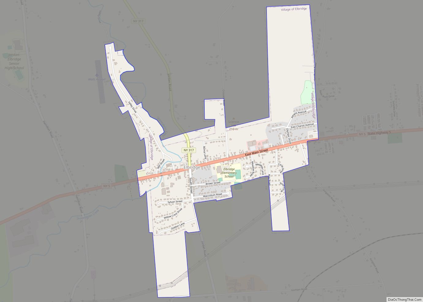
Elbridge is a village. Located in the western part of the town of Elbridge in western Onondaga County, New York, United States, about 15 miles (24 km) west of Syracuse. It is part of the Syracuse Metropolitan Statistical Area. As of the 2020 census, the population was 921.
| Name: | Elbridge village |
|---|---|
| LSAD Code: | 47 |
| LSAD Description: | village (suffix) |
| State: | New York |
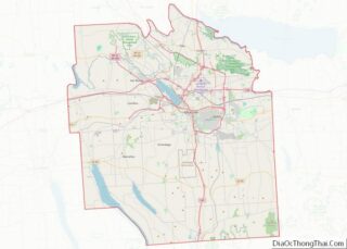
| County: | Onondaga County |
| Total Area: | 0.99 sq mi (2.58 km²) |
| Land Area: | 0.99 sq mi (2.58 km²) |
| Water Area: | 0.00 sq mi (0.00 km²) |
| Total Population: | 921 |
| Population Density: | 926.56/sq mi (357.62/km²) |
| ZIP code: | 13060 |
| Area code: | 315 |
| FIPS code: | 3623789 |
| Website: | www.villageofelbridge.com |
Online Interactive Map
Click on ![]() to view map in "full screen" mode.
to view map in "full screen" mode.
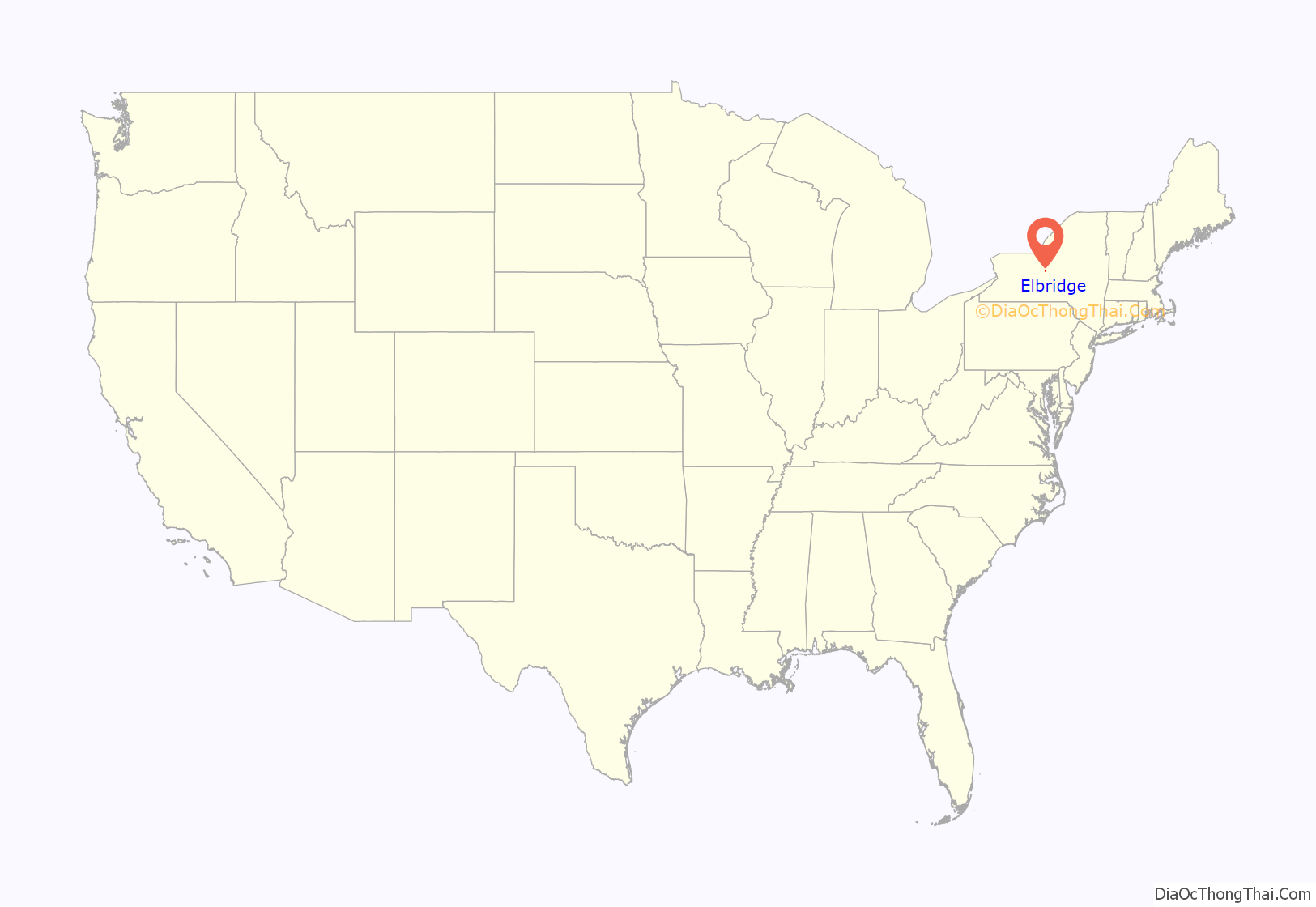
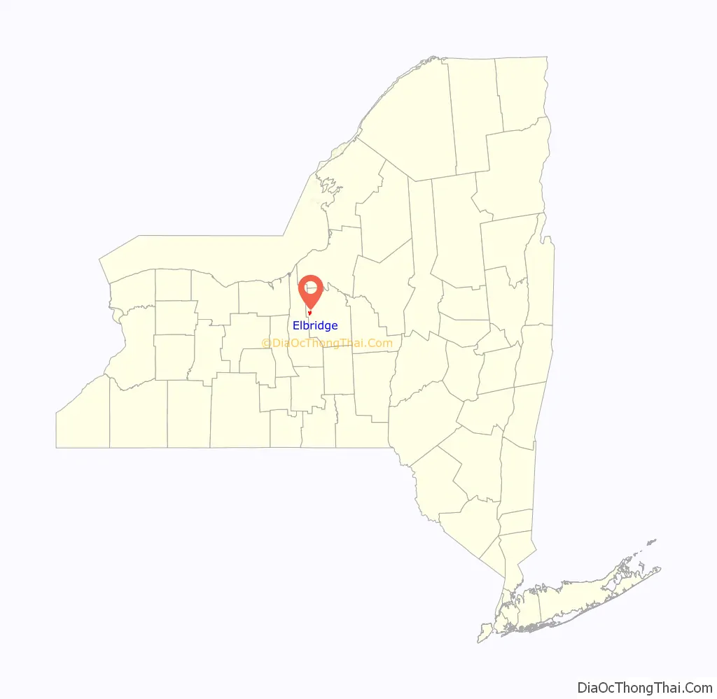
Elbridge location map. Where is Elbridge village?
History
The village is in the former Central New York Military Tract. The first settler was Josiah Buck, a government surveyor sent there in 1791 to map the area. He was so impressed that he returned with his family in 1793.
Elbridge became an incorporated village in 1848.
With the growth of nearby Syracuse, Elbridge lost manufacturing facilities and population before the beginning of the 20th century.
The Elbridge Village Historic District was listed on the National Register of Historic Places in 2002.
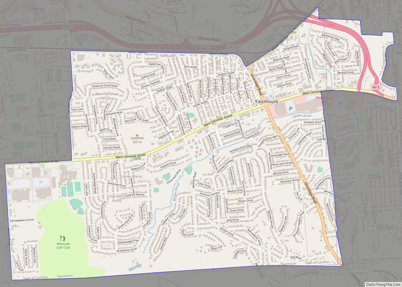
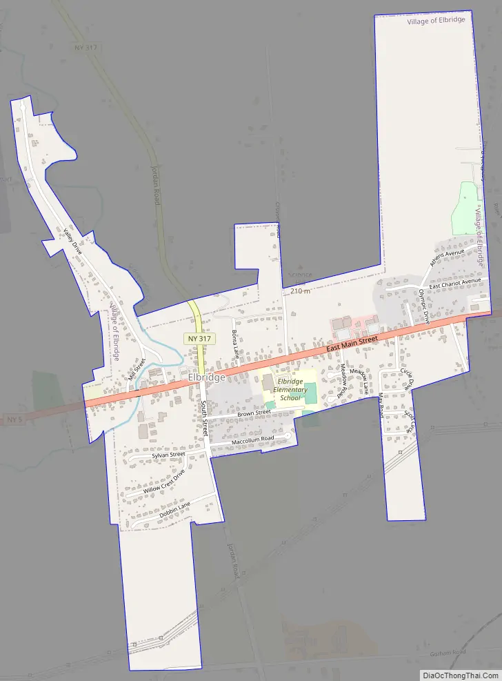
Elbridge Road Map
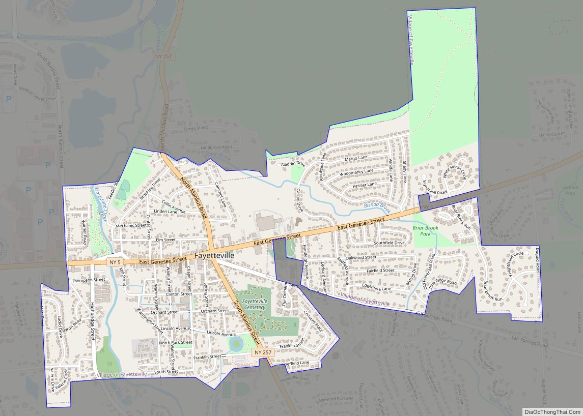
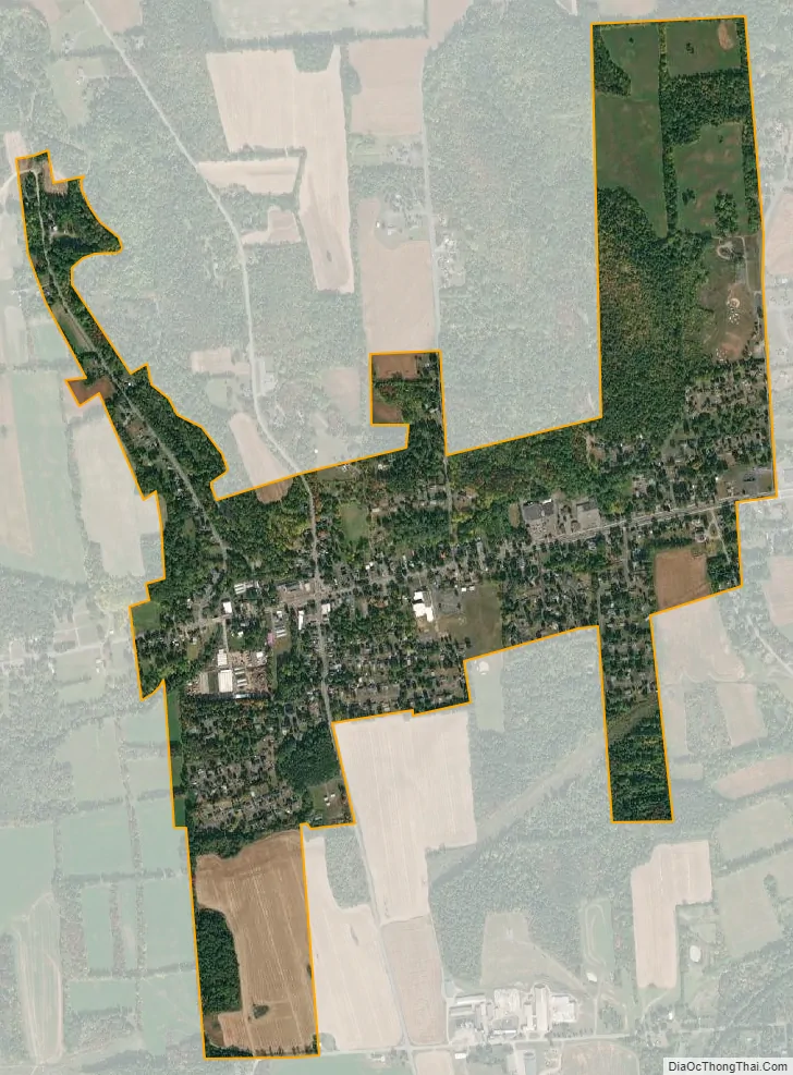
Elbridge city Satellite Map
Geography
Elbridge is located at 43°2′3″N 76°26′35″W / 43.03417°N 76.44306°W / 43.03417; -76.44306 (43.034266, -76.443282). According to the United States Census Bureau, the village has a total area 1.0 square mile (2.6 km), all land.
The area around the village is very hilly and the most famous hill in the village is Science Hill. Skaneateles Creek flows past the western side of the village.
New York State Route 5 intersects New York State Route 317 in the village.
See also
Map of New York State and its subdivision:- Albany
- Allegany
- Bronx
- Broome
- Cattaraugus
- Cayuga
- Chautauqua
- Chemung
- Chenango
- Clinton
- Columbia
- Cortland
- Delaware
- Dutchess
- Erie
- Essex
- Franklin
- Fulton
- Genesee
- Greene
- Hamilton
- Herkimer
- Jefferson
- Kings
- Lake Ontario
- Lewis
- Livingston
- Madison
- Monroe
- Montgomery
- Nassau
- New York
- Niagara
- Oneida
- Onondaga
- Ontario
- Orange
- Orleans
- Oswego
- Otsego
- Putnam
- Queens
- Rensselaer
- Richmond
- Rockland
- Saint Lawrence
- Saratoga
- Schenectady
- Schoharie
- Schuyler
- Seneca
- Steuben
- Suffolk
- Sullivan
- Tioga
- Tompkins
- Ulster
- Warren
- Washington
- Wayne
- Westchester
- Wyoming
- Yates
- Alabama
- Alaska
- Arizona
- Arkansas
- California
- Colorado
- Connecticut
- Delaware
- District of Columbia
- Florida
- Georgia
- Hawaii
- Idaho
- Illinois
- Indiana
- Iowa
- Kansas
- Kentucky
- Louisiana
- Maine
- Maryland
- Massachusetts
- Michigan
- Minnesota
- Mississippi
- Missouri
- Montana
- Nebraska
- Nevada
- New Hampshire
- New Jersey
- New Mexico
- New York
- North Carolina
- North Dakota
- Ohio
- Oklahoma
- Oregon
- Pennsylvania
- Rhode Island
- South Carolina
- South Dakota
- Tennessee
- Texas
- Utah
- Vermont
- Virginia
- Washington
- West Virginia
- Wisconsin
- Wyoming