Farmingville is a hamlet and census-designated place (CDP) in the Suffolk County town of Brookhaven, New York, United States. The population was 15,481 at the 2010 census.
| Name: | Farmingville CDP |
|---|---|
| LSAD Code: | 57 |
| LSAD Description: | CDP (suffix) |
| State: | New York |
| County: | Suffolk County |
| Elevation: | 105 ft (32 m) |
| Total Area: | 4.19 sq mi (10.85 km²) |
| Land Area: | 4.19 sq mi (10.85 km²) |
| Water Area: | 0.00 sq mi (0.00 km²) |
| Total Population: | 14,983 |
| Population Density: | 3,577.60/sq mi (1,381.41/km²) |
| ZIP code: | 11738 |
| Area code: | 631, 934 |
| FIPS code: | 3625417 |
| GNISfeature ID: | 0949921 |
Online Interactive Map
Click on ![]() to view map in "full screen" mode.
to view map in "full screen" mode.
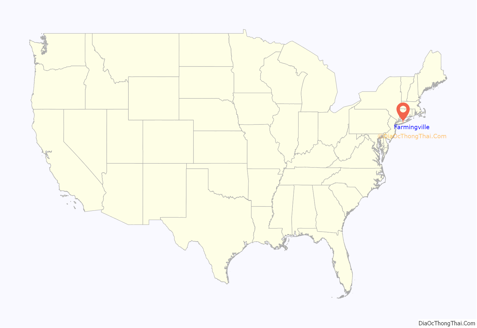
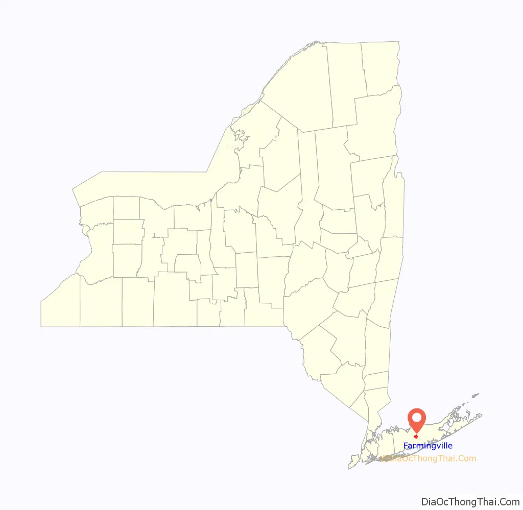
Farmingville location map. Where is Farmingville CDP?
History
The first settlement in what is now called Farmingville occurred in the late 18th century, and was called Bald Hills and Mooney Ponds, before it eventually was called Farmingville (though the soil and hills are not good for agriculture). The Keibel Family had a 72-acre fruit and vegetable farm from 1950 till 1982. It did not have its own post office until 1950.
The home of Elijah Terry, the first teacher in the local school, was built in 1823 and sits next to the Bald Hill Schoolhouse, built in 1850. The schoolhouse is in the National Register of Historic Places.
Bald Hill, one of the highest points on Long Island, is located on the Ronkonkoma Moraine, where the glacier which formed Long Island stopped its advance. At the top of Bald Hill is Vietnam Memorial Park, which includes an obelisk-shaped monument painted red, white, and blue, which was dedicated on Nov. 11, 1991. The Bald Hill Cultural Center features the outdoor Long Island Community Hospital Amphitheater and was previously the location of a ski area from 1965–1980.
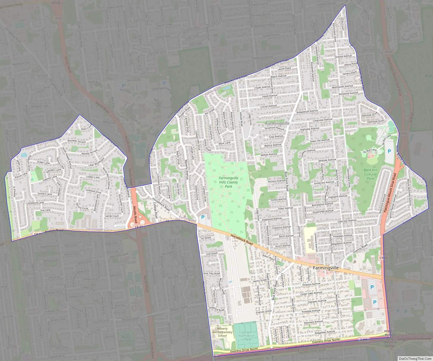
Farmingville Road Map
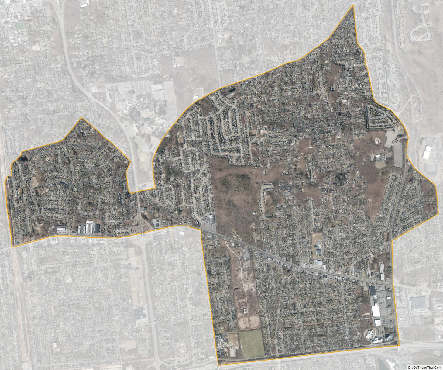
Farmingville city Satellite Map
See also
Map of New York State and its subdivision:- Albany
- Allegany
- Bronx
- Broome
- Cattaraugus
- Cayuga
- Chautauqua
- Chemung
- Chenango
- Clinton
- Columbia
- Cortland
- Delaware
- Dutchess
- Erie
- Essex
- Franklin
- Fulton
- Genesee
- Greene
- Hamilton
- Herkimer
- Jefferson
- Kings
- Lake Ontario
- Lewis
- Livingston
- Madison
- Monroe
- Montgomery
- Nassau
- New York
- Niagara
- Oneida
- Onondaga
- Ontario
- Orange
- Orleans
- Oswego
- Otsego
- Putnam
- Queens
- Rensselaer
- Richmond
- Rockland
- Saint Lawrence
- Saratoga
- Schenectady
- Schoharie
- Schuyler
- Seneca
- Steuben
- Suffolk
- Sullivan
- Tioga
- Tompkins
- Ulster
- Warren
- Washington
- Wayne
- Westchester
- Wyoming
- Yates
- Alabama
- Alaska
- Arizona
- Arkansas
- California
- Colorado
- Connecticut
- Delaware
- District of Columbia
- Florida
- Georgia
- Hawaii
- Idaho
- Illinois
- Indiana
- Iowa
- Kansas
- Kentucky
- Louisiana
- Maine
- Maryland
- Massachusetts
- Michigan
- Minnesota
- Mississippi
- Missouri
- Montana
- Nebraska
- Nevada
- New Hampshire
- New Jersey
- New Mexico
- New York
- North Carolina
- North Dakota
- Ohio
- Oklahoma
- Oregon
- Pennsylvania
- Rhode Island
- South Carolina
- South Dakota
- Tennessee
- Texas
- Utah
- Vermont
- Virginia
- Washington
- West Virginia
- Wisconsin
- Wyoming


