Floral Park is an incorporated village in Nassau County, New York, United States, on Long Island. The population as of the US Census of 2010 is 15,863.
The Incorporated Village of Floral Park is at the western border of Nassau County, and is located mainly in the Town of Hempstead, while the section north of Jericho Turnpike is within the Town of North Hempstead. The area was formerly known as East Hinsdale.
The neighborhood of Floral Park in the New York City borough of Queens is adjacent to the village.
| Name: | Floral Park village |
|---|---|
| LSAD Code: | 47 |
| LSAD Description: | village (suffix) |
| State: | New York |
| County: | Nassau County |
| Founded: | 1874 |
| Incorporated: | 1908 |
| Elevation: | 92 ft (28 m) |
| Total Area: | 1.43 sq mi (3.72 km²) |
| Land Area: | 1.42 sq mi (3.68 km²) |
| Water Area: | 0.01 sq mi (0.03 km²) |
| Total Population: | 16,172 |
| Population Density: | 11,380.72/sq mi (4,394.20/km²) |
| Area code: | 516 |
| FIPS code: | 3626264 |
| GNISfeature ID: | 0950296 |
| Website: | www.fpvillage.org |
Online Interactive Map
Click on ![]() to view map in "full screen" mode.
to view map in "full screen" mode.
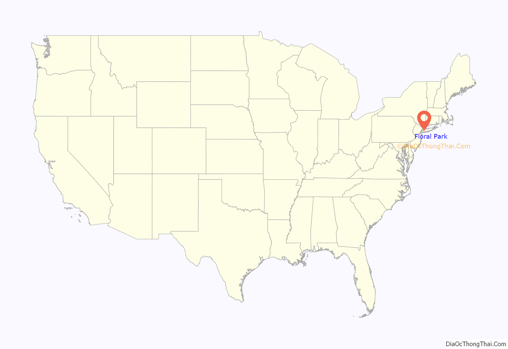
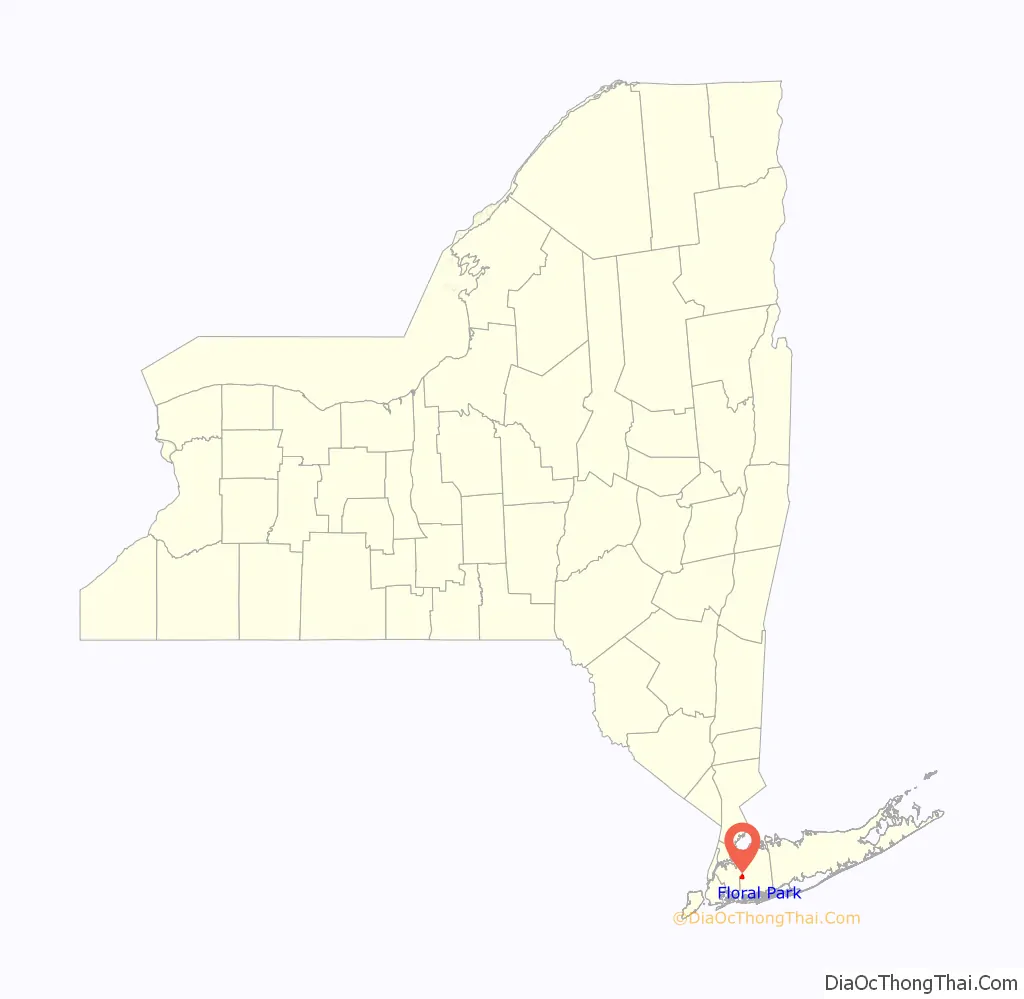
Floral Park location map. Where is Floral Park village?
History
The area that is now Floral Park once marked the western edge of the great Hempstead Plains, and by some reports was initially known as Plainfield. Farms and tiny villages dominated the area through the 1870s when the development of the Long Island Rail Road Hempstead Branch and Jericho Turnpike cut through the area. Hinsdale had more than two dozen flower farms after the Civil War. The present-day village of Floral Park was once called East Hinsdale.
In 1874, John Lewis Childs arrived in the area to work for C.L. Allen as a seed seller. After building his own seed and bulb business and starting America’s first seed catalog business, Childs bought a great deal of land in the area. To promote his own business and the local horticultural industry, Childs named the local streets after flowers and renamed the area Floral Park. The expansion of the Floral Park Post Office and nearby village businesses are attributed solely to the success of Childs’ business.
When the local Post Office took the name Floral Park, the Long Island Rail Road followed suit by changing the name of the East Hinsdale station to Floral Park in 1888. Formerly part of Queens, Floral Park became part of the new county of Nassau in 1899, and it was incorporated as a village in 1908. Childs served as its first president starting that year.
In 1903, the village boasted more than 200 acres (0.81 km) of Childs’ flower beds. The massive volume of his mail order business grew the local post office to such an extent that it drew comparisons with the post offices of Chicago, Baltimore, and Boston.
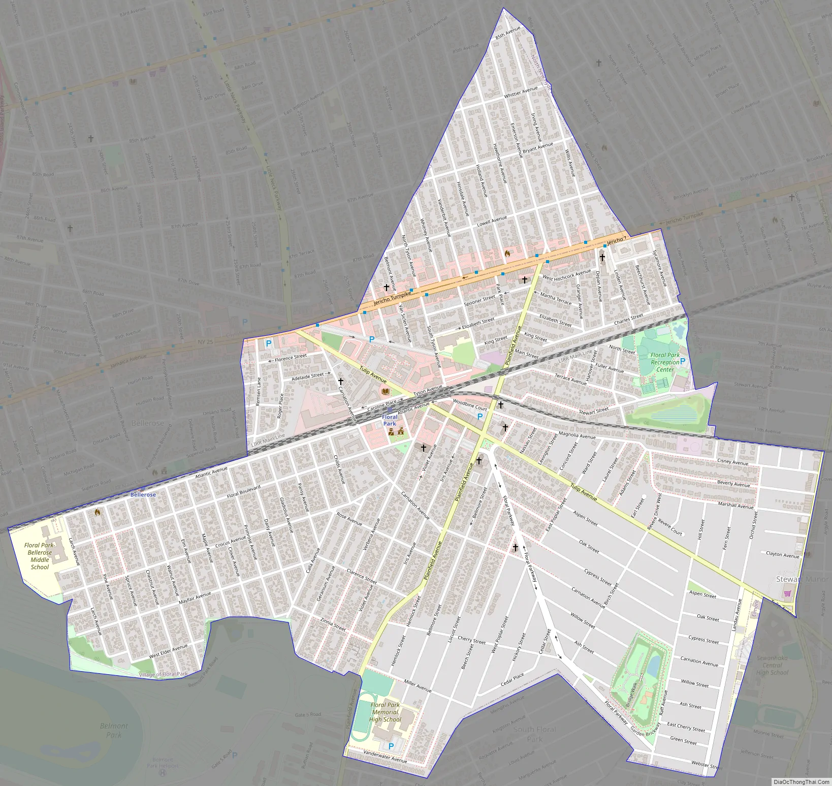
Floral Park Road Map
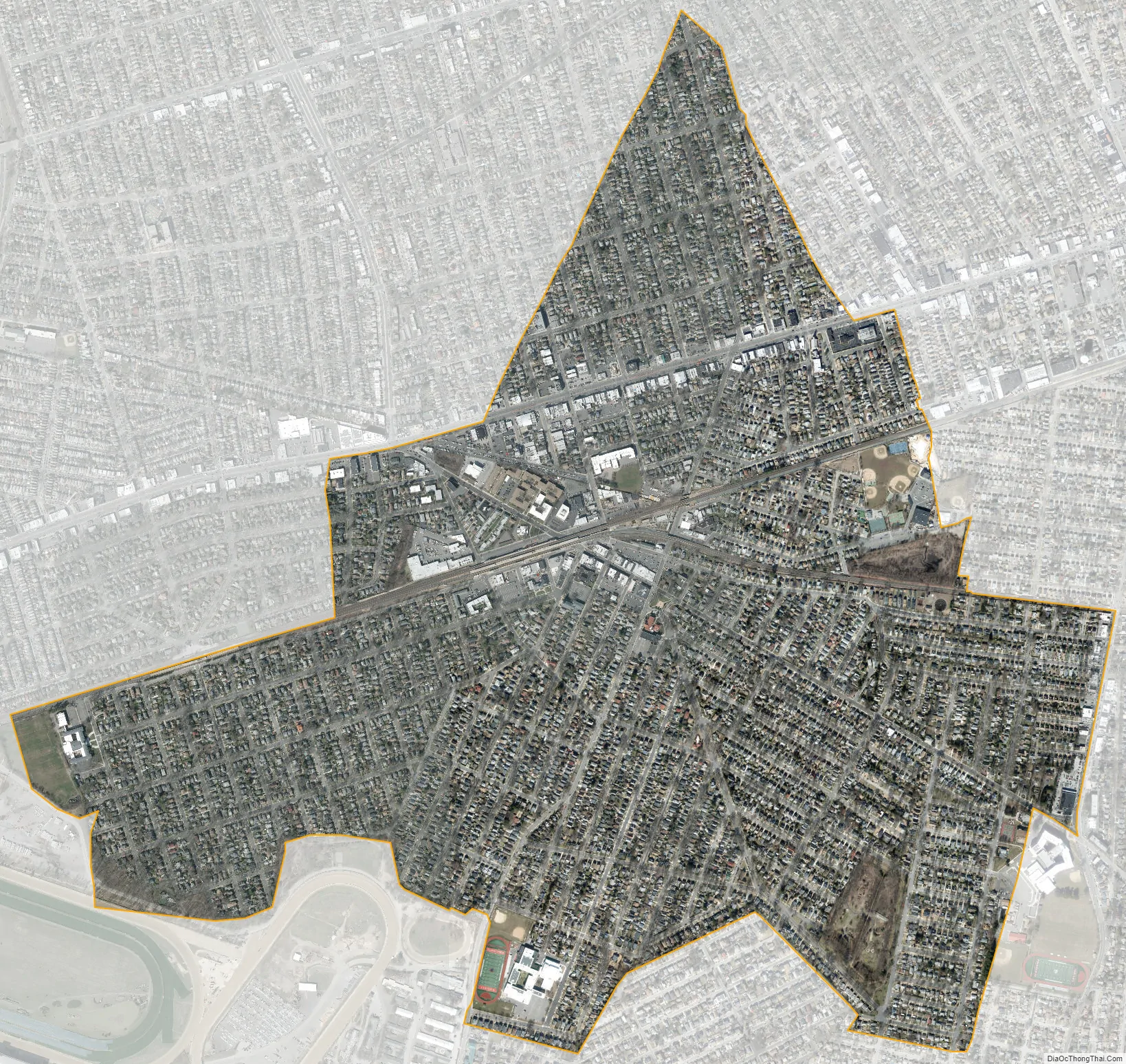
Floral Park city Satellite Map
Geography
According to the United States Census Bureau, the village has a total area of 1.4 square miles (3.6 km), all land.
Floral Park is located at 40°43′26″N 73°42′21″W / 40.7238889°N 73.7058333°W / 40.7238889; -73.7058333.
The northern and western village boundaries are the border with New York City.
The village also shares borders with the Nassau County neighborhoods of Bellerose Village and Bellerose Terrace to the Northwest, New Hyde Park and Stewart Manor to the East, South Floral Park to the South, and Elmont to the Southwest.
See also
Map of New York State and its subdivision:- Albany
- Allegany
- Bronx
- Broome
- Cattaraugus
- Cayuga
- Chautauqua
- Chemung
- Chenango
- Clinton
- Columbia
- Cortland
- Delaware
- Dutchess
- Erie
- Essex
- Franklin
- Fulton
- Genesee
- Greene
- Hamilton
- Herkimer
- Jefferson
- Kings
- Lake Ontario
- Lewis
- Livingston
- Madison
- Monroe
- Montgomery
- Nassau
- New York
- Niagara
- Oneida
- Onondaga
- Ontario
- Orange
- Orleans
- Oswego
- Otsego
- Putnam
- Queens
- Rensselaer
- Richmond
- Rockland
- Saint Lawrence
- Saratoga
- Schenectady
- Schoharie
- Schuyler
- Seneca
- Steuben
- Suffolk
- Sullivan
- Tioga
- Tompkins
- Ulster
- Warren
- Washington
- Wayne
- Westchester
- Wyoming
- Yates
- Alabama
- Alaska
- Arizona
- Arkansas
- California
- Colorado
- Connecticut
- Delaware
- District of Columbia
- Florida
- Georgia
- Hawaii
- Idaho
- Illinois
- Indiana
- Iowa
- Kansas
- Kentucky
- Louisiana
- Maine
- Maryland
- Massachusetts
- Michigan
- Minnesota
- Mississippi
- Missouri
- Montana
- Nebraska
- Nevada
- New Hampshire
- New Jersey
- New Mexico
- New York
- North Carolina
- North Dakota
- Ohio
- Oklahoma
- Oregon
- Pennsylvania
- Rhode Island
- South Carolina
- South Dakota
- Tennessee
- Texas
- Utah
- Vermont
- Virginia
- Washington
- West Virginia
- Wisconsin
- Wyoming


