Forest Home is a census-designated place (CDP) in Tompkins County, New York, United States. The population was 572 at the 2010 census.
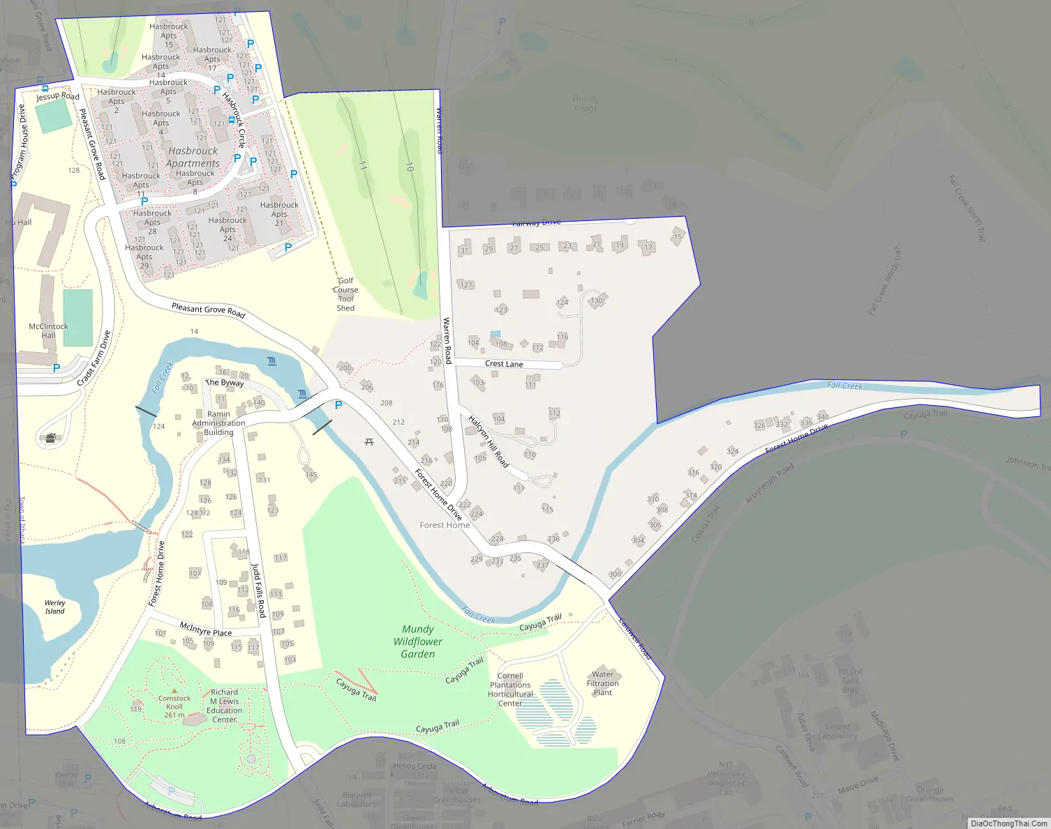
The community of Forest Home is in the Town of Ithaca, northeast of the City of Ithaca and north of Cornell University.
| Name: | Forest Home CDP |
|---|---|
| LSAD Code: | 57 |
| LSAD Description: | CDP (suffix) |
| State: | New York |
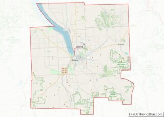
| County: | Tompkins County |
| Elevation: | 922 ft (281 m) |
| Total Area: | 0.24 sq mi (0.63 km²) |
| Land Area: | 0.23 sq mi (0.58 km²) |
| Water Area: | 0.02 sq mi (0.05 km²) |
| Total Population: | 1,168 |
| Population Density: | 5,191.11/sq mi (2,004.07/km²) |
| FIPS code: | 3626561 |
| GNISfeature ID: | 0950403 |
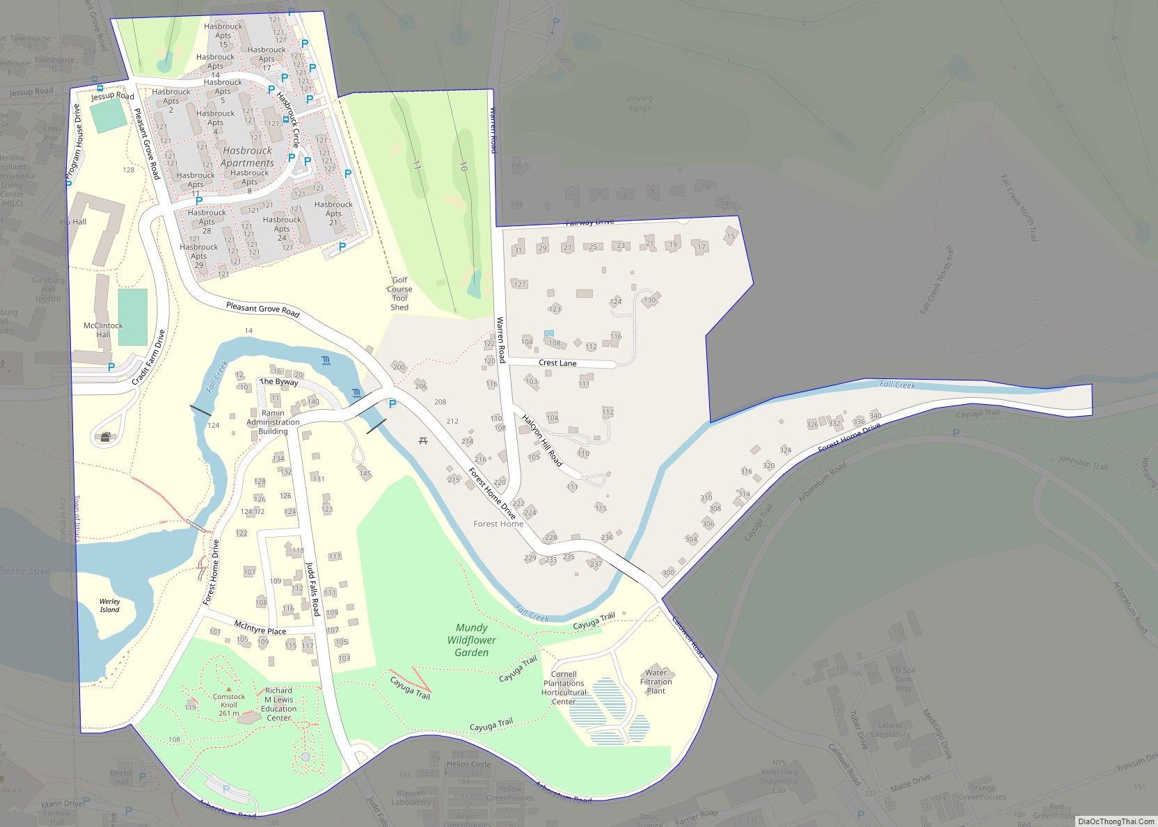
Online Interactive Map
Click on ![]() to view map in "full screen" mode.
to view map in "full screen" mode.
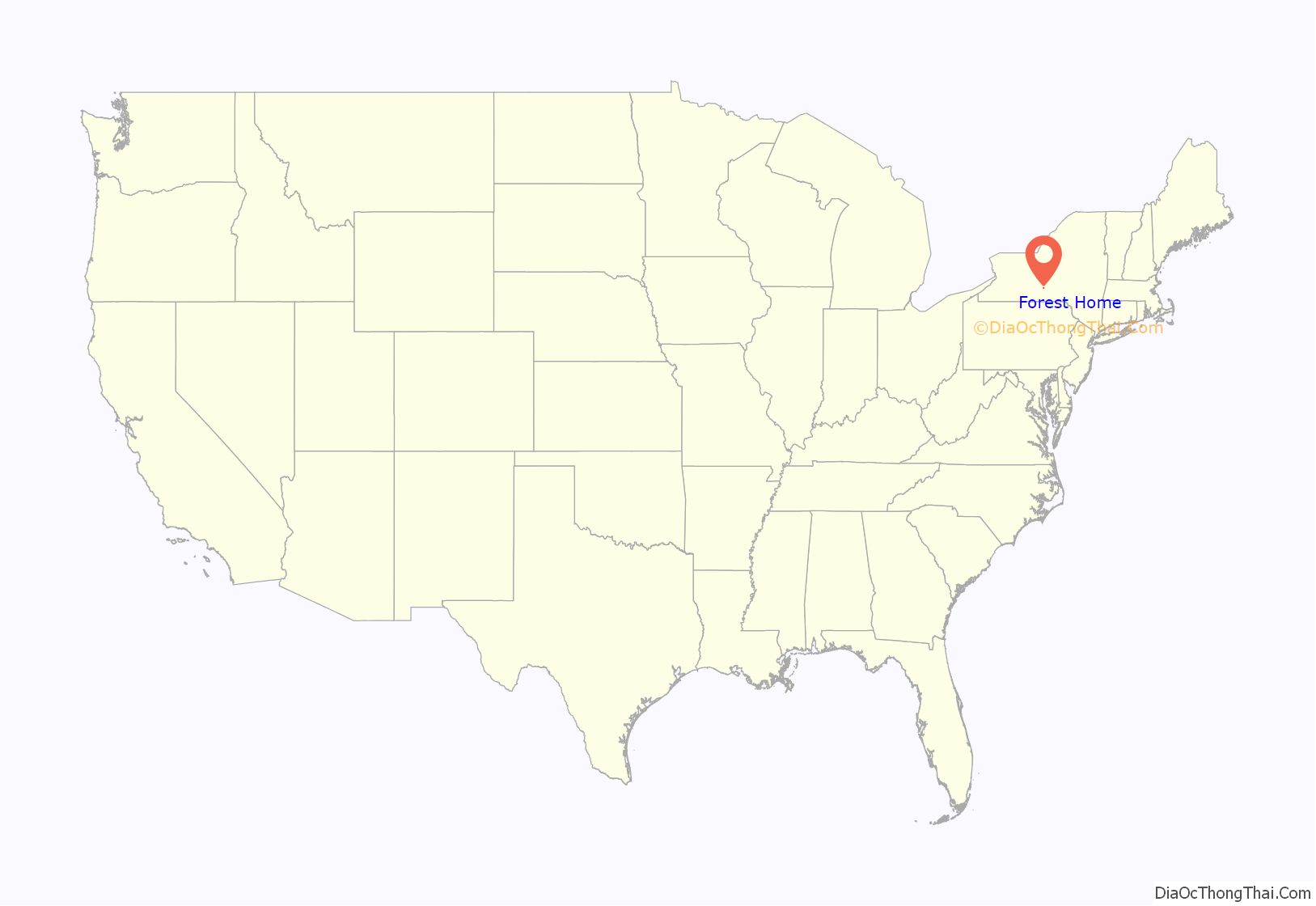
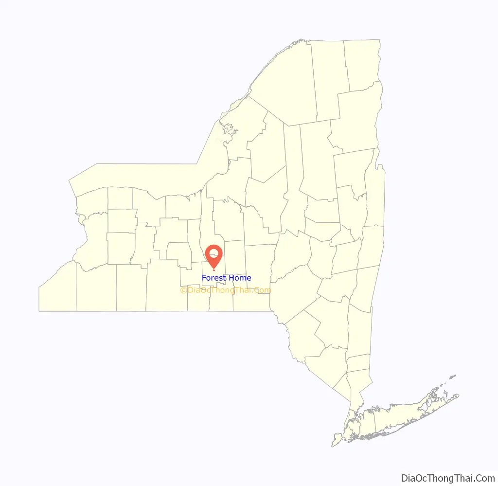
Forest Home location map. Where is Forest Home CDP?
History
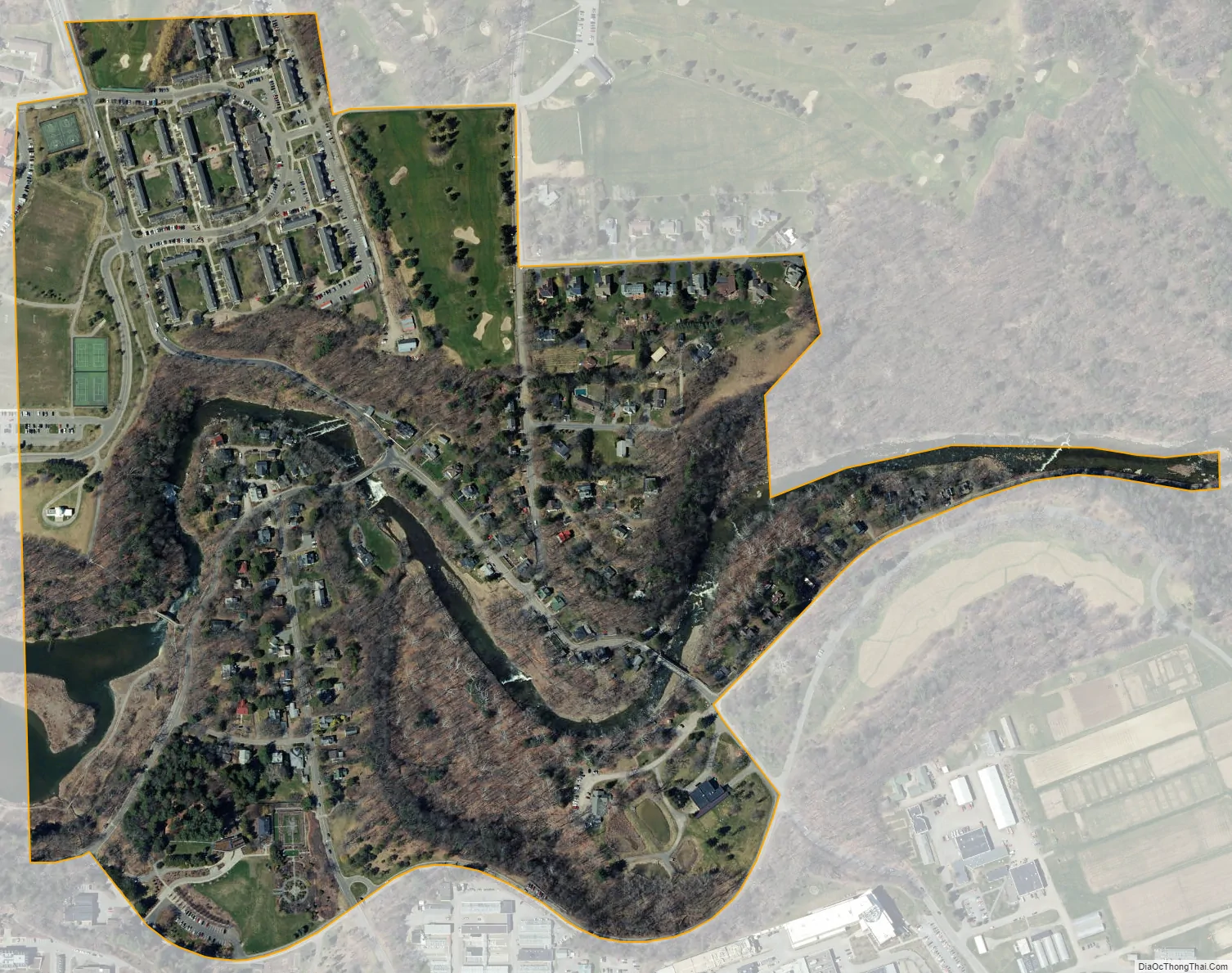
The first European settlers, Joseph and Martha Sydney, founded a mill on Fall Creek in 1794, and other grist and sawmills were soon constructed. During this time the community was called Free Hollow, which changed to Forest Home in 1876. Two historic steel truss bridges, both still used today, were finished in the early twentieth century. The last operating mill in the village was closed in 1926. Today, Forest Home is a small residential community nearly surrounded by the Cornell Botanic Gardens.
The Forest Home Historic District was listed on the National Register of Historic Places in 1998.
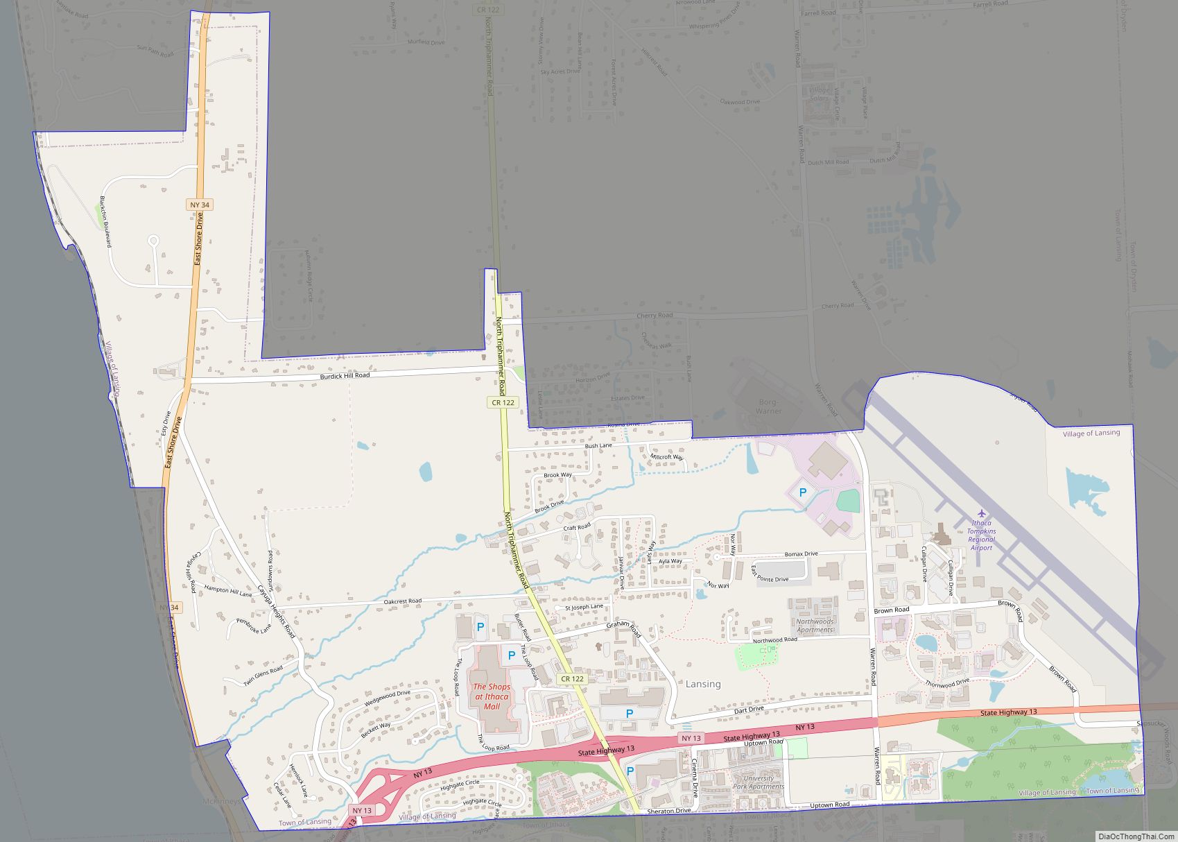
Forest Home Road Map
Forest Home city Satellite Map
Geography
Forest Home is located at 42°27′11″N 76°28′17″W / 42.45306°N 76.47139°W / 42.45306; -76.47139 (42.453158, -76.471473).
According to the United States Census Bureau, the CDP has a total area of 0.3 square miles (0.78 km), of which, 0.3 square miles (0.78 km) of it is land and 3.70% is water.
The community is located near the south end of Cayuga Lake.
See also
Map of New York State and its subdivision:- Albany
- Allegany
- Bronx
- Broome
- Cattaraugus
- Cayuga
- Chautauqua
- Chemung
- Chenango
- Clinton
- Columbia
- Cortland
- Delaware
- Dutchess
- Erie
- Essex
- Franklin
- Fulton
- Genesee
- Greene
- Hamilton
- Herkimer
- Jefferson
- Kings
- Lake Ontario
- Lewis
- Livingston
- Madison
- Monroe
- Montgomery
- Nassau
- New York
- Niagara
- Oneida
- Onondaga
- Ontario
- Orange
- Orleans
- Oswego
- Otsego
- Putnam
- Queens
- Rensselaer
- Richmond
- Rockland
- Saint Lawrence
- Saratoga
- Schenectady
- Schoharie
- Schuyler
- Seneca
- Steuben
- Suffolk
- Sullivan
- Tioga
- Tompkins
- Ulster
- Warren
- Washington
- Wayne
- Westchester
- Wyoming
- Yates
- Alabama
- Alaska
- Arizona
- Arkansas
- California
- Colorado
- Connecticut
- Delaware
- District of Columbia
- Florida
- Georgia
- Hawaii
- Idaho
- Illinois
- Indiana
- Iowa
- Kansas
- Kentucky
- Louisiana
- Maine
- Maryland
- Massachusetts
- Michigan
- Minnesota
- Mississippi
- Missouri
- Montana
- Nebraska
- Nevada
- New Hampshire
- New Jersey
- New Mexico
- New York
- North Carolina
- North Dakota
- Ohio
- Oklahoma
- Oregon
- Pennsylvania
- Rhode Island
- South Carolina
- South Dakota
- Tennessee
- Texas
- Utah
- Vermont
- Virginia
- Washington
- West Virginia
- Wisconsin
- Wyoming