Fort Salonga is a hamlet and census-designated place (CDP) in the Towns of Huntington and Smithtown in Suffolk County, on the North Shore of Long Island, in New York, United States. The population was 10,008 at the 2010 census.
The hamlet is considered the easternmost part of the historic Gold Coast of Long Island, with the Geissler Estate being located within the hamlet.
| Name: | Fort Salonga CDP |
|---|---|
| LSAD Code: | 57 |
| LSAD Description: | CDP (suffix) |
| State: | New York |
| County: | Suffolk County |
| Elevation: | 33 ft (10 m) |
| Total Area: | 13.23 sq mi (34.26 km²) |
| Land Area: | 9.49 sq mi (24.58 km²) |
| Water Area: | 3.74 sq mi (9.68 km²) |
| Total Population: | 9,652 |
| Population Density: | 1,016.96/sq mi (392.67/km²) |
| ZIP code: | 11768 |
| Area code: | 631, 934 |
| FIPS code: | 3626946 |
| GNISfeature ID: | 0950497 |
| Website: | www.fortsalonga.org |
Online Interactive Map
Click on ![]() to view map in "full screen" mode.
to view map in "full screen" mode.
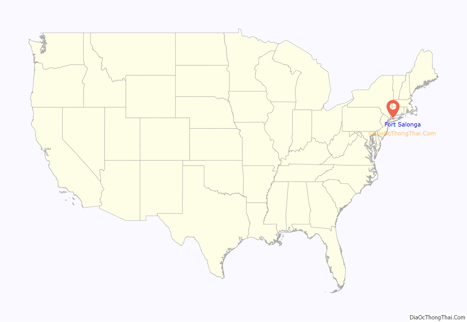
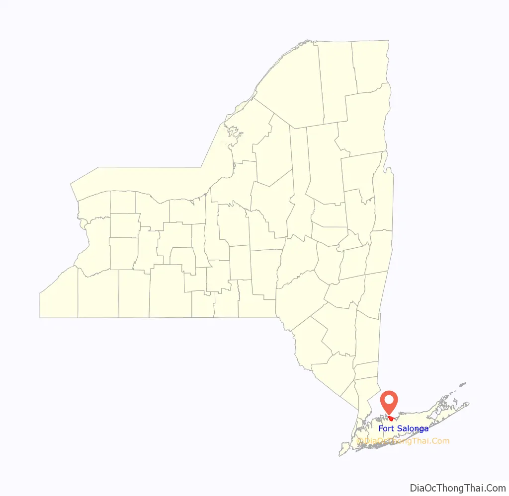
Fort Salonga location map. Where is Fort Salonga CDP?
History
One night during the Revolutionary War, Colonial forces landed on the beach in nearby Crab Meadow, and moving down the beach overtook the fort.
In the post-Civil War era the rich red clay deposits gave birth to a successful brickworks as well as other trade. Barges loaded with manure swept from the streets of New York City would arrive, and farmers from nearby towns would come to get the manure for fertilizer. The emptied barges were then loaded with bricks for the trip back to the city. One of the brick companies to operate there in the late 19th century was owned by the Brown family, whose bricks bore the initials BBB for Brown’s Best Bricks. The family home on the top of the hill on Breeze Hill Road has served as the clubhouse for the Indian Hills Country Club since 1963.
The hamlet’s name
The name evolved from the Revolutionary War-era British Fort Salonga, or Fort Slongo, (named after one of the fort’s architects) once located near the border of the towns of Huntington and Smithtown, overlooking the Long Island Sound.
The area was formerly known as Fresh Pond.
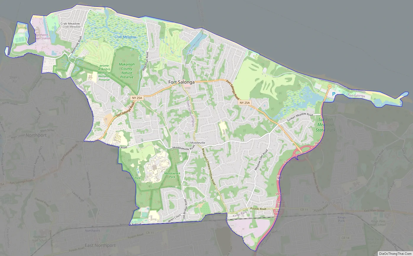
Fort Salonga Road Map
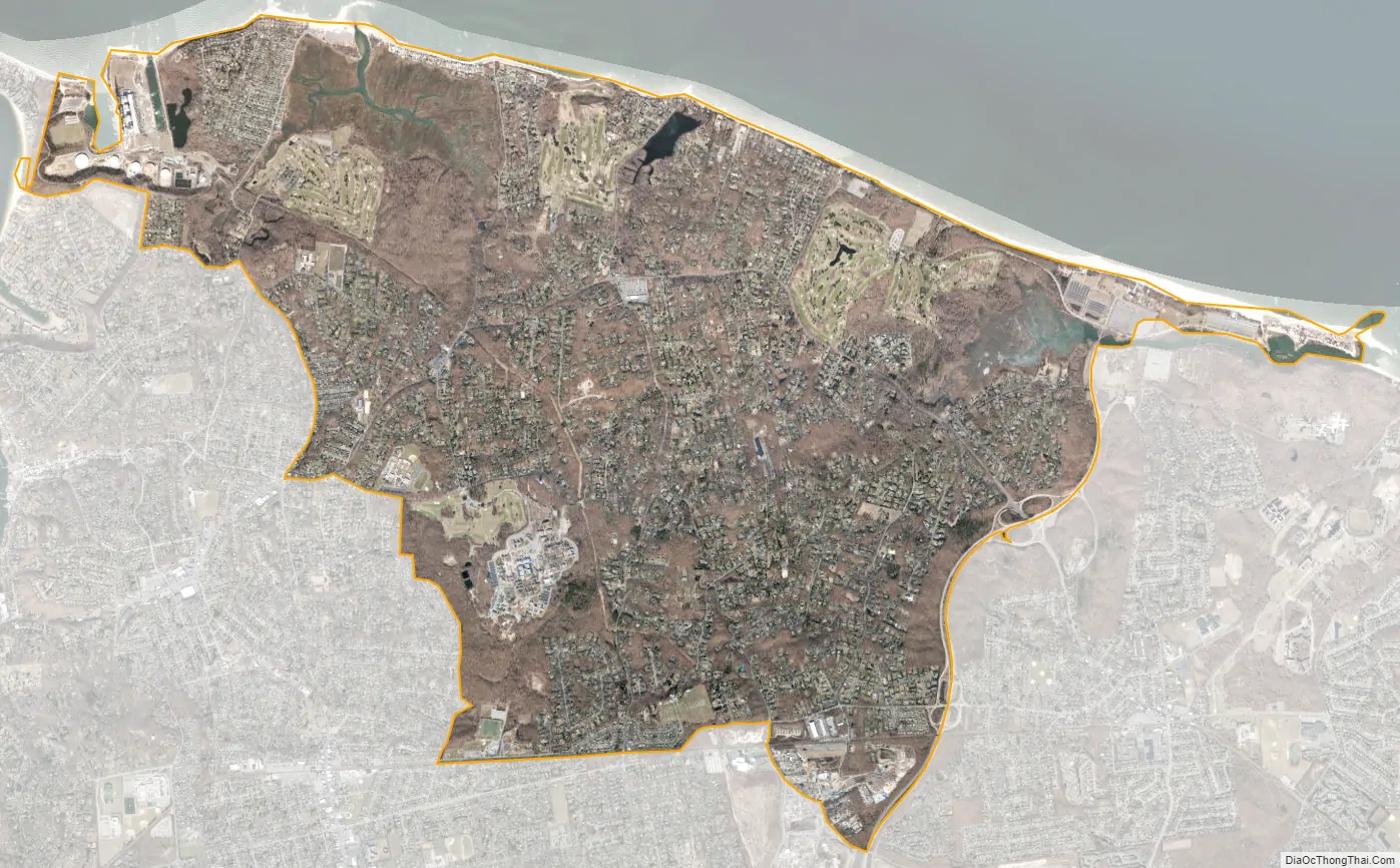
Fort Salonga city Satellite Map
Geography
According to the United States Census Bureau, the CDP has a total area of 9.9 square miles (25.7 km), of which 9.8 square miles (25.5 km) is land and 0.12 square miles (0.3 km), or 1.12%, is water.
The Fort Salonga CDP includes the hamlet of Crab Meadow.
See also
Map of New York State and its subdivision:- Albany
- Allegany
- Bronx
- Broome
- Cattaraugus
- Cayuga
- Chautauqua
- Chemung
- Chenango
- Clinton
- Columbia
- Cortland
- Delaware
- Dutchess
- Erie
- Essex
- Franklin
- Fulton
- Genesee
- Greene
- Hamilton
- Herkimer
- Jefferson
- Kings
- Lake Ontario
- Lewis
- Livingston
- Madison
- Monroe
- Montgomery
- Nassau
- New York
- Niagara
- Oneida
- Onondaga
- Ontario
- Orange
- Orleans
- Oswego
- Otsego
- Putnam
- Queens
- Rensselaer
- Richmond
- Rockland
- Saint Lawrence
- Saratoga
- Schenectady
- Schoharie
- Schuyler
- Seneca
- Steuben
- Suffolk
- Sullivan
- Tioga
- Tompkins
- Ulster
- Warren
- Washington
- Wayne
- Westchester
- Wyoming
- Yates
- Alabama
- Alaska
- Arizona
- Arkansas
- California
- Colorado
- Connecticut
- Delaware
- District of Columbia
- Florida
- Georgia
- Hawaii
- Idaho
- Illinois
- Indiana
- Iowa
- Kansas
- Kentucky
- Louisiana
- Maine
- Maryland
- Massachusetts
- Michigan
- Minnesota
- Mississippi
- Missouri
- Montana
- Nebraska
- Nevada
- New Hampshire
- New Jersey
- New Mexico
- New York
- North Carolina
- North Dakota
- Ohio
- Oklahoma
- Oregon
- Pennsylvania
- Rhode Island
- South Carolina
- South Dakota
- Tennessee
- Texas
- Utah
- Vermont
- Virginia
- Washington
- West Virginia
- Wisconsin
- Wyoming


