Franklin Square is a hamlet and census-designated place (CDP) in Nassau County, New York, United States. The hamlet is an unincorporated area in the Town of Hempstead. The population was 29,320 at the 2010 census.
The area was originally known as Trimming Square and then as Washington Square.
| Name: | Franklin Square CDP |
|---|---|
| LSAD Code: | 57 |
| LSAD Description: | CDP (suffix) |
| State: | New York |
| County: | Nassau County |
| Elevation: | 66 ft (20 m) |
| Total Area: | 2.88 sq mi (7.46 km²) |
| Land Area: | 2.88 sq mi (7.46 km²) |
| Water Area: | 0.00 sq mi (0.00 km²) |
| Total Population: | 30,903 |
| Population Density: | 10,730.21/sq mi (4,143.09/km²) |
| ZIP code: | 11010 |
| Area code: | 516 |
| FIPS code: | 3627309 |
| GNISfeature ID: | 0950629 |
Online Interactive Map
Click on ![]() to view map in "full screen" mode.
to view map in "full screen" mode.
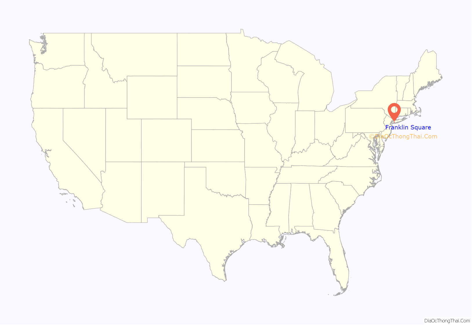
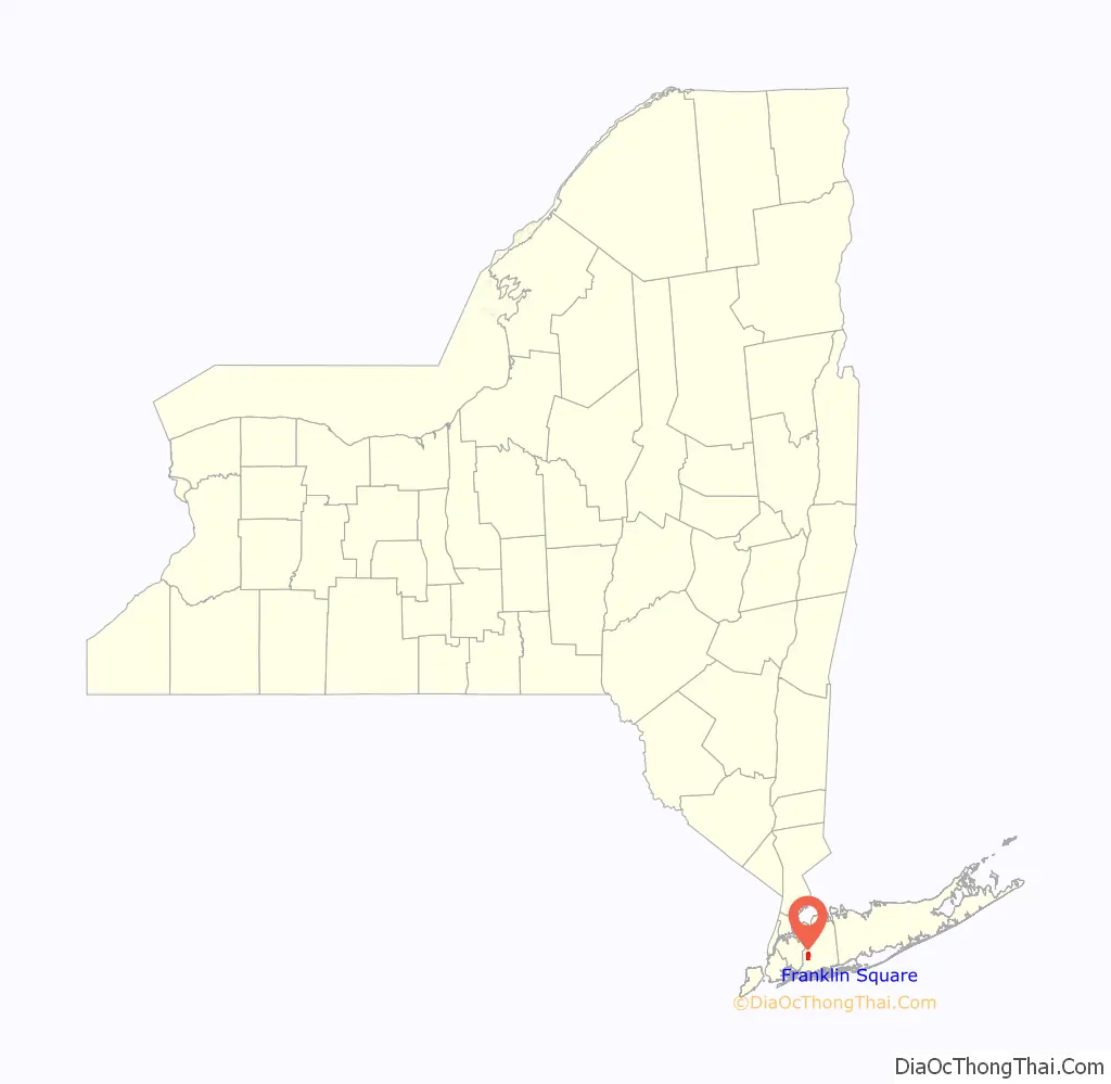
Franklin Square location map. Where is Franklin Square CDP?
History
What is now Franklin Square was near the center of the Hempstead Plains, and used as grazing land, and later farmland, by the first white settlers. The southern portion included oak and dogwood forests.
In late 1643, Robert Fordham and John Carman made a treaty with members of the Massapequak, Mericoke, Matinecock and Rockaway tribes to buy roughly 100 square miles upon which they intended to start a new settlement. They purchased this tract, including much of what are now the towns of Hempstead and North Hempstead.
In 1790, George Washington passed through the town while touring Long Island. He wrote in his diary that the area was “entirely treeless except for a few scraggly fruit trees.” Walt Whitman spent three months in the spring of 1840 as the schoolmaster of the Trimming Square school district, in the area where Franklin Square, Garden City South and West Hempstead intersect.
In 1852, one Louis Schroeher built a hotel near a tollgate (by what is now Arden Boulevard) of the Hempstead-Jamaica Turnpike (toll road). The hotel attracted an increasing number of visitors and immigrants (the latter often German) from New York City to the formerly rural hamlet.
Population grew steadily until the sudden intensified surge of suburbanization into post-World War II Long Island reached the village. By 1952, the farms were all gone, replaced by newly built houses full of emigrants from nearby New York City.
Name
It is rumored that the original name for the area, Trimming Square, reflected the fact that farms once dominated the area’s landscape (as was common for areas all across the Hempstead Plains), and because many sheep were brought to the area by local farmers for separation during the latter parts of the 18th Century. The Trimming Square name was used between the early 19th Century and 1851, when the name was changed to Washington Square after George Washington.
The name of the community was again changed in the 1870s when locals made strides to establish a local U.S. post office. The United States Postal Service would not use the name Washington Square, as they felt that there were too many other places within New York which had Washington in their names. This led to locals again changing the name, and they ultimately chose the name Franklin Square. It is rumored that the name is in honor of Benjamin Franklin.
Failed incorporation attempt
In February 1929, locals tried incorporating their community as the Incorporated Village of Franklin Square. However, the plans were scrapped that April when the Town of Hempstead denied the petition, due to the fact that too few residents were in favor of incorporation.
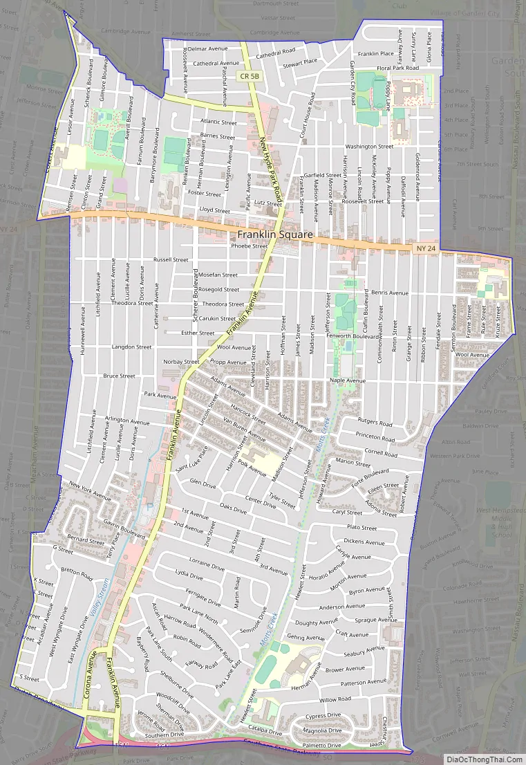
Franklin Square Road Map
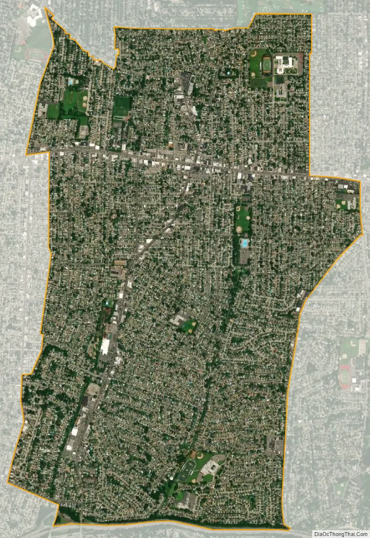
Franklin Square city Satellite Map
Geography
According to the United States Census Bureau, the CDP has a total area of 2.9 square miles (7.5 km), all land.
Franklin Square is bordered on the north by Stewart Manor, northeast by Garden City and Garden City South, southwest by North Valley Stream, east by West Hempstead, and west by Elmont.
See also
Map of New York State and its subdivision:- Albany
- Allegany
- Bronx
- Broome
- Cattaraugus
- Cayuga
- Chautauqua
- Chemung
- Chenango
- Clinton
- Columbia
- Cortland
- Delaware
- Dutchess
- Erie
- Essex
- Franklin
- Fulton
- Genesee
- Greene
- Hamilton
- Herkimer
- Jefferson
- Kings
- Lake Ontario
- Lewis
- Livingston
- Madison
- Monroe
- Montgomery
- Nassau
- New York
- Niagara
- Oneida
- Onondaga
- Ontario
- Orange
- Orleans
- Oswego
- Otsego
- Putnam
- Queens
- Rensselaer
- Richmond
- Rockland
- Saint Lawrence
- Saratoga
- Schenectady
- Schoharie
- Schuyler
- Seneca
- Steuben
- Suffolk
- Sullivan
- Tioga
- Tompkins
- Ulster
- Warren
- Washington
- Wayne
- Westchester
- Wyoming
- Yates
- Alabama
- Alaska
- Arizona
- Arkansas
- California
- Colorado
- Connecticut
- Delaware
- District of Columbia
- Florida
- Georgia
- Hawaii
- Idaho
- Illinois
- Indiana
- Iowa
- Kansas
- Kentucky
- Louisiana
- Maine
- Maryland
- Massachusetts
- Michigan
- Minnesota
- Mississippi
- Missouri
- Montana
- Nebraska
- Nevada
- New Hampshire
- New Jersey
- New Mexico
- New York
- North Carolina
- North Dakota
- Ohio
- Oklahoma
- Oregon
- Pennsylvania
- Rhode Island
- South Carolina
- South Dakota
- Tennessee
- Texas
- Utah
- Vermont
- Virginia
- Washington
- West Virginia
- Wisconsin
- Wyoming


