Gordon Heights is a hamlet and census-designated place (CDP) in the Town of Brookhaven, Suffolk County, Long Island, New York, United States. The population was 3,981 at the 2020 census.
| Name: | Gordon Heights CDP |
|---|---|
| LSAD Code: | 57 |
| LSAD Description: | CDP (suffix) |
| State: | New York |
| County: | Suffolk County |
| Elevation: | 154 ft (47 m) |
| Total Area: | 1.72 sq mi (4.45 km²) |
| Land Area: | 1.70 sq mi (4.41 km²) |
| Water Area: | 0.01 sq mi (0.04 km²) |
| Total Population: | 3,981 |
| Population Density: | 2,336.27/sq mi (901.96/km²) |
| ZIP code: | 11763 |
| Area code: | 631, 934 |
| FIPS code: | 3629509 |
| GNISfeature ID: | 0970171 |
Online Interactive Map
Click on ![]() to view map in "full screen" mode.
to view map in "full screen" mode.
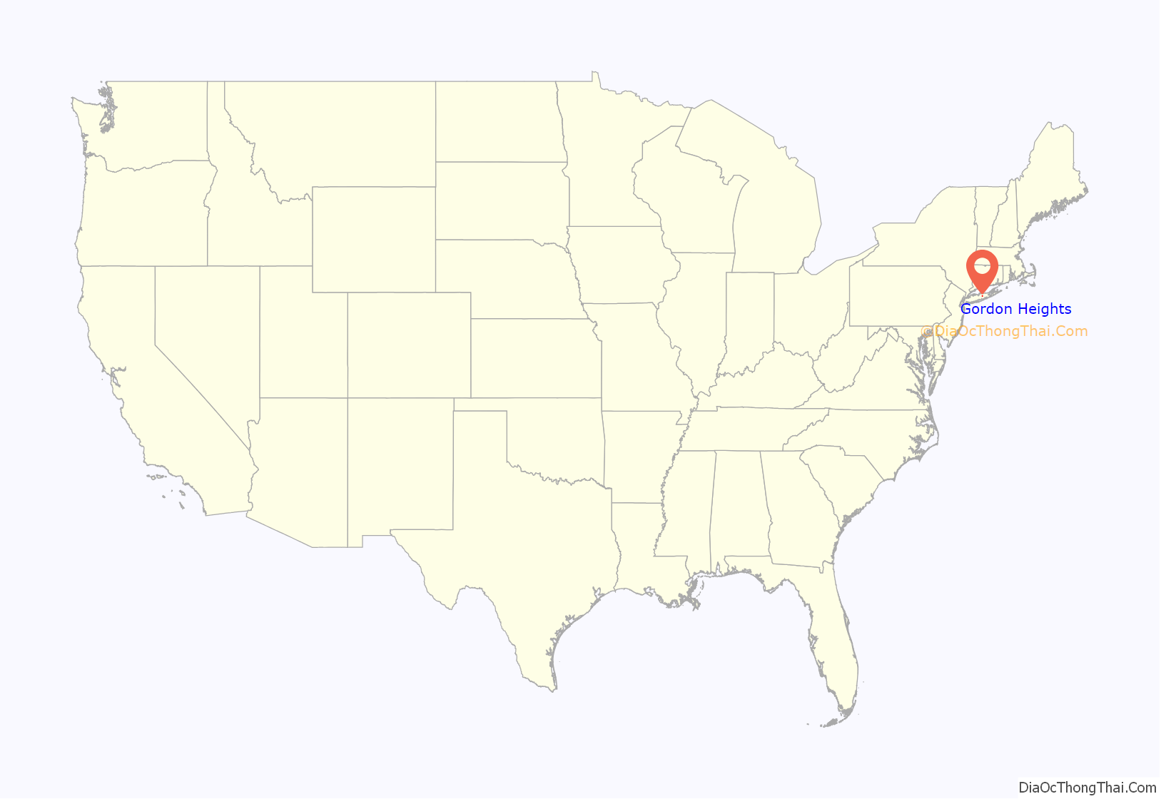
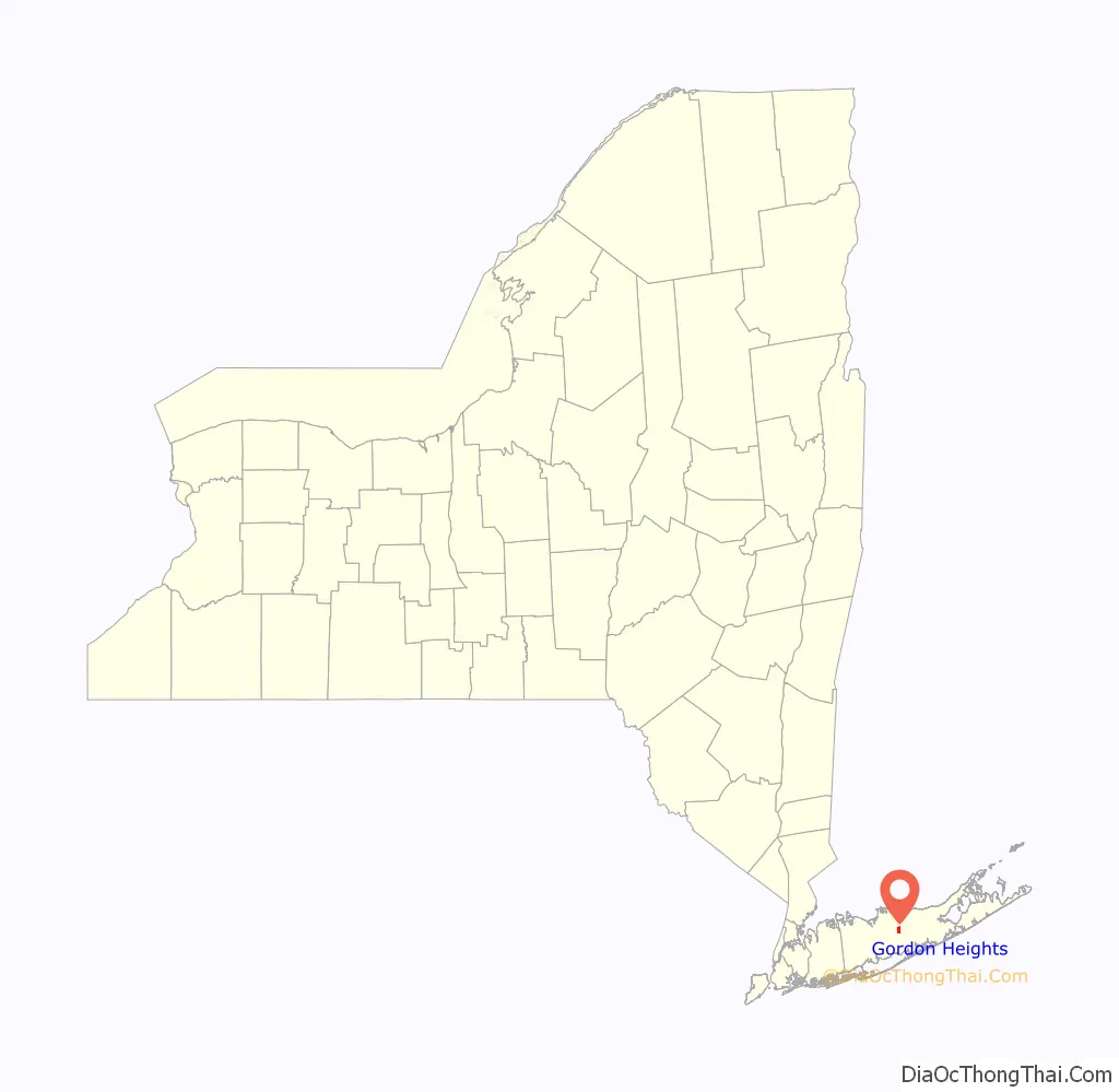
Gordon Heights location map. Where is Gordon Heights CDP?
History
Gordon Heights had its beginnings in the early 1920s, when developer Louis Fife went to Black neighborhoods in New York City (Harlem, Brooklyn, and The Bronx) with the offer of land and a better life on Long Island. Land was offered as low as $10 down and $10 monthly or $10 weekly.
Promoted as a place that would be a solid, close-knit community of small farms, the pilgrimage to Long Island began in 1927. Gordon Heights was named after “Pop” Gordon, a man who had previously owned most of the land that became part of the new community.
A civic association was formed to address the need of area residents. It would later become known as the Gordon Heights Progressive Association, which was founded in 1945. This group was the parent body of the Gordon Heights Fire Department.
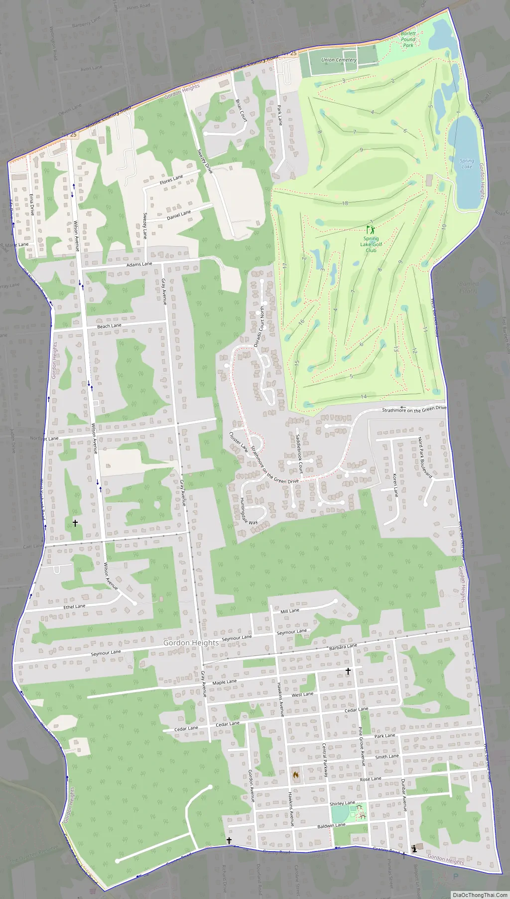
Gordon Heights Road Map
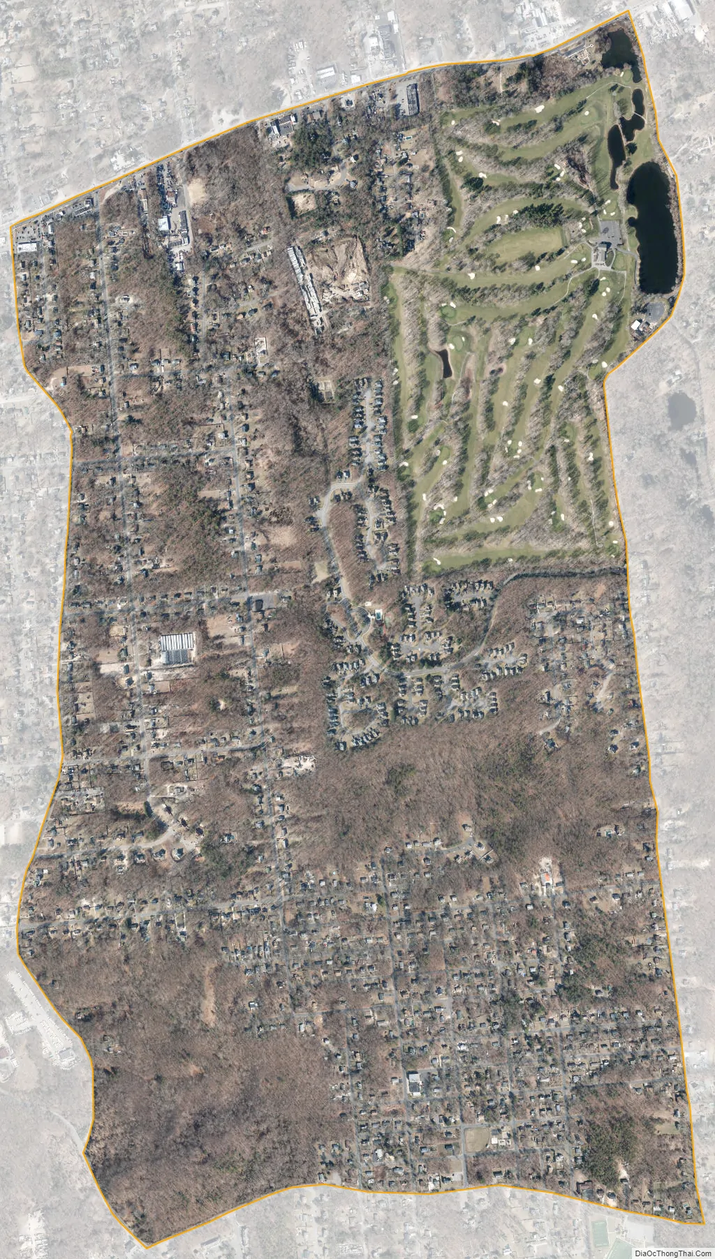
Gordon Heights city Satellite Map
Geography
According to the United States Census Bureau, the CDP has a total area of 1.7 square miles (4.5 km), of which 0.015 square miles (0.04 km), or 0.80%, is water.
See also
Map of New York State and its subdivision:- Albany
- Allegany
- Bronx
- Broome
- Cattaraugus
- Cayuga
- Chautauqua
- Chemung
- Chenango
- Clinton
- Columbia
- Cortland
- Delaware
- Dutchess
- Erie
- Essex
- Franklin
- Fulton
- Genesee
- Greene
- Hamilton
- Herkimer
- Jefferson
- Kings
- Lake Ontario
- Lewis
- Livingston
- Madison
- Monroe
- Montgomery
- Nassau
- New York
- Niagara
- Oneida
- Onondaga
- Ontario
- Orange
- Orleans
- Oswego
- Otsego
- Putnam
- Queens
- Rensselaer
- Richmond
- Rockland
- Saint Lawrence
- Saratoga
- Schenectady
- Schoharie
- Schuyler
- Seneca
- Steuben
- Suffolk
- Sullivan
- Tioga
- Tompkins
- Ulster
- Warren
- Washington
- Wayne
- Westchester
- Wyoming
- Yates
- Alabama
- Alaska
- Arizona
- Arkansas
- California
- Colorado
- Connecticut
- Delaware
- District of Columbia
- Florida
- Georgia
- Hawaii
- Idaho
- Illinois
- Indiana
- Iowa
- Kansas
- Kentucky
- Louisiana
- Maine
- Maryland
- Massachusetts
- Michigan
- Minnesota
- Mississippi
- Missouri
- Montana
- Nebraska
- Nevada
- New Hampshire
- New Jersey
- New Mexico
- New York
- North Carolina
- North Dakota
- Ohio
- Oklahoma
- Oregon
- Pennsylvania
- Rhode Island
- South Carolina
- South Dakota
- Tennessee
- Texas
- Utah
- Vermont
- Virginia
- Washington
- West Virginia
- Wisconsin
- Wyoming


