Great Neck Estates is a village on the Great Neck Peninsula in the Town of North Hempstead, in Nassau County, on the North Shore of Long Island, in New York, United States. The population was 2,761 at the 2010 census.
| Name: | Great Neck Estates village |
|---|---|
| LSAD Code: | 47 |
| LSAD Description: | village (suffix) |
| State: | New York |
| County: | Nassau County |
| Incorporated: | 1911 |
| Elevation: | 82 ft (25 m) |
| Total Area: | 0.80 sq mi (2.08 km²) |
| Land Area: | 0.77 sq mi (1.98 km²) |
| Water Area: | 0.04 sq mi (0.09 km²) |
| Total Population: | 2,990 |
| Population Density: | 3,903.39/sq mi (1,507.27/km²) |
| ZIP code: | 11021 |
| Area code: | 516 |
| FIPS code: | 3630191 |
| GNISfeature ID: | 0951638 |
| Website: | www.vgne.com |
Online Interactive Map
Click on ![]() to view map in "full screen" mode.
to view map in "full screen" mode.
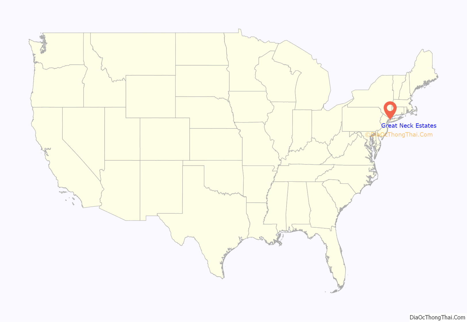
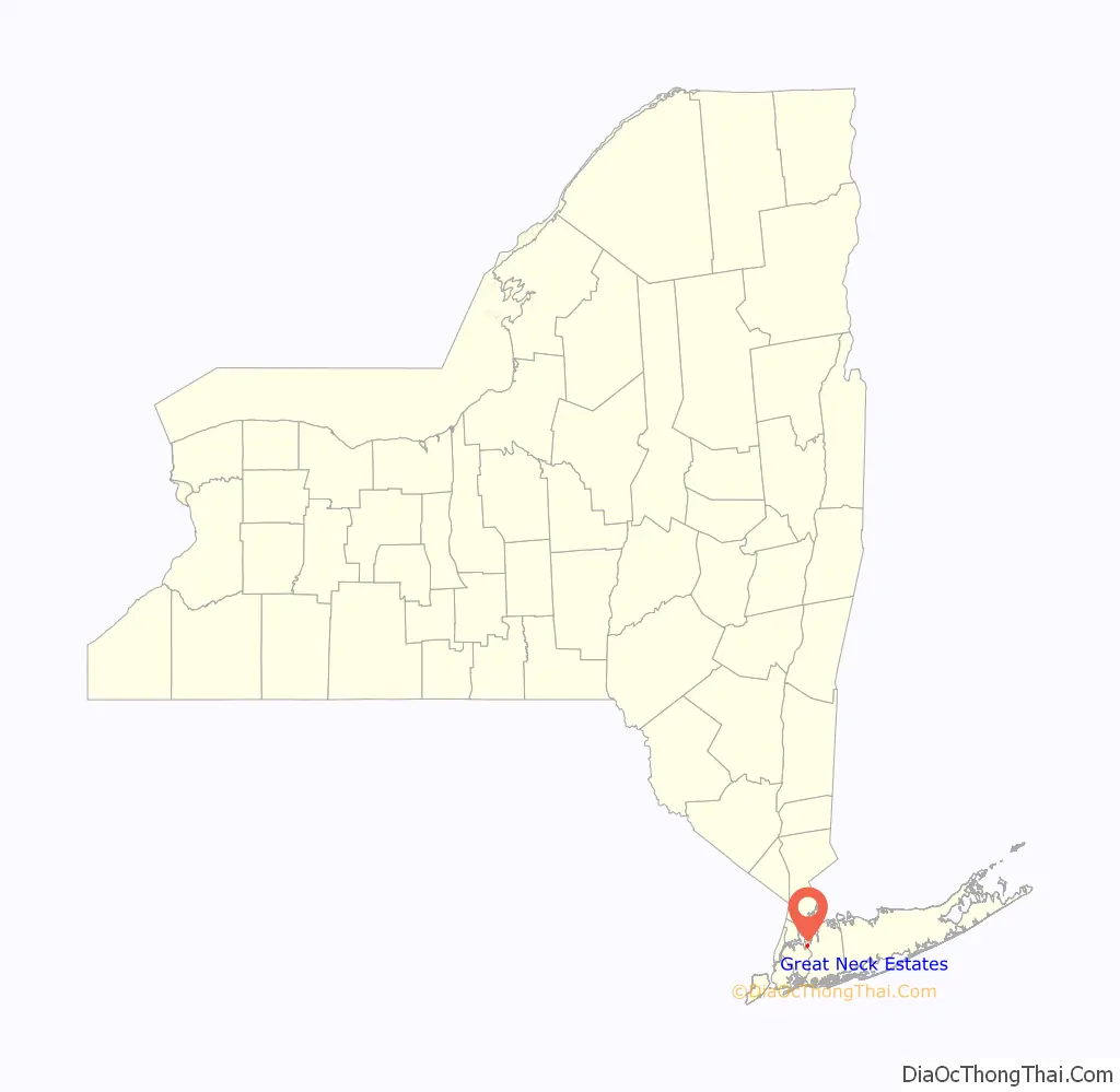
Great Neck Estates location map. Where is Great Neck Estates village?
History
Great Neck Estates incorporated in 1911, making it the second village to incorporate on the Great Neck Peninsula. Residents felt that the incorporation was imperative in order to maintain home rule. They also felt that by incorporating, they would be able to have services which they otherwise would not be able to have through the Town of North Hempstead.
A plaque was installed at Village Hall in 1981 to commemorate the 70th Anniversary of Great Neck Estates’ incorporation as a village.
In 1982, Great Neck Estates became the first village on Long Island to call for a nuclear freeze between the United States and the former Soviet Union after trustees approved of a petition started by three concerned residents on the Great Neck Peninsula. Copies of their document were delivered to the leaders of both nations as peace efforts.
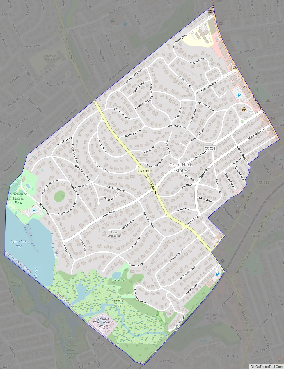
Great Neck Estates Road Map
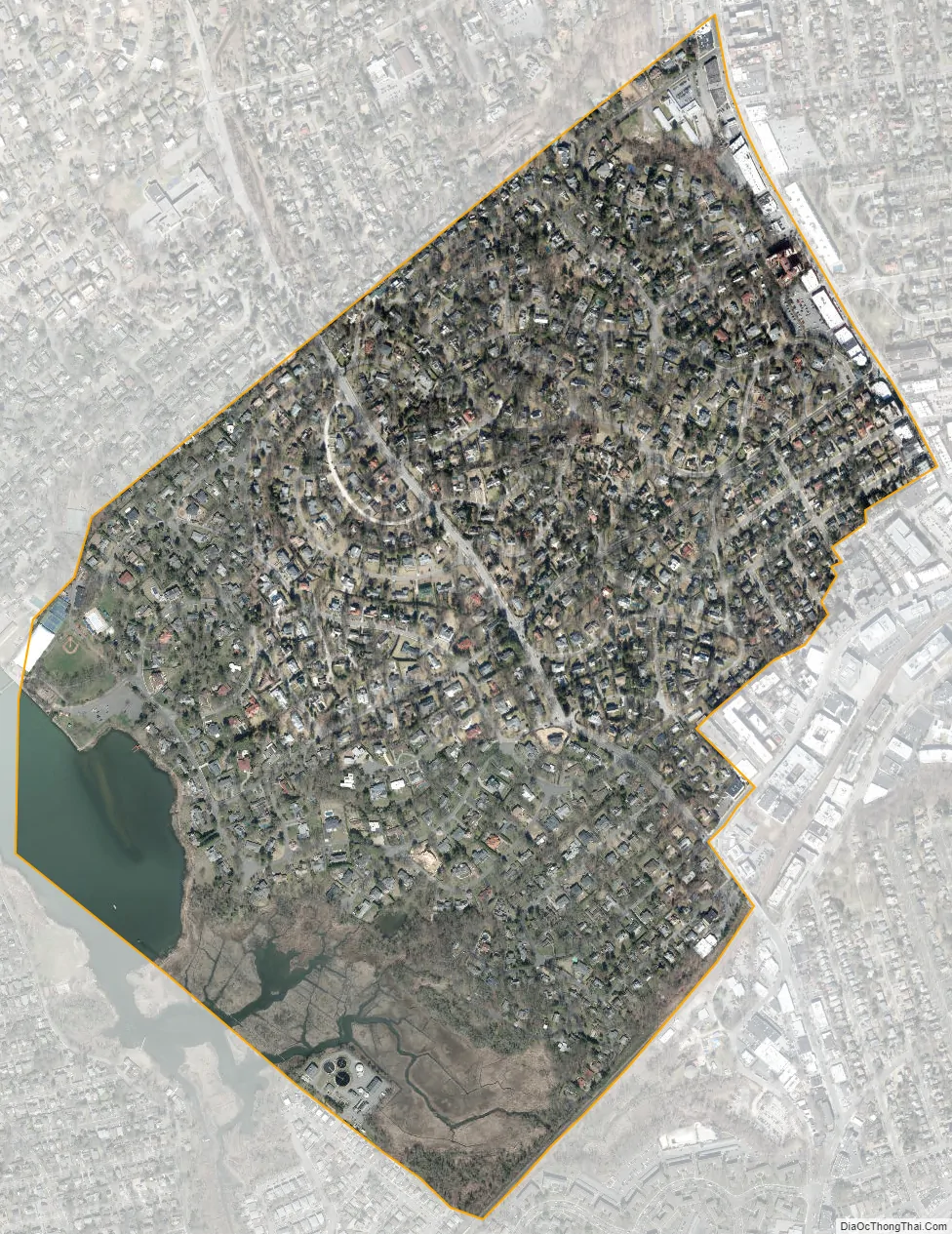
Great Neck Estates city Satellite Map
Geography
According to the United States Census Bureau, the village has a total area of 0.8 square miles (2.1 km), of which 0.8 square miles (2.1 km) is land and 0.04 square miles (0.10 km) (4.94%) is water.
See also
Map of New York State and its subdivision:- Albany
- Allegany
- Bronx
- Broome
- Cattaraugus
- Cayuga
- Chautauqua
- Chemung
- Chenango
- Clinton
- Columbia
- Cortland
- Delaware
- Dutchess
- Erie
- Essex
- Franklin
- Fulton
- Genesee
- Greene
- Hamilton
- Herkimer
- Jefferson
- Kings
- Lake Ontario
- Lewis
- Livingston
- Madison
- Monroe
- Montgomery
- Nassau
- New York
- Niagara
- Oneida
- Onondaga
- Ontario
- Orange
- Orleans
- Oswego
- Otsego
- Putnam
- Queens
- Rensselaer
- Richmond
- Rockland
- Saint Lawrence
- Saratoga
- Schenectady
- Schoharie
- Schuyler
- Seneca
- Steuben
- Suffolk
- Sullivan
- Tioga
- Tompkins
- Ulster
- Warren
- Washington
- Wayne
- Westchester
- Wyoming
- Yates
- Alabama
- Alaska
- Arizona
- Arkansas
- California
- Colorado
- Connecticut
- Delaware
- District of Columbia
- Florida
- Georgia
- Hawaii
- Idaho
- Illinois
- Indiana
- Iowa
- Kansas
- Kentucky
- Louisiana
- Maine
- Maryland
- Massachusetts
- Michigan
- Minnesota
- Mississippi
- Missouri
- Montana
- Nebraska
- Nevada
- New Hampshire
- New Jersey
- New Mexico
- New York
- North Carolina
- North Dakota
- Ohio
- Oklahoma
- Oregon
- Pennsylvania
- Rhode Island
- South Carolina
- South Dakota
- Tennessee
- Texas
- Utah
- Vermont
- Virginia
- Washington
- West Virginia
- Wisconsin
- Wyoming


