Great Neck Gardens (also known as Allenwood) is a hamlet and census-designated place (CDP) located on the Great Neck Peninsula in Nassau County, on the North Shore of Long Island, New York, United States. The population was 1,186 at the 2010 census. As an unincorporated hamlet, it is governed by the Town of North Hempstead.
The hamlet’s name is rarely used in part because of how the area was never incorporated.
| Name: | Great Neck Gardens CDP |
|---|---|
| LSAD Code: | 57 |
| LSAD Description: | CDP (suffix) |
| State: | New York |
| County: | Nassau County |
| Elevation: | 184 ft (56 m) |
| Total Area: | 0.18 sq mi (0.47 km²) |
| Land Area: | 0.18 sq mi (0.47 km²) |
| Water Area: | 0.00 sq mi (0.00 km²) |
| Total Population: | 1,268 |
| Population Density: | 7,044.44/sq mi (2,714.41/km²) |
| Area code: | 516 |
| FIPS code: | 3630202 |
| GNISfeature ID: | 1852900 |
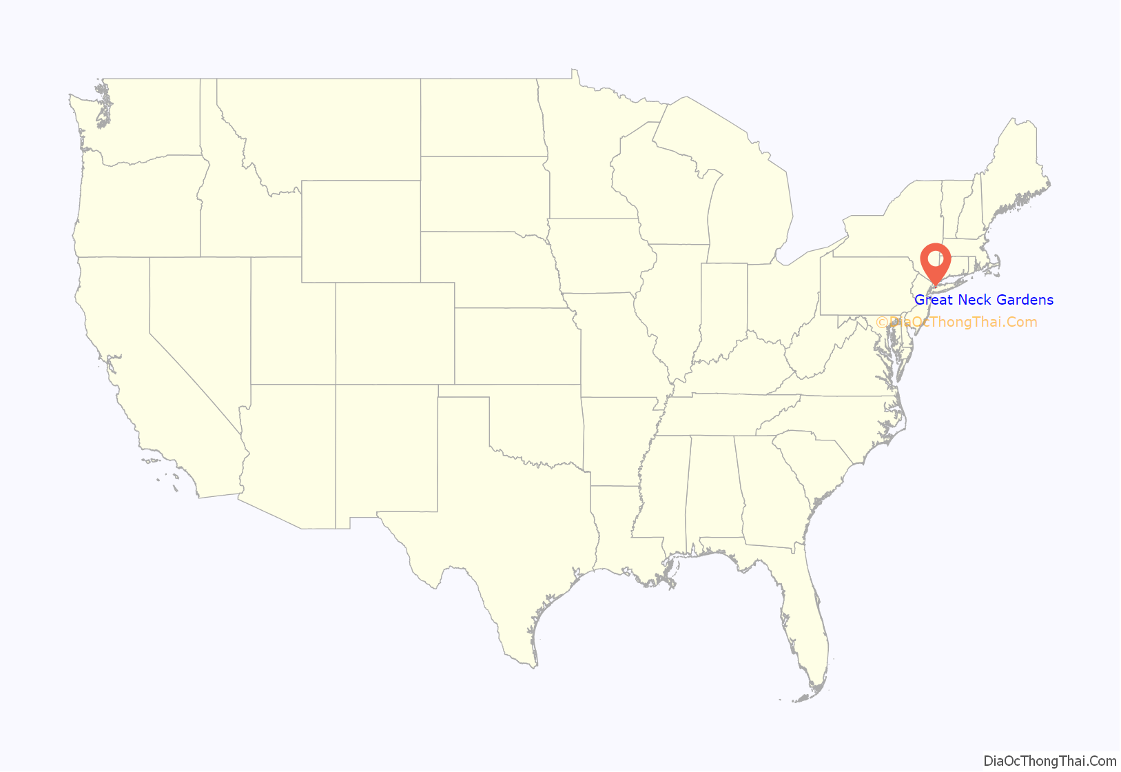
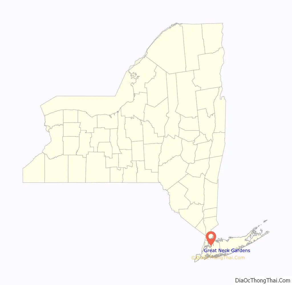
Online Interactive Map
Click on ![]() to view map in "full screen" mode.
to view map in "full screen" mode.
Great Neck Gardens location map. Where is Great Neck Gardens CDP?
History
The Great Neck Gardens CDP was first created for the 2000 United States Census.
Like the rest of the Great Neck Peninsula, this area was historically known as Madnan’s Neck.
The Allen family was one of the first European families to settle in the Great Neck area. They owned large portions of property (including farms) now located within modern-day Great Neck Gardens.
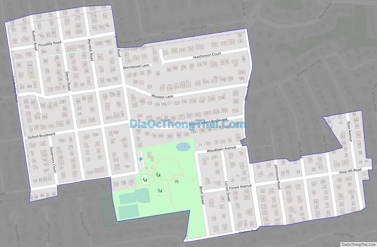
Great Neck Gardens Road Map
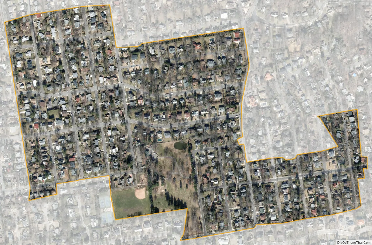
Great Neck Gardens city Satellite Map
Geography
According to the United States Census Bureau, the CDP has a total area of 0.2 square miles (0.52 km), all land.
See also
Map of New York State and its subdivision:- Albany
- Allegany
- Bronx
- Broome
- Cattaraugus
- Cayuga
- Chautauqua
- Chemung
- Chenango
- Clinton
- Columbia
- Cortland
- Delaware
- Dutchess
- Erie
- Essex
- Franklin
- Fulton
- Genesee
- Greene
- Hamilton
- Herkimer
- Jefferson
- Kings
- Lake Ontario
- Lewis
- Livingston
- Madison
- Monroe
- Montgomery
- Nassau
- New York
- Niagara
- Oneida
- Onondaga
- Ontario
- Orange
- Orleans
- Oswego
- Otsego
- Putnam
- Queens
- Rensselaer
- Richmond
- Rockland
- Saint Lawrence
- Saratoga
- Schenectady
- Schoharie
- Schuyler
- Seneca
- Steuben
- Suffolk
- Sullivan
- Tioga
- Tompkins
- Ulster
- Warren
- Washington
- Wayne
- Westchester
- Wyoming
- Yates
- Alabama
- Alaska
- Arizona
- Arkansas
- California
- Colorado
- Connecticut
- Delaware
- District of Columbia
- Florida
- Georgia
- Hawaii
- Idaho
- Illinois
- Indiana
- Iowa
- Kansas
- Kentucky
- Louisiana
- Maine
- Maryland
- Massachusetts
- Michigan
- Minnesota
- Mississippi
- Missouri
- Montana
- Nebraska
- Nevada
- New Hampshire
- New Jersey
- New Mexico
- New York
- North Carolina
- North Dakota
- Ohio
- Oklahoma
- Oregon
- Pennsylvania
- Rhode Island
- South Carolina
- South Dakota
- Tennessee
- Texas
- Utah
- Vermont
- Virginia
- Washington
- West Virginia
- Wisconsin
- Wyoming


