Great Neck Plaza is a village on the Great Neck Peninsula in the Town of North Hempstead, in Nassau County, on the North Shore of Long Island, in New York, United States. The population was 6,707 at the 2010 census.
| Name: | Great Neck Plaza village |
|---|---|
| LSAD Code: | 47 |
| LSAD Description: | village (suffix) |
| State: | New York |
| County: | Nassau County |
| Incorporated: | May 3, 1930 |
| Elevation: | 92 ft (28 m) |
| Total Area: | 0.31 sq mi (0.81 km²) |
| Land Area: | 0.31 sq mi (0.81 km²) |
| Water Area: | 0.00 sq mi (0.00 km²) |
| Total Population: | 7,482 |
| Population Density: | 24,057.88/sq mi (9,276.40/km²) |
| ZIP code: | 11021 |
| Area code: | 516 |
| FIPS code: | 3630213 |
| GNISfeature ID: | 0951642 |
| Website: | www.greatneckplaza.net |
Online Interactive Map
Click on ![]() to view map in "full screen" mode.
to view map in "full screen" mode.
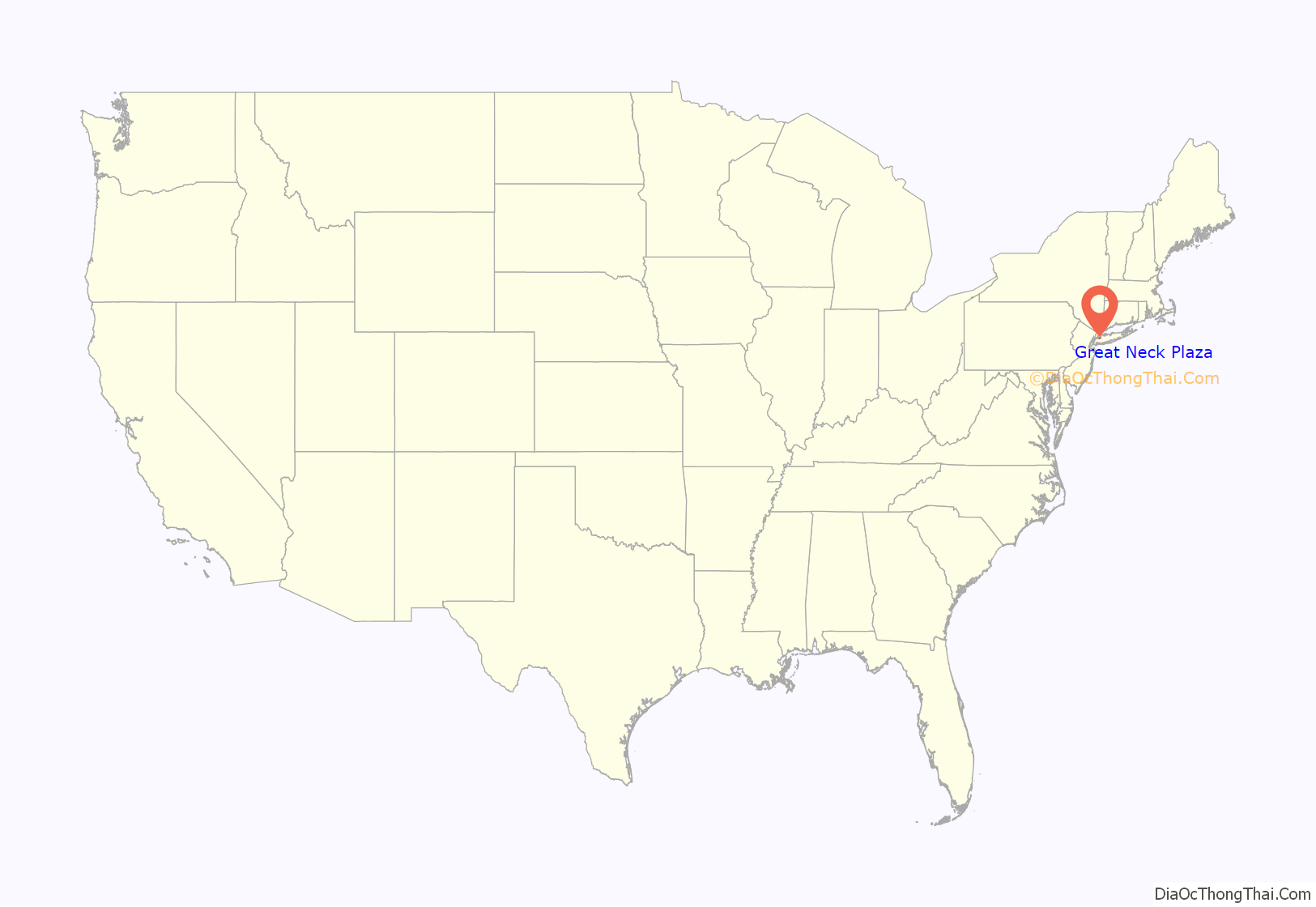
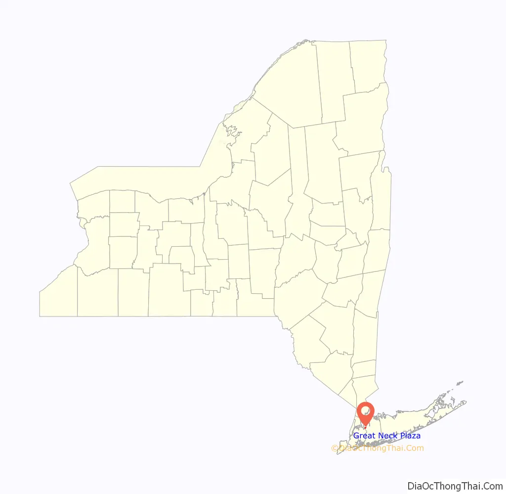
Great Neck Plaza location map. Where is Great Neck Plaza village?
History
The Village of Great Neck Plaza was incorporated on May 3, 1930.
In 1866, the New York and Flushing Railroad extended their main line into Great Neck through a subsidiary called the North Shore Railroad, thus transforming it from a farming community into a commuter town. The NY&F was consolidated into the Flushing and North Side Railroad in 1869, only to be merged into the Flushing, North Shore, and Central Railroad in 1874 and leased in 1876 by the LIRR. Throughout much of the late 19th century, Great Neck was the terminus of what is today the Port Washington Branch of the Long Island Rail Road. The village was incorporated in 1930, even as the station that led to its existence was being reconstructed. In addition to the railroad station, Great Neck Plaza contains other historic structures, such as the local post office and the Grace and Thomaston Buildings.
Great Neck Plaza encompasses a busy commercial district, two parks, as well as a residential section with many multiple dwellings and private homes. Although geographically the Village measures only one-third of a square mile, it boasts a vibrant downtown including the Great Neck LIRR station, over 250 retail stores and service establishments, almost 90 multiple-family apartment buildings, 148 single family homes, approximately 40 office buildings, two four-star hotels, a nursing home, a senior independent living facility, and one assisted-care living facility.
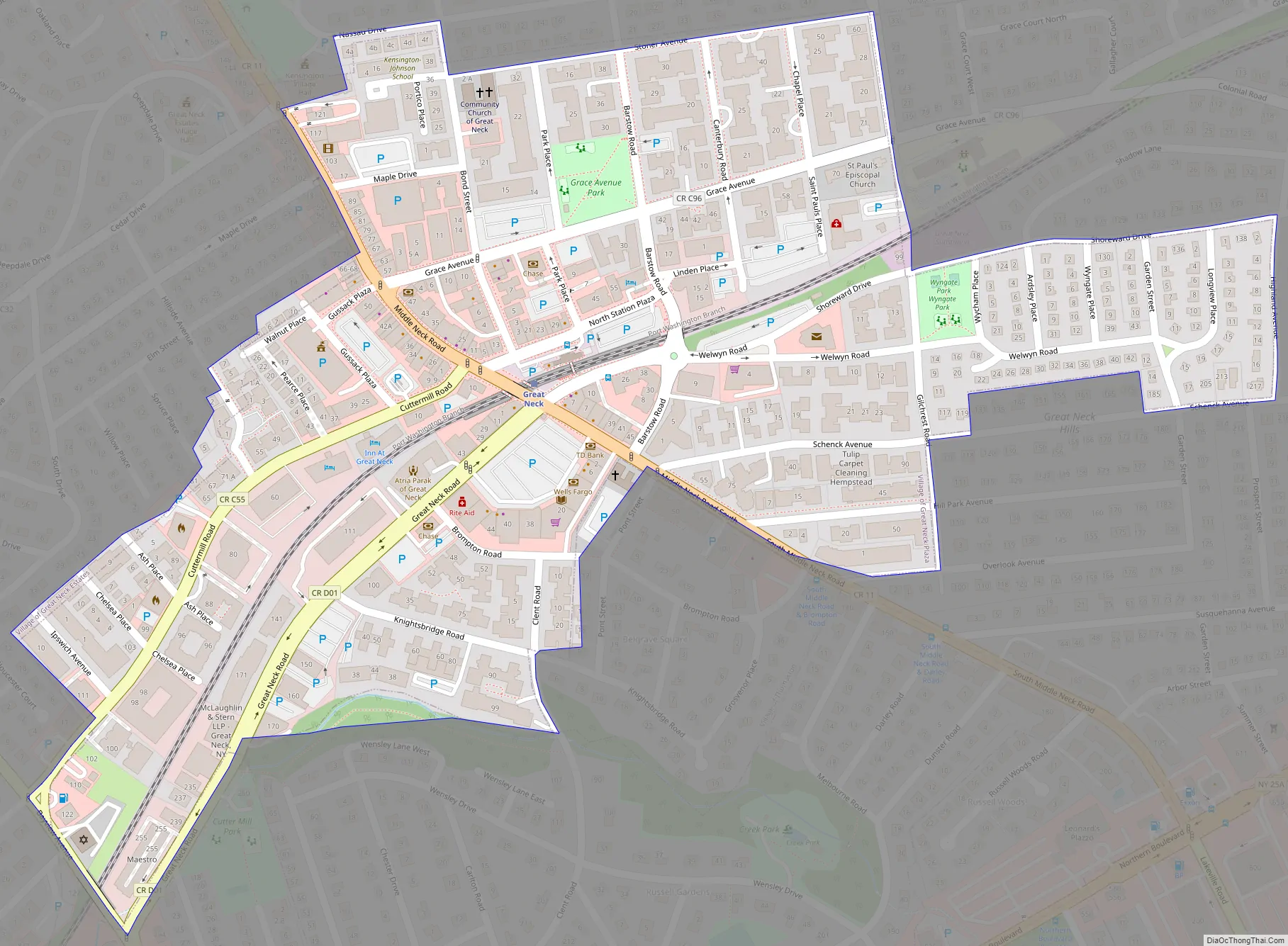
Great Neck Plaza Road Map
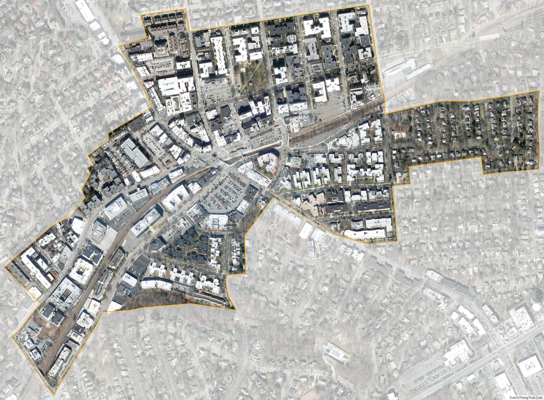
Great Neck Plaza city Satellite Map
Geography
According to the United States Census Bureau, the village has a total area of 0.3 square miles (0.78 km), all land.
See also
Map of New York State and its subdivision:- Albany
- Allegany
- Bronx
- Broome
- Cattaraugus
- Cayuga
- Chautauqua
- Chemung
- Chenango
- Clinton
- Columbia
- Cortland
- Delaware
- Dutchess
- Erie
- Essex
- Franklin
- Fulton
- Genesee
- Greene
- Hamilton
- Herkimer
- Jefferson
- Kings
- Lake Ontario
- Lewis
- Livingston
- Madison
- Monroe
- Montgomery
- Nassau
- New York
- Niagara
- Oneida
- Onondaga
- Ontario
- Orange
- Orleans
- Oswego
- Otsego
- Putnam
- Queens
- Rensselaer
- Richmond
- Rockland
- Saint Lawrence
- Saratoga
- Schenectady
- Schoharie
- Schuyler
- Seneca
- Steuben
- Suffolk
- Sullivan
- Tioga
- Tompkins
- Ulster
- Warren
- Washington
- Wayne
- Westchester
- Wyoming
- Yates
- Alabama
- Alaska
- Arizona
- Arkansas
- California
- Colorado
- Connecticut
- Delaware
- District of Columbia
- Florida
- Georgia
- Hawaii
- Idaho
- Illinois
- Indiana
- Iowa
- Kansas
- Kentucky
- Louisiana
- Maine
- Maryland
- Massachusetts
- Michigan
- Minnesota
- Mississippi
- Missouri
- Montana
- Nebraska
- Nevada
- New Hampshire
- New Jersey
- New Mexico
- New York
- North Carolina
- North Dakota
- Ohio
- Oklahoma
- Oregon
- Pennsylvania
- Rhode Island
- South Carolina
- South Dakota
- Tennessee
- Texas
- Utah
- Vermont
- Virginia
- Washington
- West Virginia
- Wisconsin
- Wyoming


