Greenlawn is a hamlet and census-designated place (CDP) in Suffolk County, New York, United States. Located on Long Island in the Town of Huntington, the population was 13,742 at the 2010 census. Students primarily attend the Harborfields Central School District.
| Name: | Greenlawn CDP |
|---|---|
| LSAD Code: | 57 |
| LSAD Description: | CDP (suffix) |
| State: | New York |
| County: | Suffolk County |
| Elevation: | 226 ft (69 m) |
| Total Area: | 3.83 sq mi (9.92 km²) |
| Land Area: | 3.83 sq mi (9.91 km²) |
| Water Area: | 0.00 sq mi (0.01 km²) |
| Total Population: | 13,661 |
| Population Density: | 3,570.57/sq mi (1,378.71/km²) |
| ZIP code: | 11740 |
| Area code: | 631 |
| FIPS code: | 3630543 |
| GNISfeature ID: | 0951752 |
Online Interactive Map
Click on ![]() to view map in "full screen" mode.
to view map in "full screen" mode.
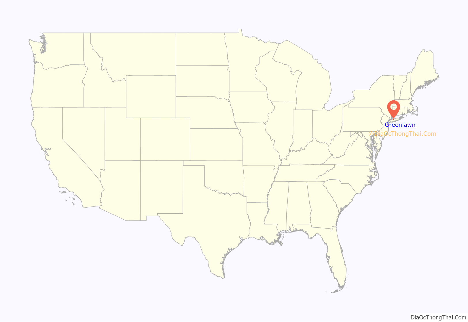
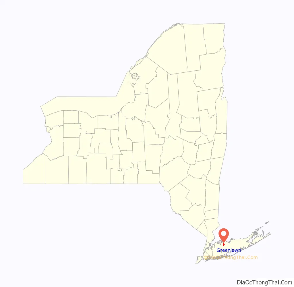
Greenlawn location map. Where is Greenlawn CDP?
History
Originally known as Old Fields, it became known by the name Greenlawn with the coming of the Long Island Rail Road in 1870 or 1871. The LIRR chose the name Greenlawn for its station, apparently to project an idyllic rural/suburban image and foster resort travel to the beaches in Centerport. Greenlawn was well known for its pickle production during the 19th century as well as, to a lesser degree, potato and cabbage farms; the principal commodity, pickles, is still celebrated by the annual Pickle Festival, held by the local Greenlawn-Centerport Historical Association at the John Gardiner Farm. The Gardiner family was the first to make a name for themselves as pickle farmers in the region but a former enslaved man, Samuel Ballton, earned the moniker “The Pickle King” for becoming a prolific pickle farmer in Greenlawn in the early 1900s.
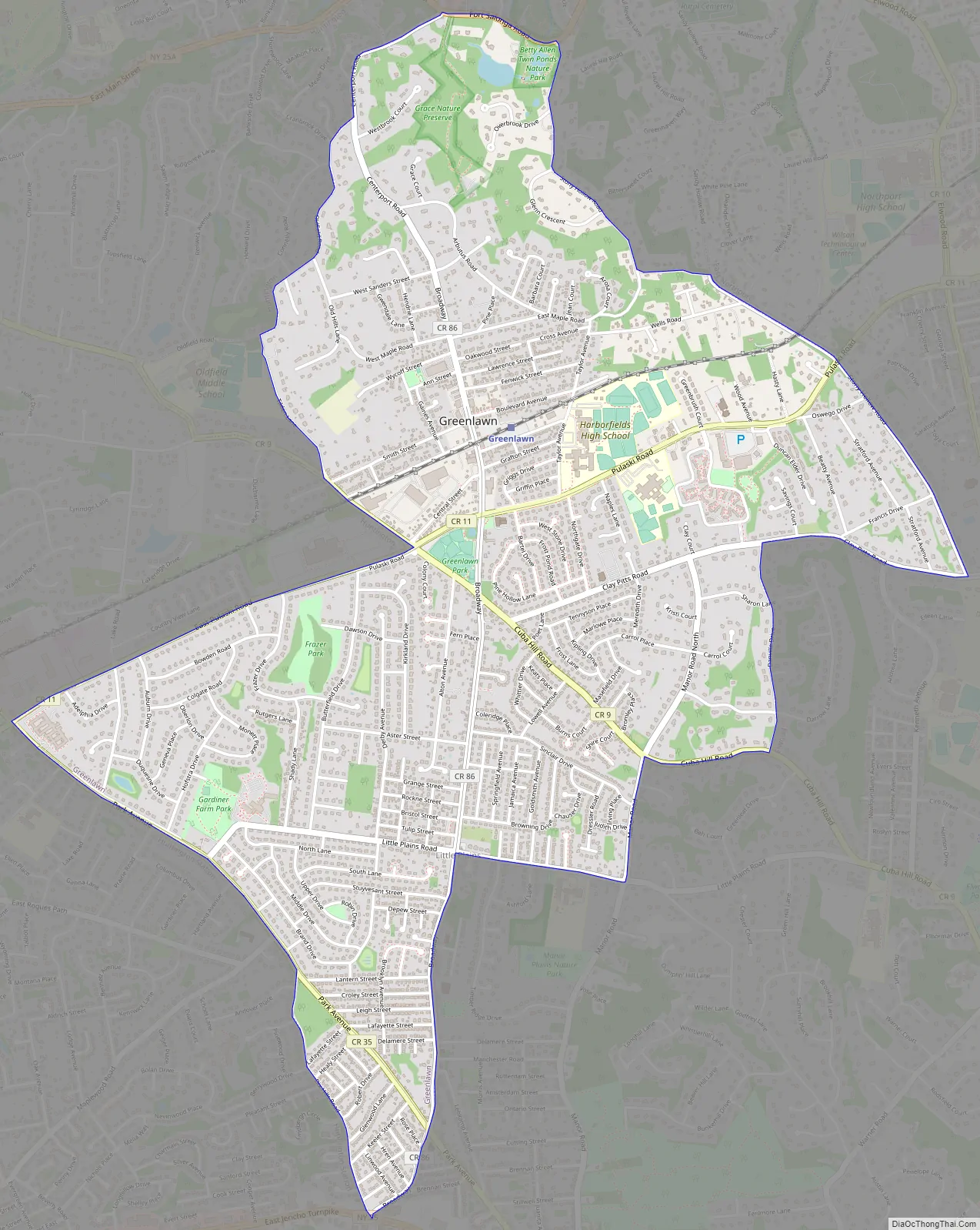
Greenlawn Road Map
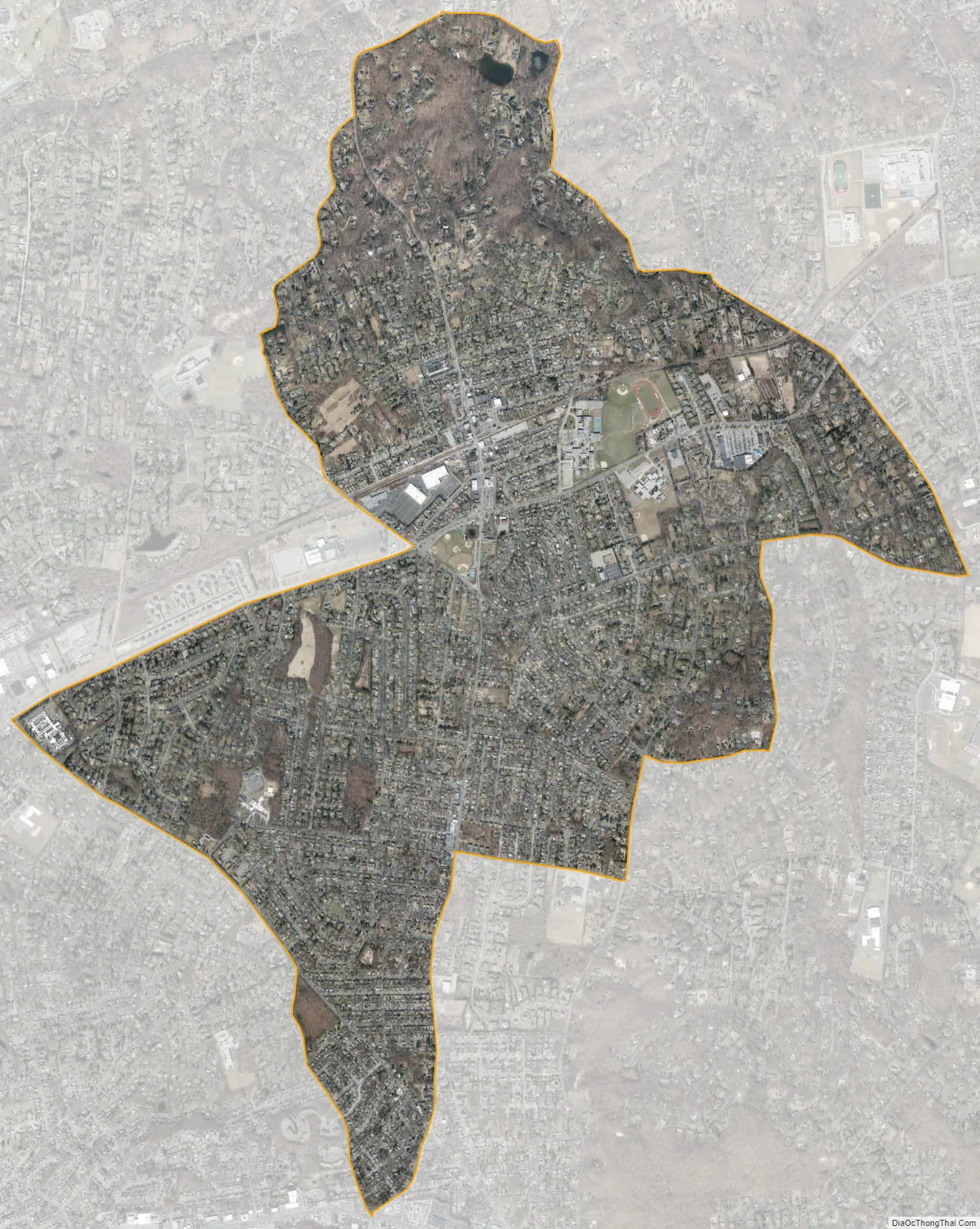
Greenlawn city Satellite Map
Geography
Greenlawn is located at 40°51′28″N 73°21′57″W / 40.85778°N 73.36583°W / 40.85778; -73.36583 (40.857648, -73.365932).
According to the United States Census Bureau, the census-designated place (CDP) has a total area of 3.7 square miles (9.6 km), all land.
See also
Map of New York State and its subdivision:- Albany
- Allegany
- Bronx
- Broome
- Cattaraugus
- Cayuga
- Chautauqua
- Chemung
- Chenango
- Clinton
- Columbia
- Cortland
- Delaware
- Dutchess
- Erie
- Essex
- Franklin
- Fulton
- Genesee
- Greene
- Hamilton
- Herkimer
- Jefferson
- Kings
- Lake Ontario
- Lewis
- Livingston
- Madison
- Monroe
- Montgomery
- Nassau
- New York
- Niagara
- Oneida
- Onondaga
- Ontario
- Orange
- Orleans
- Oswego
- Otsego
- Putnam
- Queens
- Rensselaer
- Richmond
- Rockland
- Saint Lawrence
- Saratoga
- Schenectady
- Schoharie
- Schuyler
- Seneca
- Steuben
- Suffolk
- Sullivan
- Tioga
- Tompkins
- Ulster
- Warren
- Washington
- Wayne
- Westchester
- Wyoming
- Yates
- Alabama
- Alaska
- Arizona
- Arkansas
- California
- Colorado
- Connecticut
- Delaware
- District of Columbia
- Florida
- Georgia
- Hawaii
- Idaho
- Illinois
- Indiana
- Iowa
- Kansas
- Kentucky
- Louisiana
- Maine
- Maryland
- Massachusetts
- Michigan
- Minnesota
- Mississippi
- Missouri
- Montana
- Nebraska
- Nevada
- New Hampshire
- New Jersey
- New Mexico
- New York
- North Carolina
- North Dakota
- Ohio
- Oklahoma
- Oregon
- Pennsylvania
- Rhode Island
- South Carolina
- South Dakota
- Tennessee
- Texas
- Utah
- Vermont
- Virginia
- Washington
- West Virginia
- Wisconsin
- Wyoming


