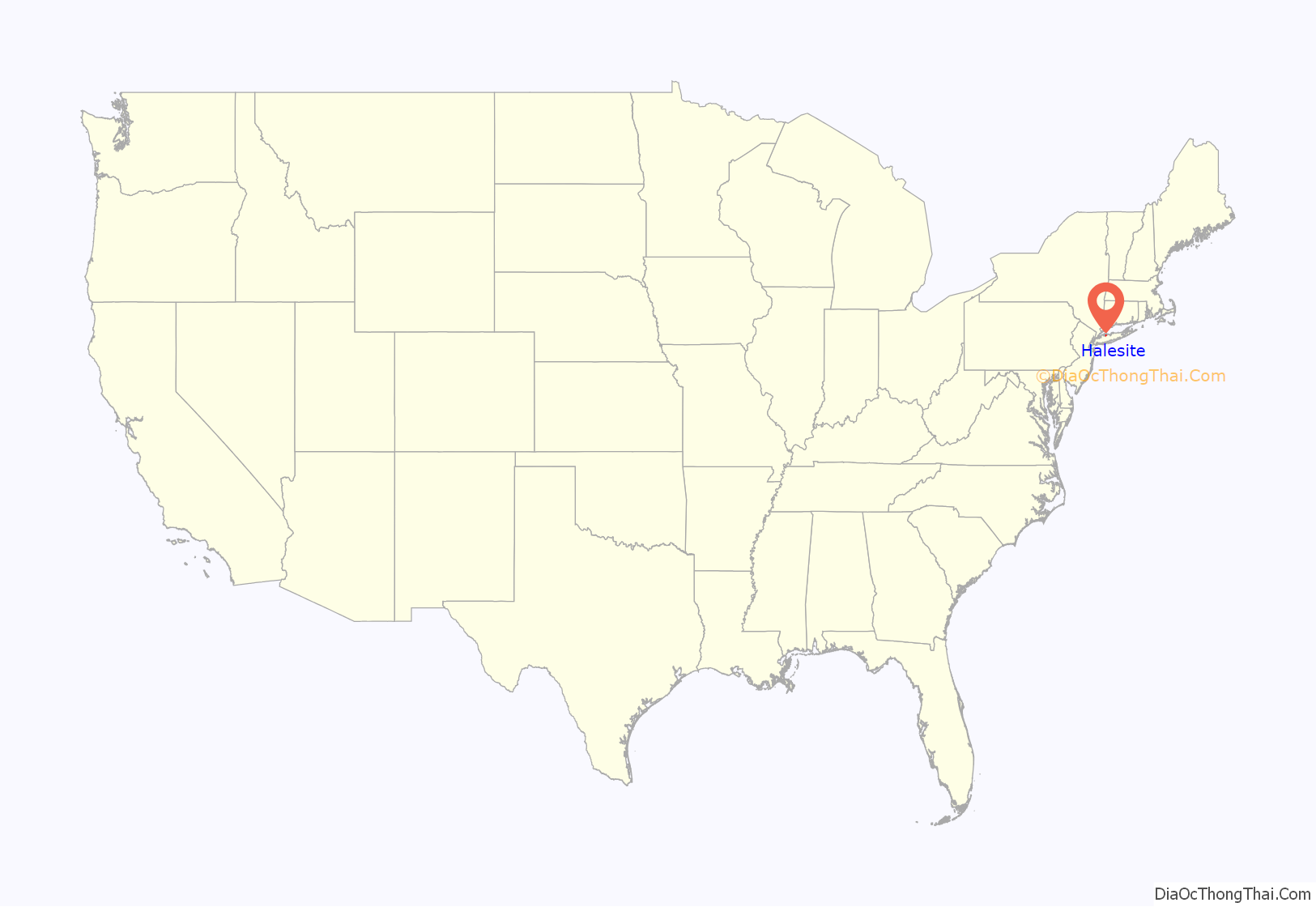
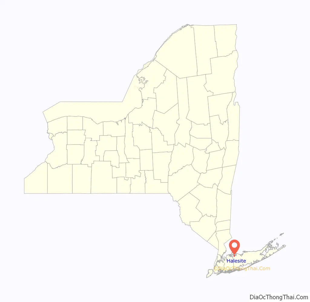
Halesite is a hamlet and census-designated place (CDP) in the Town of Huntington in Suffolk County, on the North Shore of Long Island, in New York, United States. The population was 2,498 at the 2010 census.
| Name: | Halesite CDP |
|---|---|
| LSAD Code: | 57 |
| LSAD Description: | CDP (suffix) |
| State: | New York |
| County: | Suffolk County |
| Elevation: | 26 ft (8 m) |
| Total Area: | 0.98 sq mi (2.55 km²) |
| Land Area: | 0.89 sq mi (2.31 km²) |
| Water Area: | 0.09 sq mi (0.24 km²) |
| Total Population: | 2,527 |
| Population Density: | 2,832.96/sq mi (1,094.40/km²) |
| ZIP code: | 11743 |
| FIPS code: | 3631445 |
| GNISfeature ID: | 0952018 |
Online Interactive Map
Click on ![]() to view map in "full screen" mode.
to view map in "full screen" mode.
Halesite location map. Where is Halesite CDP?
History
Halesite is named after Nathan Hale, a captain and spy in the Continental Army during the American Revolutionary War who arrived at Long Island at Huntington Harbor (at the site now named Halesite) just prior to his capture and execution. There is a rock with a tribute to him off the traffic circle at Mill Dam Road and New York Avenue.
From the mid-19th century until about the time of World War I, Halesite was served by a trolley line which brought passengers from Amityville through Downtown Huntington to the end of New York Avenue, at the northwest end of Halesite. Tourists were able to enjoy Halesite Park, which commands a view of Huntington Harbor.
Well-known persons who spent time or lived in Halesite include comedian/singer Fanny Brice, public servant and businessman George B. Cortelyou, and scientist Albert Einstein.
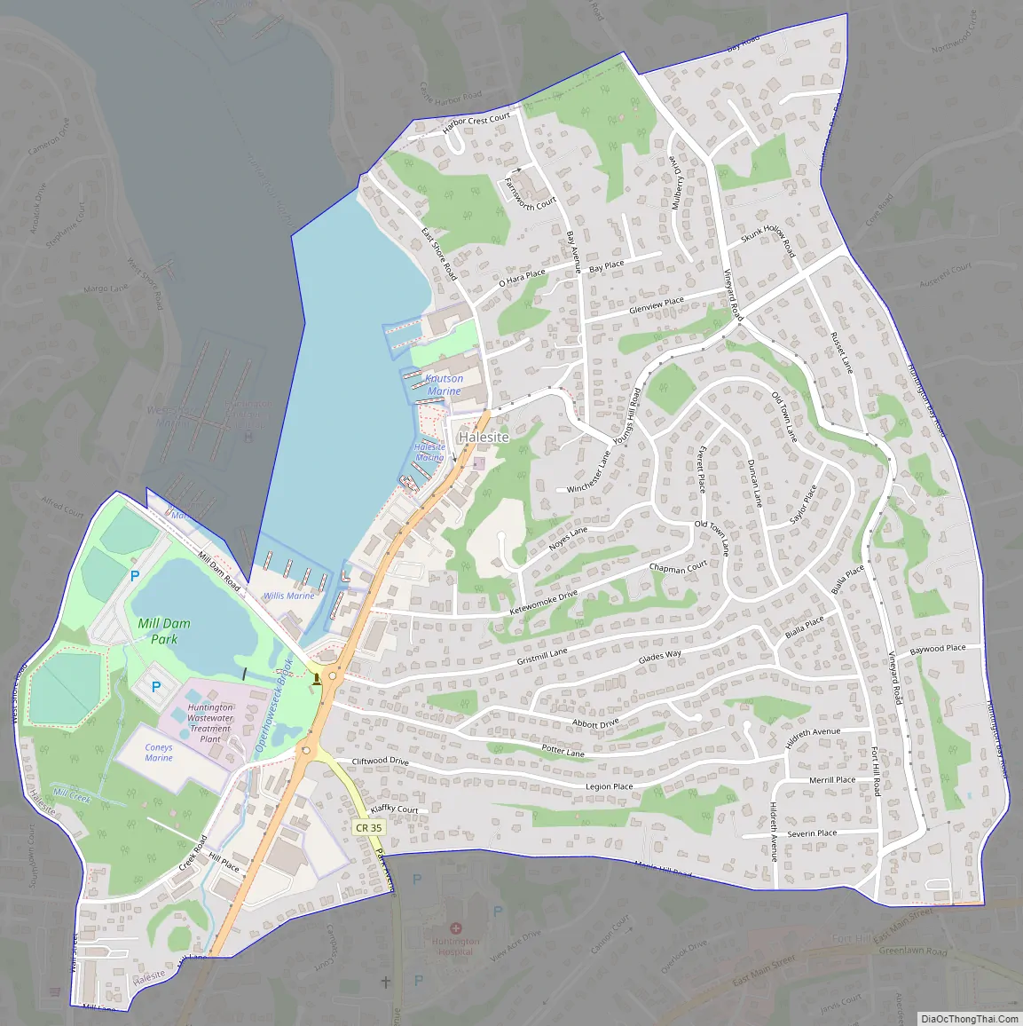
Halesite Road Map
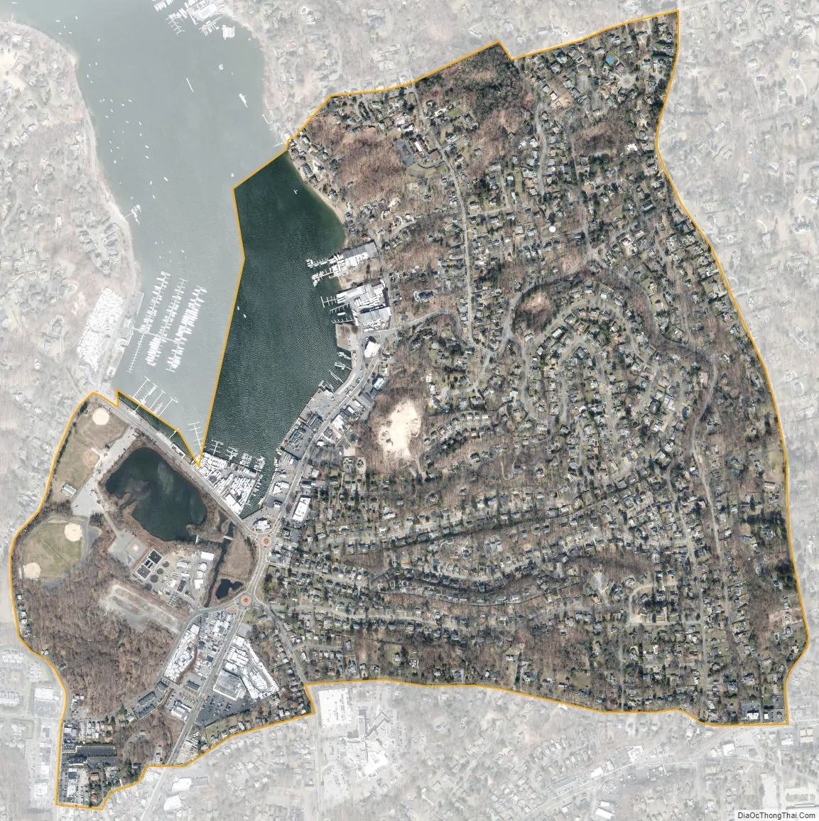
Halesite city Satellite Map
Geography
According to the United States Census Bureau, the CDP has a total area of 0.97 square miles (2.5 km), of which 0.89 square miles (2.3 km) is land and 0.077 square miles (0.2 km), or 9.41%, is water.
See also
Map of New York State and its subdivision:- Albany
- Allegany
- Bronx
- Broome
- Cattaraugus
- Cayuga
- Chautauqua
- Chemung
- Chenango
- Clinton
- Columbia
- Cortland
- Delaware
- Dutchess
- Erie
- Essex
- Franklin
- Fulton
- Genesee
- Greene
- Hamilton
- Herkimer
- Jefferson
- Kings
- Lake Ontario
- Lewis
- Livingston
- Madison
- Monroe
- Montgomery
- Nassau
- New York
- Niagara
- Oneida
- Onondaga
- Ontario
- Orange
- Orleans
- Oswego
- Otsego
- Putnam
- Queens
- Rensselaer
- Richmond
- Rockland
- Saint Lawrence
- Saratoga
- Schenectady
- Schoharie
- Schuyler
- Seneca
- Steuben
- Suffolk
- Sullivan
- Tioga
- Tompkins
- Ulster
- Warren
- Washington
- Wayne
- Westchester
- Wyoming
- Yates
- Alabama
- Alaska
- Arizona
- Arkansas
- California
- Colorado
- Connecticut
- Delaware
- District of Columbia
- Florida
- Georgia
- Hawaii
- Idaho
- Illinois
- Indiana
- Iowa
- Kansas
- Kentucky
- Louisiana
- Maine
- Maryland
- Massachusetts
- Michigan
- Minnesota
- Mississippi
- Missouri
- Montana
- Nebraska
- Nevada
- New Hampshire
- New Jersey
- New Mexico
- New York
- North Carolina
- North Dakota
- Ohio
- Oklahoma
- Oregon
- Pennsylvania
- Rhode Island
- South Carolina
- South Dakota
- Tennessee
- Texas
- Utah
- Vermont
- Virginia
- Washington
- West Virginia
- Wisconsin
- Wyoming


