Harbor Hills is a hamlet and census-designated place (CDP) located on the Great Neck Peninsula within the Town of North Hempstead in Nassau County, on the North Shore of Long Island, in New York, United States. The population was 575 at the 2010 census.
| Name: | Harbor Hills CDP |
|---|---|
| LSAD Code: | 57 |
| LSAD Description: | CDP (suffix) |
| State: | New York |
| County: | Nassau County |
| Elevation: | 72 ft (22 m) |
| Total Area: | 0.18 sq mi (0.46 km²) |
| Land Area: | 0.12 sq mi (0.31 km²) |
| Water Area: | 0.06 sq mi (0.15 km²) |
| Total Population: | 562 |
| Population Density: | 4,722.69/sq mi (1,817.82/km²) |
| ZIP code: | 11023 |
| Area code: | 516 |
| FIPS code: | 3632094 |
| GNISfeature ID: | 0952189 |
Online Interactive Map
Click on ![]() to view map in "full screen" mode.
to view map in "full screen" mode.
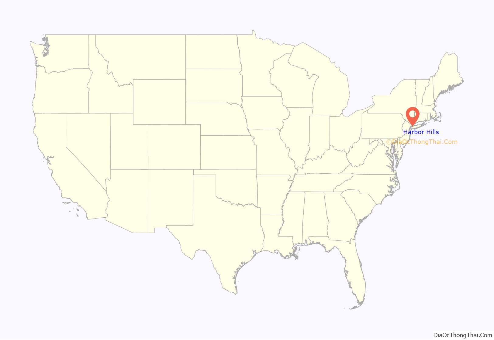
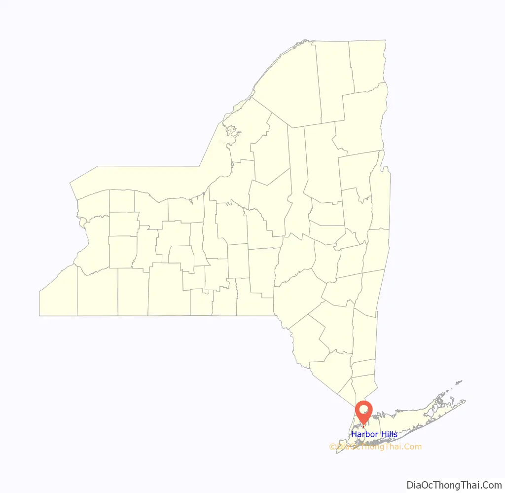
Harbor Hills location map. Where is Harbor Hills CDP?
History
In 1956, the Town of North Hempstead approved the construction of the community’s swimming pool and its bathhouses, and approved of the creation of the Harbor Hills Park District, which was created specifically for the community’s new park complex project. The contract was awarded to Great Neck-based Schumacher & Forelle, which bid $169,500 (1956 USD) for the pool’s construction, and promised to do the work in 110 days. The project was paid for by the hamlet’s roughly 175 residents.
The community’s pool would be reconstructed between 1986 and 1989, and again was paid for by the hamlet’s residents. This controversial project led to a lawsuit filed by residents over the payments and unexpected rises in taxes, which the Harbor Hills Civic Association charged were due to North Hempstead overpaying, expanding the project, and failing to properly communicate with or notify the locals.
The Harbor Hills CDP was first created for the 2000 United States Census.
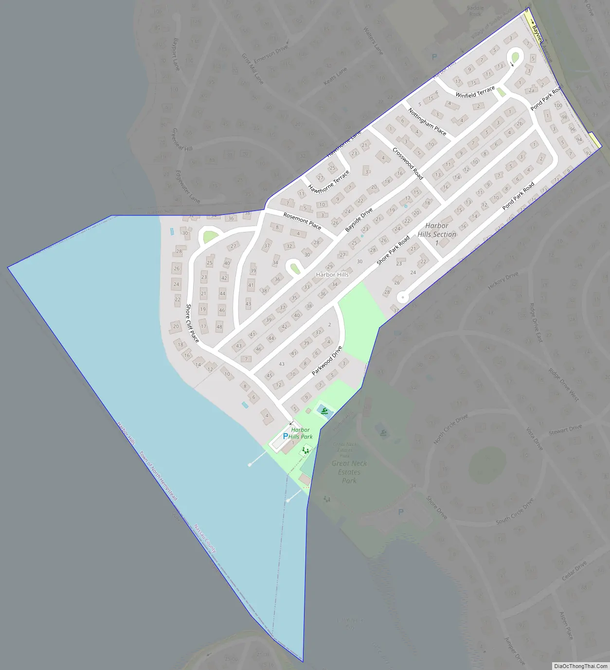
Harbor Hills Road Map
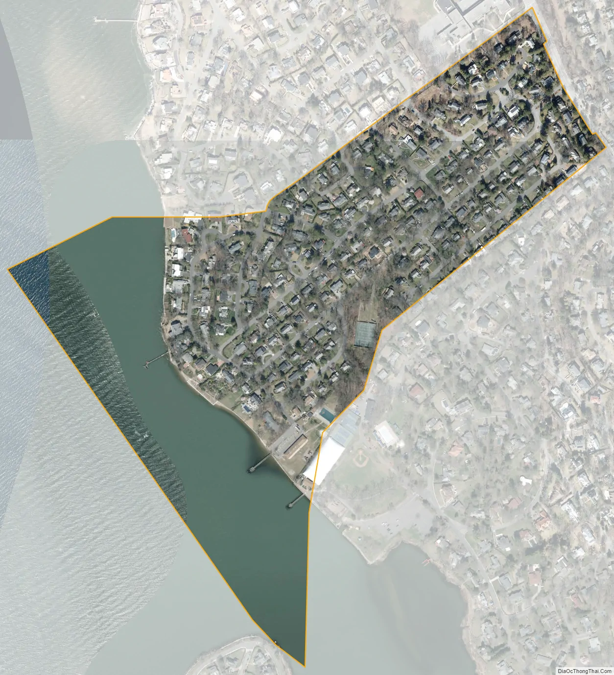
Harbor Hills city Satellite Map
Geography
According to the United States Census Bureau, the CDP has a total area of 0.2 square miles (0.52 km), of which 0.1 square miles (0.26 km) is land and 0.1 square miles (0.26 km) (35.29%) is water.
See also
Map of New York State and its subdivision:- Albany
- Allegany
- Bronx
- Broome
- Cattaraugus
- Cayuga
- Chautauqua
- Chemung
- Chenango
- Clinton
- Columbia
- Cortland
- Delaware
- Dutchess
- Erie
- Essex
- Franklin
- Fulton
- Genesee
- Greene
- Hamilton
- Herkimer
- Jefferson
- Kings
- Lake Ontario
- Lewis
- Livingston
- Madison
- Monroe
- Montgomery
- Nassau
- New York
- Niagara
- Oneida
- Onondaga
- Ontario
- Orange
- Orleans
- Oswego
- Otsego
- Putnam
- Queens
- Rensselaer
- Richmond
- Rockland
- Saint Lawrence
- Saratoga
- Schenectady
- Schoharie
- Schuyler
- Seneca
- Steuben
- Suffolk
- Sullivan
- Tioga
- Tompkins
- Ulster
- Warren
- Washington
- Wayne
- Westchester
- Wyoming
- Yates
- Alabama
- Alaska
- Arizona
- Arkansas
- California
- Colorado
- Connecticut
- Delaware
- District of Columbia
- Florida
- Georgia
- Hawaii
- Idaho
- Illinois
- Indiana
- Iowa
- Kansas
- Kentucky
- Louisiana
- Maine
- Maryland
- Massachusetts
- Michigan
- Minnesota
- Mississippi
- Missouri
- Montana
- Nebraska
- Nevada
- New Hampshire
- New Jersey
- New Mexico
- New York
- North Carolina
- North Dakota
- Ohio
- Oklahoma
- Oregon
- Pennsylvania
- Rhode Island
- South Carolina
- South Dakota
- Tennessee
- Texas
- Utah
- Vermont
- Virginia
- Washington
- West Virginia
- Wisconsin
- Wyoming


