Harbor Isle is a hamlet and census-designated place (CDP) in the Town of Hempstead in Nassau County, New York, United States. The population was 1,301 at the 2010 census.
| Name: | Harbor Isle CDP |
|---|---|
| LSAD Code: | 57 |
| LSAD Description: | CDP (suffix) |
| State: | New York |
| County: | Nassau County |
| Elevation: | 0 ft (0 m) |
| Total Area: | 0.23 sq mi (0.59 km²) |
| Land Area: | 0.17 sq mi (0.45 km²) |
| Water Area: | 0.05 sq mi (0.14 km²) |
| Total Population: | 1,436 |
| Population Density: | 8,252.87/sq mi (3,179.18/km²) |
| ZIP code: | 11558 |
| Area code: | 516 |
| FIPS code: | 3632105 |
| GNISfeature ID: | 0952192 |
Online Interactive Map
Click on ![]() to view map in "full screen" mode.
to view map in "full screen" mode.
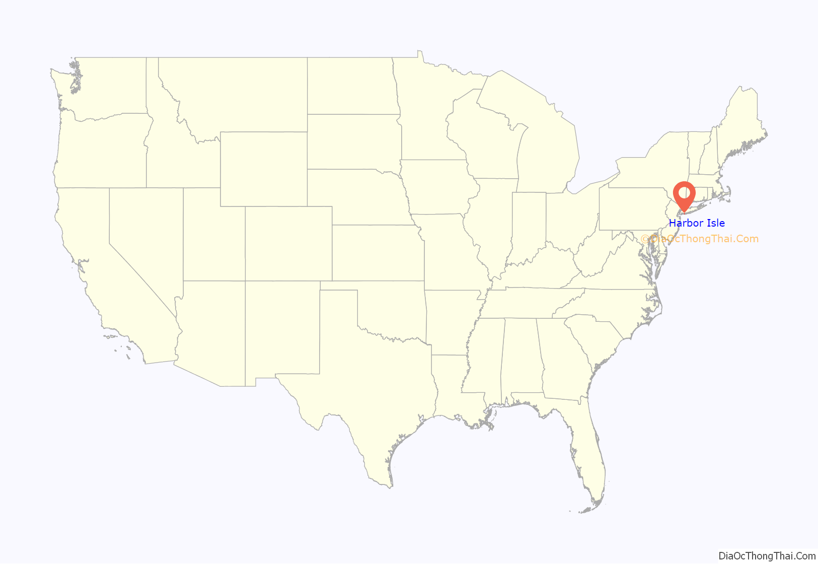
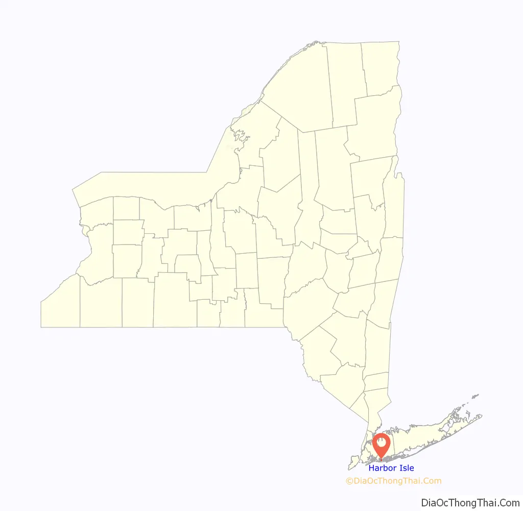
Harbor Isle location map. Where is Harbor Isle CDP?
History
In the 1950s, a proposal was made for Harbor Isle to be annexed by the adjacent village, Island Park. The proposal ultimately was defeated, and Harbor Isle remains an unincorporated hamlet to this day.
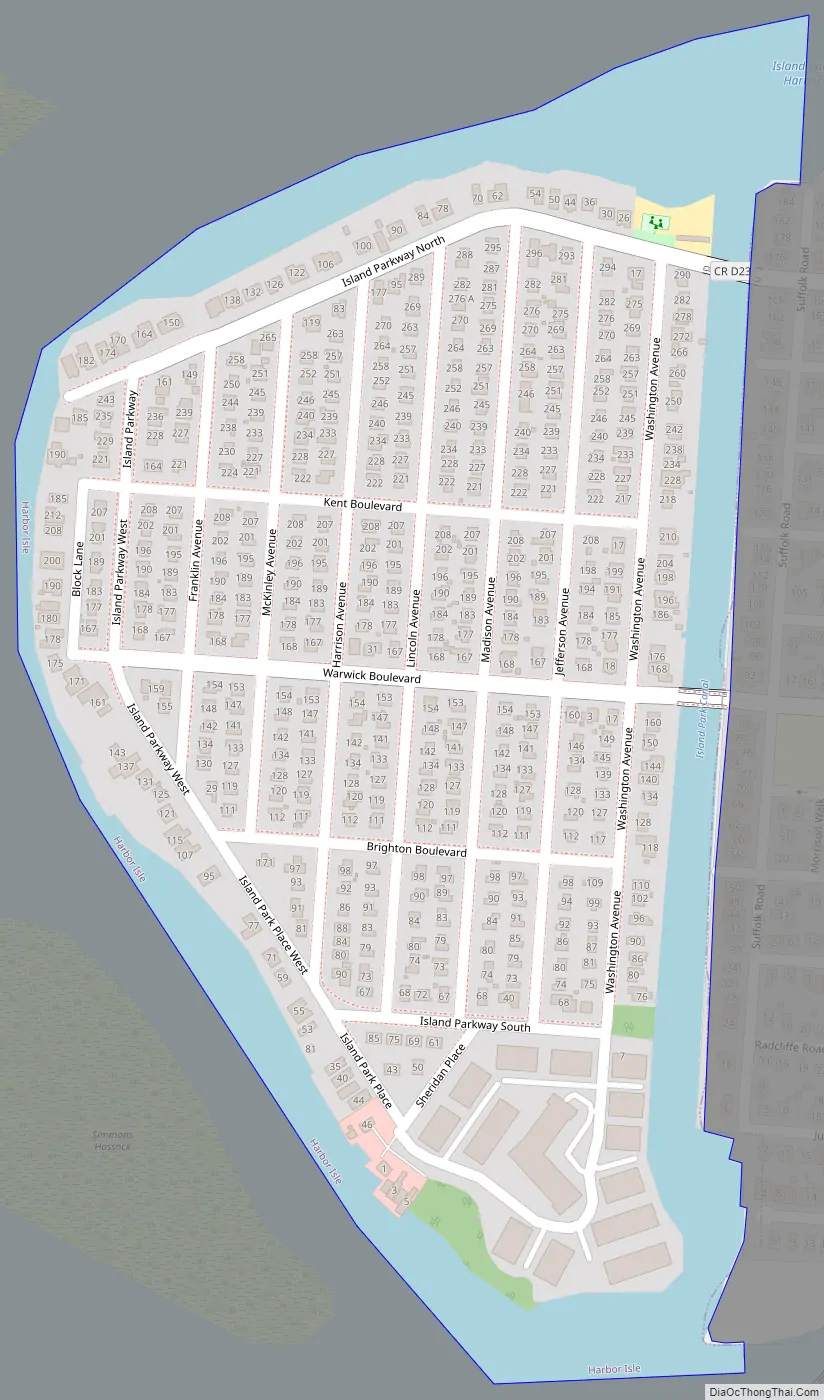
Harbor Isle Road Map
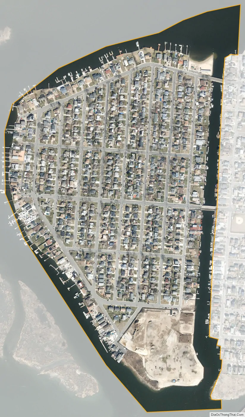
Harbor Isle city Satellite Map
Geography
According to the United States Census Bureau, the CDP has a total area of 0.2 square miles (0.52 km), of which 0.2 square miles (0.52 km) is land and 0.1 square miles (0.26 km) (21.74%) is water.
Harbor Isle is bordered by the Village of Island Park to the east, Hog Island Channel to the west and north, and Wreck Lead Channel to the south.
See also
Map of New York State and its subdivision:- Albany
- Allegany
- Bronx
- Broome
- Cattaraugus
- Cayuga
- Chautauqua
- Chemung
- Chenango
- Clinton
- Columbia
- Cortland
- Delaware
- Dutchess
- Erie
- Essex
- Franklin
- Fulton
- Genesee
- Greene
- Hamilton
- Herkimer
- Jefferson
- Kings
- Lake Ontario
- Lewis
- Livingston
- Madison
- Monroe
- Montgomery
- Nassau
- New York
- Niagara
- Oneida
- Onondaga
- Ontario
- Orange
- Orleans
- Oswego
- Otsego
- Putnam
- Queens
- Rensselaer
- Richmond
- Rockland
- Saint Lawrence
- Saratoga
- Schenectady
- Schoharie
- Schuyler
- Seneca
- Steuben
- Suffolk
- Sullivan
- Tioga
- Tompkins
- Ulster
- Warren
- Washington
- Wayne
- Westchester
- Wyoming
- Yates
- Alabama
- Alaska
- Arizona
- Arkansas
- California
- Colorado
- Connecticut
- Delaware
- District of Columbia
- Florida
- Georgia
- Hawaii
- Idaho
- Illinois
- Indiana
- Iowa
- Kansas
- Kentucky
- Louisiana
- Maine
- Maryland
- Massachusetts
- Michigan
- Minnesota
- Mississippi
- Missouri
- Montana
- Nebraska
- Nevada
- New Hampshire
- New Jersey
- New Mexico
- New York
- North Carolina
- North Dakota
- Ohio
- Oklahoma
- Oregon
- Pennsylvania
- Rhode Island
- South Carolina
- South Dakota
- Tennessee
- Texas
- Utah
- Vermont
- Virginia
- Washington
- West Virginia
- Wisconsin
- Wyoming


