Hauppauge (/ˈhɔːpɒɡ/ HOP-og) is a hamlet and census-designated place (CDP) in the towns of Islip and Smithtown in Suffolk County, New York on Long Island. The population was 20,882 at the time of the 2010 census.
| Name: | Hauppauge CDP |
|---|---|
| LSAD Code: | 57 |
| LSAD Description: | CDP (suffix) |
| State: | New York |
| County: | Suffolk County |
| Elevation: | 62 ft (19 m) |
| Total Area: | 10.29 sq mi (26.66 km²) |
| Land Area: | 10.21 sq mi (26.43 km²) |
| Water Area: | 0.09 sq mi (0.23 km²) |
| Total Population: | 20,083 |
| Population Density: | 1,967.76/sq mi (759.75/km²) |
| ZIP code: | 11749, 11760, 11788 |
| Area code: | 631, 934 |
| FIPS code: | 3632732 |
| GNISfeature ID: | 0952381 |
Online Interactive Map
Click on ![]() to view map in "full screen" mode.
to view map in "full screen" mode.
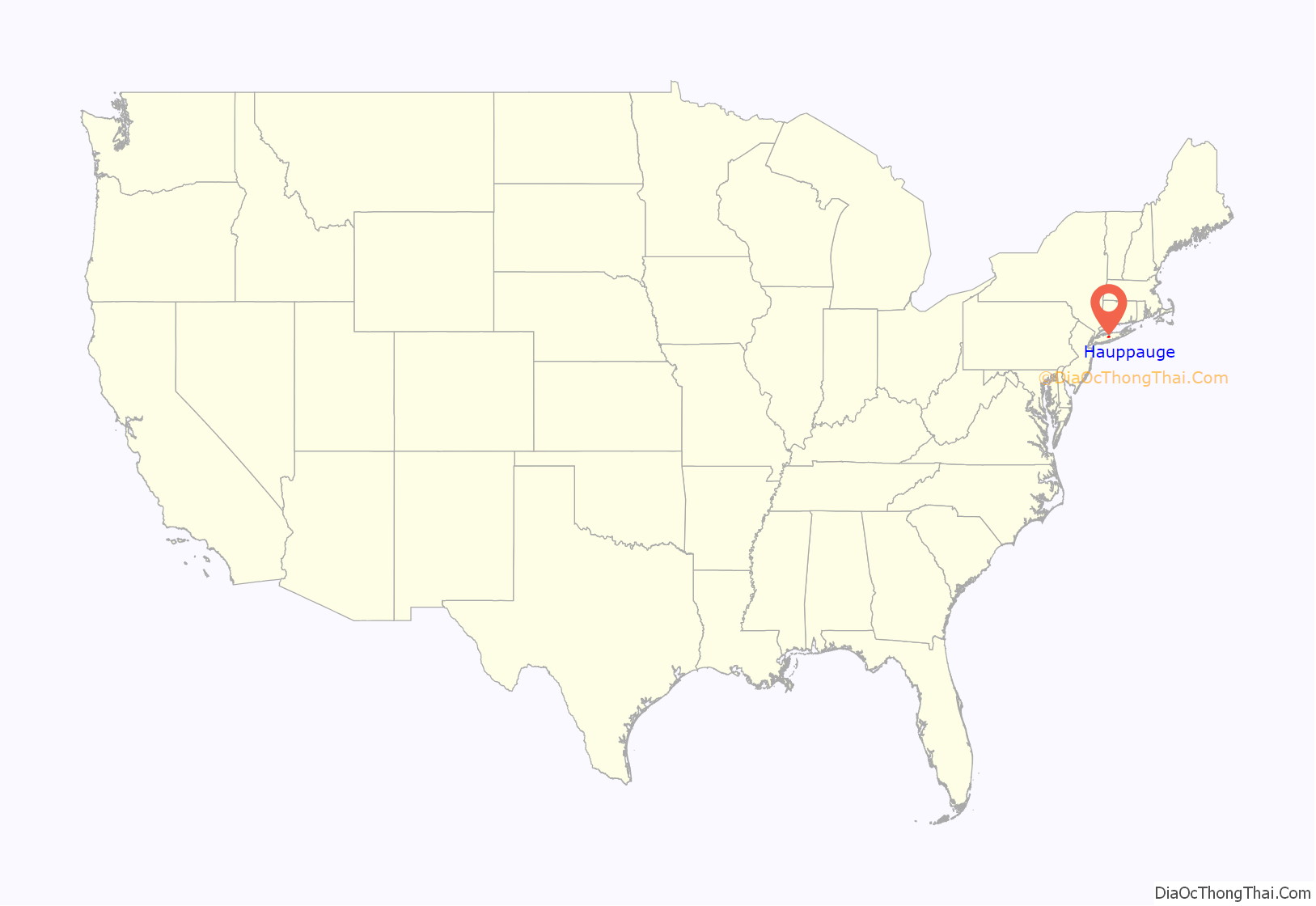
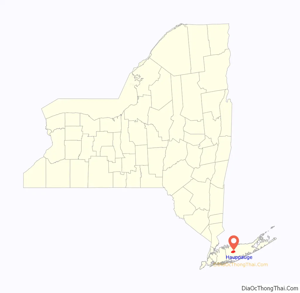
Hauppauge location map. Where is Hauppauge CDP?
History
The first house in greater Hauppauge, according to historian Simeon Wood, dates as far back as 1731, being located on what would be the Arbuckle Estate, and later the southeast corner of the Hauppauge Industrial Park, near the intersection of Motor Parkway and Old Willets Path. The settlement of Hauppauge proper commenced with the family of Thomas Wheeler prior to 1753, at the present-day location of the Wave gas station between Townline and Wheeler Road. The locale would take the Wheelers’ name as its own until the 1860s when the name Hauppauge was restored. On March 13, 1806, “a meeting of the male members of the Methodist Society of the ‘Haupogues’ was convened at the School House agreeable to public notice for the express purpose of Incorporating and Electing Trustees for said Society.” The first trustees elected at the meeting presided by Timothy Wheeler and Issac Wheeler were Issac Nichols, Elkanah Wheeler, George Wheeler, and Samuel Brush. They were known as the “Trustees of the Methodist Episcopal Church and Congregation of the Haupogues”. In 1812 the Hauppauge Methodist Church that stands today was constructed on land donated by the Wheeler family.
Hauppauge gained significance as a waypoint on the King’s Highway, laid out by the colonial legislature of New York in 1702. The present-day right of way departs westward from Route 111 as Conklin’s Road or Half Mile Road, passing St. Thomas More Roman Catholic Church before terminating at the border between Smithtown and Islip. Hauppauge was effectively split between the towns of Smithtown and Islip in 1798 with the survey of New Highway, or what is now known as Townline Road (County Route 76).
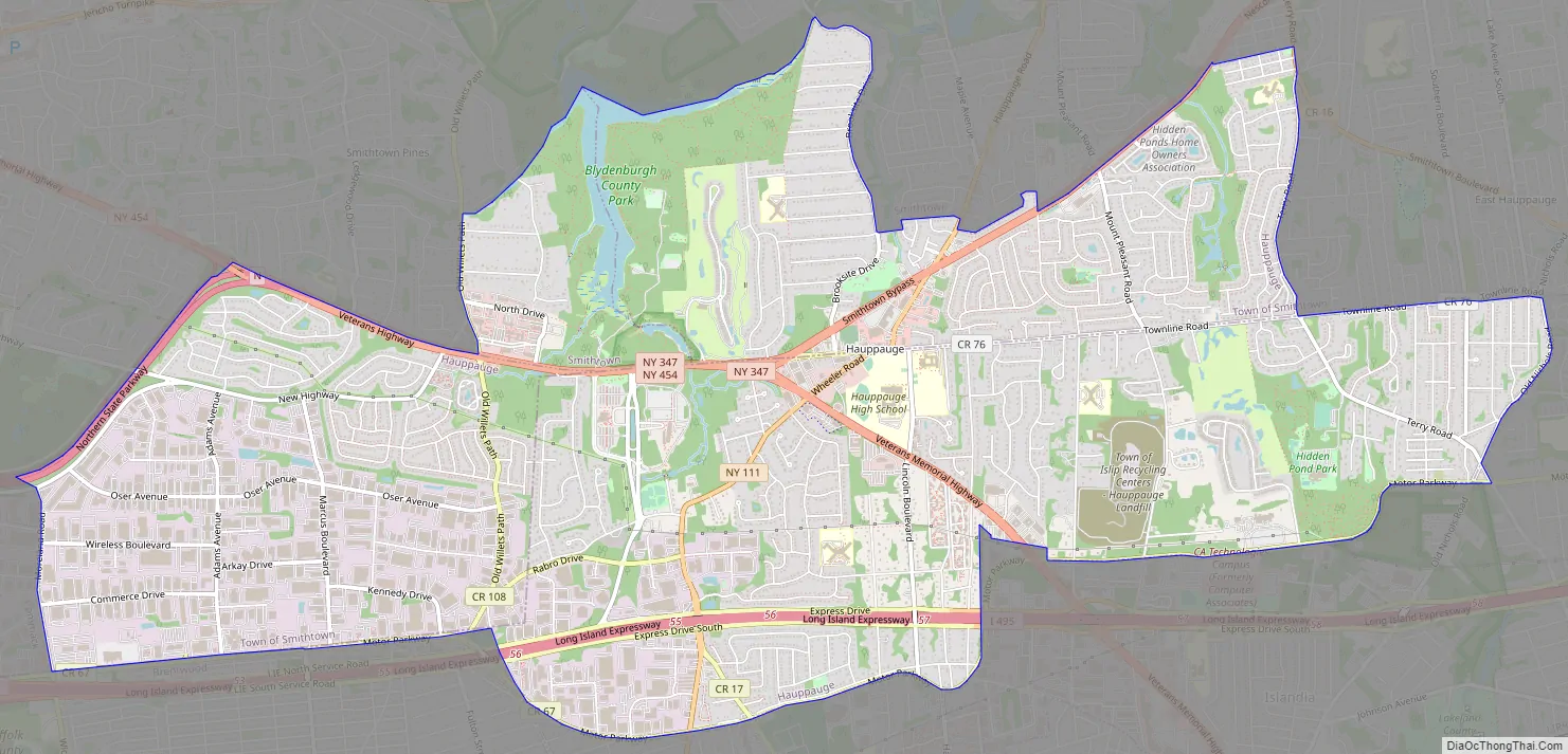
Hauppauge Road Map
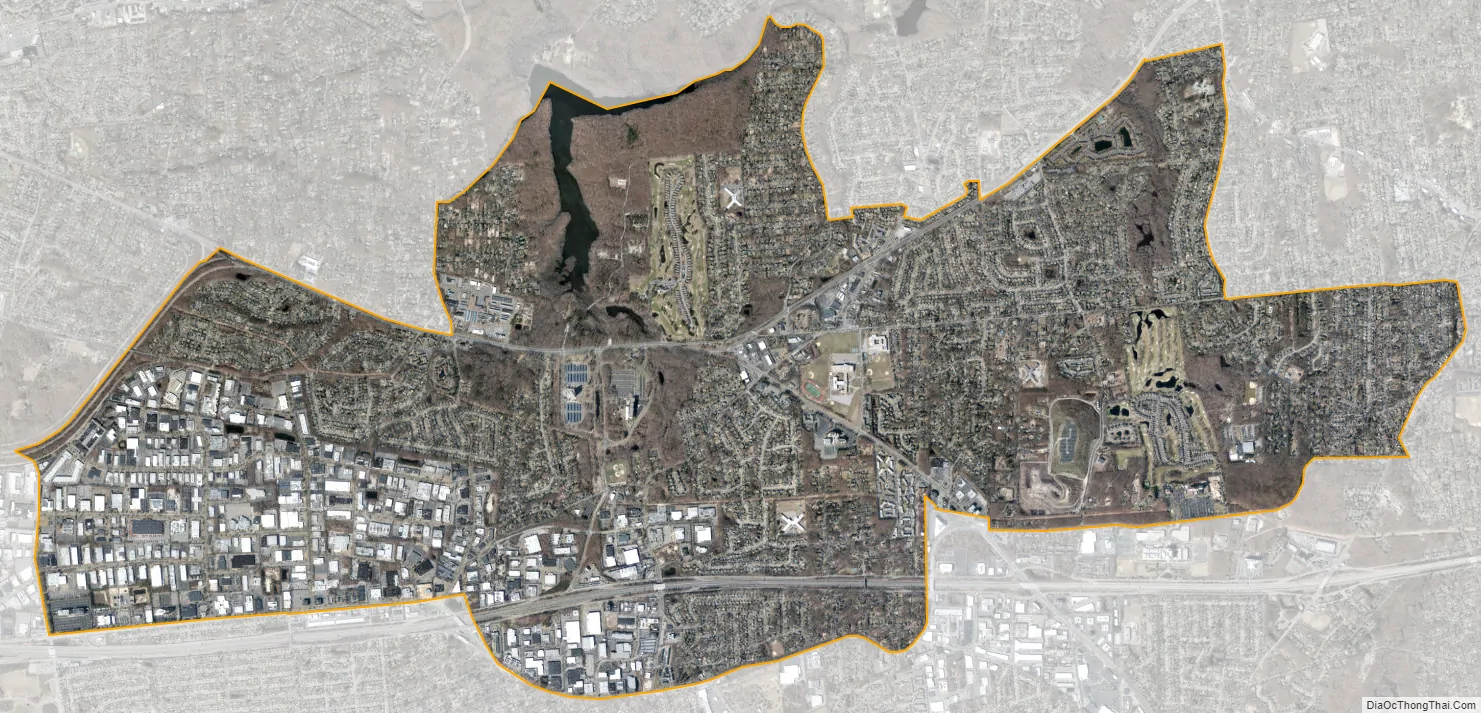
Hauppauge city Satellite Map
Geography
Hauppauge is located at 40°49′6″N 73°12′25″W / 40.81833°N 73.20694°W / 40.81833; -73.20694 (40.818205, -73.206878). According to the United States Census Bureau, the CDP has a total area of 10.8 square miles (28.1 km), of which 10.7 square miles (27.7 km) is land and 0.15 square miles (0.4 km), or 1.37%, is water. The name is derived from the Native American word for “sweet waters.” Local Native American tribes would get their fresh drinking water from this area, instead of near Lake Ronkonkoma where the water was not potable. Hauppauge is known for the underground water springs and high underground water table.
See also
Map of New York State and its subdivision:- Albany
- Allegany
- Bronx
- Broome
- Cattaraugus
- Cayuga
- Chautauqua
- Chemung
- Chenango
- Clinton
- Columbia
- Cortland
- Delaware
- Dutchess
- Erie
- Essex
- Franklin
- Fulton
- Genesee
- Greene
- Hamilton
- Herkimer
- Jefferson
- Kings
- Lake Ontario
- Lewis
- Livingston
- Madison
- Monroe
- Montgomery
- Nassau
- New York
- Niagara
- Oneida
- Onondaga
- Ontario
- Orange
- Orleans
- Oswego
- Otsego
- Putnam
- Queens
- Rensselaer
- Richmond
- Rockland
- Saint Lawrence
- Saratoga
- Schenectady
- Schoharie
- Schuyler
- Seneca
- Steuben
- Suffolk
- Sullivan
- Tioga
- Tompkins
- Ulster
- Warren
- Washington
- Wayne
- Westchester
- Wyoming
- Yates
- Alabama
- Alaska
- Arizona
- Arkansas
- California
- Colorado
- Connecticut
- Delaware
- District of Columbia
- Florida
- Georgia
- Hawaii
- Idaho
- Illinois
- Indiana
- Iowa
- Kansas
- Kentucky
- Louisiana
- Maine
- Maryland
- Massachusetts
- Michigan
- Minnesota
- Mississippi
- Missouri
- Montana
- Nebraska
- Nevada
- New Hampshire
- New Jersey
- New Mexico
- New York
- North Carolina
- North Dakota
- Ohio
- Oklahoma
- Oregon
- Pennsylvania
- Rhode Island
- South Carolina
- South Dakota
- Tennessee
- Texas
- Utah
- Vermont
- Virginia
- Washington
- West Virginia
- Wisconsin
- Wyoming


