Henderson is a hamlet and census-designated place (CDP) in the town of Henderson, Jefferson County, New York, United States. The population of the CDP was 224 at the 2010 census, out of 1,360 in the entire town of Henderson.
| Name: | Henderson CDP |
|---|---|
| LSAD Code: | 57 |
| LSAD Description: | CDP (suffix) |
| State: | New York |
| County: | Jefferson County |
| Elevation: | 325 ft (99 m) |
| Total Area: | 0.53 sq mi (1.36 km²) |
| Land Area: | 0.53 sq mi (1.36 km²) |
| Water Area: | 0.00 sq mi (0.00 km²) |
| Total Population: | 233 |
| Population Density: | 443.81/sq mi (171.32/km²) |
| ZIP code: | 13650 |
| Area code: | 315 |
| FIPS code: | 3634044 |
| GNISfeature ID: | 0952585 |
Online Interactive Map
Click on ![]() to view map in "full screen" mode.
to view map in "full screen" mode.
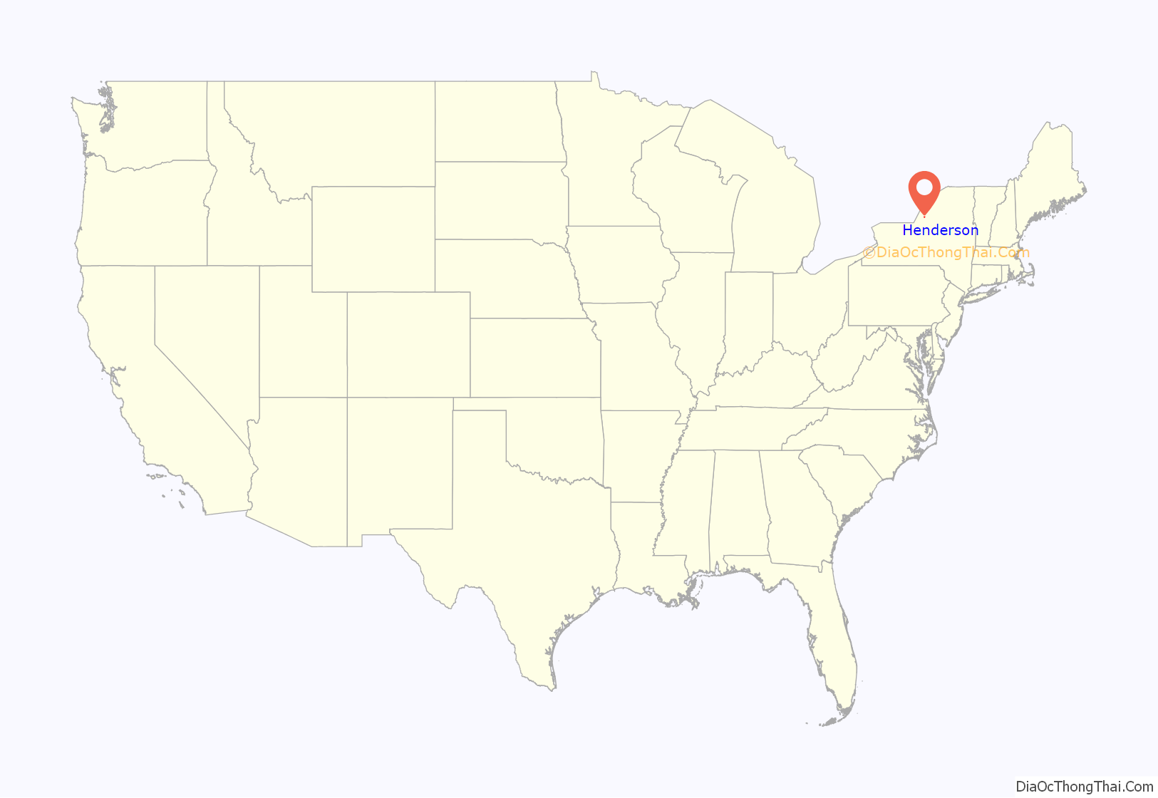
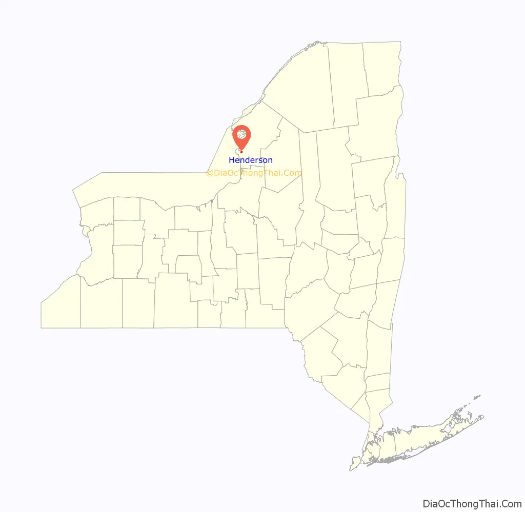
Henderson location map. Where is Henderson CDP?
Henderson Road Map
Henderson city Satellite Map

Geography
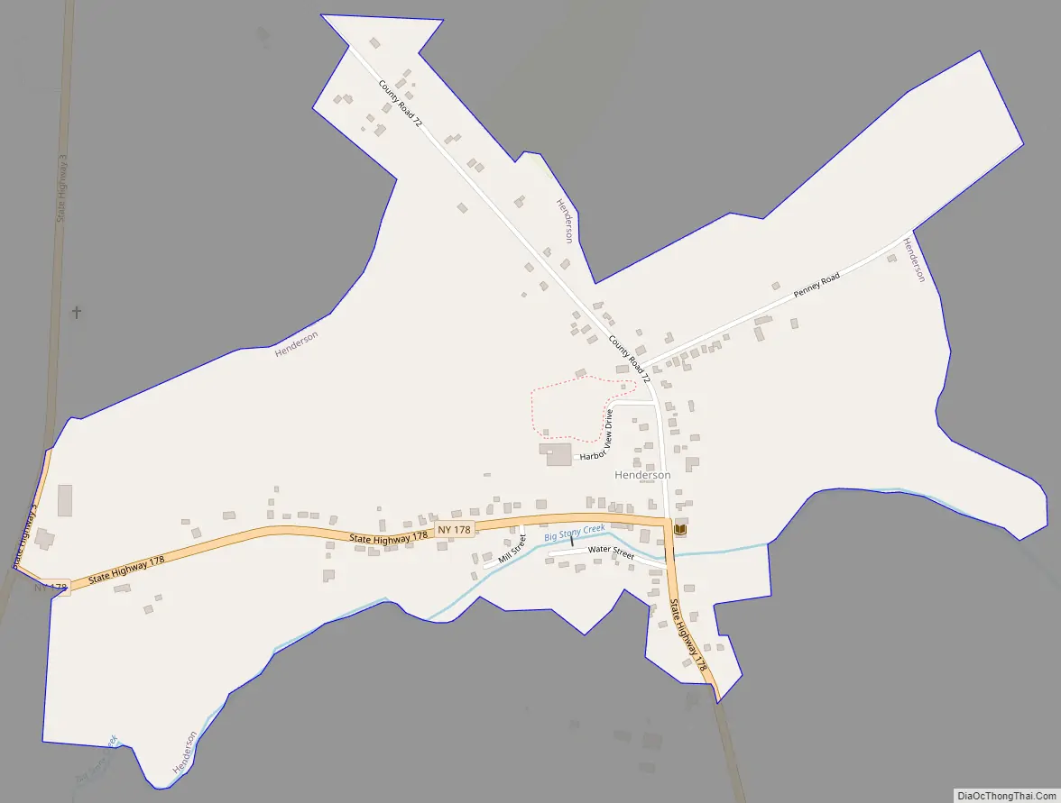
The hamlet of Henderson is located in southwestern Jefferson County, in the center of the town of Henderson. The community is in the valley of Stony Creek, a southwestward-flowing tributary of Lake Ontario. New York State Route 178 runs through the center of the community, leading west 1 mile (1.6 km) to New York State Route 3 and southeast 9 miles (14 km) to Adams. Henderson Harbor on Lake Ontario is 1.7 miles (2.7 km) to the northwest via County Route 72.
According to the United States Census Bureau, the Henderson CDP has a total area of 0.51 square miles (1.31 km), all land.
See also
Map of New York State and its subdivision:- Albany
- Allegany
- Bronx
- Broome
- Cattaraugus
- Cayuga
- Chautauqua
- Chemung
- Chenango
- Clinton
- Columbia
- Cortland
- Delaware
- Dutchess
- Erie
- Essex
- Franklin
- Fulton
- Genesee
- Greene
- Hamilton
- Herkimer
- Jefferson
- Kings
- Lake Ontario
- Lewis
- Livingston
- Madison
- Monroe
- Montgomery
- Nassau
- New York
- Niagara
- Oneida
- Onondaga
- Ontario
- Orange
- Orleans
- Oswego
- Otsego
- Putnam
- Queens
- Rensselaer
- Richmond
- Rockland
- Saint Lawrence
- Saratoga
- Schenectady
- Schoharie
- Schuyler
- Seneca
- Steuben
- Suffolk
- Sullivan
- Tioga
- Tompkins
- Ulster
- Warren
- Washington
- Wayne
- Westchester
- Wyoming
- Yates
- Alabama
- Alaska
- Arizona
- Arkansas
- California
- Colorado
- Connecticut
- Delaware
- District of Columbia
- Florida
- Georgia
- Hawaii
- Idaho
- Illinois
- Indiana
- Iowa
- Kansas
- Kentucky
- Louisiana
- Maine
- Maryland
- Massachusetts
- Michigan
- Minnesota
- Mississippi
- Missouri
- Montana
- Nebraska
- Nevada
- New Hampshire
- New Jersey
- New Mexico
- New York
- North Carolina
- North Dakota
- Ohio
- Oklahoma
- Oregon
- Pennsylvania
- Rhode Island
- South Carolina
- South Dakota
- Tennessee
- Texas
- Utah
- Vermont
- Virginia
- Washington
- West Virginia
- Wisconsin
- Wyoming


