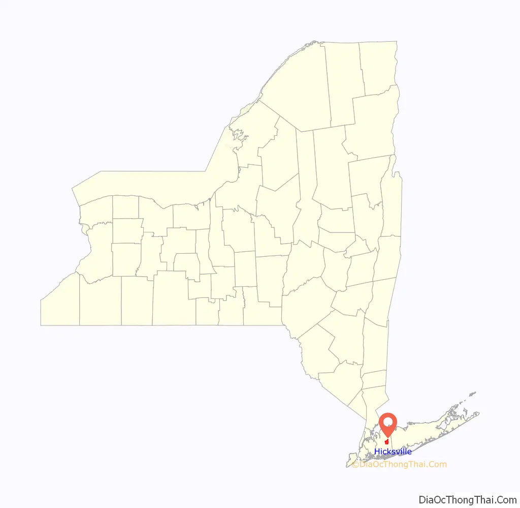
Hicksville is a hamlet and census-designated place (CDP) within the Town of Oyster Bay in Nassau County, on Long Island, in New York. The population of the CDP was 43,869 at the 2020 census.
| Name: | Hicksville CDP |
|---|---|
| LSAD Code: | 57 |
| LSAD Description: | CDP (suffix) |
| State: | New York |
| County: | Nassau County |
| Elevation: | 148 ft (45 m) |
| Total Area: | 6.81 sq mi (17.63 km²) |
| Land Area: | 6.79 sq mi (17.59 km²) |
| Water Area: | 0.01 sq mi (0.04 km²) |
| Total Population: | 43,869 |
| Population Density: | 6,458.92/sq mi (2,493.74/km²) |
| ZIP code: | 11801 |
| Area code: | 516 |
| FIPS code: | 3634374 |
| GNISfeature ID: | 0952707 |
| Website: | www.hicksvillechamber.com |
Online Interactive Map
Click on ![]() to view map in "full screen" mode.
to view map in "full screen" mode.
Hicksville location map. Where is Hicksville CDP?
History
Valentine Hicks, son-in-law of abolitionist and Quaker preacher Elias Hicks, and eventual president of the Long Island Rail Road, bought land in the village in 1834 and turned it into a station stop on the LIRR in 1837. The station became a depot for produce, particularly cucumbers for a Heinz Company plant. After a blight destroyed the cucumber crops, the farmers grew potatoes. It turned into a bustling New York City suburb in the building boom following World War II. The hamlet was named for Valentine Hicks.
Failed incorporation attempt
In 1953, Hicksville attempted to incorporate itself as the Incorporated Village of Hicksville. Many residents felt that by incorporating as a village, the community would be run more effectively than by the Town of Oyster Bay. A petition had been signed with 6,242 signatures from residents in favor of the plan.
However, these plans were unsuccessful, and Hicksville remains an unincorporated area of the Town of Oyster Bay to this day, as of 2022.
Hicksville Road Map
Hicksville city Satellite Map
Geography
According to the United States Census Bureau, the CDP has a total area of 6.8 square miles (18 km), of which 6.8 square miles (18 km) is land and 0.15% is water.
Climate
The climate is borderline between hot-summer humid continental (Dfa) and humid subtropical (Cfa) and the local hardiness zone is 7a. Average monthly temperatures in the village centre range from 31.9 °F in January to 74.7 °F in July.
See also
Map of New York State and its subdivision:- Albany
- Allegany
- Bronx
- Broome
- Cattaraugus
- Cayuga
- Chautauqua
- Chemung
- Chenango
- Clinton
- Columbia
- Cortland
- Delaware
- Dutchess
- Erie
- Essex
- Franklin
- Fulton
- Genesee
- Greene
- Hamilton
- Herkimer
- Jefferson
- Kings
- Lake Ontario
- Lewis
- Livingston
- Madison
- Monroe
- Montgomery
- Nassau
- New York
- Niagara
- Oneida
- Onondaga
- Ontario
- Orange
- Orleans
- Oswego
- Otsego
- Putnam
- Queens
- Rensselaer
- Richmond
- Rockland
- Saint Lawrence
- Saratoga
- Schenectady
- Schoharie
- Schuyler
- Seneca
- Steuben
- Suffolk
- Sullivan
- Tioga
- Tompkins
- Ulster
- Warren
- Washington
- Wayne
- Westchester
- Wyoming
- Yates
- Alabama
- Alaska
- Arizona
- Arkansas
- California
- Colorado
- Connecticut
- Delaware
- District of Columbia
- Florida
- Georgia
- Hawaii
- Idaho
- Illinois
- Indiana
- Iowa
- Kansas
- Kentucky
- Louisiana
- Maine
- Maryland
- Massachusetts
- Michigan
- Minnesota
- Mississippi
- Missouri
- Montana
- Nebraska
- Nevada
- New Hampshire
- New Jersey
- New Mexico
- New York
- North Carolina
- North Dakota
- Ohio
- Oklahoma
- Oregon
- Pennsylvania
- Rhode Island
- South Carolina
- South Dakota
- Tennessee
- Texas
- Utah
- Vermont
- Virginia
- Washington
- West Virginia
- Wisconsin
- Wyoming


