Hilton is a village in Monroe County, New York, United States. The population was 5,886 at the 2010 census. The community was named for the Rev. Charles A. Hilton.
The Village of Hilton is within the Town of Parma.
| Name: | Hilton village |
|---|---|
| LSAD Code: | 47 |
| LSAD Description: | village (suffix) |
| State: | New York |
| County: | Monroe County |
| Incorporated: | 1885 |
| Elevation: | 285 ft (87 m) |
| Total Area: | 1.79 sq mi (4.63 km²) |
| Land Area: | 1.79 sq mi (4.63 km²) |
| Water Area: | 0.00 sq mi (0.00 km²) |
| Total Population: | 6,027 |
| Population Density: | 3,374.58/sq mi (1,302.70/km²) |
| ZIP code: | 14468 |
| Area code: | 585 |
| FIPS code: | 3634847 |
| Website: | http://www.hiltonny.org/ |
Online Interactive Map
Click on ![]() to view map in "full screen" mode.
to view map in "full screen" mode.
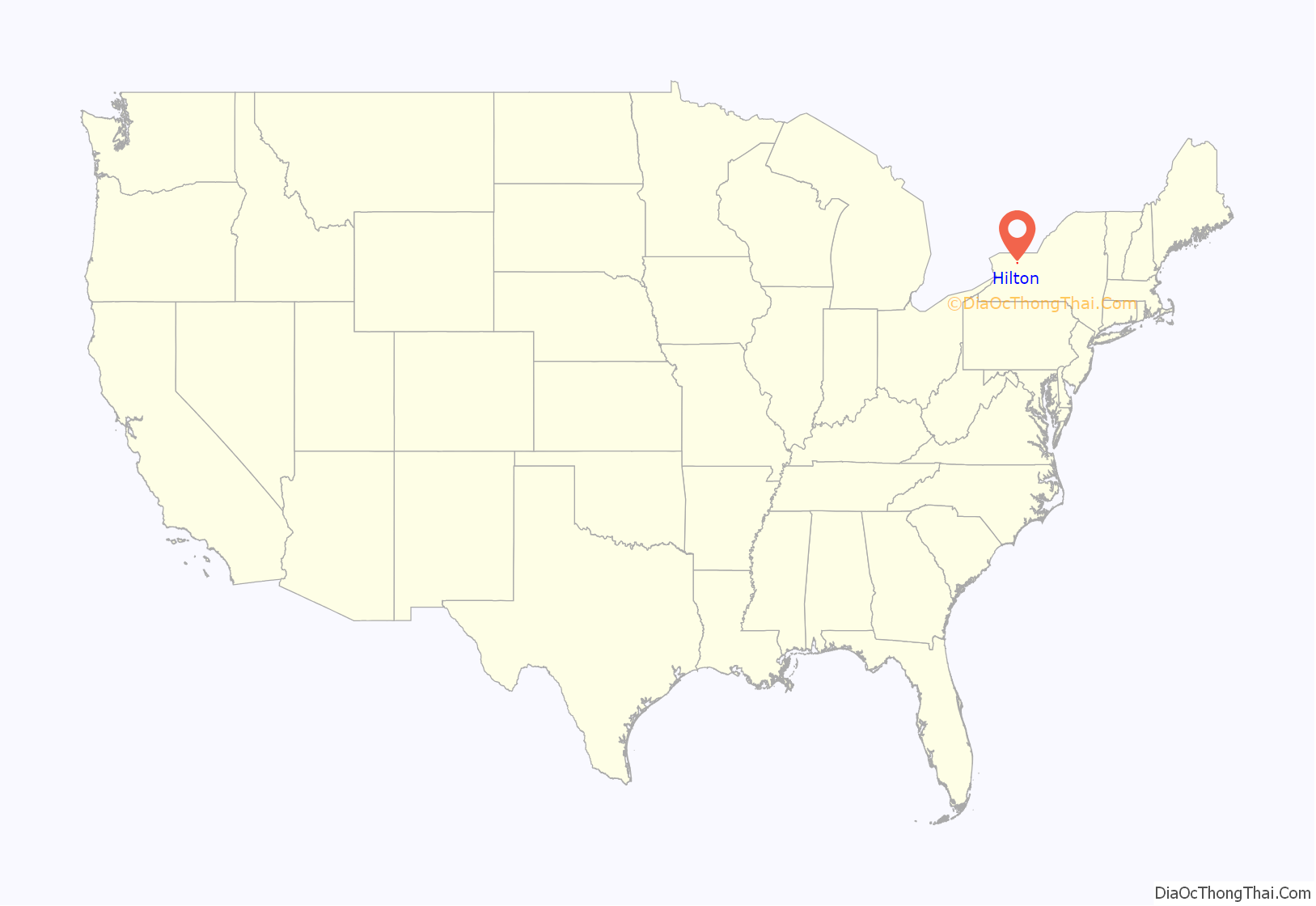
Hilton location map. Where is Hilton village?
History
In 1805, Jonathon Underwood came from Vermont and was the first to settle in the area now known as Hilton. Originally known as Unionville, the village was incorporated in 1885 as North Parma. In 1896, the name was changed to Hilton to honor Reverend Charles Augustus Hilton, a former pastor of the village’s Freewill Baptist Church. Over 60% of the central business district was destroyed by fire in March 1965 and later rebuilt.
The Chase Cobblestone Farmhouse and Curtis-Crumb Farm are listed on the National Register of Historic Places.
Hilton Road Map
Hilton city Satellite Map
Geography
Hilton is located at 43°17′24″N 77°47′33″W / 43.29000°N 77.79250°W / 43.29000; -77.79250 (43.289873, -77.792444).
According to the United States Census Bureau, the village has a total area of 1.7 square miles (4.4 km), all land.
See also
Map of New York State and its subdivision:- Albany
- Allegany
- Bronx
- Broome
- Cattaraugus
- Cayuga
- Chautauqua
- Chemung
- Chenango
- Clinton
- Columbia
- Cortland
- Delaware
- Dutchess
- Erie
- Essex
- Franklin
- Fulton
- Genesee
- Greene
- Hamilton
- Herkimer
- Jefferson
- Kings
- Lake Ontario
- Lewis
- Livingston
- Madison
- Monroe
- Montgomery
- Nassau
- New York
- Niagara
- Oneida
- Onondaga
- Ontario
- Orange
- Orleans
- Oswego
- Otsego
- Putnam
- Queens
- Rensselaer
- Richmond
- Rockland
- Saint Lawrence
- Saratoga
- Schenectady
- Schoharie
- Schuyler
- Seneca
- Steuben
- Suffolk
- Sullivan
- Tioga
- Tompkins
- Ulster
- Warren
- Washington
- Wayne
- Westchester
- Wyoming
- Yates
- Alabama
- Alaska
- Arizona
- Arkansas
- California
- Colorado
- Connecticut
- Delaware
- District of Columbia
- Florida
- Georgia
- Hawaii
- Idaho
- Illinois
- Indiana
- Iowa
- Kansas
- Kentucky
- Louisiana
- Maine
- Maryland
- Massachusetts
- Michigan
- Minnesota
- Mississippi
- Missouri
- Montana
- Nebraska
- Nevada
- New Hampshire
- New Jersey
- New Mexico
- New York
- North Carolina
- North Dakota
- Ohio
- Oklahoma
- Oregon
- Pennsylvania
- Rhode Island
- South Carolina
- South Dakota
- Tennessee
- Texas
- Utah
- Vermont
- Virginia
- Washington
- West Virginia
- Wisconsin
- Wyoming
