Holbrook is a hamlet and census-designated place (CDP) in Suffolk County, New York, United States. The population was 27,195 at the 2010 census. The community borders the eastern side of Long Island MacArthur Airport.
| Name: | Holbrook CDP |
|---|---|
| LSAD Code: | 57 |
| LSAD Description: | CDP (suffix) |
| State: | New York |
| County: | Suffolk County |
| Elevation: | 118 ft (36 m) |
| Total Area: | 6.88 sq mi (17.83 km²) |
| Land Area: | 6.88 sq mi (17.83 km²) |
| Water Area: | 0.00 sq mi (0.00 km²) |
| Total Population: | 26,487 |
| Population Density: | 3,848.18/sq mi (1,485.81/km²) |
| ZIP code: | 11741 |
| Area code: | 631, 934 |
| FIPS code: | 3635056 |
| GNISfeature ID: | 0952975 |
Online Interactive Map
Click on ![]() to view map in "full screen" mode.
to view map in "full screen" mode.
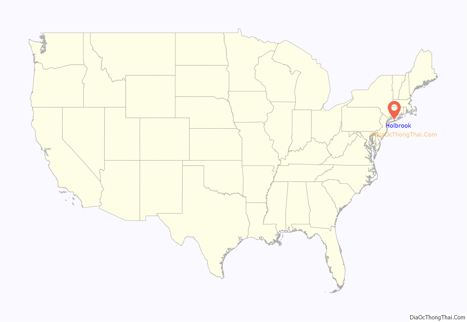
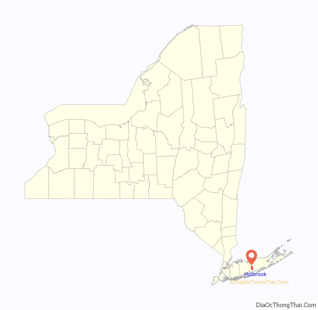
Holbrook location map. Where is Holbrook CDP?
History
Holbrook is believed to have derived its name from a stream which was called, in various narratives, either “Old Brook” or “Hollow Brook.”
The area was part of the 51,000 acre Islip Grange estate, acquired in 1697 by William Nicoll (son of Matthias Nicoll, who was the sixth mayor of New York City). It was largely a rural area until Alexander McCotter acquired 5,000 acres in the area in 1848 (after the Long Island Rail Road reached it in 1844) and platted the community. The oldest still standing building from this period is St. John’s Lutheran Church, which was built in 1863. In 1875, the Nevins and Griswold cigar factory operated at the original LIRR station.
In 1931, the population was 321. Population increased from 2,500 in 1965 to 15,000 in 1975, after the Long Island Expressway reached the community in 1969. It also was the center of growth as Long Island MacArthur Airport developed along the community’s western border.
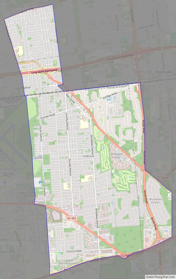
Holbrook Road Map
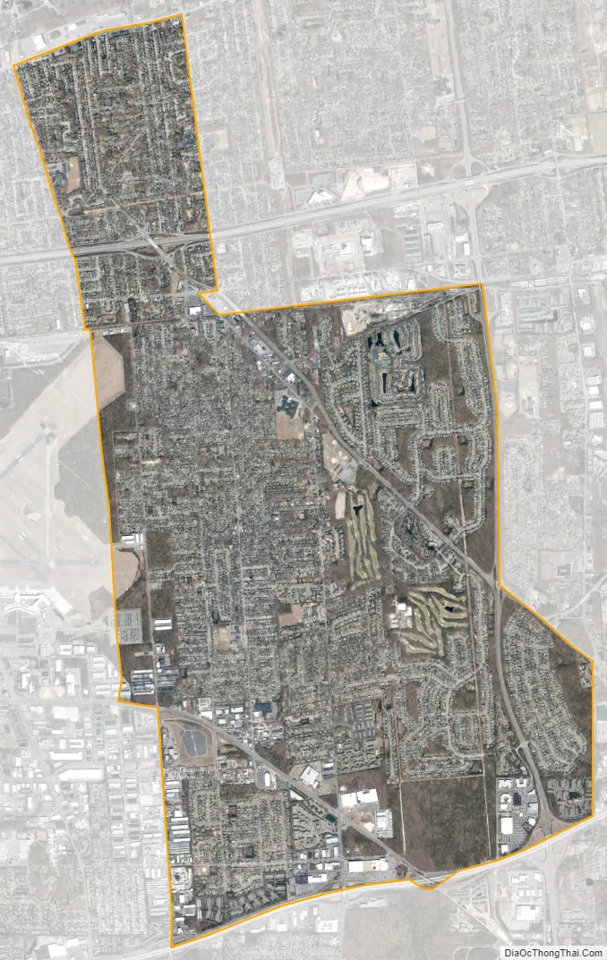
Holbrook city Satellite Map
Geography
According to the United States Census Bureau, the CDP has a total area of 7.2 square miles (18.6 km), all land.
Climate
It has a hot-summer humid continental climate (Dfa) and average monthly temperatures at the Holbrook Country Club range from 30.9 °F in January to 74.0 °F in July. The local hardiness zone is 7a.
See also
Map of New York State and its subdivision:- Albany
- Allegany
- Bronx
- Broome
- Cattaraugus
- Cayuga
- Chautauqua
- Chemung
- Chenango
- Clinton
- Columbia
- Cortland
- Delaware
- Dutchess
- Erie
- Essex
- Franklin
- Fulton
- Genesee
- Greene
- Hamilton
- Herkimer
- Jefferson
- Kings
- Lake Ontario
- Lewis
- Livingston
- Madison
- Monroe
- Montgomery
- Nassau
- New York
- Niagara
- Oneida
- Onondaga
- Ontario
- Orange
- Orleans
- Oswego
- Otsego
- Putnam
- Queens
- Rensselaer
- Richmond
- Rockland
- Saint Lawrence
- Saratoga
- Schenectady
- Schoharie
- Schuyler
- Seneca
- Steuben
- Suffolk
- Sullivan
- Tioga
- Tompkins
- Ulster
- Warren
- Washington
- Wayne
- Westchester
- Wyoming
- Yates
- Alabama
- Alaska
- Arizona
- Arkansas
- California
- Colorado
- Connecticut
- Delaware
- District of Columbia
- Florida
- Georgia
- Hawaii
- Idaho
- Illinois
- Indiana
- Iowa
- Kansas
- Kentucky
- Louisiana
- Maine
- Maryland
- Massachusetts
- Michigan
- Minnesota
- Mississippi
- Missouri
- Montana
- Nebraska
- Nevada
- New Hampshire
- New Jersey
- New Mexico
- New York
- North Carolina
- North Dakota
- Ohio
- Oklahoma
- Oregon
- Pennsylvania
- Rhode Island
- South Carolina
- South Dakota
- Tennessee
- Texas
- Utah
- Vermont
- Virginia
- Washington
- West Virginia
- Wisconsin
- Wyoming


