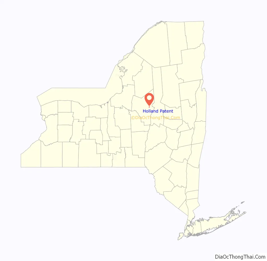
Holland Patent is a village in Oneida County, New York, United States. The population was 458 at the 2010 census. The village is named after a land grant.
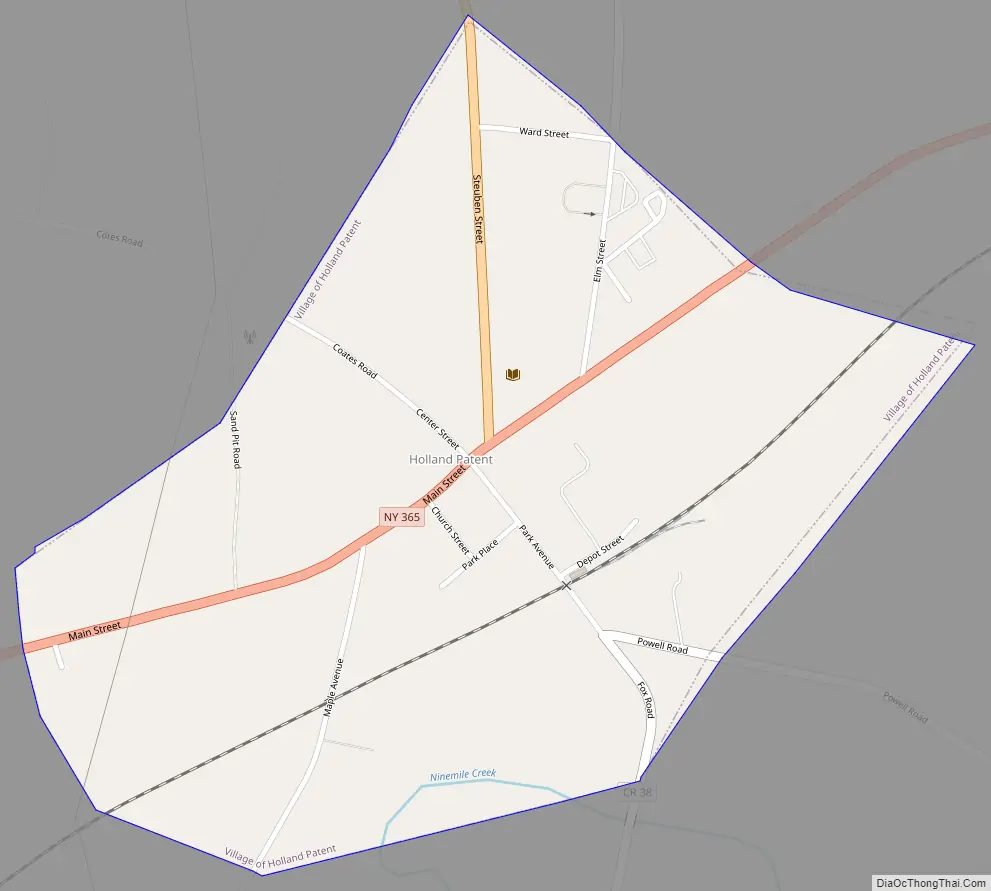
The Village of Holland Patent is in the western part of the Town of Trenton at the junction of Routes 274, 291, and 365.
| Name: | Holland Patent village |
|---|---|
| LSAD Code: | 47 |
| LSAD Description: | village (suffix) |
| State: | New York |
| County: | Oneida County |
| Elevation: | 640 ft (195 m) |
| Total Area: | 0.51 sq mi (1.32 km²) |
| Land Area: | 0.51 sq mi (1.31 km²) |
| Water Area: | 0.00 sq mi (0.01 km²) |
| Total Population: | 416 |
| Population Density: | 822.13/sq mi (317.72/km²) |
| ZIP code: | 13354 |
| Area code: | 315 |
| FIPS code: | 3635144 |
| GNISfeature ID: | 0952992 |
Online Interactive Map
Click on ![]() to view map in "full screen" mode.
to view map in "full screen" mode.
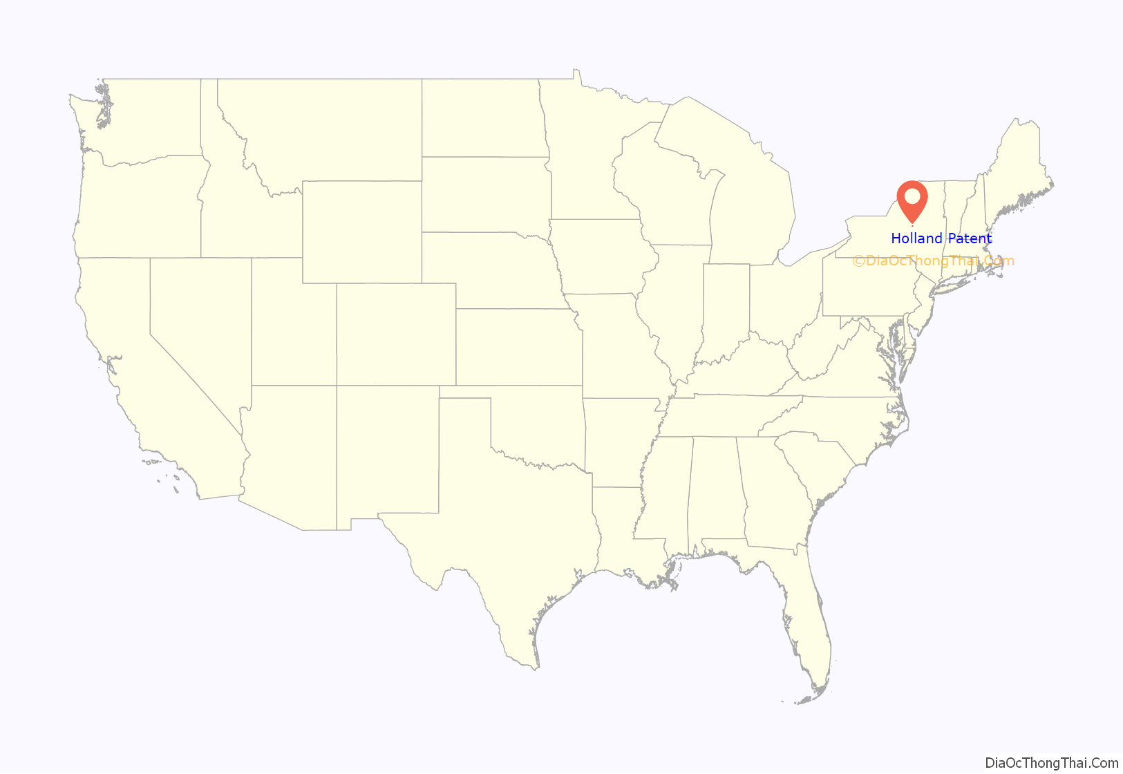
Holland Patent location map. Where is Holland Patent village?
History
In 1797, the Village of Holland Patent was established by Gerrit Boon, an agent of the Holland Land Company to help develop and sell land that had been purchased as investments.
The Holland Patent Stone Churches Historic District was listed on the National Register of Historic Places in 1991. The Holland Patent Railroad Station was listed in 2000.
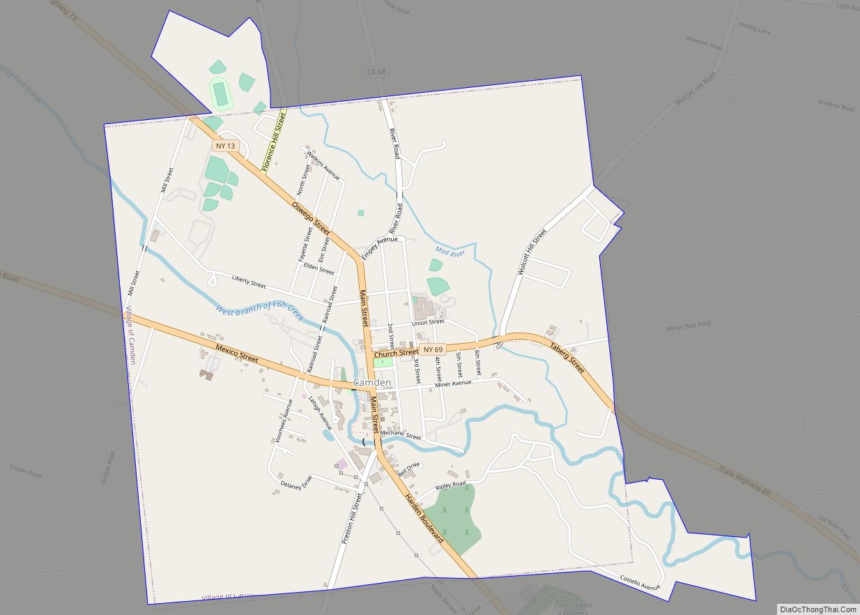
Holland Patent Road Map
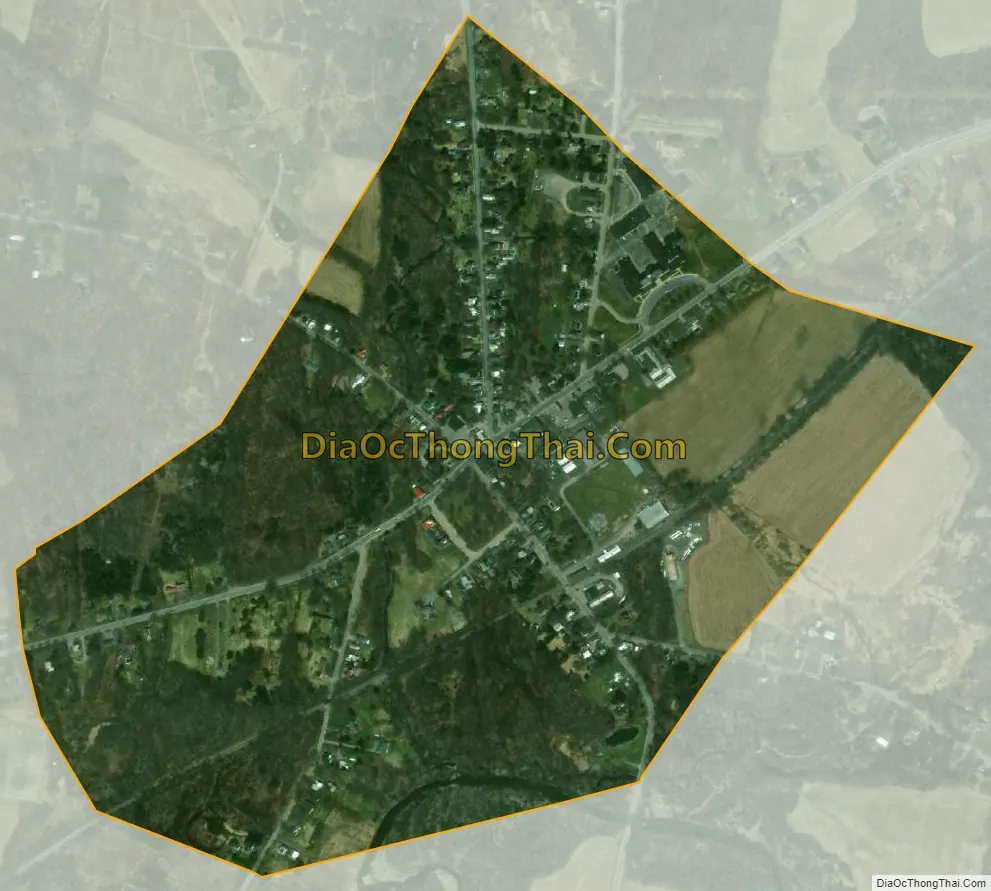
Holland Patent city Satellite Map
Geography
Holland Patent is located at 43°14′31″N 75°15′25″W / 43.24194°N 75.25694°W / 43.24194; -75.25694 (43.241819, -75.257057).
According to the United States Census Bureau, the village has a total area of 0.5 square miles (1.3 km), of which 0.5 square miles (1.3 km) is land and 2.04% is water.
See also
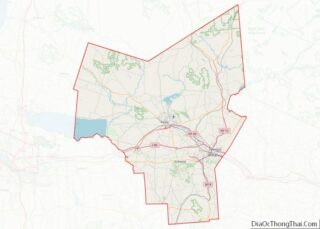
Map of New York State and its subdivision:- Albany
- Allegany
- Bronx
- Broome
- Cattaraugus
- Cayuga
- Chautauqua
- Chemung
- Chenango
- Clinton
- Columbia
- Cortland
- Delaware
- Dutchess
- Erie
- Essex
- Franklin
- Fulton
- Genesee
- Greene
- Hamilton
- Herkimer
- Jefferson
- Kings
- Lake Ontario
- Lewis
- Livingston
- Madison
- Monroe
- Montgomery
- Nassau
- New York
- Niagara
- Oneida
- Onondaga
- Ontario
- Orange
- Orleans
- Oswego
- Otsego
- Putnam
- Queens
- Rensselaer
- Richmond
- Rockland
- Saint Lawrence
- Saratoga
- Schenectady
- Schoharie
- Schuyler
- Seneca
- Steuben
- Suffolk
- Sullivan
- Tioga
- Tompkins
- Ulster
- Warren
- Washington
- Wayne
- Westchester
- Wyoming
- Yates
- Alabama
- Alaska
- Arizona
- Arkansas
- California
- Colorado
- Connecticut
- Delaware
- District of Columbia
- Florida
- Georgia
- Hawaii
- Idaho
- Illinois
- Indiana
- Iowa
- Kansas
- Kentucky
- Louisiana
- Maine
- Maryland
- Massachusetts
- Michigan
- Minnesota
- Mississippi
- Missouri
- Montana
- Nebraska
- Nevada
- New Hampshire
- New Jersey
- New Mexico
- New York
- North Carolina
- North Dakota
- Ohio
- Oklahoma
- Oregon
- Pennsylvania
- Rhode Island
- South Carolina
- South Dakota
- Tennessee
- Texas
- Utah
- Vermont
- Virginia
- Washington
- West Virginia
- Wisconsin
- Wyoming