Holtsville is a hamlet and census-designated place (CDP) in Suffolk County, on Long Island, in New York, United States. The population was 19,714 at the 2010 census.
The hamlet is mainly in the Town of Brookhaven, while the southwestern portion is in the Town of Islip. An IRS Processing Center is located in Holtsville, along with NYPA’s Richard M. Flynn Power Plant.
| Name: | Holtsville CDP |
|---|---|
| LSAD Code: | 57 |
| LSAD Description: | CDP (suffix) |
| State: | New York |
| County: | Suffolk County |
| Elevation: | 105 ft (32 m) |
| Total Area: | 7.11 sq mi (18.41 km²) |
| Land Area: | 7.11 sq mi (18.41 km²) |
| Water Area: | 0.00 sq mi (0.00 km²) |
| Total Population: | 18,937 |
| Population Density: | 2,663.81/sq mi (1,028.53/km²) |
| Area code: | 631, 934 |
| FIPS code: | 3635254 |
| GNISfeature ID: | 0953030 |
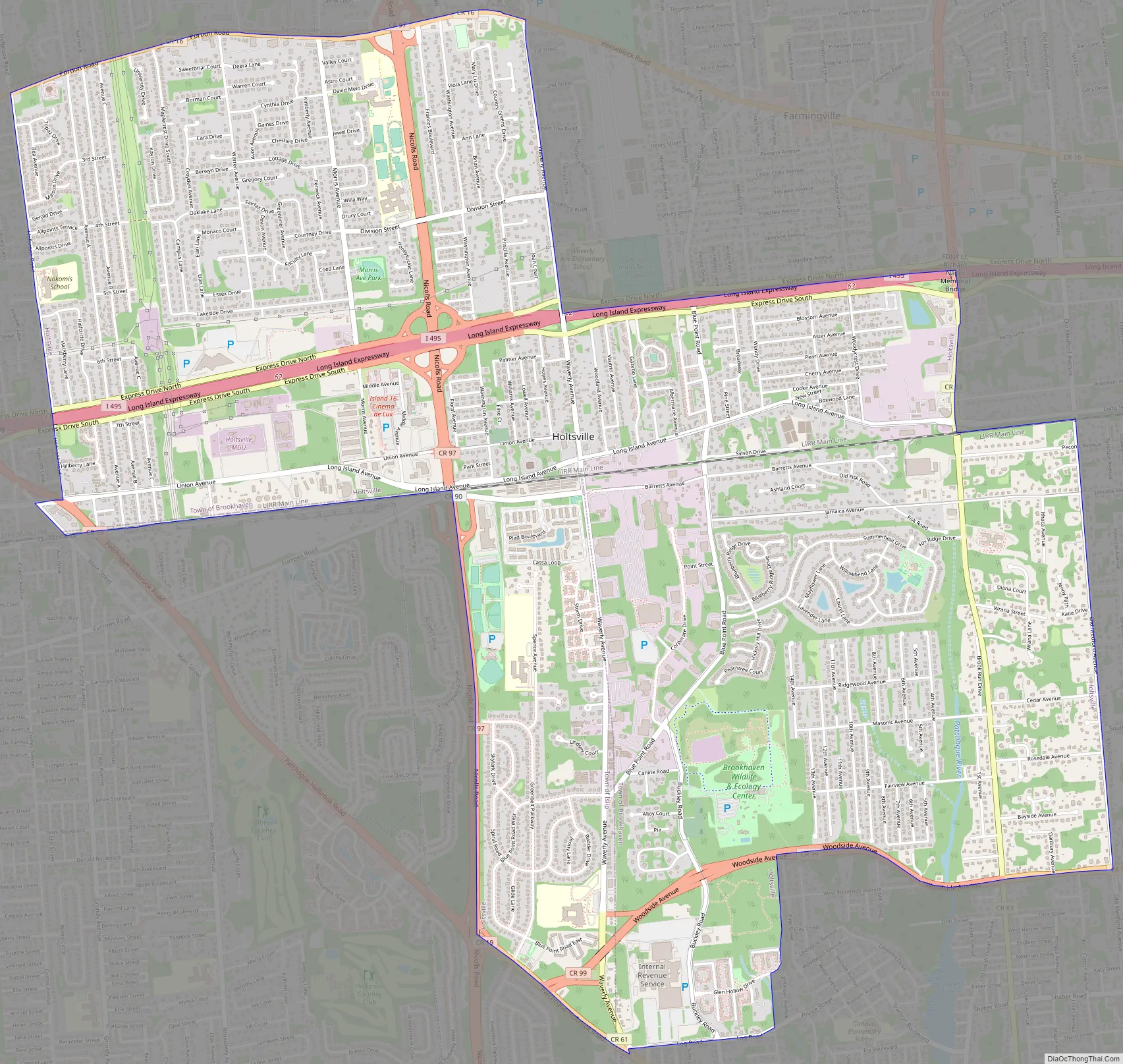
Online Interactive Map
Click on ![]() to view map in "full screen" mode.
to view map in "full screen" mode.
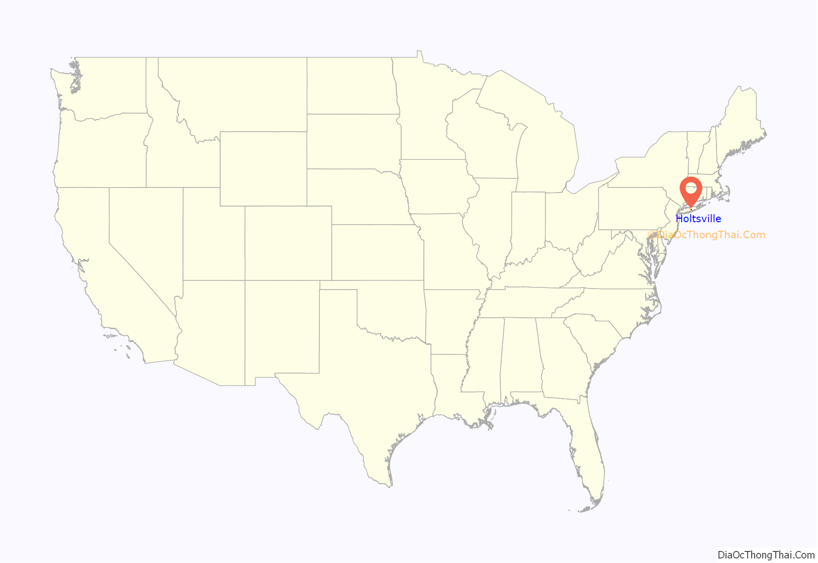
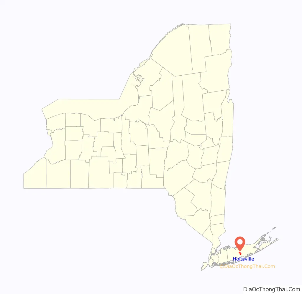
Holtsville location map. Where is Holtsville CDP?
History
The hamlet known today as Holtsville included only a few farmhouses in the late 18th century. In 1843, the Long Island Rail Road opened its Waverly station. Maps from that period label the area as Waverly, and a stagecoach line ran north–south along present day Waverly Avenue. As another post office named Waverly already existed in New York, the name of the hamlet was changed to Holtsville in 1860, in honor of U.S. Postmaster General Joseph Holt. As of 1874, Holtsville consisted of 15 houses, a school, and a general store. The train station retained the name “Waverly” for some time, but was eventually also changed to Holtsville, probably in the 1890s, after farmers complained about their shipments going upstate by mistake. In 1916, the Suffolk County Tuberculosis Sanatorium opened on land that was considered Holtsville at the time, but is now part of the hamlet of Selden. The site later became the location of the main campus of Suffolk County Community College.
The Internal Revenue Service opened a large processing center on a 67-acre (270,000 m) site in the hamlet in 1972.
The rail era in Holtsville ended in 1998, when a number of LIRR stations closed due to low ridership. Holtsville commuters were advised to use Medford and Ronkonkoma stations; more use Ronkonkoma because, except for a few peak-hour trains terminating in Mineola or Hicksville, boarding at Medford would require transfer to an electric train at Ronkonkoma anyway.
As of 2016, the Internal Revenue Service in Holtsville has the lowest ZIP Code (00501) in use in the United States.
Holtsville Road Map
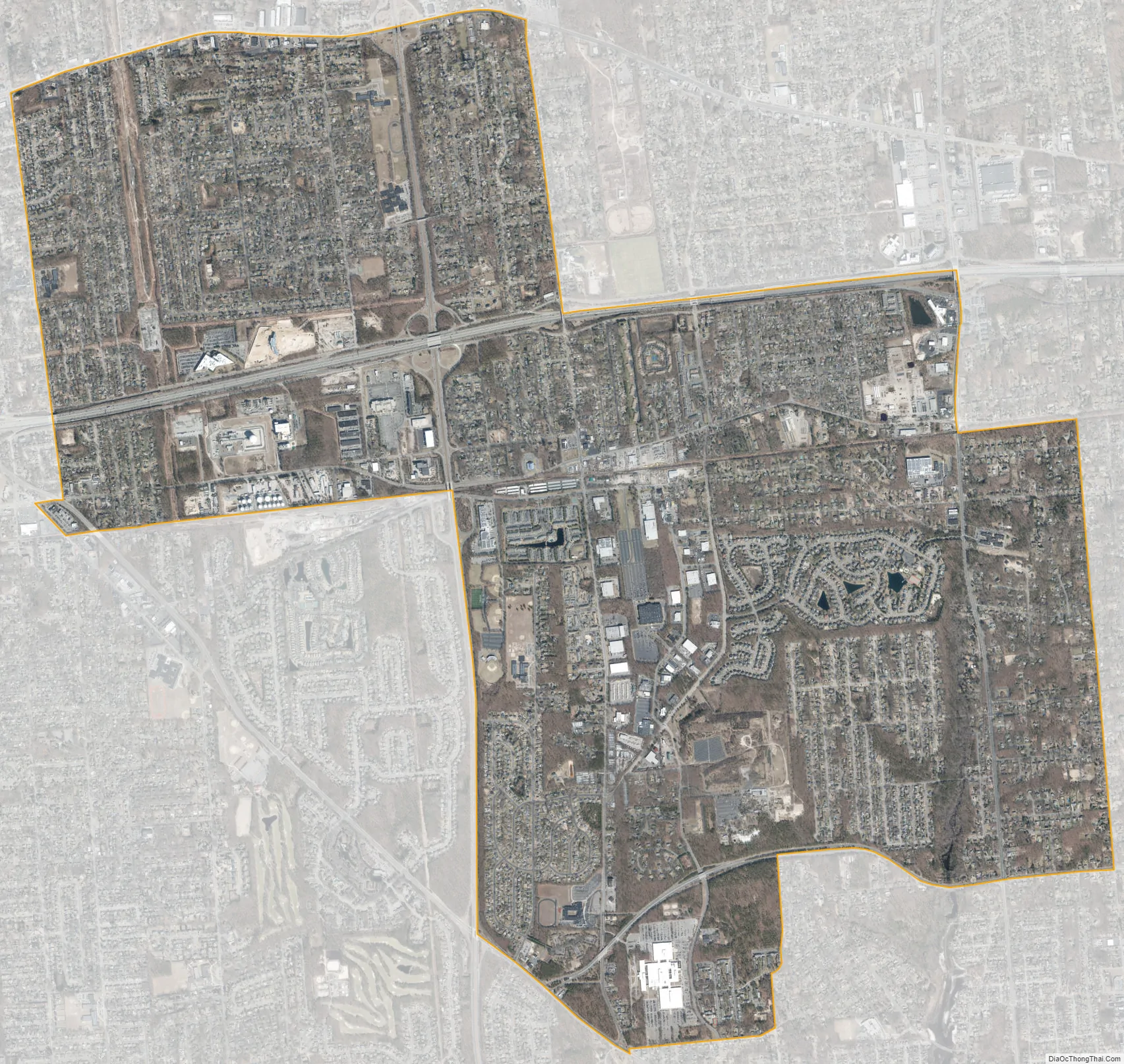
Holtsville city Satellite Map
Geography
According to the United States Census Bureau, the CDP has a total area of 7.1 square miles (18.4 km), all land.
See also
Map of New York State and its subdivision:- Albany
- Allegany
- Bronx
- Broome
- Cattaraugus
- Cayuga
- Chautauqua
- Chemung
- Chenango
- Clinton
- Columbia
- Cortland
- Delaware
- Dutchess
- Erie
- Essex
- Franklin
- Fulton
- Genesee
- Greene
- Hamilton
- Herkimer
- Jefferson
- Kings
- Lake Ontario
- Lewis
- Livingston
- Madison
- Monroe
- Montgomery
- Nassau
- New York
- Niagara
- Oneida
- Onondaga
- Ontario
- Orange
- Orleans
- Oswego
- Otsego
- Putnam
- Queens
- Rensselaer
- Richmond
- Rockland
- Saint Lawrence
- Saratoga
- Schenectady
- Schoharie
- Schuyler
- Seneca
- Steuben
- Suffolk
- Sullivan
- Tioga
- Tompkins
- Ulster
- Warren
- Washington
- Wayne
- Westchester
- Wyoming
- Yates
- Alabama
- Alaska
- Arizona
- Arkansas
- California
- Colorado
- Connecticut
- Delaware
- District of Columbia
- Florida
- Georgia
- Hawaii
- Idaho
- Illinois
- Indiana
- Iowa
- Kansas
- Kentucky
- Louisiana
- Maine
- Maryland
- Massachusetts
- Michigan
- Minnesota
- Mississippi
- Missouri
- Montana
- Nebraska
- Nevada
- New Hampshire
- New Jersey
- New Mexico
- New York
- North Carolina
- North Dakota
- Ohio
- Oklahoma
- Oregon
- Pennsylvania
- Rhode Island
- South Carolina
- South Dakota
- Tennessee
- Texas
- Utah
- Vermont
- Virginia
- Washington
- West Virginia
- Wisconsin
- Wyoming


