Honeoye Falls (/ˈhʌniɔɪ/ HUN-ee-oy) is a village within the town of Mendon in Monroe County, New York, United States. The population was 2,706 at the 2020 census. The village includes a small waterfall on Honeoye Creek, which flows through the village and gives it its name. The name Honeoye comes from the Seneca word ha-ne-a-yah, which means lying finger, or where the finger lies. The name comes from the local story of a Native American whose finger was bitten by a rattlesnake and who therefore cut off his finger with a tomahawk.
| Name: | Honeoye Falls village |
|---|---|
| LSAD Code: | 47 |
| LSAD Description: | village (suffix) |
| State: | New York |
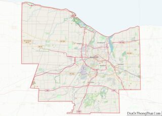
| County: | Monroe County |
| Incorporated: | 1791 |
| Elevation: | 668 ft (204 m) |
| Total Area: | 2.60 sq mi (6.72 km²) |
| Land Area: | 2.54 sq mi (6.59 km²) |
| Water Area: | 0.05 sq mi (0.13 km²) |
| Total Population: | 2,706 |
| Population Density: | 1,064.10/sq mi (410.83/km²) |
| ZIP code: | 14472 |
| Area code: | 585 |
| FIPS code: | 3635364 |
| Website: | http://www.villageofhoneoyefalls.org/ |
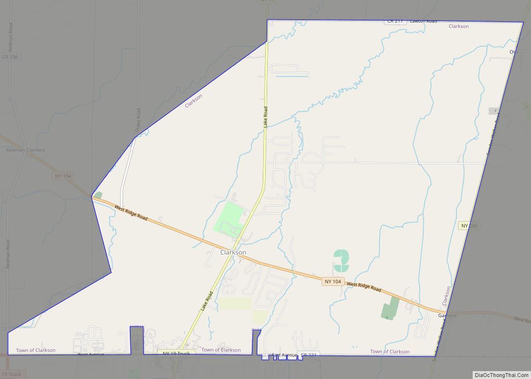
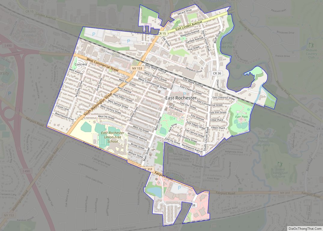
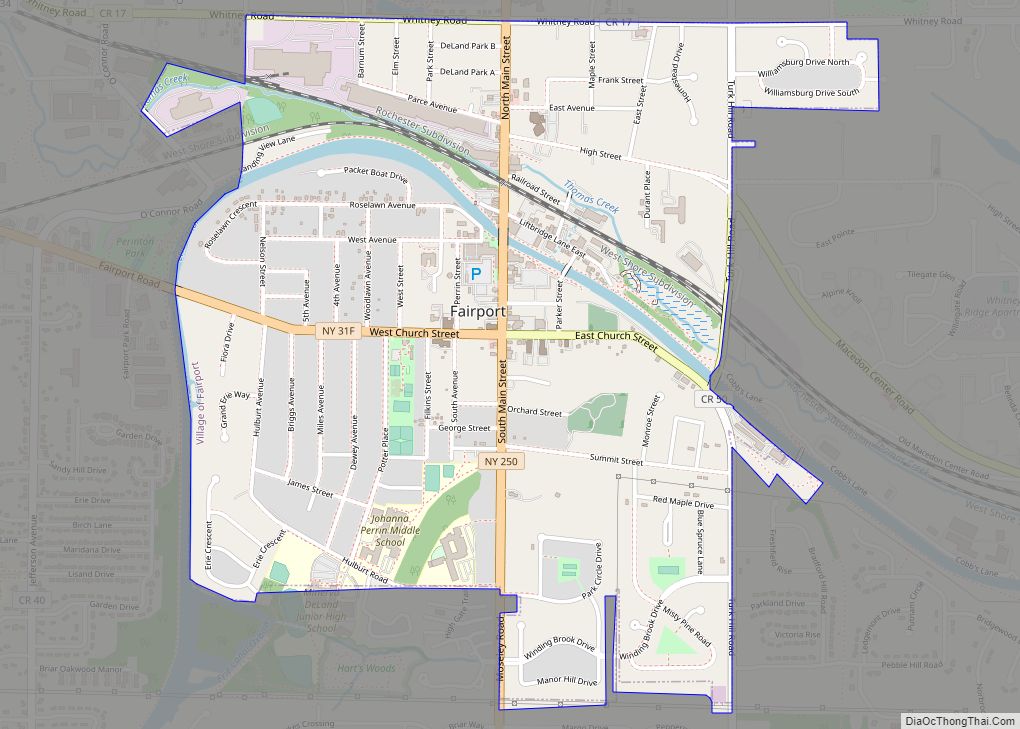
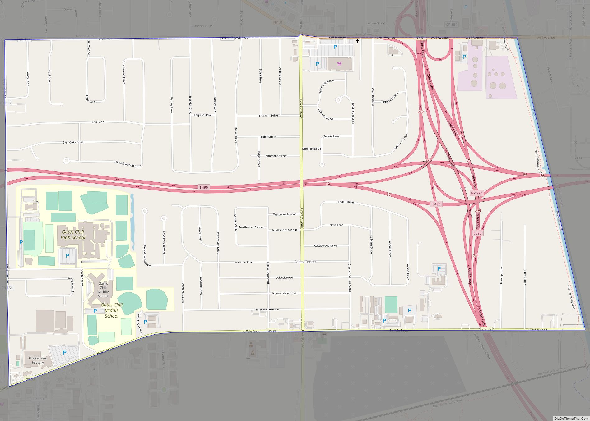
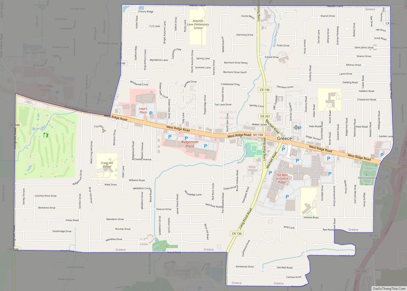
Online Interactive Map
Click on ![]() to view map in "full screen" mode.
to view map in "full screen" mode.
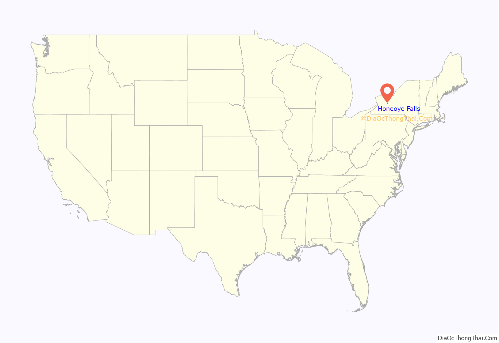
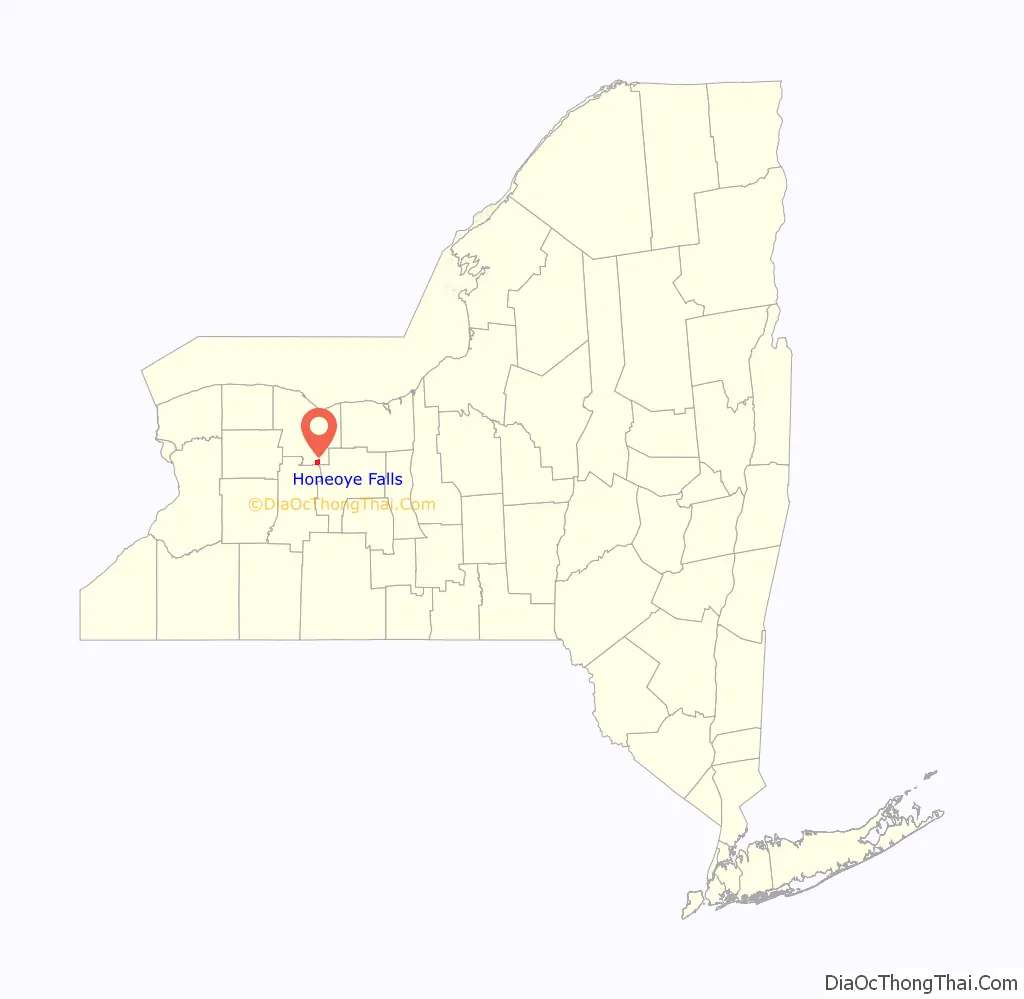
Honeoye Falls location map. Where is Honeoye Falls village?
History
The village was founded in 1791 by Zebulon Norton when he purchased 1,820 acres (7.4 km) of land for the price of 12½ cents per acre. He built a grist mill and later a saw mill, at a waterfall on Honeoye Creek. The area was originally known as Norton Mills. In 1827, Hiram Finch built a second mill, which would come to be called the Lower Mill to differentiate it from the earlier mill. On May 17, 1973, the Lower Mill was listed on the National Register of Historic Places. The Honeoye Falls Village Historic District, St. John’s Episcopal Church, Totiakton Site, and United States Post Office are also listed on the National Register of Historic Places.
Honeoye Falls experienced an epidemic of scarlet fever in April 1893.
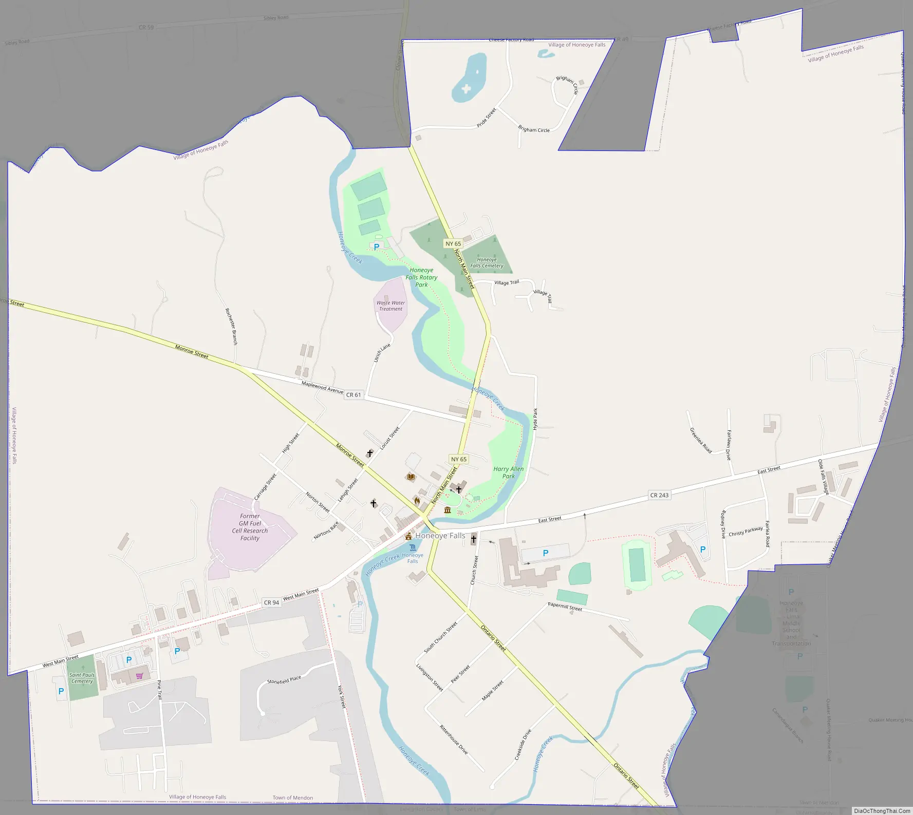
Honeoye Falls Road Map
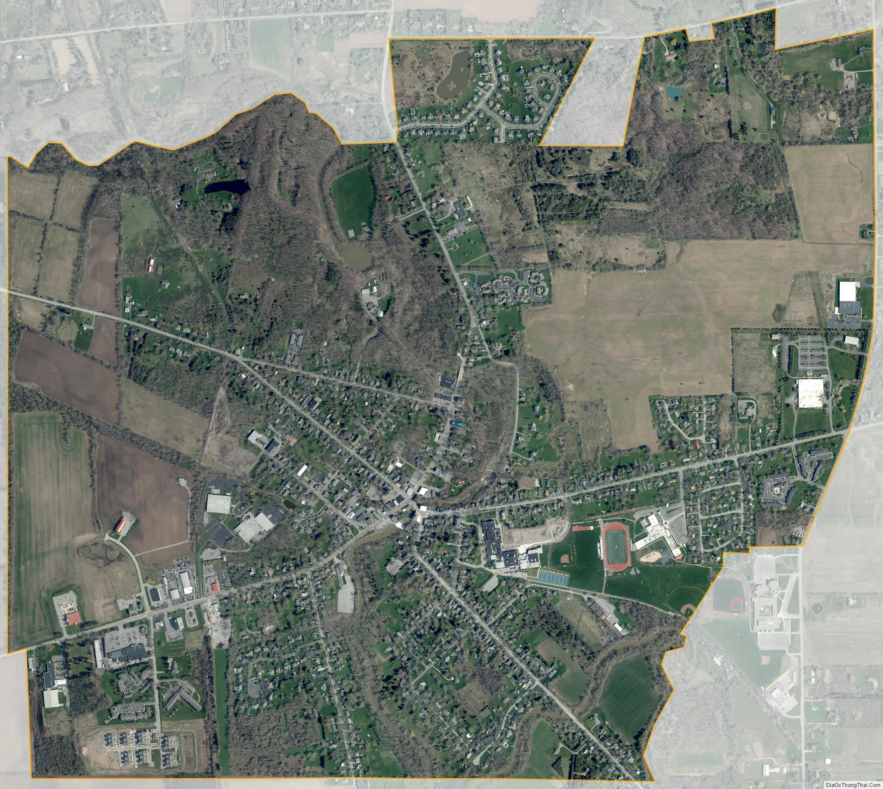
Honeoye Falls city Satellite Map
Geography
The village is located on the falls of Honeoye Creek. It is the primary outlet of Honeoye Lake.
Honeoye Falls is located at 42°57′23″N 77°35′14″W / 42.95639°N 77.58722°W / 42.95639; -77.58722 (42.956331, −77.587353). The village is in the most southeastern corner of Monroe County, approximately 13 miles outside of the City of Rochester.
According to the United States Census Bureau, the village has a total area of 2.6 square miles (6.7 km).
See also
Map of New York State and its subdivision:- Albany
- Allegany
- Bronx
- Broome
- Cattaraugus
- Cayuga
- Chautauqua
- Chemung
- Chenango
- Clinton
- Columbia
- Cortland
- Delaware
- Dutchess
- Erie
- Essex
- Franklin
- Fulton
- Genesee
- Greene
- Hamilton
- Herkimer
- Jefferson
- Kings
- Lake Ontario
- Lewis
- Livingston
- Madison
- Monroe
- Montgomery
- Nassau
- New York
- Niagara
- Oneida
- Onondaga
- Ontario
- Orange
- Orleans
- Oswego
- Otsego
- Putnam
- Queens
- Rensselaer
- Richmond
- Rockland
- Saint Lawrence
- Saratoga
- Schenectady
- Schoharie
- Schuyler
- Seneca
- Steuben
- Suffolk
- Sullivan
- Tioga
- Tompkins
- Ulster
- Warren
- Washington
- Wayne
- Westchester
- Wyoming
- Yates
- Alabama
- Alaska
- Arizona
- Arkansas
- California
- Colorado
- Connecticut
- Delaware
- District of Columbia
- Florida
- Georgia
- Hawaii
- Idaho
- Illinois
- Indiana
- Iowa
- Kansas
- Kentucky
- Louisiana
- Maine
- Maryland
- Massachusetts
- Michigan
- Minnesota
- Mississippi
- Missouri
- Montana
- Nebraska
- Nevada
- New Hampshire
- New Jersey
- New Mexico
- New York
- North Carolina
- North Dakota
- Ohio
- Oklahoma
- Oregon
- Pennsylvania
- Rhode Island
- South Carolina
- South Dakota
- Tennessee
- Texas
- Utah
- Vermont
- Virginia
- Washington
- West Virginia
- Wisconsin
- Wyoming