Huntington is a hamlet and census-designated place (CDP) located within the Town of Huntington in Suffolk County, on the North Shore of Long Island, in New York, United States. The population was 18,406 at the 2010 census. The hamlet serves as the Town Seat of the Town of Huntington.
The hamlet’s central business district, known locally as Huntington Village, is old and well developed, but it is not incorporated and does not have a village form of government.
| Name: | Huntington CDP |
|---|---|
| LSAD Code: | 57 |
| LSAD Description: | CDP (suffix) |
| State: | New York |
| County: | Suffolk County |
| Elevation: | 75 ft (23 m) |
| Total Area: | 7.79 sq mi (20.18 km²) |
| Land Area: | 7.64 sq mi (19.79 km²) |
| Water Area: | 0.15 sq mi (0.39 km²) |
| Total Population: | 19,645 |
| Population Density: | 2,571.34/sq mi (992.82/km²) |
| ZIP code: | 11743 |
| Area code: | 631, 934 |
| FIPS code: | 3636233 |
| GNISfeature ID: | 0953488 |
Online Interactive Map
Click on ![]() to view map in "full screen" mode.
to view map in "full screen" mode.
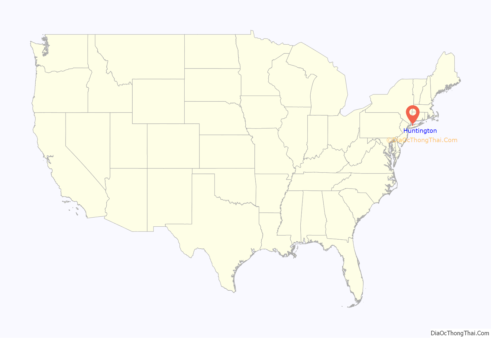
Huntington location map. Where is Huntington CDP?
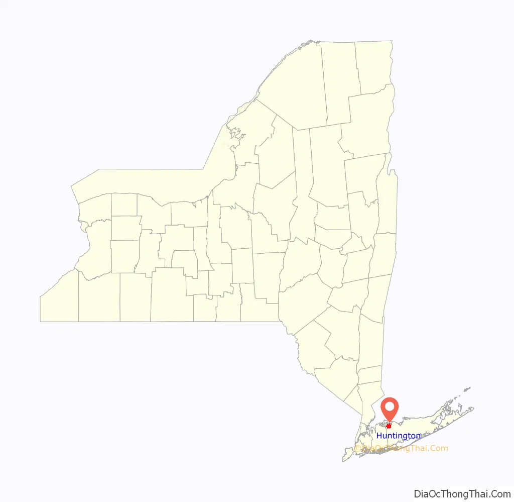
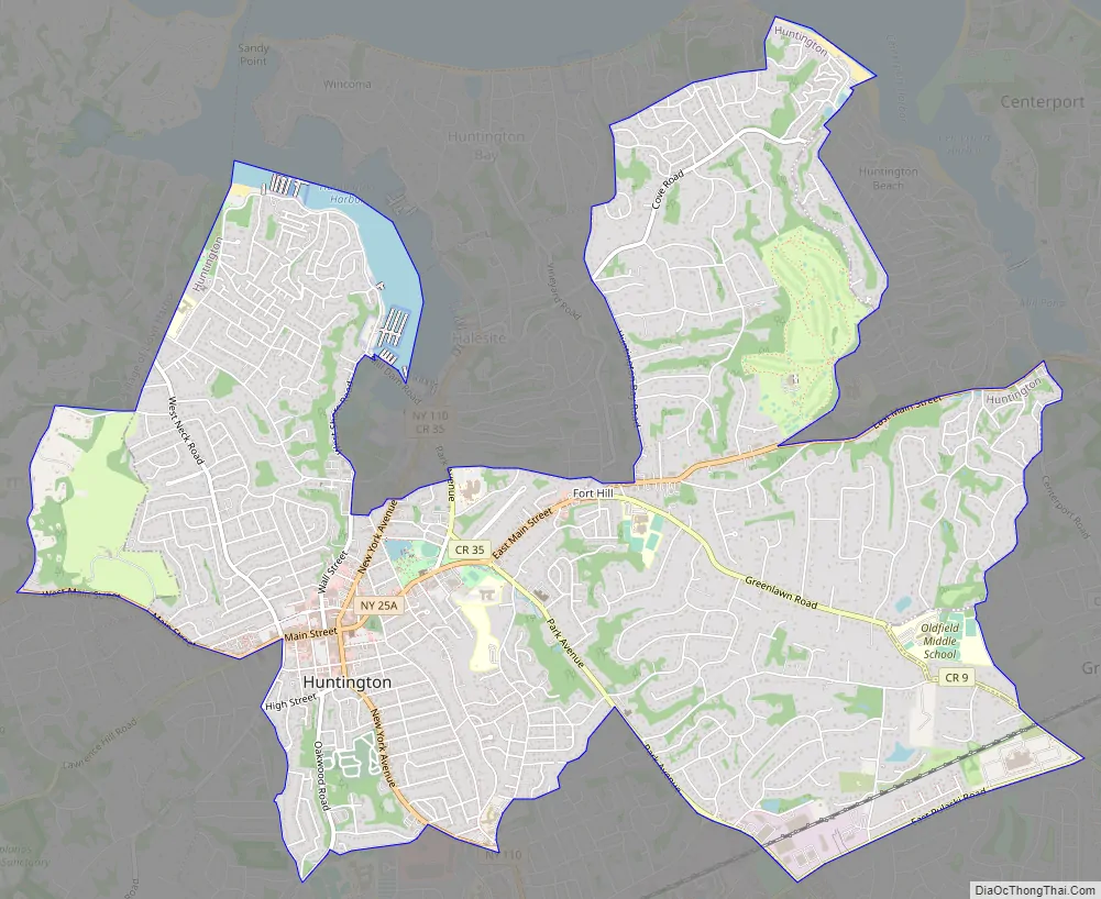
Huntington Road Map
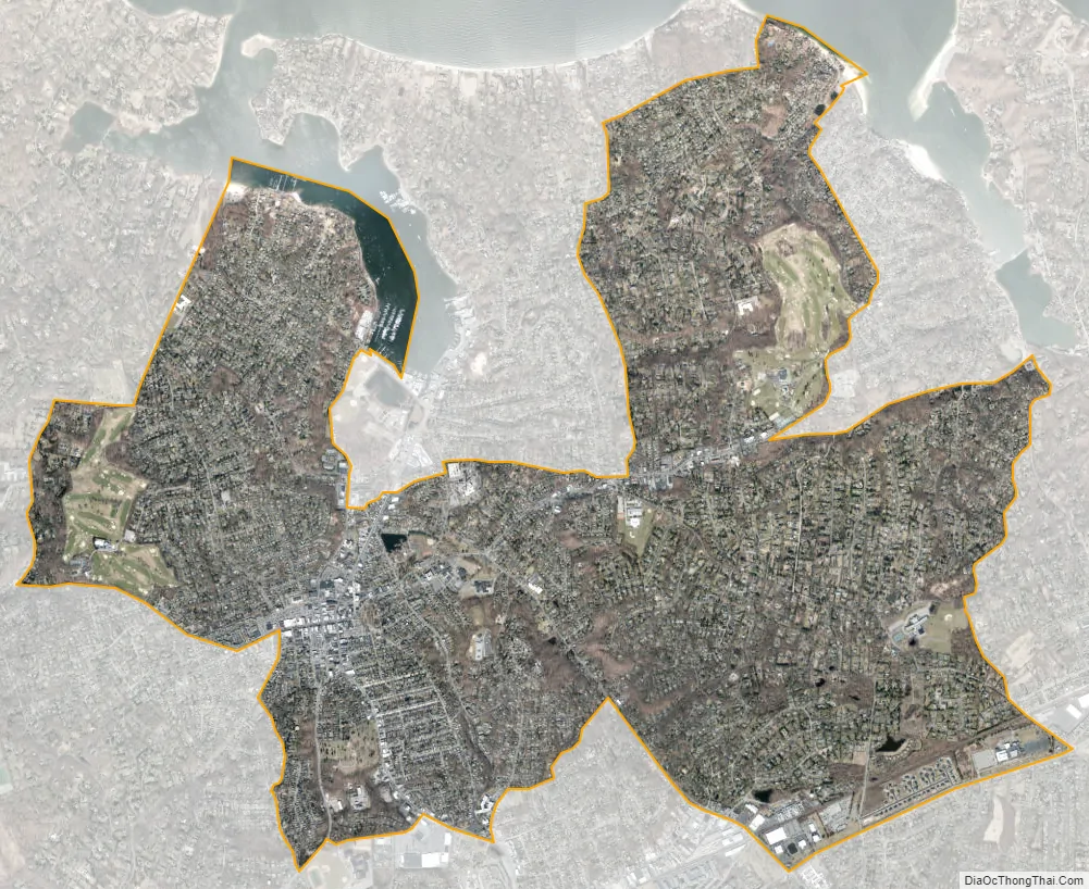
Huntington city Satellite Map
Geography
According to the United States Census Bureau, the CDP has a total area of 7.7 square miles (19.9 km), of which 7.5 square miles (19.5 km) is land and 0.1 square mile (0.4 km) (1.82%) is water.
The hamlet of Huntington is located 37 miles (59 km) northeast of Midtown Manhattan.
See also
Map of New York State and its subdivision:- Albany
- Allegany
- Bronx
- Broome
- Cattaraugus
- Cayuga
- Chautauqua
- Chemung
- Chenango
- Clinton
- Columbia
- Cortland
- Delaware
- Dutchess
- Erie
- Essex
- Franklin
- Fulton
- Genesee
- Greene
- Hamilton
- Herkimer
- Jefferson
- Kings
- Lake Ontario
- Lewis
- Livingston
- Madison
- Monroe
- Montgomery
- Nassau
- New York
- Niagara
- Oneida
- Onondaga
- Ontario
- Orange
- Orleans
- Oswego
- Otsego
- Putnam
- Queens
- Rensselaer
- Richmond
- Rockland
- Saint Lawrence
- Saratoga
- Schenectady
- Schoharie
- Schuyler
- Seneca
- Steuben
- Suffolk
- Sullivan
- Tioga
- Tompkins
- Ulster
- Warren
- Washington
- Wayne
- Westchester
- Wyoming
- Yates
- Alabama
- Alaska
- Arizona
- Arkansas
- California
- Colorado
- Connecticut
- Delaware
- District of Columbia
- Florida
- Georgia
- Hawaii
- Idaho
- Illinois
- Indiana
- Iowa
- Kansas
- Kentucky
- Louisiana
- Maine
- Maryland
- Massachusetts
- Michigan
- Minnesota
- Mississippi
- Missouri
- Montana
- Nebraska
- Nevada
- New Hampshire
- New Jersey
- New Mexico
- New York
- North Carolina
- North Dakota
- Ohio
- Oklahoma
- Oregon
- Pennsylvania
- Rhode Island
- South Carolina
- South Dakota
- Tennessee
- Texas
- Utah
- Vermont
- Virginia
- Washington
- West Virginia
- Wisconsin
- Wyoming


