Huntington Station is a hamlet and census-designated place (CDP) in the Town of Huntington in Suffolk County, on Long Island, in New York, in the United States. The population was reported as 34,878 with the 2020 census.
| Name: | Huntington Station CDP |
|---|---|
| LSAD Code: | 57 |
| LSAD Description: | CDP (suffix) |
| State: | New York |
| County: | Suffolk County |
| Elevation: | 217 ft (66 m) |
| Total Area: | 5.48 sq mi (14.19 km²) |
| Land Area: | 5.48 sq mi (14.18 km²) |
| Water Area: | 0.00 sq mi (0.01 km²) |
| Total Population: | 34,878 |
| Population Density: | 6,369.25/sq mi (2,459.38/km²) |
| ZIP code: | 11746, 11747, 11750 |
| Area code: | 631, 934 |
| FIPS code: | 3637044 |
| GNISfeature ID: | 0953500 |
Online Interactive Map
Click on ![]() to view map in "full screen" mode.
to view map in "full screen" mode.
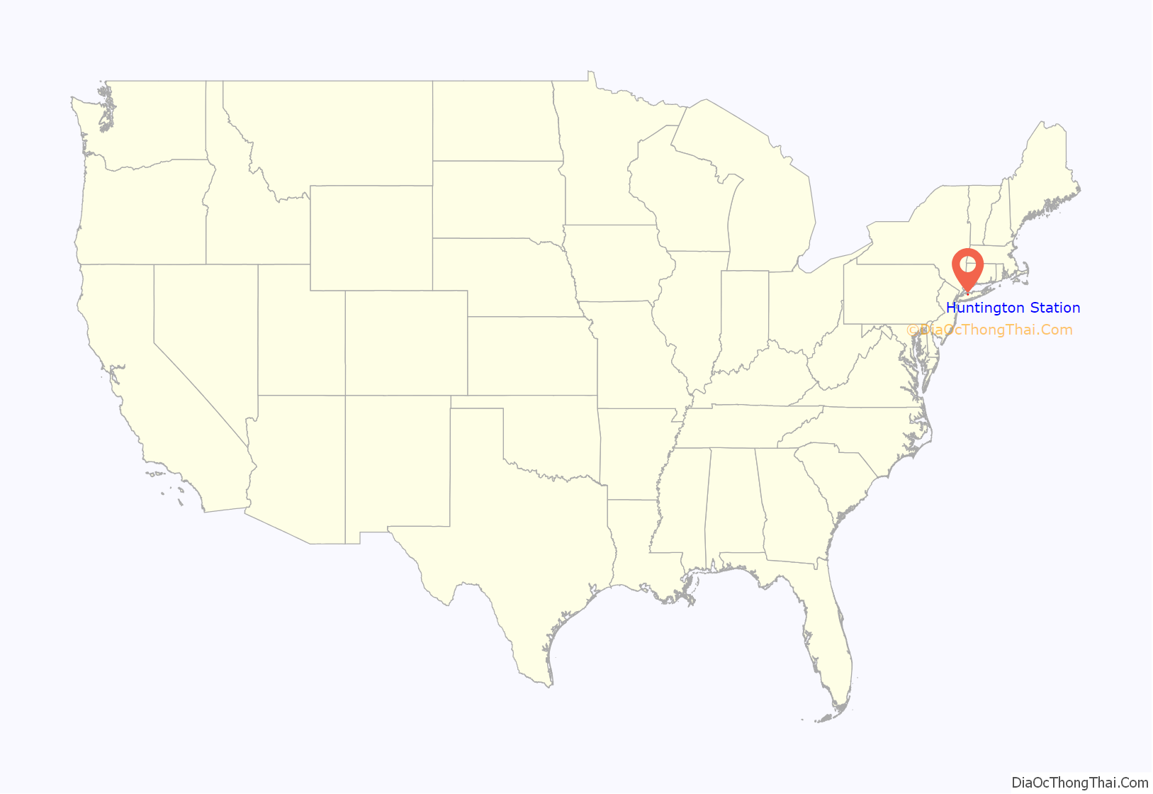
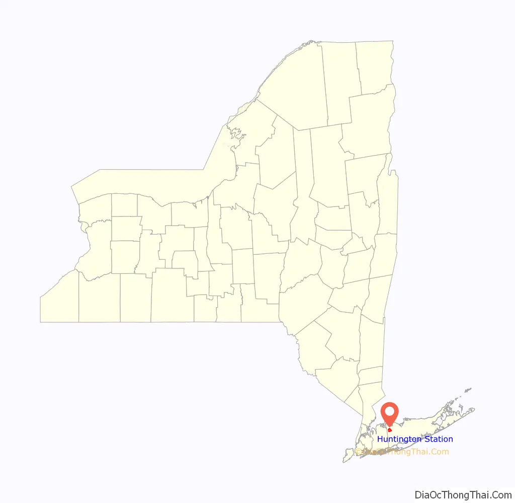
Huntington Station location map. Where is Huntington Station CDP?
History
The hamlet was named for its railroad station, and was originally known as “Fairground”.
Huntington Station was the birthplace of poet Walt Whitman. His home remains there as a museum.
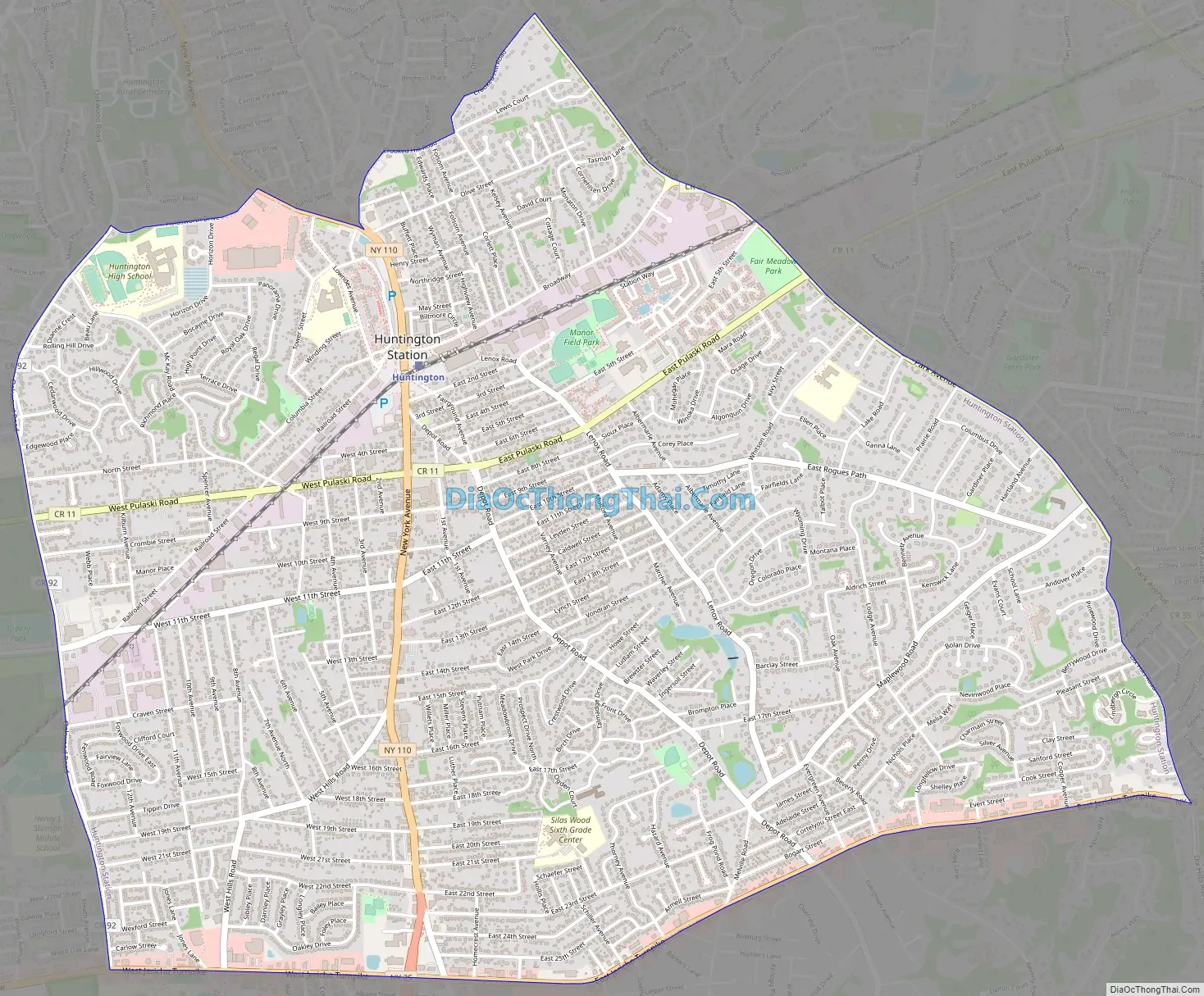
Huntington Station Road Map
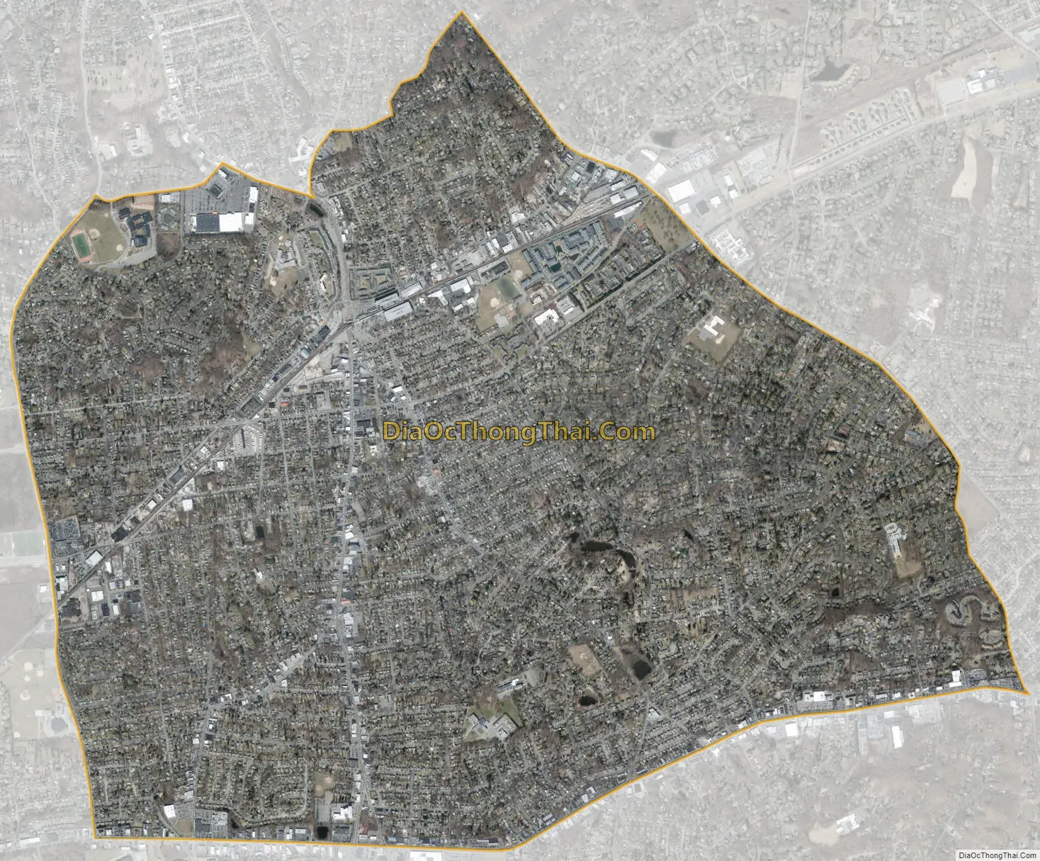
Huntington Station city Satellite Map
Geography
According to the United States Census Bureau, the CDP has a total area of 14.2 square kilometres (5.5 sq mi), all land.
See also
Map of New York State and its subdivision:- Albany
- Allegany
- Bronx
- Broome
- Cattaraugus
- Cayuga
- Chautauqua
- Chemung
- Chenango
- Clinton
- Columbia
- Cortland
- Delaware
- Dutchess
- Erie
- Essex
- Franklin
- Fulton
- Genesee
- Greene
- Hamilton
- Herkimer
- Jefferson
- Kings
- Lake Ontario
- Lewis
- Livingston
- Madison
- Monroe
- Montgomery
- Nassau
- New York
- Niagara
- Oneida
- Onondaga
- Ontario
- Orange
- Orleans
- Oswego
- Otsego
- Putnam
- Queens
- Rensselaer
- Richmond
- Rockland
- Saint Lawrence
- Saratoga
- Schenectady
- Schoharie
- Schuyler
- Seneca
- Steuben
- Suffolk
- Sullivan
- Tioga
- Tompkins
- Ulster
- Warren
- Washington
- Wayne
- Westchester
- Wyoming
- Yates
- Alabama
- Alaska
- Arizona
- Arkansas
- California
- Colorado
- Connecticut
- Delaware
- District of Columbia
- Florida
- Georgia
- Hawaii
- Idaho
- Illinois
- Indiana
- Iowa
- Kansas
- Kentucky
- Louisiana
- Maine
- Maryland
- Massachusetts
- Michigan
- Minnesota
- Mississippi
- Missouri
- Montana
- Nebraska
- Nevada
- New Hampshire
- New Jersey
- New Mexico
- New York
- North Carolina
- North Dakota
- Ohio
- Oklahoma
- Oregon
- Pennsylvania
- Rhode Island
- South Carolina
- South Dakota
- Tennessee
- Texas
- Utah
- Vermont
- Virginia
- Washington
- West Virginia
- Wisconsin
- Wyoming


