Irondequoit /ɪˈrɒndəkɔɪt/ is a town (and census-designated place) in Monroe County, New York, United States. As of 2019, the coterminous town-CDP had a total population of 50,055. Irondequoit is a suburb of the city of Rochester, lying just north and east of the city limits. The name is of Iroquois origin and means “where the land meets the water”.
| Name: | Irondequoit CDP |
|---|---|
| LSAD Code: | 57 |
| LSAD Description: | CDP (suffix) |
| State: | New York |
| County: | Monroe County |
| Founded: | March 27, 1839; 184 years ago (1839-03-27) |
| Elevation: | 368 ft (112 m) |
| Total Area: | 16.82 sq mi (43.57 km²) |
| Land Area: | 14.99 sq mi (38.82 km²) |
| Water Area: | 1.83 sq mi (4.75 km²) |
| Total Population: | 51,692 |
| Population Density: | 3,372.65/sq mi (1,302.15/km²) |
| ZIP code: | 14609, 14617, 14621, 14622 |
| Area code: | 585 |
| FIPS code: | 3637737 |
| Website: | http://www.irondequoit.org/ |
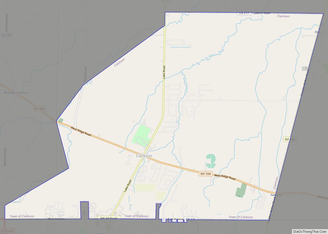
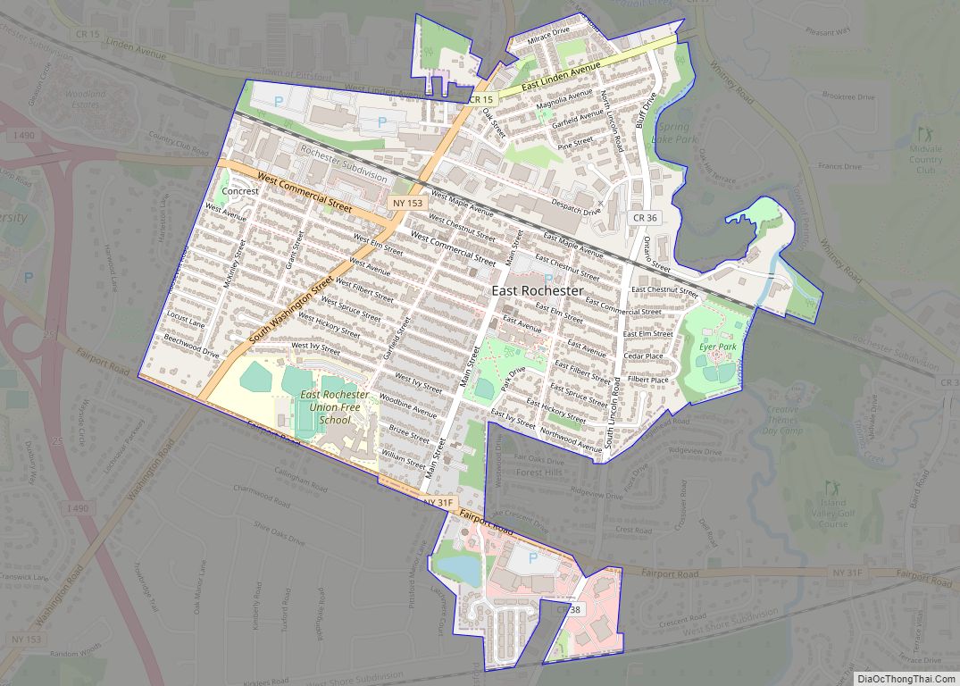
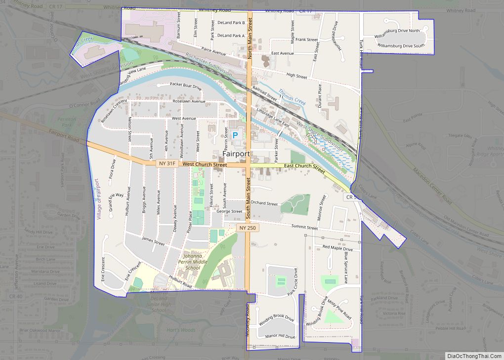
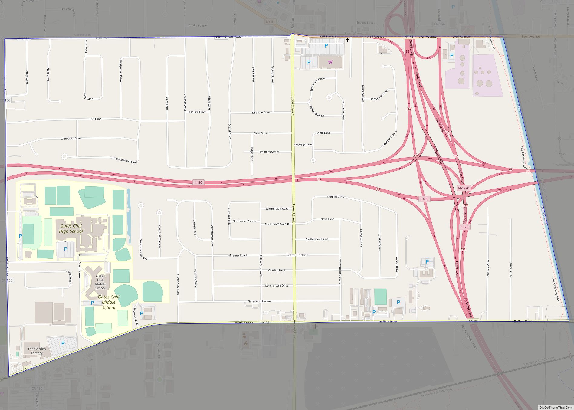
Online Interactive Map
Click on ![]() to view map in "full screen" mode.
to view map in "full screen" mode.
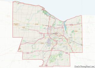
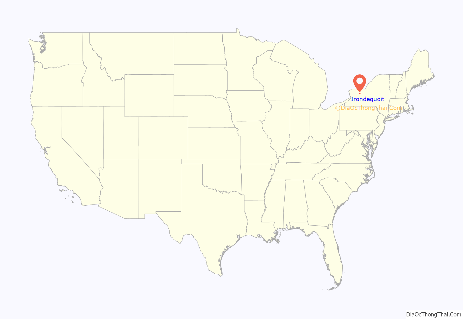
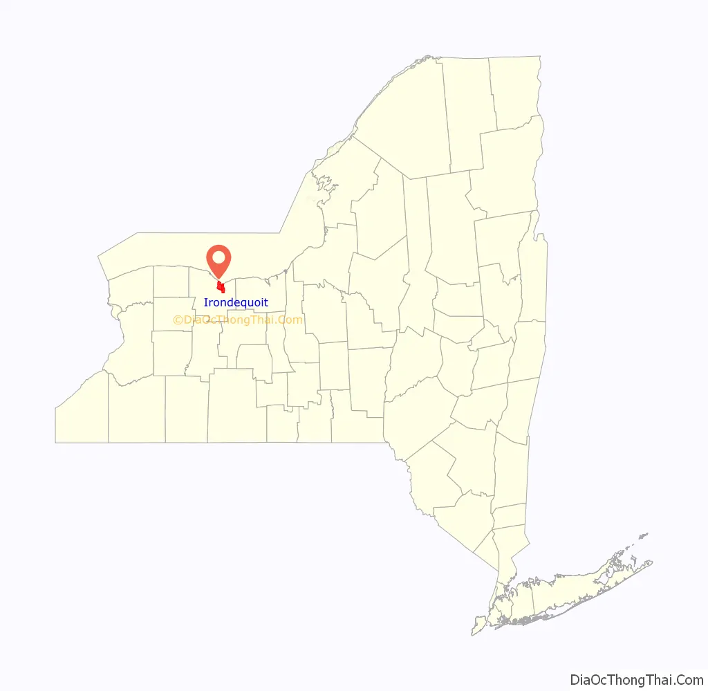
Irondequoit location map. Where is Irondequoit CDP?
History
In 1687 Marquis de Denonville led an army of French soldiers and Huron warriors on a punitive expedition against the Iroquois through Irondequoit Bay, beginning the long enmity between the Iroquois and the French.
After the American Revolution, this area was part of the Phelps and Gorham Purchase. The Town of Irondequoit was founded in 1839 when it separated from the Town of Brighton.
During the last part of the 19th century, the north edge of the town was developed as a tourist and vacation area for the City of Rochester residents, and was once known as the “Coney Island of Western New York.”
After World War II, Irondequoit experienced significant population growth, with returning veterans looking for housing. Irondequoit became the first suburb in Monroe County to see substantial migration of residents from the City of Rochester, with the population growing from 23,376 in 1940 to 55,337 in 1960, a remarkable 136% increase. Irondequoit remained the most-populated suburb in Monroe County until the 1970s, when it was surpassed by the Town of Greece, a community with three times the land area of Irondequoit.
In 1965, Irondequoit became part of civil rights history by being part of the first totally voluntary desegregation program in U.S. history. The Urban Suburban Interdistrict Transfer Program, which still operates today, was begun with 25 first graders from the inner city of Rochester who embarked on their K-12 education in the West Irondequoit school district. Ultimately, 15 of the original 25 students graduated together in 1977 as part of the first graduating class ever to go through a full 12 years of voluntary desegregation. The achievement was acknowledged in a letter from the White House and a notation in the U.S. Congressional Record. The program has continued to expand and now includes additional suburban districts that are part of the Rochester metropolitan area.
In 1991, Irondequoit established a sister city relationship with Poltava, in Ukraine. Poltava is an Eastern Ukrainian city once known as “the Soul of Ukraine”. The initiative was spearheaded by Irondequoit Town Supervisor Fred Lapple. His appointed Committe Chair, Tamara Denysenko, identified Poltava, Ukraine as Irondequoit’s chosen Sister City. This was supported by the larger Ukrainian community in Irondequoit, including Bogdan Khomiakov, a small business owner living in Irondequoit whose father had immigrated from Poltava.
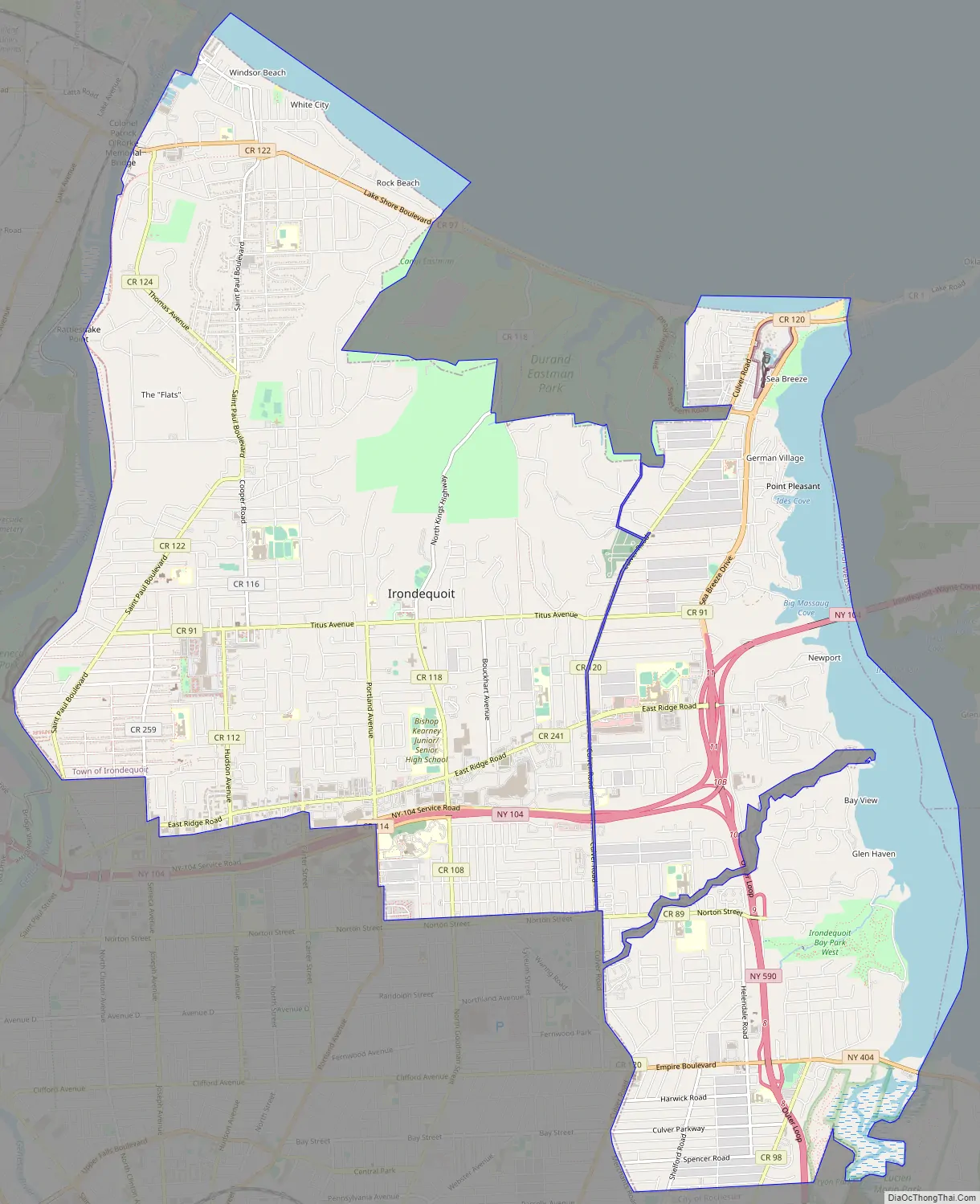
Irondequoit Road Map
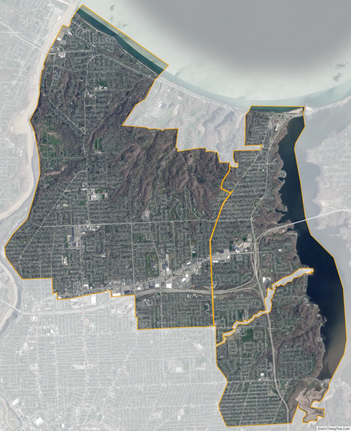
Irondequoit city Satellite Map
Geography
According to the United States Census Bureau, the town has a total area of 16.8 sq mi (44 km), of which 15.2 sq mi (39 km) is land and 1.6 sq mi (4.1 km) (9.69%) is water.
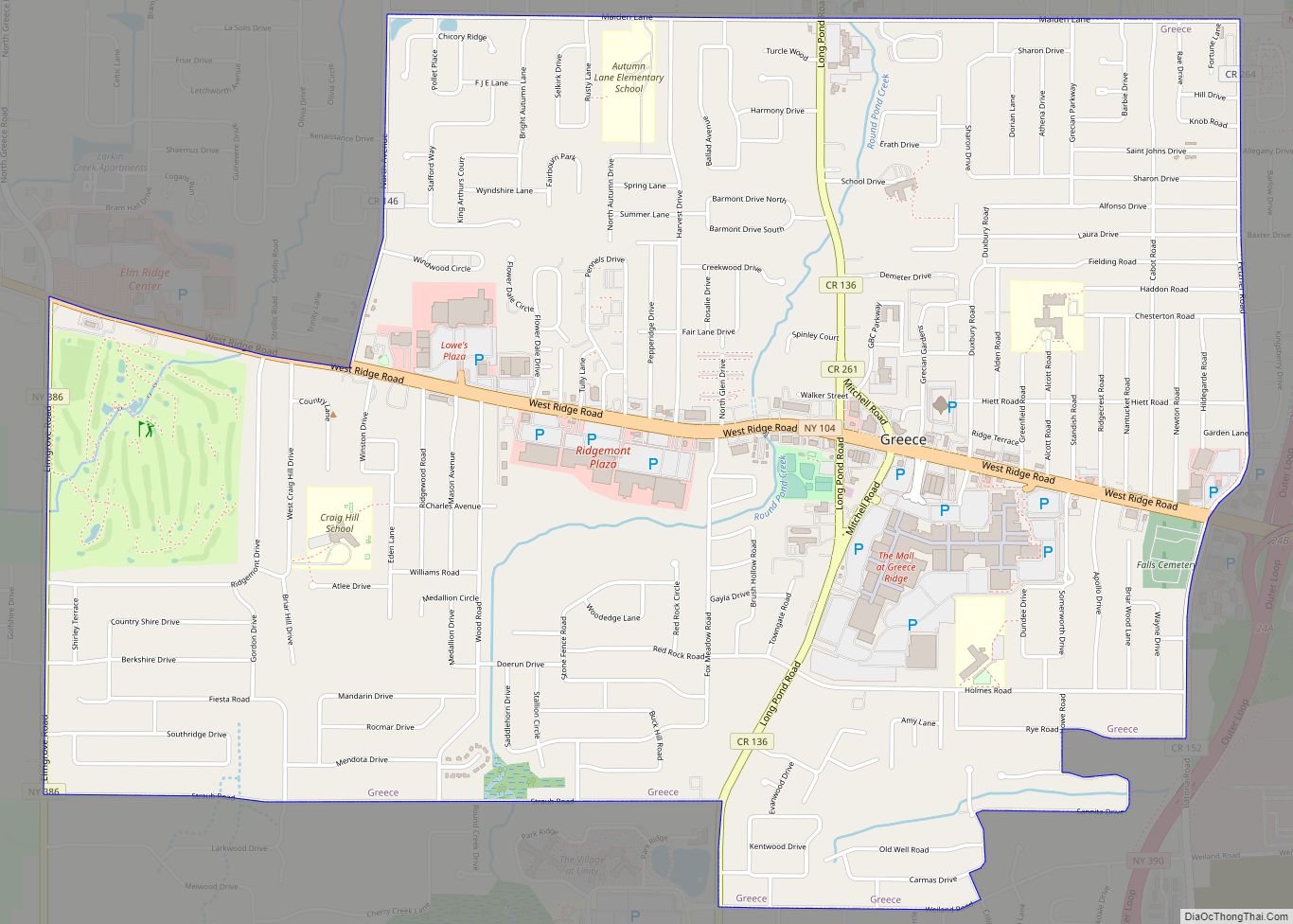
The town lies between the Genesee River on the west and Irondequoit Bay on the east. The north border of the town is defined by the shoreline of Lake Ontario. Because it is bounded by water on three sides, it is considered a geographical headland. Irondequoit is bordered by the city of Rochester to the west and south, the town of Brighton southeast, and the towns of Webster and Penfield to the east.
An unusual boundary exists between the Town of Irondequoit and the adjacent City of Rochester. On the western border of Irondequoit, the city claims a thin strip that extends northward along the banks of the river from Seneca Park to Lake Ontario, at some points less than 50 yards (46 m) from the shore. The result is that the City of Rochester claims the entire eastern shore of the Genesee, and the border of the Town of Irondequoit never reaches the river.
Similarly, the northern half of Durand-Eastman Park (including Durand Beach) lies within the city’s borders, along with a narrow strip running along Culver Road for approximately 5 miles (8.0 km) southward to Norton Street. This leads to much confusion, even among long-term residents, about whether places such as Seneca Park or Durand Park lie within the Town of Irondequoit or the City of Rochester. Seneca Park was annexed by the City of Rochester in 1891, and Durand Eastman Park was given to the city in 1908.
See also
Map of New York State and its subdivision:- Albany
- Allegany
- Bronx
- Broome
- Cattaraugus
- Cayuga
- Chautauqua
- Chemung
- Chenango
- Clinton
- Columbia
- Cortland
- Delaware
- Dutchess
- Erie
- Essex
- Franklin
- Fulton
- Genesee
- Greene
- Hamilton
- Herkimer
- Jefferson
- Kings
- Lake Ontario
- Lewis
- Livingston
- Madison
- Monroe
- Montgomery
- Nassau
- New York
- Niagara
- Oneida
- Onondaga
- Ontario
- Orange
- Orleans
- Oswego
- Otsego
- Putnam
- Queens
- Rensselaer
- Richmond
- Rockland
- Saint Lawrence
- Saratoga
- Schenectady
- Schoharie
- Schuyler
- Seneca
- Steuben
- Suffolk
- Sullivan
- Tioga
- Tompkins
- Ulster
- Warren
- Washington
- Wayne
- Westchester
- Wyoming
- Yates
- Alabama
- Alaska
- Arizona
- Arkansas
- California
- Colorado
- Connecticut
- Delaware
- District of Columbia
- Florida
- Georgia
- Hawaii
- Idaho
- Illinois
- Indiana
- Iowa
- Kansas
- Kentucky
- Louisiana
- Maine
- Maryland
- Massachusetts
- Michigan
- Minnesota
- Mississippi
- Missouri
- Montana
- Nebraska
- Nevada
- New Hampshire
- New Jersey
- New Mexico
- New York
- North Carolina
- North Dakota
- Ohio
- Oklahoma
- Oregon
- Pennsylvania
- Rhode Island
- South Carolina
- South Dakota
- Tennessee
- Texas
- Utah
- Vermont
- Virginia
- Washington
- West Virginia
- Wisconsin
- Wyoming