Jamesport is a village in Riverhead in Suffolk County, New York. A census-designated place population estimate was around 1,710 at the 2010 census.
Jamesport consists of a downtown area and surrounding farms.
Hallock State Park Preserve (previously Jamesport State Park) is located north of Jamesport in the adjacent village of Northville.
| Name: | Jamesport CDP |
|---|---|
| LSAD Code: | 57 |
| LSAD Description: | CDP (suffix) |
| State: | New York |
| County: | Suffolk County |
| Elevation: | 16 ft (5 m) |
| Total Area: | 4.52 sq mi (11.72 km²) |
| Land Area: | 4.50 sq mi (11.65 km²) |
| Water Area: | 0.03 sq mi (0.07 km²) |
| Total Population: | 1,609 |
| Population Density: | 357.87/sq mi (138.16/km²) |
| ZIP code: | 11947 |
| Area code: | 631 |
| FIPS code: | 3638253 |
| GNISfeature ID: | 0953924 |
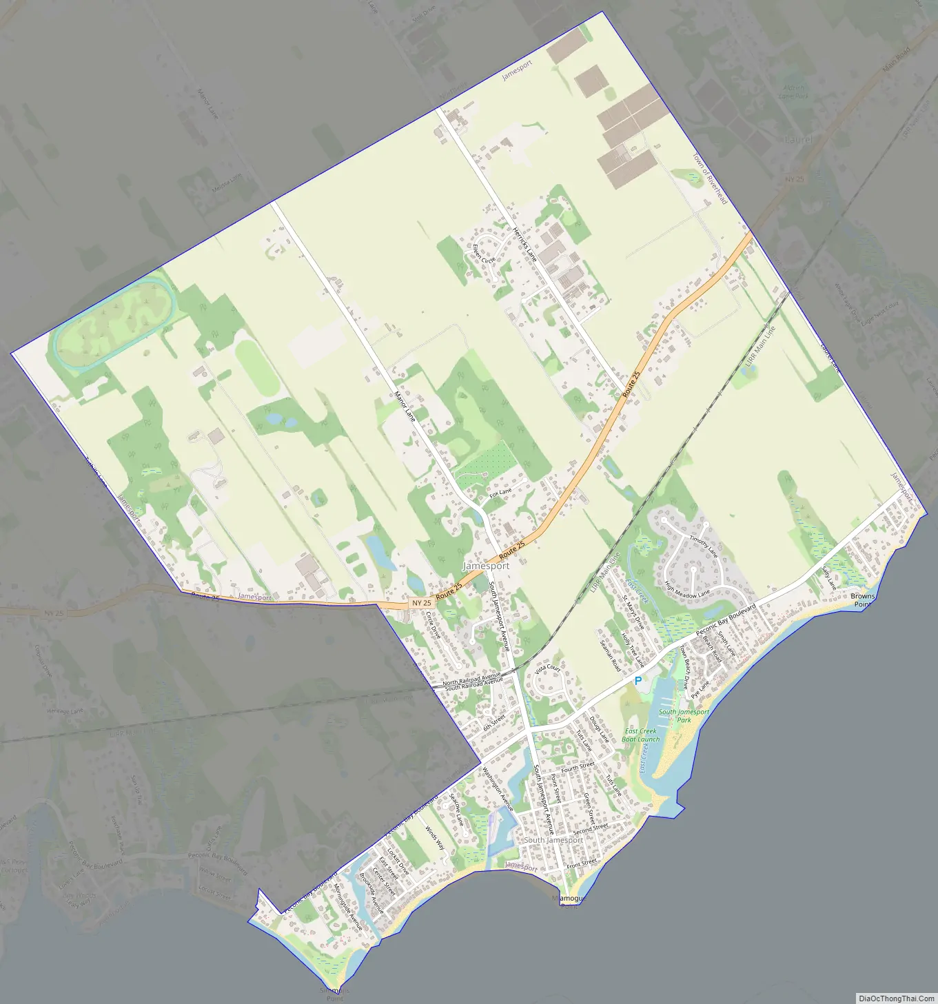
Online Interactive Map
Click on ![]() to view map in "full screen" mode.
to view map in "full screen" mode.
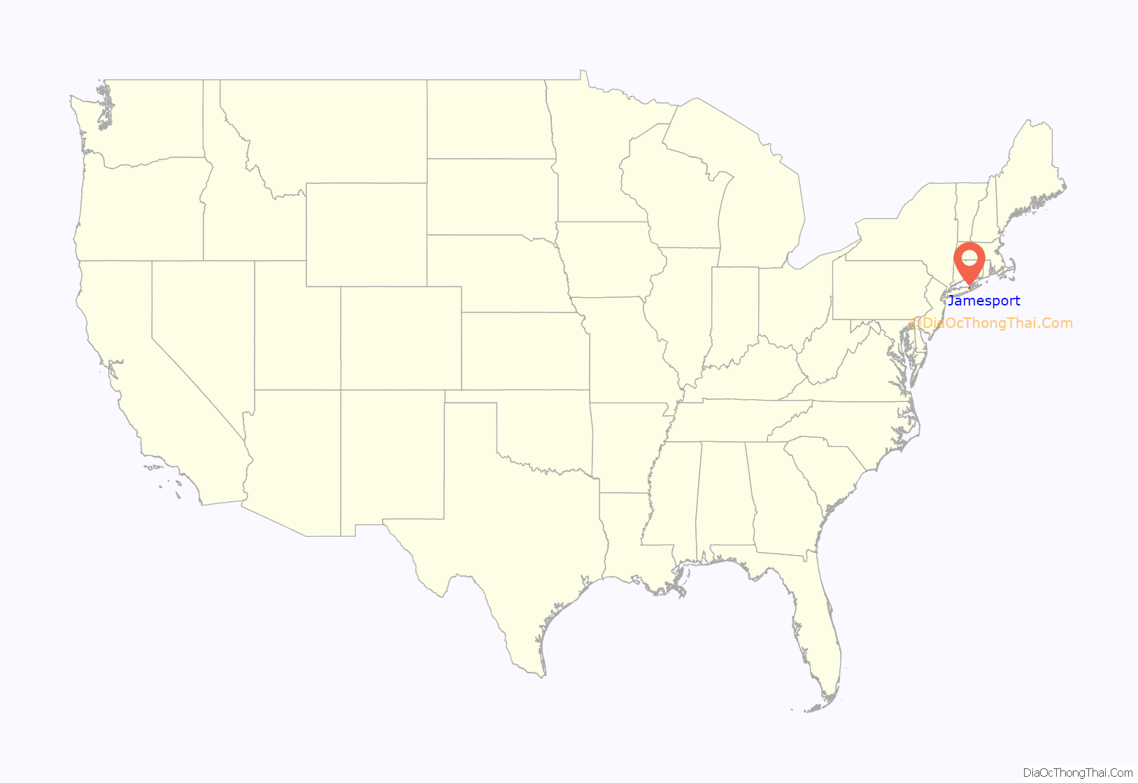
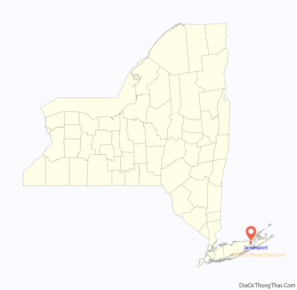
Jamesport location map. Where is Jamesport CDP?
History
Jamesport was first settled in the 1690s and was originally called “Aquebogue.” It became “Lower Aquebogue” when another hamlet called “Upper Aquebogue” was established to the west. The Jamesport Meeting House, built in 1731, is the oldest operating church building in Suffolk County.
The name “Jamesport” refers to James Tuthill, a man who settled in the area south of Lower Aquebogue on the Peconic Bay with his family in 1833. Over time, Lower Aquebogue came to be called Jamesport, while the community 1 mile (2 km) to the south, previously called Jamesport, came to be called South Jamesport (and is included in the present-day Jamesport CDP). Upper Aquebogue became Aquebogue.
James Tuthill’s attempt to establish a commercial whaling and shipping wharf on the Peconic Bay in what is now South Jamesport was a failure. The depth of water at low tide was too shallow to accommodate ships. However, the Long Island Rail Road established service to Jamesport from New York City, and Jamesport became a popular resort and fishing community with several large bayfront hotels. These included the Miamogue Hotel and the Great Peconic Bay House, which operated until 1952. Jamesport was a center for the scallop and bunker (menhaden) fisheries.
From the 1830s to about 1950, Jamesport was the site of a camp meeting grove operated by the Methodist Episcopal Church and, after 1904, an Epworth League Fresh Air Camp.
During the 1960s, the Long Island Lighting Company (LILCO) designated land on the North Shore of Long Island for use as a possible second nuclear power station, in addition to its Shoreham plant already under construction. However, the Jamesport plan was scrapped when LILCO ran into opposition to Shoreham in the 1970s and 1980s.
Jamesport Road Map
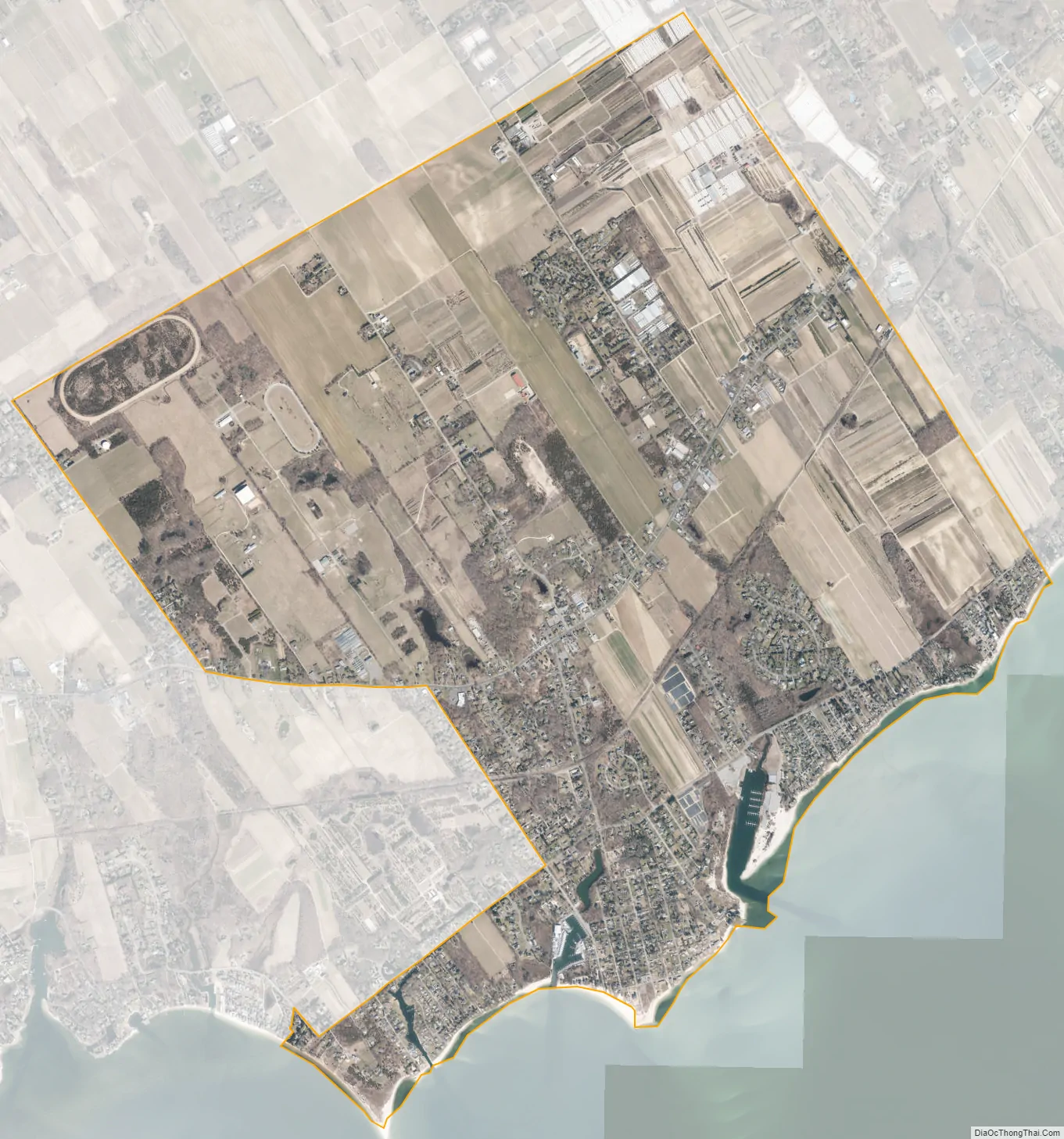
Jamesport city Satellite Map
Geography
The United States Census Bureau estimated that Jamesport had a total area of 4.5 square miles (11.7 km), of which 4.5 square miles (11.6 km) was made out of land and 0.039 square miles (0.1 km), or 0.60%, was made out of water.
See also
Map of New York State and its subdivision:- Albany
- Allegany
- Bronx
- Broome
- Cattaraugus
- Cayuga
- Chautauqua
- Chemung
- Chenango
- Clinton
- Columbia
- Cortland
- Delaware
- Dutchess
- Erie
- Essex
- Franklin
- Fulton
- Genesee
- Greene
- Hamilton
- Herkimer
- Jefferson
- Kings
- Lake Ontario
- Lewis
- Livingston
- Madison
- Monroe
- Montgomery
- Nassau
- New York
- Niagara
- Oneida
- Onondaga
- Ontario
- Orange
- Orleans
- Oswego
- Otsego
- Putnam
- Queens
- Rensselaer
- Richmond
- Rockland
- Saint Lawrence
- Saratoga
- Schenectady
- Schoharie
- Schuyler
- Seneca
- Steuben
- Suffolk
- Sullivan
- Tioga
- Tompkins
- Ulster
- Warren
- Washington
- Wayne
- Westchester
- Wyoming
- Yates
- Alabama
- Alaska
- Arizona
- Arkansas
- California
- Colorado
- Connecticut
- Delaware
- District of Columbia
- Florida
- Georgia
- Hawaii
- Idaho
- Illinois
- Indiana
- Iowa
- Kansas
- Kentucky
- Louisiana
- Maine
- Maryland
- Massachusetts
- Michigan
- Minnesota
- Mississippi
- Missouri
- Montana
- Nebraska
- Nevada
- New Hampshire
- New Jersey
- New Mexico
- New York
- North Carolina
- North Dakota
- Ohio
- Oklahoma
- Oregon
- Pennsylvania
- Rhode Island
- South Carolina
- South Dakota
- Tennessee
- Texas
- Utah
- Vermont
- Virginia
- Washington
- West Virginia
- Wisconsin
- Wyoming


