Kenmore is a village in Erie County, New York, United States. The population was 15,423 at the 2010 census. It is part of the Buffalo–Niagara Falls metropolitan area.
Kenmore is in the south part of the town of Tonawanda, and together with the town it is often referred to as “Ken-Ton”. It is bordered to the south by the city of Buffalo. The village is in the northwest part of Erie County.
The village has received accolades: In 2009, the American Planning Association named Kenmore “One of the Top 10 Great Neighborhoods” in the United States. The village is also one of the country’s 100 most densely populated incorporated places. And in 2011, Buffalo Business First named Kenmore the highest-rated community in Western New York.
| Name: | Kenmore village |
|---|---|
| LSAD Code: | 47 |
| LSAD Description: | village (suffix) |
| State: | New York |
| County: | Erie County |
| Elevation: | 614 ft (187 m) |
| Total Area: | 1.44 sq mi (3.72 km²) |
| Land Area: | 1.44 sq mi (3.72 km²) |
| Water Area: | 0.00 sq mi (0.00 km²) |
| Total Population: | 15,205 |
| Population Density: | 10,588.44/sq mi (4,088.77/km²) |
| Area code: | 716 |
| FIPS code: | 3639232 |
| GNISfeature ID: | 0954497 |
| Website: | www.villageofkenmore.org |
Online Interactive Map
Click on ![]() to view map in "full screen" mode.
to view map in "full screen" mode.
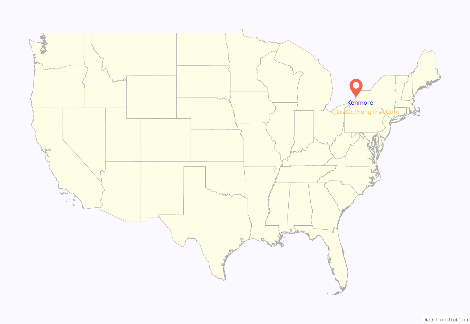
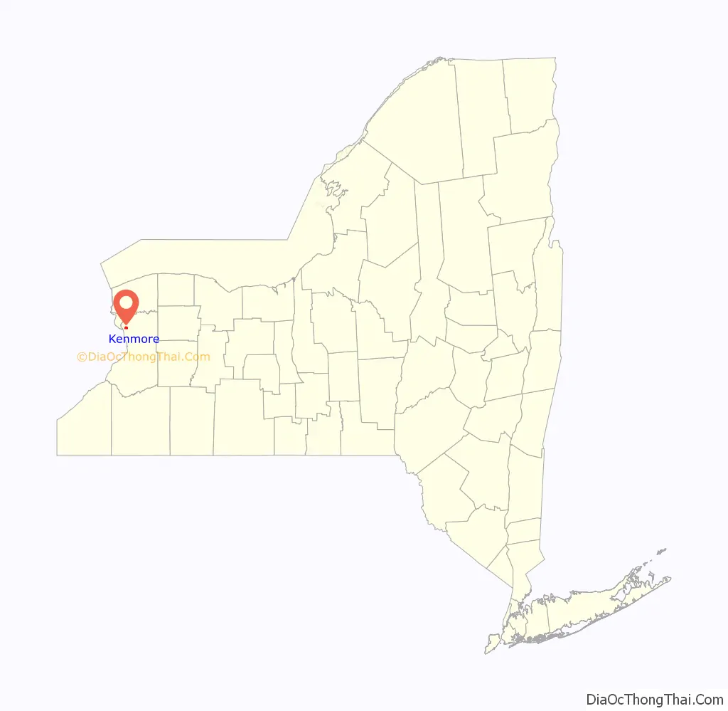
Kenmore location map. Where is Kenmore village?
History
The village of Kenmore was incorporated in 1899 from part of the town of Tonawanda. It is known as “Buffalo‘s First Suburb”.
Louis Eberhardt, known as the “father of Kenmore”, opposed naming the village “Eberhardt” after himself. He was responsible for buying farmland and subdividing the property into a suburban development. The building which is portrayed on the village logo is the Eberhardt Mansion, located at the corner of Delaware Avenue and Kenmore Avenue. It was listed on the National Register of Historic Places in 1983. The Kenmore Village Hall was listed in 2013 as the Tonawanda Municipal Building.
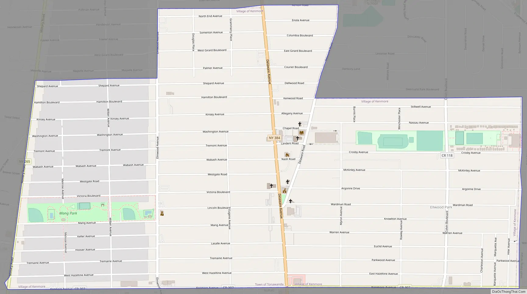
Kenmore Road Map
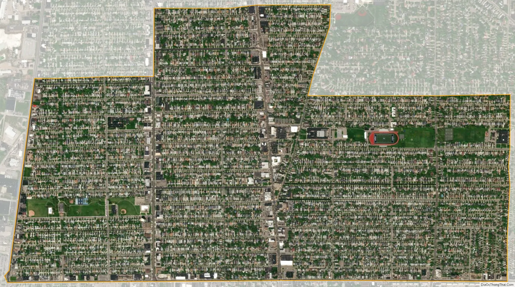
Kenmore city Satellite Map
Geography
Kenmore is located at 42°57′54″N 78°52′18″W / 42.96500°N 78.87167°W / 42.96500; -78.87167 (42.964907, -78.871679).
According to the United States Census Bureau, the village has a total area of 1.4 square miles (3.6 km), all land.
Adjacent cities and towns
- Town of Tonawanda – west, north, east
- Buffalo – south
Major highways
- New York State Route 265 (Military Rd.), north–south roadway that provides the west village line.
- New York State Route 384 (Delaware Ave.), north–south roadway through the village from Tonawanda south into Buffalo.
- Elmwood Avenue (Erie CR 119), important north–south roadway through the village
- Kenmore Avenue (Erie CR 307), east–west roadway that forms the south village line.
See also
Map of New York State and its subdivision:- Albany
- Allegany
- Bronx
- Broome
- Cattaraugus
- Cayuga
- Chautauqua
- Chemung
- Chenango
- Clinton
- Columbia
- Cortland
- Delaware
- Dutchess
- Erie
- Essex
- Franklin
- Fulton
- Genesee
- Greene
- Hamilton
- Herkimer
- Jefferson
- Kings
- Lake Ontario
- Lewis
- Livingston
- Madison
- Monroe
- Montgomery
- Nassau
- New York
- Niagara
- Oneida
- Onondaga
- Ontario
- Orange
- Orleans
- Oswego
- Otsego
- Putnam
- Queens
- Rensselaer
- Richmond
- Rockland
- Saint Lawrence
- Saratoga
- Schenectady
- Schoharie
- Schuyler
- Seneca
- Steuben
- Suffolk
- Sullivan
- Tioga
- Tompkins
- Ulster
- Warren
- Washington
- Wayne
- Westchester
- Wyoming
- Yates
- Alabama
- Alaska
- Arizona
- Arkansas
- California
- Colorado
- Connecticut
- Delaware
- District of Columbia
- Florida
- Georgia
- Hawaii
- Idaho
- Illinois
- Indiana
- Iowa
- Kansas
- Kentucky
- Louisiana
- Maine
- Maryland
- Massachusetts
- Michigan
- Minnesota
- Mississippi
- Missouri
- Montana
- Nebraska
- Nevada
- New Hampshire
- New Jersey
- New Mexico
- New York
- North Carolina
- North Dakota
- Ohio
- Oklahoma
- Oregon
- Pennsylvania
- Rhode Island
- South Carolina
- South Dakota
- Tennessee
- Texas
- Utah
- Vermont
- Virginia
- Washington
- West Virginia
- Wisconsin
- Wyoming