Kings Park is a hamlet and census-designated place (CDP) in the Town of Smithtown, in Suffolk County, on Long Island, in New York, United States. The population was 17,282 as of the 2010 census.
Its relative tranquility prompted it to be the site of the Kings Park Psychiatric Center instead of New York City.
| Name: | Kings Park CDP |
|---|---|
| LSAD Code: | 57 |
| LSAD Description: | CDP (suffix) |
| State: | New York |
| County: | Suffolk County |
| Elevation: | 174 ft (53 m) |
| Total Area: | 7.05 sq mi (18.25 km²) |
| Land Area: | 6.67 sq mi (17.28 km²) |
| Water Area: | 0.38 sq mi (0.97 km²) |
| Total Population: | 17,085 |
| Population Density: | 2,560.70/sq mi (988.74/km²) |
| ZIP code: | 11754 |
| Area code: | 631, 934 |
| FIPS code: | 3639672 |
| GNISfeature ID: | 0954667 |
Online Interactive Map
Click on ![]() to view map in "full screen" mode.
to view map in "full screen" mode.
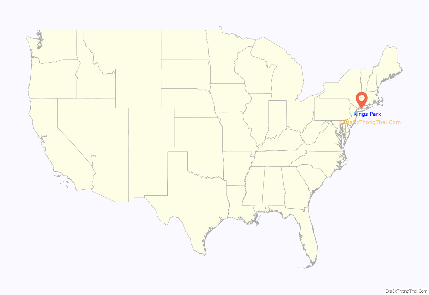
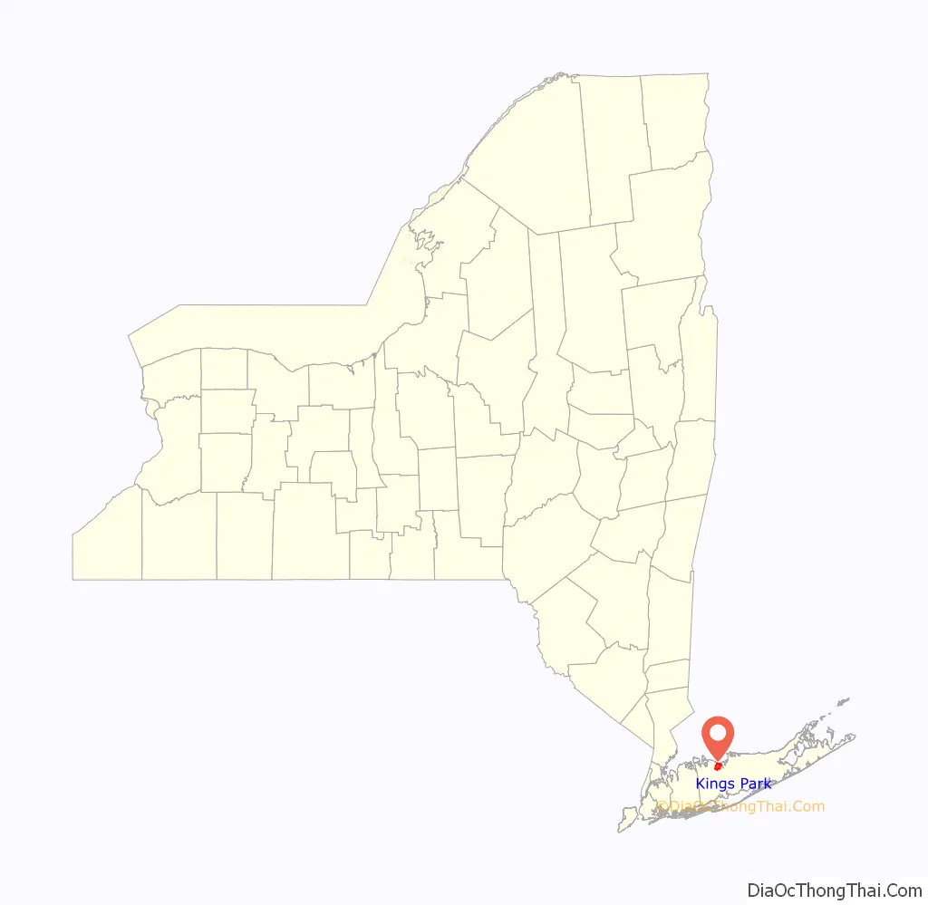
Kings Park location map. Where is Kings Park CDP?
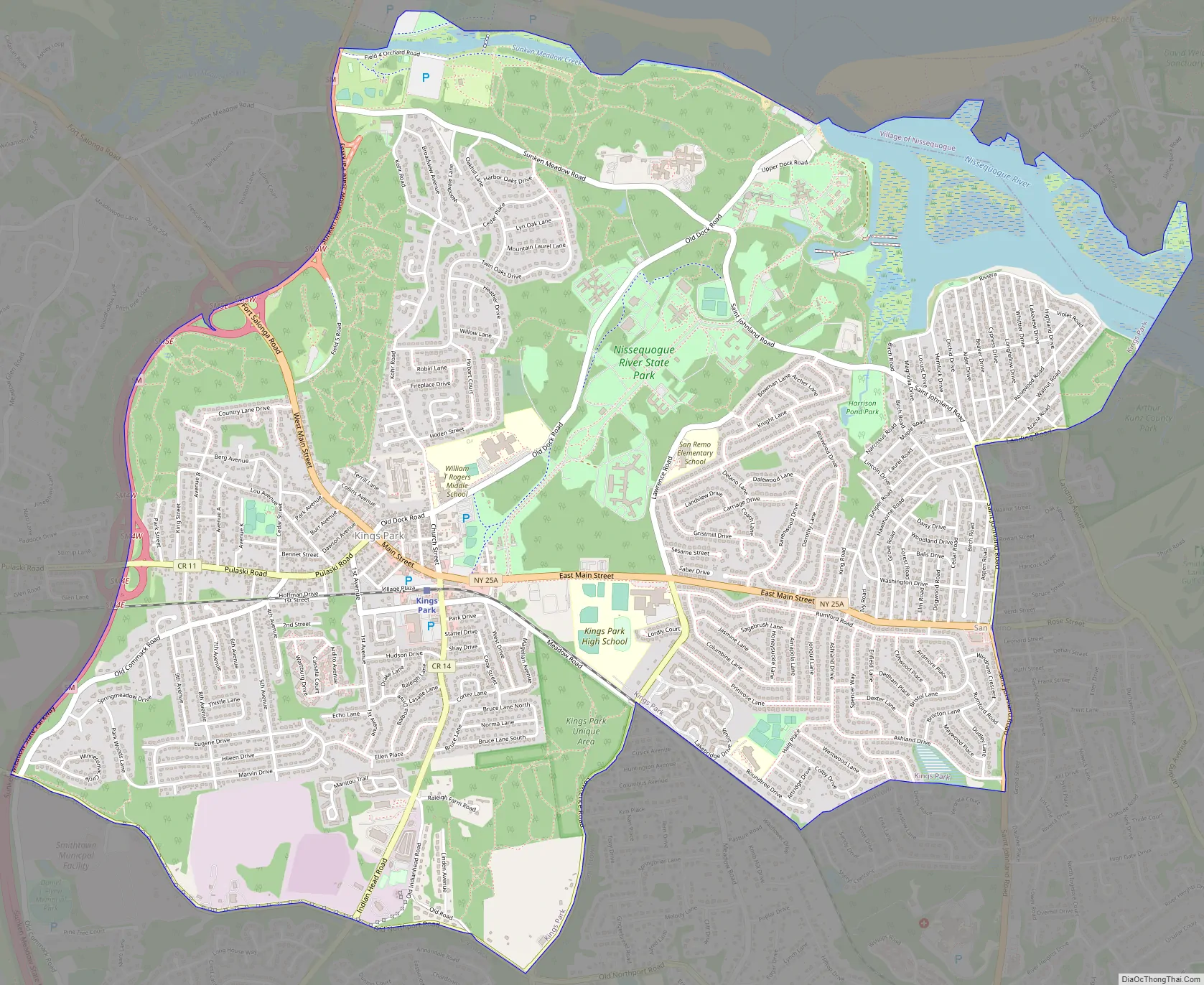
Kings Park Road Map
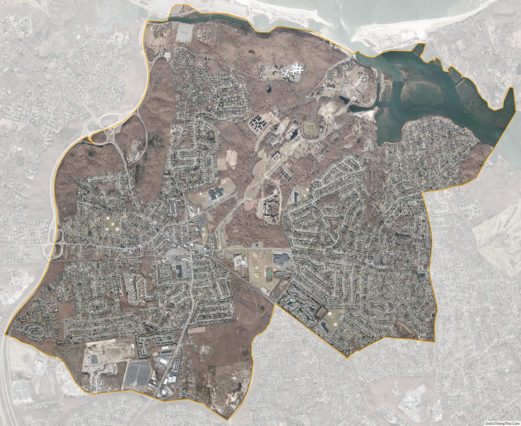
Kings Park city Satellite Map
Geography
According to the United States Census Bureau, the CDP has a total area of 6.6 square miles (17.1 km), of which 6.2 square miles (16.1 km) is land and 0.39 square miles (1.0 km), or 5.93%, is water.
Kings Park is bordered by Nissequogue to its east across the Nissequogue River, by Fort Salonga to its west, by Commack to its southwest, and by the hamlet of Smithtown to its southeast.
See also
Map of New York State and its subdivision:- Albany
- Allegany
- Bronx
- Broome
- Cattaraugus
- Cayuga
- Chautauqua
- Chemung
- Chenango
- Clinton
- Columbia
- Cortland
- Delaware
- Dutchess
- Erie
- Essex
- Franklin
- Fulton
- Genesee
- Greene
- Hamilton
- Herkimer
- Jefferson
- Kings
- Lake Ontario
- Lewis
- Livingston
- Madison
- Monroe
- Montgomery
- Nassau
- New York
- Niagara
- Oneida
- Onondaga
- Ontario
- Orange
- Orleans
- Oswego
- Otsego
- Putnam
- Queens
- Rensselaer
- Richmond
- Rockland
- Saint Lawrence
- Saratoga
- Schenectady
- Schoharie
- Schuyler
- Seneca
- Steuben
- Suffolk
- Sullivan
- Tioga
- Tompkins
- Ulster
- Warren
- Washington
- Wayne
- Westchester
- Wyoming
- Yates
- Alabama
- Alaska
- Arizona
- Arkansas
- California
- Colorado
- Connecticut
- Delaware
- District of Columbia
- Florida
- Georgia
- Hawaii
- Idaho
- Illinois
- Indiana
- Iowa
- Kansas
- Kentucky
- Louisiana
- Maine
- Maryland
- Massachusetts
- Michigan
- Minnesota
- Mississippi
- Missouri
- Montana
- Nebraska
- Nevada
- New Hampshire
- New Jersey
- New Mexico
- New York
- North Carolina
- North Dakota
- Ohio
- Oklahoma
- Oregon
- Pennsylvania
- Rhode Island
- South Carolina
- South Dakota
- Tennessee
- Texas
- Utah
- Vermont
- Virginia
- Washington
- West Virginia
- Wisconsin
- Wyoming


