Kings Point is a village located on the Great Neck Peninsula in the Town of North Hempstead in Nassau County, on the North Shore of Long Island, in New York, United States. The population was 5,005 at the 2010 census.
| Name: | Kings Point village |
|---|---|
| LSAD Code: | 47 |
| LSAD Description: | village (suffix) |
| State: | New York |
| County: | Nassau County |
| Incorporated: | November 1924 |
| Elevation: | 26 ft (8 m) |
| Total Area: | 4.00 sq mi (10.37 km²) |
| Land Area: | 3.36 sq mi (8.70 km²) |
| Water Area: | 0.64 sq mi (1.67 km²) |
| Total Population: | 5,619 |
| Population Density: | 1,672.82/sq mi (645.87/km²) |
| ZIP code: | 11024 |
| Area code: | 516 |
| FIPS code: | 3639694 |
| GNISfeature ID: | 0954670 |
| Website: | www.villageofkingspoint.org |
Online Interactive Map
Click on ![]() to view map in "full screen" mode.
to view map in "full screen" mode.
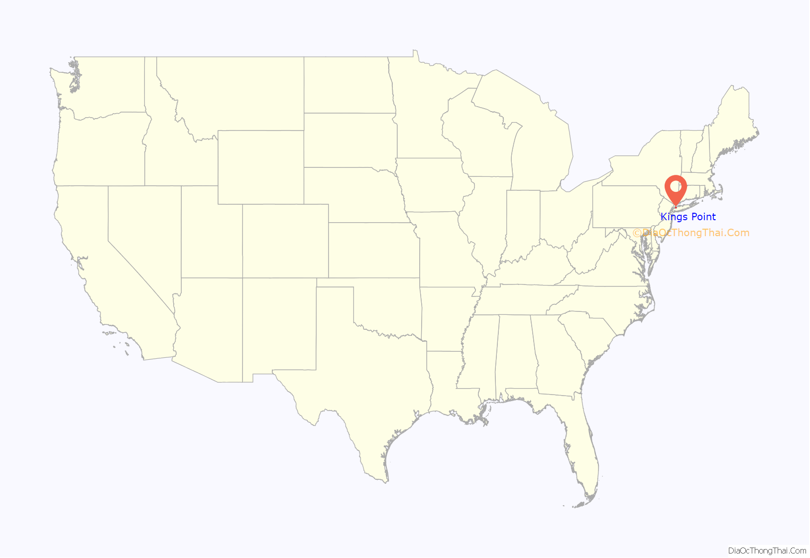
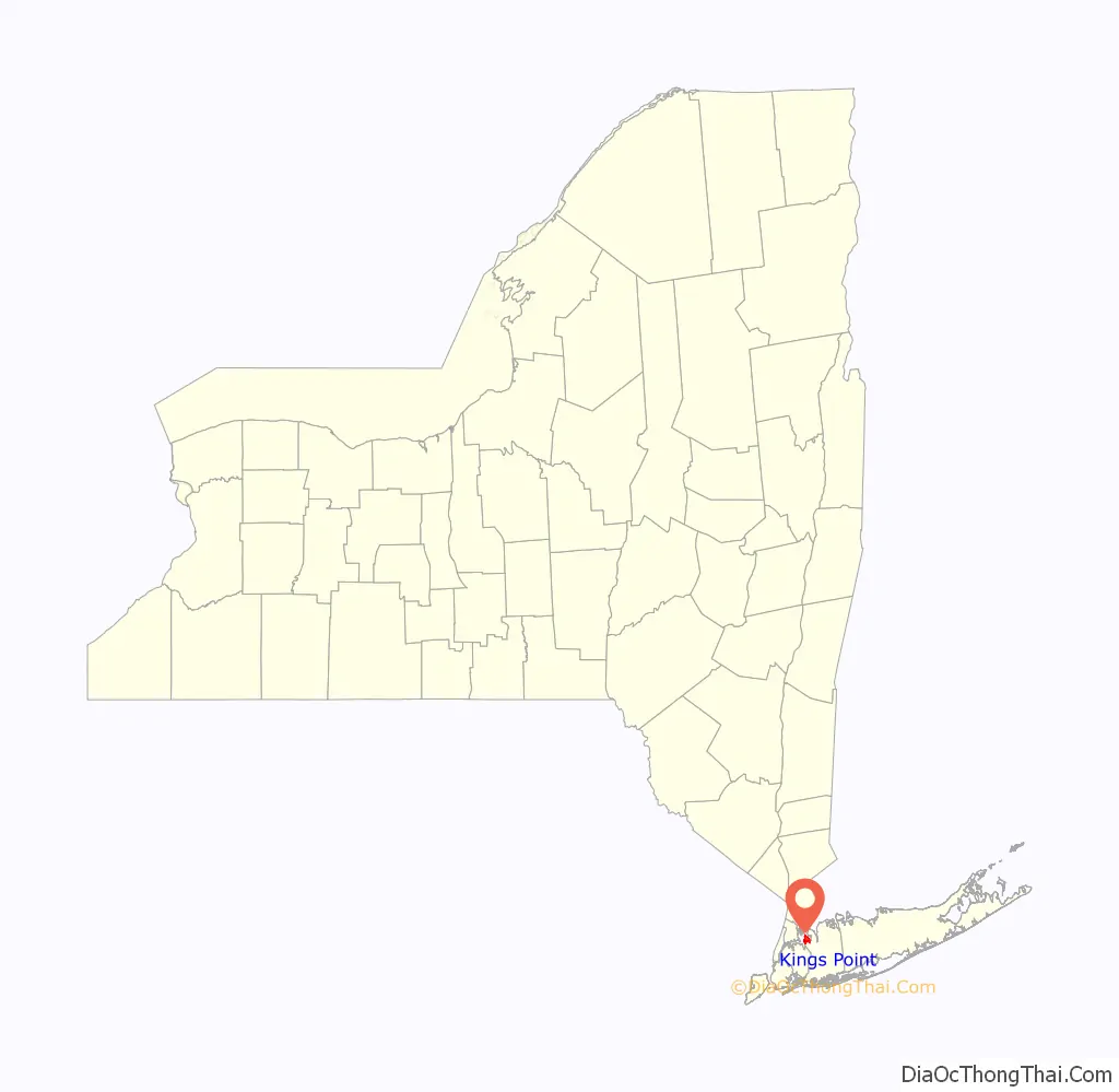
Kings Point location map. Where is Kings Point village?
History
The Village of Kings Point incorporated in November 1924. It is named for the King family, which owned large portions of land in the area.
The entire region was once known as Hewlett’s Point after the Hewlett family, who also owned land in the area; this name is still used sometimes in reference to the village’s northern point.
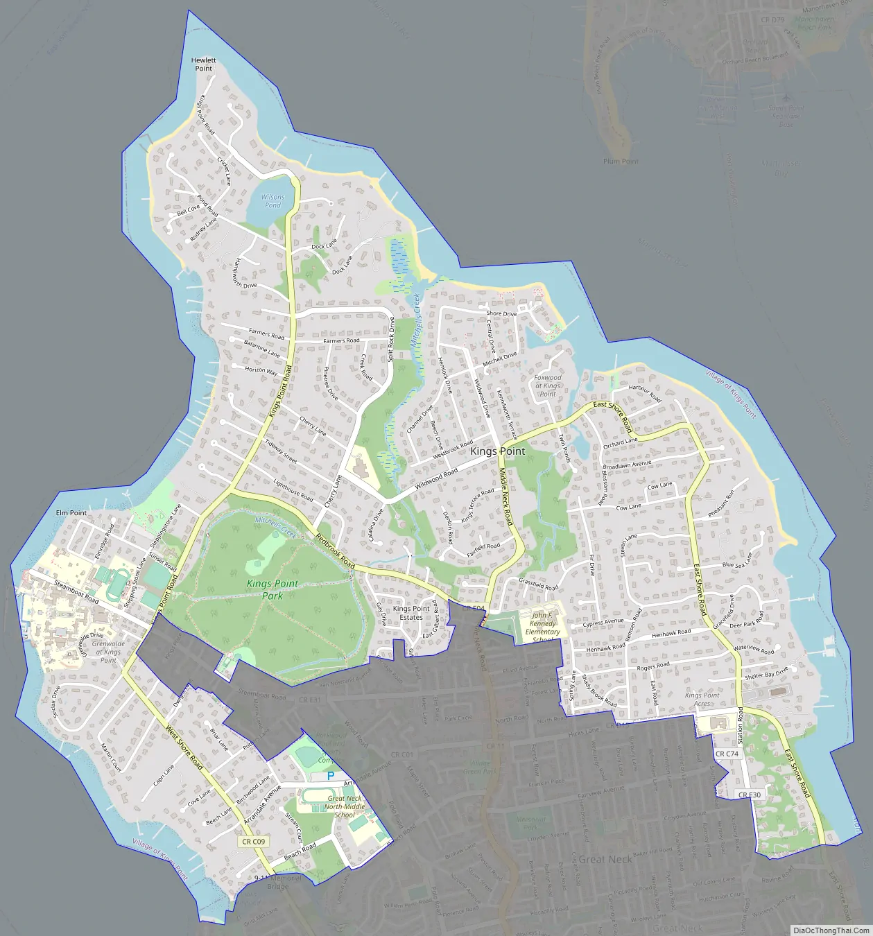
Kings Point Road Map
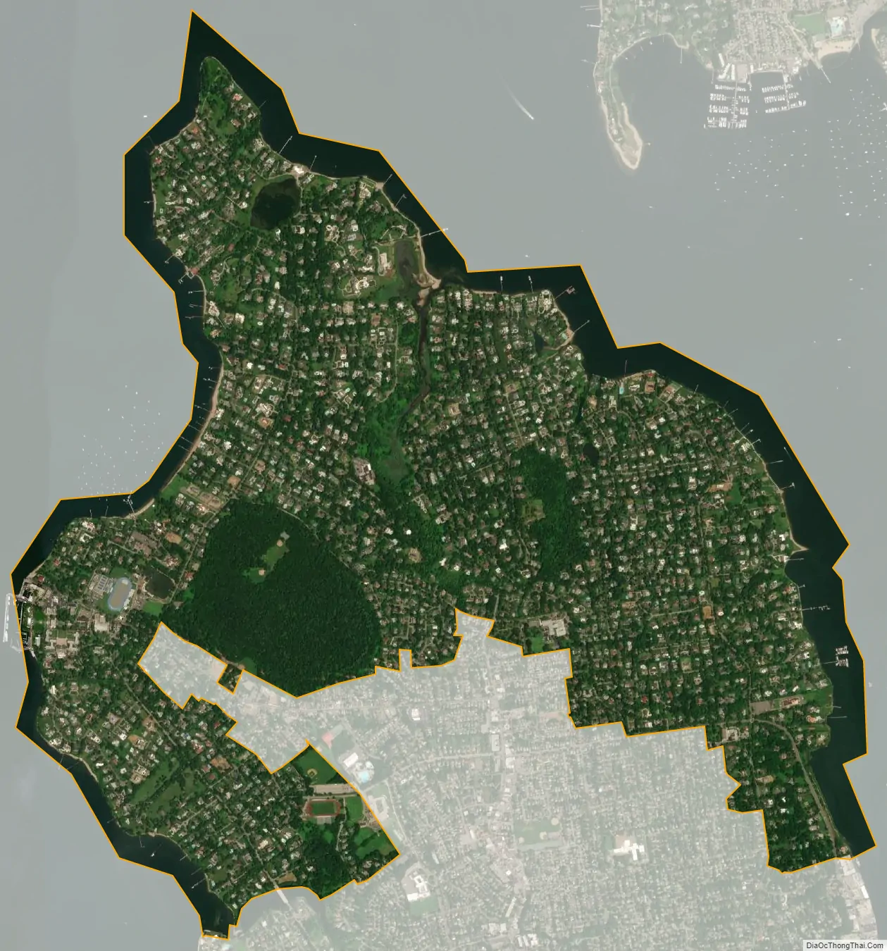
Kings Point city Satellite Map
Geography
According to the United States Census Bureau, the village has a total area of 4.0 square miles (10.3 km), of which 3.3 square miles (8.7 km) is land and 0.6 square miles (1.7 km) (16.08%) is water.
Kings Point is surrounded on three sides by water. It touches Little Neck Bay to the west, the Long Island Sound to the north, and Manhasset Bay to the east.
See also
Map of New York State and its subdivision:- Albany
- Allegany
- Bronx
- Broome
- Cattaraugus
- Cayuga
- Chautauqua
- Chemung
- Chenango
- Clinton
- Columbia
- Cortland
- Delaware
- Dutchess
- Erie
- Essex
- Franklin
- Fulton
- Genesee
- Greene
- Hamilton
- Herkimer
- Jefferson
- Kings
- Lake Ontario
- Lewis
- Livingston
- Madison
- Monroe
- Montgomery
- Nassau
- New York
- Niagara
- Oneida
- Onondaga
- Ontario
- Orange
- Orleans
- Oswego
- Otsego
- Putnam
- Queens
- Rensselaer
- Richmond
- Rockland
- Saint Lawrence
- Saratoga
- Schenectady
- Schoharie
- Schuyler
- Seneca
- Steuben
- Suffolk
- Sullivan
- Tioga
- Tompkins
- Ulster
- Warren
- Washington
- Wayne
- Westchester
- Wyoming
- Yates
- Alabama
- Alaska
- Arizona
- Arkansas
- California
- Colorado
- Connecticut
- Delaware
- District of Columbia
- Florida
- Georgia
- Hawaii
- Idaho
- Illinois
- Indiana
- Iowa
- Kansas
- Kentucky
- Louisiana
- Maine
- Maryland
- Massachusetts
- Michigan
- Minnesota
- Mississippi
- Missouri
- Montana
- Nebraska
- Nevada
- New Hampshire
- New Jersey
- New Mexico
- New York
- North Carolina
- North Dakota
- Ohio
- Oklahoma
- Oregon
- Pennsylvania
- Rhode Island
- South Carolina
- South Dakota
- Tennessee
- Texas
- Utah
- Vermont
- Virginia
- Washington
- West Virginia
- Wisconsin
- Wyoming


