Lake Grove is a village in the Town of Brookhaven in Suffolk County, New York, United States. The population was 11,163 at the 2010 census.
| Name: | Lake Grove village |
|---|---|
| LSAD Code: | 47 |
| LSAD Description: | village (suffix) |
| State: | New York |
| County: | Suffolk County |
| Incorporated: | September 9, 1968 |
| Elevation: | 118 ft (36 m) |
| Total Area: | 2.95 sq mi (7.63 km²) |
| Land Area: | 2.95 sq mi (7.63 km²) |
| Water Area: | 0.00 sq mi (0.00 km²) |
| Total Population: | 11,072 |
| Population Density: | 3,758.32/sq mi (1,450.92/km²) |
| ZIP code: | 11755 |
| Area code: | 631, 934 |
| FIPS code: | 3640530 |
| GNISfeature ID: | 0954916 |
| Website: | lakegroveny.gov |
Online Interactive Map
Click on ![]() to view map in "full screen" mode.
to view map in "full screen" mode.
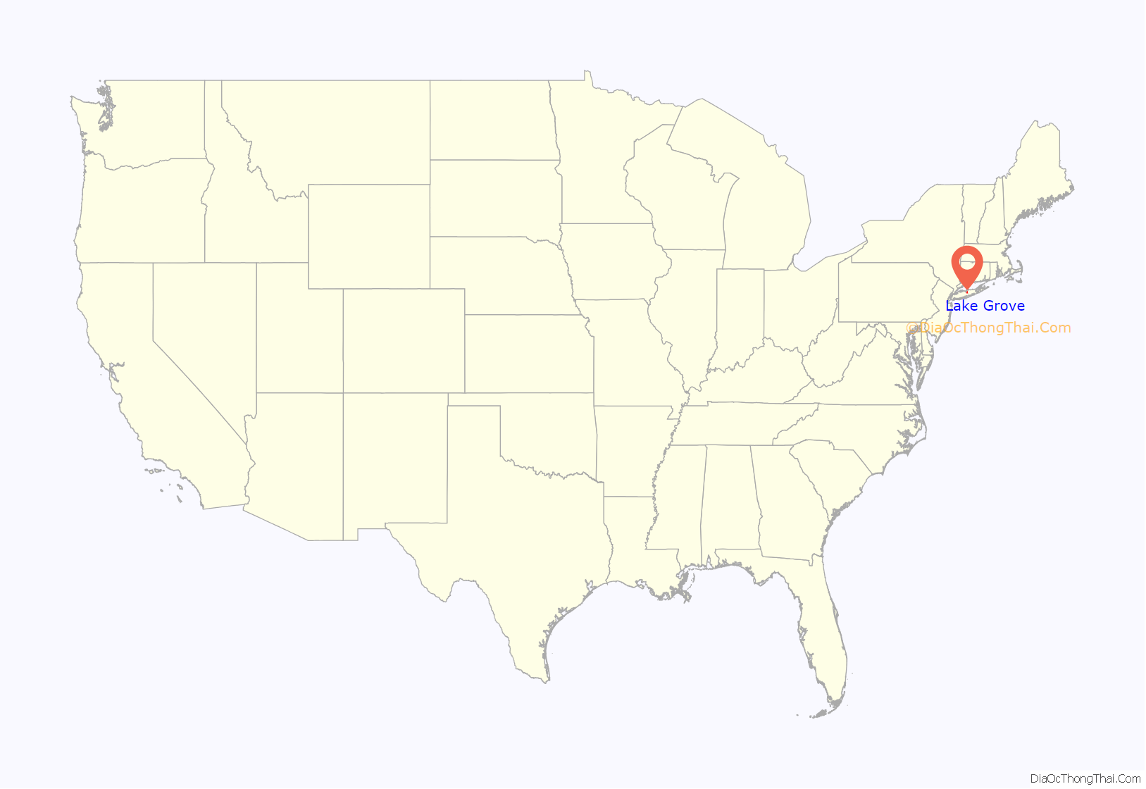
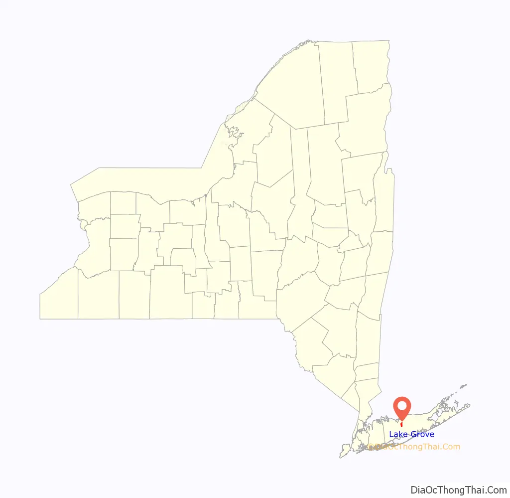
Lake Grove location map. Where is Lake Grove village?
History
The area of Lake Grove was settled in the early 18th century along Middle Country Road, which was then part of the Old Kings Highway, originally a Native American footpath. The community’s first church building, built in 1818, was the First Congregational Church of New Village. Placed on the National Register of Historic Places in 2002, the building has been preserved and is depicted on the village seal. In 1870, Lake Grove established its first post office, which carried the mail to and from Lakeland station (discontinued in 1883) by horse and wagon. The area was variously called Lakeland, Lakeville, New Village, Ronkonkoma or West Middle Island until it settled on the name Lake Grove in mid-19th century, after the groves of trees near Lake Ronkonkoma.
During the early 20th century Lake Ronkonkoma became a popular area for recreation, which prompted many small summer houses built on private roads of Lake Grove. In 1921, a new post office was erected in the eastern part of the area and given the name of Centereach. The next significant housing development built in Lake Grove was called Brook Lawn and was located on Stony Brook Road, which later grew into Stony Brook. More developments followed and the population of Lake Grove increased rapidly. In 1954, the newly built Nesconset Highway created a major commercial crossroad in Lake Grove, which prompted the construction of the Smith Haven Mall in 1968, which in turn made the local residents become concerned about the impact of new businesses and increased traffic in their community.
In order to gain local control of the zoning and planning, Lake Grove was incorporated by a vote of 552 to 332 on September 9, 1968.
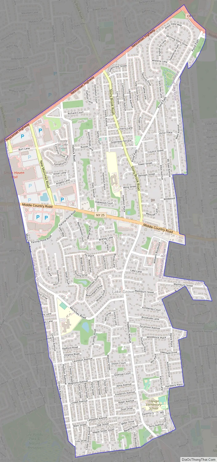
Lake Grove Road Map
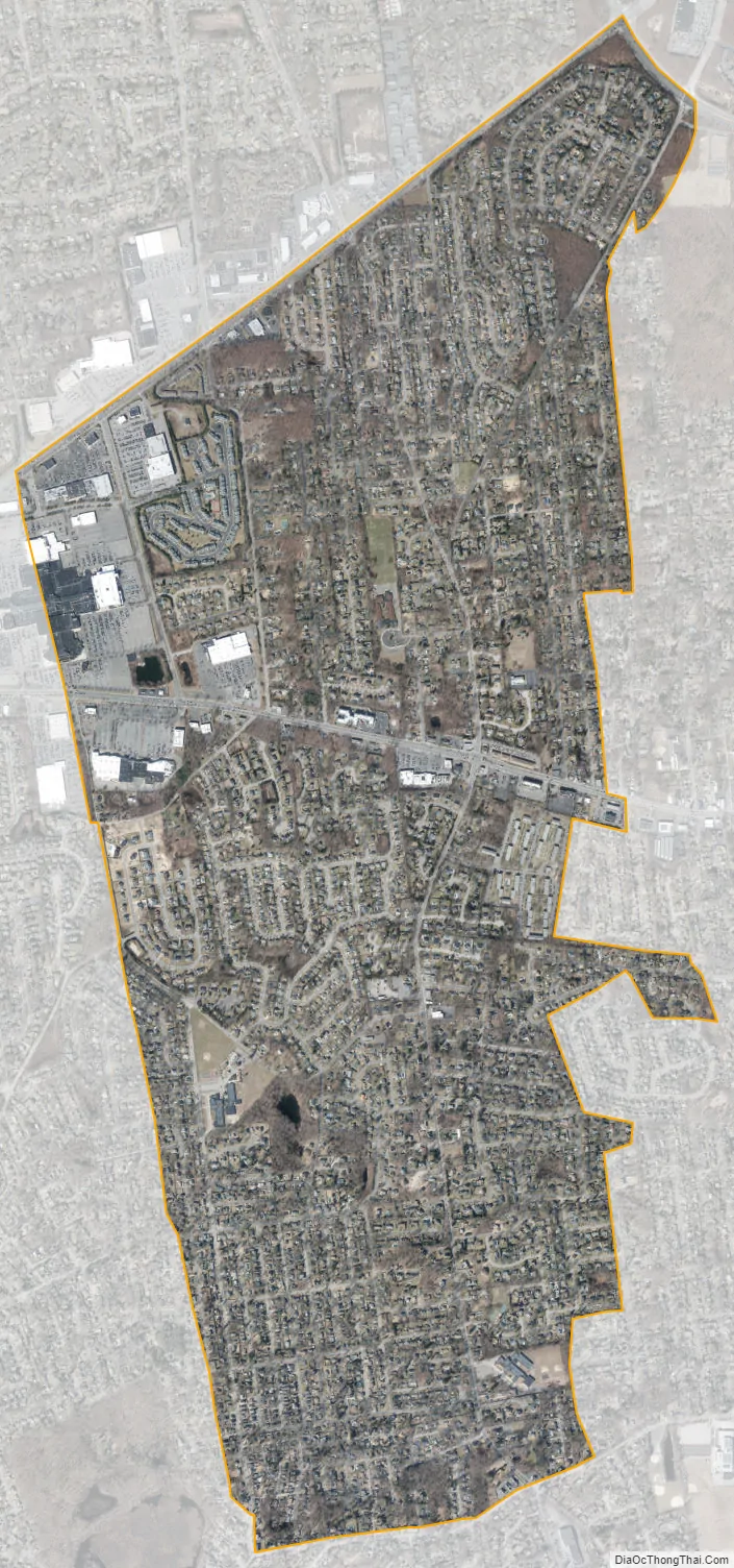
Lake Grove city Satellite Map
Geography
According to the United States Census Bureau, the village has a total area of 3.0 square miles (7.8 km), all land.
See also
Map of New York State and its subdivision:- Albany
- Allegany
- Bronx
- Broome
- Cattaraugus
- Cayuga
- Chautauqua
- Chemung
- Chenango
- Clinton
- Columbia
- Cortland
- Delaware
- Dutchess
- Erie
- Essex
- Franklin
- Fulton
- Genesee
- Greene
- Hamilton
- Herkimer
- Jefferson
- Kings
- Lake Ontario
- Lewis
- Livingston
- Madison
- Monroe
- Montgomery
- Nassau
- New York
- Niagara
- Oneida
- Onondaga
- Ontario
- Orange
- Orleans
- Oswego
- Otsego
- Putnam
- Queens
- Rensselaer
- Richmond
- Rockland
- Saint Lawrence
- Saratoga
- Schenectady
- Schoharie
- Schuyler
- Seneca
- Steuben
- Suffolk
- Sullivan
- Tioga
- Tompkins
- Ulster
- Warren
- Washington
- Wayne
- Westchester
- Wyoming
- Yates
- Alabama
- Alaska
- Arizona
- Arkansas
- California
- Colorado
- Connecticut
- Delaware
- District of Columbia
- Florida
- Georgia
- Hawaii
- Idaho
- Illinois
- Indiana
- Iowa
- Kansas
- Kentucky
- Louisiana
- Maine
- Maryland
- Massachusetts
- Michigan
- Minnesota
- Mississippi
- Missouri
- Montana
- Nebraska
- Nevada
- New Hampshire
- New Jersey
- New Mexico
- New York
- North Carolina
- North Dakota
- Ohio
- Oklahoma
- Oregon
- Pennsylvania
- Rhode Island
- South Carolina
- South Dakota
- Tennessee
- Texas
- Utah
- Vermont
- Virginia
- Washington
- West Virginia
- Wisconsin
- Wyoming


