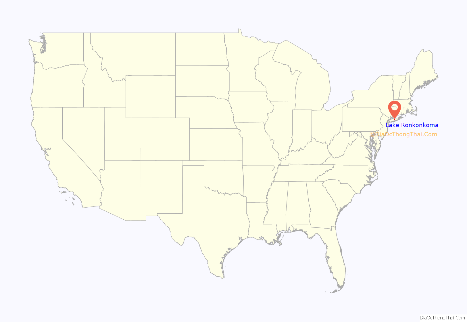
Lake Ronkonkoma is a hamlet and census-designated place (CDP) in Suffolk County, on Long Island, in New York, United States. The population was 20,155 at the 2010 census.
Lake Ronkonkoma is mainly located in the Town of Brookhaven, but has small sections in the Town of Smithtown and the Town of Islip.
| Name: | Lake Ronkonkoma CDP |
|---|---|
| LSAD Code: | 57 |
| LSAD Description: | CDP (suffix) |
| State: | New York |
| County: | Suffolk County |
| Elevation: | 72 ft (22 m) |
| Total Area: | 4.54 sq mi (11.76 km²) |
| Land Area: | 4.54 sq mi (11.75 km²) |
| Water Area: | 0.00 sq mi (0.01 km²) |
| Total Population: | 18,619 |
| Population Density: | 4,104.72/sq mi (1,584.67/km²) |
| ZIP code: | 11779 |
| Area code: | 631, 934 |
| FIPS code: | 3640838 |
| GNISfeature ID: | 0954936 |
Online Interactive Map
Click on ![]() to view map in "full screen" mode.
to view map in "full screen" mode.
Lake Ronkonkoma location map. Where is Lake Ronkonkoma CDP?
History
The actual lake, Lake Ronkonkoma, adjacent to the CDP, is the largest lake on Long Island. The land surrounding one side of the lake is in the jurisdiction of the Town of Islip. The elevation of the lake surface is given as 55 feet (17 m) on the most recent USGS map, but as the lake is a “groundwater lake”, not fed by streams, it has no surface outlet and its water surface reflects the current level of the local water table. This can undergo significant changes over time, and the lake level experiences slow periods of rise and fall. In the late 1960s it was quite low; after several intermediate changes in level, in 2007 the lake was higher than at any time since, with a difference of well over 5 feet (1.5 m) between the 1960s low and the 2007 high.
As a result of the lake’s existence, Lake Ronkonkoma was once a resort town, until the area experienced a population explosion in the mid-20th century. Remnants of old resorts and hotels can still be seen around the lake’s shores. Many summer cottages and bungalows from that period remain, now converted to year-round use.
The lake is the subject of a number of urban legends, mainly rooted in the area’s rich Native American heritage. For example: 1. “It’s bottomless” (and/or empties into Long Island Sound or other waterways). In fact, the lake is relatively deep (approx. 65 feet (20 m)) at its southeastern side, and is what’s known as a kettle hole lake. 2. “Every year the lake sacrifices someone.” Or more specifically, Princess Ronkonkoma “The Lady of the Lake” calls young men out to the middle of the lake and drowns them. In all versions, the lady is an Indian princess who herself drowned in the lake, for reasons that vary depending on the story. The most popular version is that every year the lake claims one male victim. Articles suggest that in the past 200 years, only a handful of females have drowned in Lake Ronkonkoma. 3. “There is a mysterious rise and fall of the lake that doesn’t have any noticeable relationship to local rainfall totals.” This has not been sufficiently explained either way.
The Native Americans in Suffolk County, as opposed to Nassau County (then a part of Queens County) got along well with the white English. In the Dutch west end of Long Island there was bitter fighting between the Native Americans and the Dutch.
There is some kernel of truth in the story. The lake was considered the most sacred lake by the Indians and it was also the meeting point. The tribes controlled different parts of it. One thing is certain, the Native American princess could not have lived in what is now Ronkonkoma; a major point of the story is that the princess and her lover ran off from their own settlement to the lake. In addition the Indians did not live anywhere near the lake. They lived near the coasts of Long Island.
Lake Ronkonkoma Road Map
Lake Ronkonkoma city Satellite Map
Geography
According to the United States Census Bureau, the CDP has a total area of 4.9 square miles (13 km), all land.
See also
Map of New York State and its subdivision:- Albany
- Allegany
- Bronx
- Broome
- Cattaraugus
- Cayuga
- Chautauqua
- Chemung
- Chenango
- Clinton
- Columbia
- Cortland
- Delaware
- Dutchess
- Erie
- Essex
- Franklin
- Fulton
- Genesee
- Greene
- Hamilton
- Herkimer
- Jefferson
- Kings
- Lake Ontario
- Lewis
- Livingston
- Madison
- Monroe
- Montgomery
- Nassau
- New York
- Niagara
- Oneida
- Onondaga
- Ontario
- Orange
- Orleans
- Oswego
- Otsego
- Putnam
- Queens
- Rensselaer
- Richmond
- Rockland
- Saint Lawrence
- Saratoga
- Schenectady
- Schoharie
- Schuyler
- Seneca
- Steuben
- Suffolk
- Sullivan
- Tioga
- Tompkins
- Ulster
- Warren
- Washington
- Wayne
- Westchester
- Wyoming
- Yates
- Alabama
- Alaska
- Arizona
- Arkansas
- California
- Colorado
- Connecticut
- Delaware
- District of Columbia
- Florida
- Georgia
- Hawaii
- Idaho
- Illinois
- Indiana
- Iowa
- Kansas
- Kentucky
- Louisiana
- Maine
- Maryland
- Massachusetts
- Michigan
- Minnesota
- Mississippi
- Missouri
- Montana
- Nebraska
- Nevada
- New Hampshire
- New Jersey
- New Mexico
- New York
- North Carolina
- North Dakota
- Ohio
- Oklahoma
- Oregon
- Pennsylvania
- Rhode Island
- South Carolina
- South Dakota
- Tennessee
- Texas
- Utah
- Vermont
- Virginia
- Washington
- West Virginia
- Wisconsin
- Wyoming


