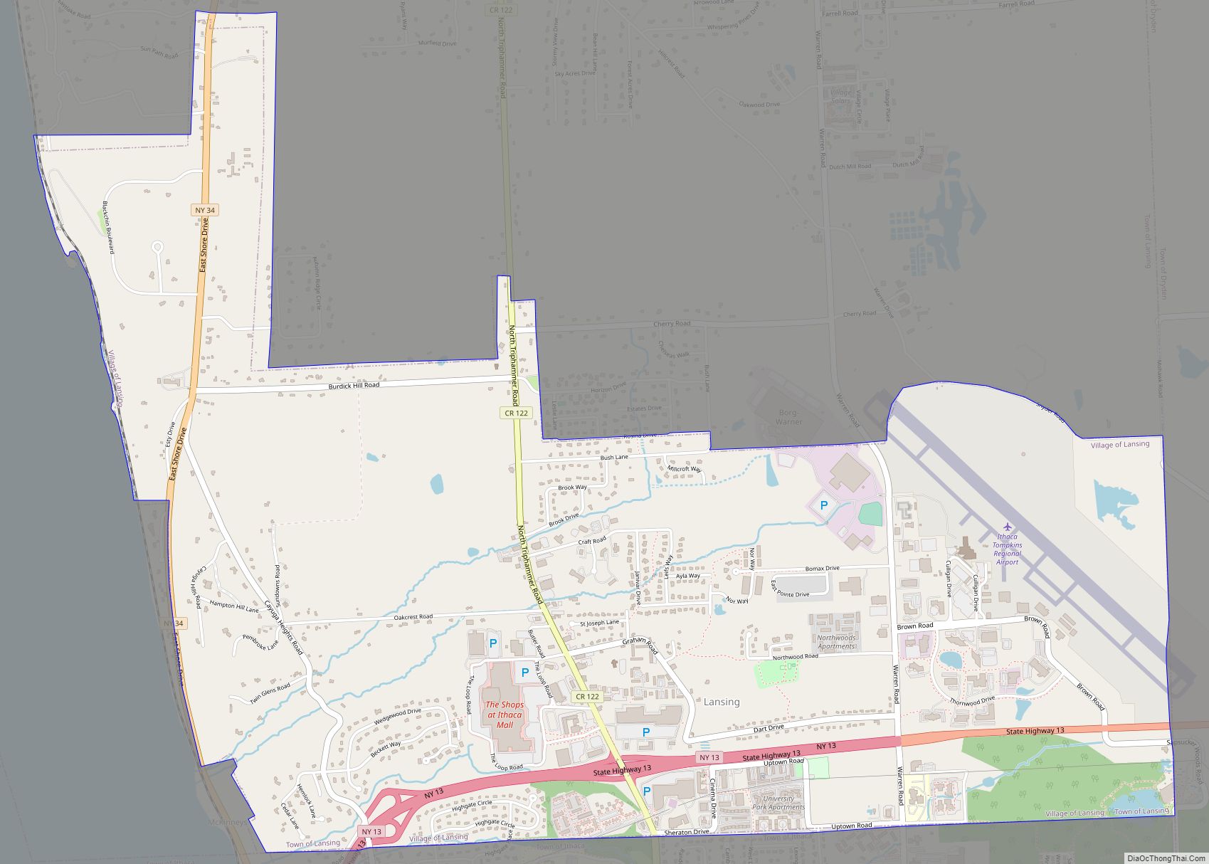
Lansing is a village in Tompkins County, New York, United States, and a suburb of Ithaca. The population was 3,648 at the 2020 census.
The Village of Lansing is in the Town of Lansing and is located just north of the City of Ithaca.
| Name: | Lansing village |
|---|---|
| LSAD Code: | 47 |
| LSAD Description: | village (suffix) |
| State: | New York |
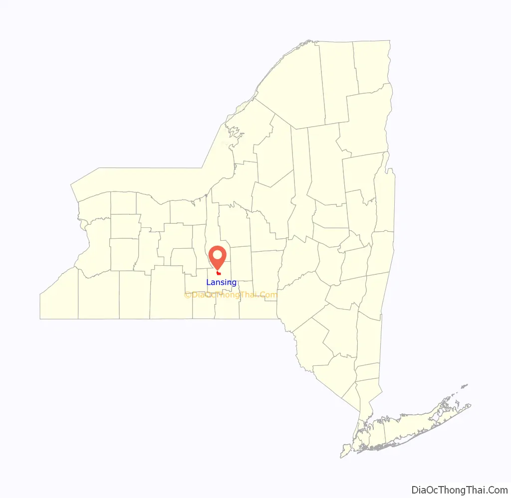
| County: | Tompkins County |
| Incorporated: | December 19, 1974 (1974-12-19) |
| Elevation: | 928 ft (283 m) |
| Total Area: | 4.63 sq mi (11.99 km²) |
| Land Area: | 4.61 sq mi (11.94 km²) |
| Water Area: | 0.02 sq mi (0.05 km²) |
| Total Population: | 3,648 |
| Population Density: | 791.32/sq mi (305.51/km²) |
| ZIP code: | 14850 |
| Area code: | 607 |
| FIPS code: | 3641223 |
| GNISfeature ID: | 0955042 |
| Website: | www.vlansing.org |
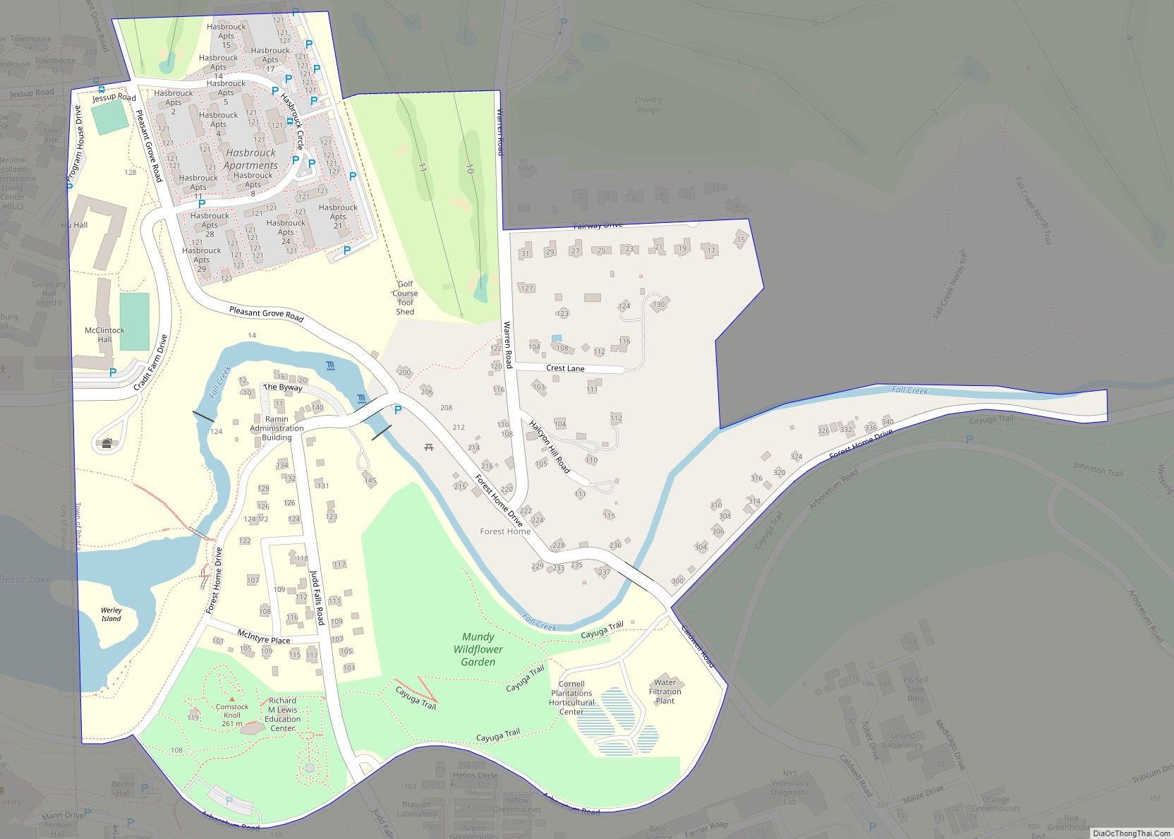
Online Interactive Map
Click on ![]() to view map in "full screen" mode.
to view map in "full screen" mode.
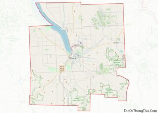
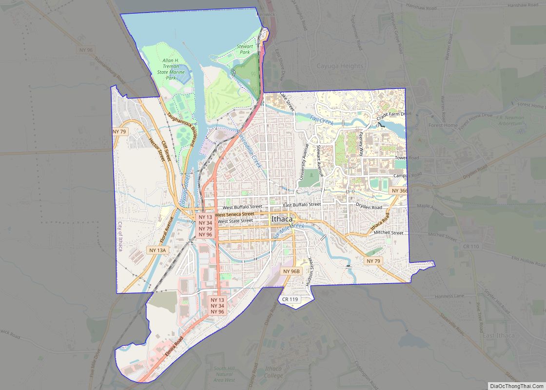
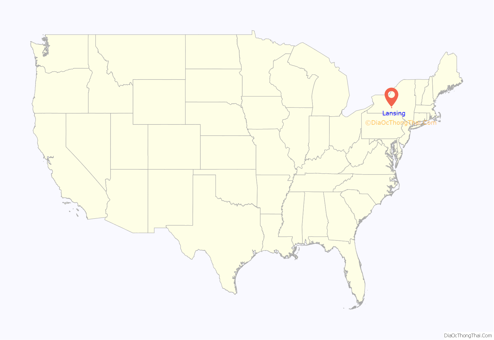
Lansing location map. Where is Lansing village?
History
The Village of Lansing was incorporated in 1974. The area was formerly within the territory of the Cayuga tribe and later became part of the Central New York Military Tract.
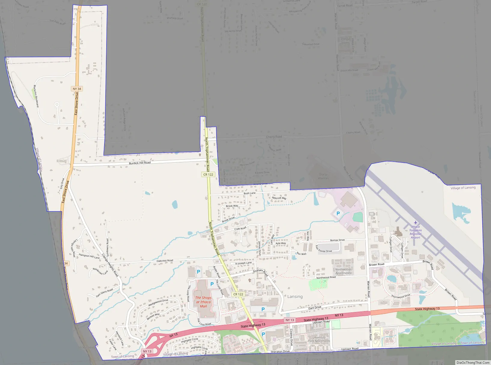
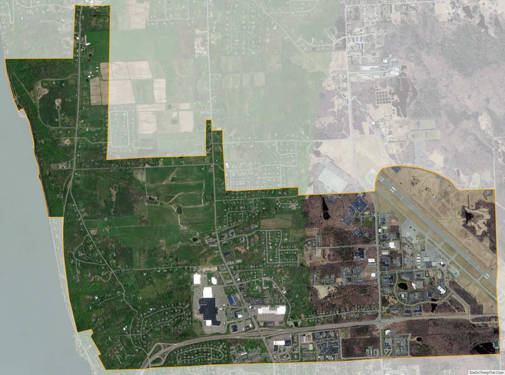
Ithaca Tompkins International Airport is located partially in the eastern part of the village.
Lansing Road Map
Lansing city Satellite Map
Geography
The village is located at 42°29′15″N 76°29′9″W / 42.48750°N 76.48583°W / 42.48750; -76.48583 (42.487688, -76.486075).
According to the United States Census Bureau, the village has a total area of 4.6 square miles (12.0 km), of which 4.6 square miles (11.9 km) of it is land and 0.22% is water.
The village is at the south end of Cayuga Lake. It borders the Towns of Dryden and Ithaca and the Village of Cayuga Heights.
New York State Route 13 passes across the village, joining New York State Route 34, which passes down the west side of the village, south of the village line.
See also
Map of New York State and its subdivision:- Albany
- Allegany
- Bronx
- Broome
- Cattaraugus
- Cayuga
- Chautauqua
- Chemung
- Chenango
- Clinton
- Columbia
- Cortland
- Delaware
- Dutchess
- Erie
- Essex
- Franklin
- Fulton
- Genesee
- Greene
- Hamilton
- Herkimer
- Jefferson
- Kings
- Lake Ontario
- Lewis
- Livingston
- Madison
- Monroe
- Montgomery
- Nassau
- New York
- Niagara
- Oneida
- Onondaga
- Ontario
- Orange
- Orleans
- Oswego
- Otsego
- Putnam
- Queens
- Rensselaer
- Richmond
- Rockland
- Saint Lawrence
- Saratoga
- Schenectady
- Schoharie
- Schuyler
- Seneca
- Steuben
- Suffolk
- Sullivan
- Tioga
- Tompkins
- Ulster
- Warren
- Washington
- Wayne
- Westchester
- Wyoming
- Yates
- Alabama
- Alaska
- Arizona
- Arkansas
- California
- Colorado
- Connecticut
- Delaware
- District of Columbia
- Florida
- Georgia
- Hawaii
- Idaho
- Illinois
- Indiana
- Iowa
- Kansas
- Kentucky
- Louisiana
- Maine
- Maryland
- Massachusetts
- Michigan
- Minnesota
- Mississippi
- Missouri
- Montana
- Nebraska
- Nevada
- New Hampshire
- New Jersey
- New Mexico
- New York
- North Carolina
- North Dakota
- Ohio
- Oklahoma
- Oregon
- Pennsylvania
- Rhode Island
- South Carolina
- South Dakota
- Tennessee
- Texas
- Utah
- Vermont
- Virginia
- Washington
- West Virginia
- Wisconsin
- Wyoming