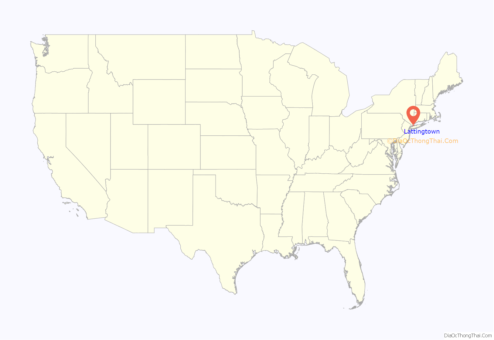
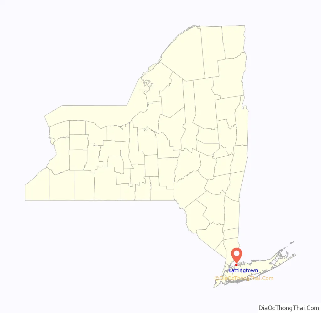
Lattingtown is a village located within the Town of Oyster Bay in Nassau County, on Long Island, in New York, United States. The population was 1,739 at the 2010 census.
| Name: | Lattingtown village |
|---|---|
| LSAD Code: | 47 |
| LSAD Description: | village (suffix) |
| State: | New York |
| County: | Nassau County |
| Elevation: | 62 ft (19 m) |
| Total Area: | 3.82 sq mi (9.90 km²) |
| Land Area: | 3.75 sq mi (9.71 km²) |
| Water Area: | 0.08 sq mi (0.20 km²) |
| Total Population: | 1,881 |
| Population Density: | 502.00/sq mi (193.82/km²) |
| ZIP code: | 11560 |
| Area code: | 516 |
| FIPS code: | 3641432 |
| GNISfeature ID: | 0955075 |
| Website: | villageoflattingtown.org |
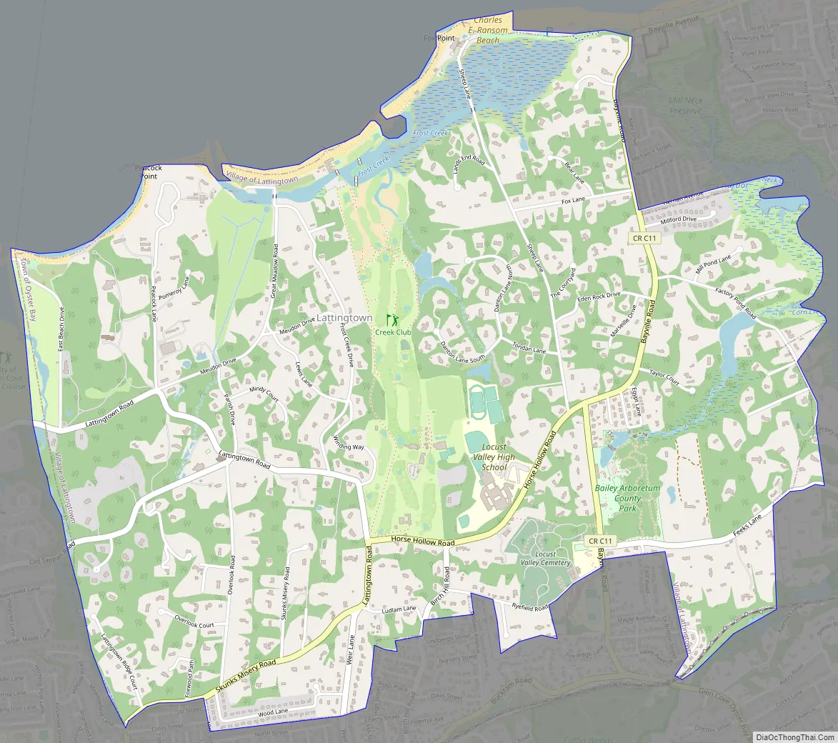
Online Interactive Map
Click on ![]() to view map in "full screen" mode.
to view map in "full screen" mode.
Lattingtown location map. Where is Lattingtown village?
History
The area of marsh along the coast was occupied by a band of Lenape, known as the Matinecock, a name associated with the place.
The Matinecock sold the area in 1660 to Richard Latting and his son, Josiah Latting. The Lattings sold marsh reeds for use in thatched-roof houses. The same family later established the hamlet of Lattingtown at Marlborough, Ulster County, New York, north of Manhattan.
The 1986 film The Money Pit was partially filmed in Lattingtown.
Lattingtown Road Map
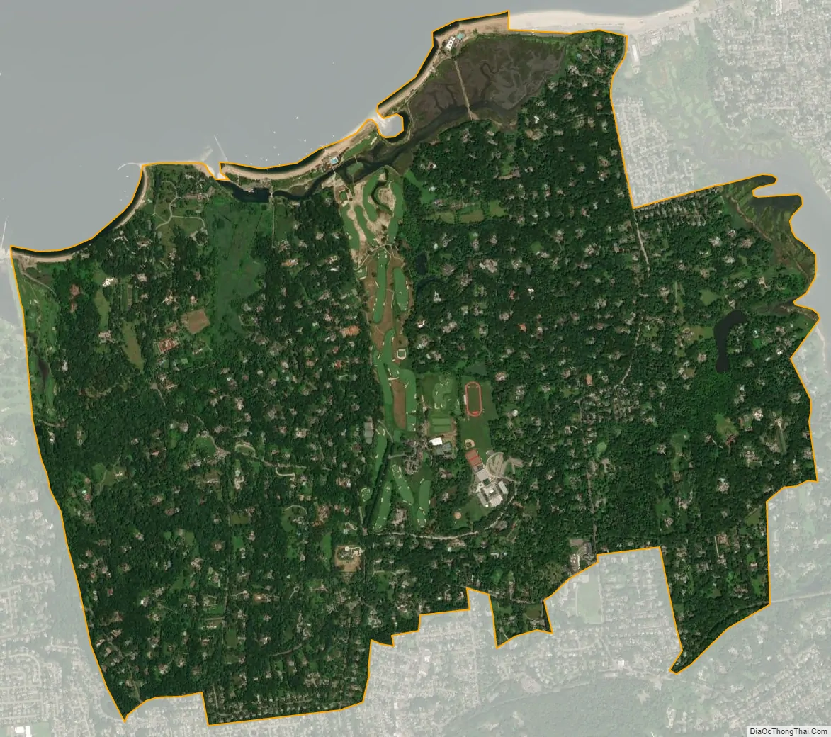
Lattingtown city Satellite Map
Geography
According to the United States Census Bureau, the village has a total area of 3.8 square miles (9.8 km), of which 3.8 square miles (9.8 km) is land and 0.04 square miles (0.10 km) (1.05%) is water.
See also
Map of New York State and its subdivision:- Albany
- Allegany
- Bronx
- Broome
- Cattaraugus
- Cayuga
- Chautauqua
- Chemung
- Chenango
- Clinton
- Columbia
- Cortland
- Delaware
- Dutchess
- Erie
- Essex
- Franklin
- Fulton
- Genesee
- Greene
- Hamilton
- Herkimer
- Jefferson
- Kings
- Lake Ontario
- Lewis
- Livingston
- Madison
- Monroe
- Montgomery
- Nassau
- New York
- Niagara
- Oneida
- Onondaga
- Ontario
- Orange
- Orleans
- Oswego
- Otsego
- Putnam
- Queens
- Rensselaer
- Richmond
- Rockland
- Saint Lawrence
- Saratoga
- Schenectady
- Schoharie
- Schuyler
- Seneca
- Steuben
- Suffolk
- Sullivan
- Tioga
- Tompkins
- Ulster
- Warren
- Washington
- Wayne
- Westchester
- Wyoming
- Yates
- Alabama
- Alaska
- Arizona
- Arkansas
- California
- Colorado
- Connecticut
- Delaware
- District of Columbia
- Florida
- Georgia
- Hawaii
- Idaho
- Illinois
- Indiana
- Iowa
- Kansas
- Kentucky
- Louisiana
- Maine
- Maryland
- Massachusetts
- Michigan
- Minnesota
- Mississippi
- Missouri
- Montana
- Nebraska
- Nevada
- New Hampshire
- New Jersey
- New Mexico
- New York
- North Carolina
- North Dakota
- Ohio
- Oklahoma
- Oregon
- Pennsylvania
- Rhode Island
- South Carolina
- South Dakota
- Tennessee
- Texas
- Utah
- Vermont
- Virginia
- Washington
- West Virginia
- Wisconsin
- Wyoming


