Laurel Hollow is a village in the Town of Oyster Bay in Nassau County, on the North Shore of Long Island, in New York, United States. The population was 1,952 at the 2010 census. According to Bloomberg BusinessWeek, Laurel Hollow was the eighth wealthiest town in America.
| Name: | Laurel Hollow village |
|---|---|
| LSAD Code: | 47 |
| LSAD Description: | village (suffix) |
| State: | New York |
| County: | Nassau County |
| Incorporated: | 1926 |
| Elevation: | 240 ft (73 m) |
| Total Area: | 3.16 sq mi (8.19 km²) |
| Land Area: | 2.96 sq mi (7.66 km²) |
| Water Area: | 0.20 sq mi (0.53 km²) |
| Total Population: | 1,940 |
| Population Density: | 655.85/sq mi (253.25/km²) |
| ZIP code: | 11771, 11791, 11724, 11797 |
| Area code: | 516 |
| FIPS code: | 3641487 |
| GNISfeature ID: | 0955090 |
| Website: | www.laurelhollow.org |
Online Interactive Map
Click on ![]() to view map in "full screen" mode.
to view map in "full screen" mode.
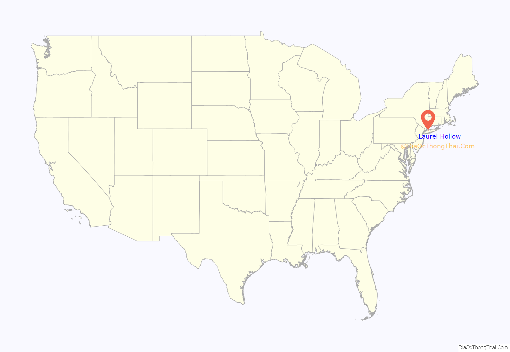
Laurel Hollow location map. Where is Laurel Hollow village?

History
The settlement began circa 1653 with purchase of land from the local natives. The village was incorporated in 1926 as “Lauralton,” but the name was changed to “Laurel Hollow” in 1935 to avoid postal confusion with Laurelton in Queens. Today, Laurel Hollow is served by post offices in the hamlets of Syosset, Oyster Bay, Woodbury and Cold Spring Harbor.
The globally renowned Cold Spring Harbor Laboratory is located in the village.
Laurel Hollow Road Map

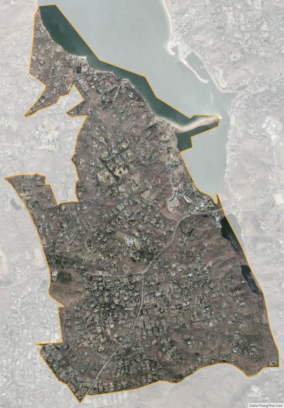
Laurel Hollow city Satellite Map
Geography
According to the United States Census Bureau, the village has a total area of 3.1 square miles (8.0 km), of which 2.9 square miles (7.5 km) is land and 0.2 square miles (0.52 km), or 5.18%, is water.
The village is situated in Nassau County and creates a portion of Nassau’s eastern border with Suffolk County. Hilly terrain predominates in the area, and the forests are mostly deciduous trees with a low canopy of laurel bushes that provide a low evergreen canopy. Route 25A passes through Laurel Hollow east-west.
See also
Map of New York State and its subdivision:- Albany
- Allegany
- Bronx
- Broome
- Cattaraugus
- Cayuga
- Chautauqua
- Chemung
- Chenango
- Clinton
- Columbia
- Cortland
- Delaware
- Dutchess
- Erie
- Essex
- Franklin
- Fulton
- Genesee
- Greene
- Hamilton
- Herkimer
- Jefferson
- Kings
- Lake Ontario
- Lewis
- Livingston
- Madison
- Monroe
- Montgomery
- Nassau
- New York
- Niagara
- Oneida
- Onondaga
- Ontario
- Orange
- Orleans
- Oswego
- Otsego
- Putnam
- Queens
- Rensselaer
- Richmond
- Rockland
- Saint Lawrence
- Saratoga
- Schenectady
- Schoharie
- Schuyler
- Seneca
- Steuben
- Suffolk
- Sullivan
- Tioga
- Tompkins
- Ulster
- Warren
- Washington
- Wayne
- Westchester
- Wyoming
- Yates
- Alabama
- Alaska
- Arizona
- Arkansas
- California
- Colorado
- Connecticut
- Delaware
- District of Columbia
- Florida
- Georgia
- Hawaii
- Idaho
- Illinois
- Indiana
- Iowa
- Kansas
- Kentucky
- Louisiana
- Maine
- Maryland
- Massachusetts
- Michigan
- Minnesota
- Mississippi
- Missouri
- Montana
- Nebraska
- Nevada
- New Hampshire
- New Jersey
- New Mexico
- New York
- North Carolina
- North Dakota
- Ohio
- Oklahoma
- Oregon
- Pennsylvania
- Rhode Island
- South Carolina
- South Dakota
- Tennessee
- Texas
- Utah
- Vermont
- Virginia
- Washington
- West Virginia
- Wisconsin
- Wyoming


