Linwood is a hamlet and census-designated place (CDP) in the town of York, Livingston County, New York, United States. Its population was 74 as of the 2010 census. Linwood had a post office until February 6, 1993; it still has its own ZIP code, 14486.
| Name: | Linwood CDP |
|---|---|
| LSAD Code: | 57 |
| LSAD Description: | CDP (suffix) |
| State: | New York |
| County: | Livingston County |
| Elevation: | 938 ft (286 m) |
| Total Area: | 0.93 sq mi (2.41 km²) |
| Land Area: | 0.93 sq mi (2.41 km²) |
| Water Area: | 0.00 sq mi (0.00 km²) |
| Total Population: | 84 |
| Population Density: | 90.42/sq mi (34.93/km²) |
| ZIP code: | 14486 |
| Area code: | 585 |
| FIPS code: | 3642609 |
| GNISfeature ID: | 955426 |
Online Interactive Map
Click on ![]() to view map in "full screen" mode.
to view map in "full screen" mode.
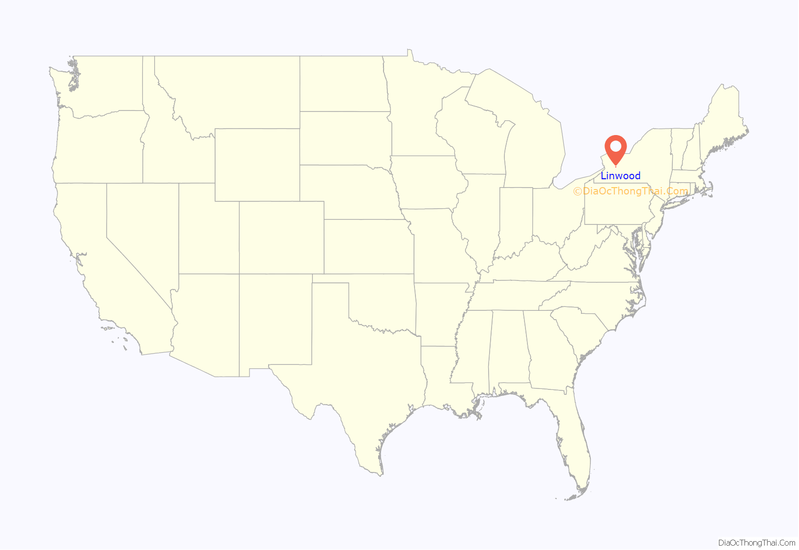
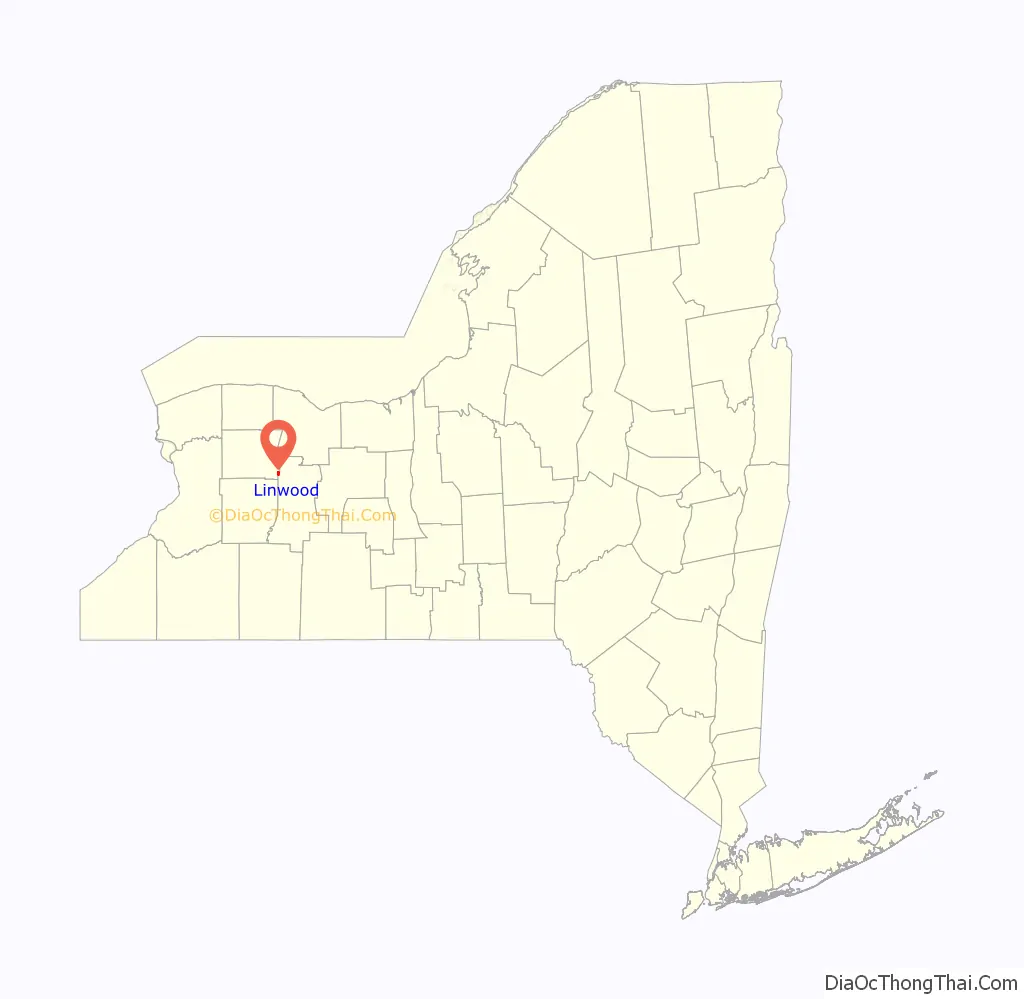
Linwood location map. Where is Linwood CDP?
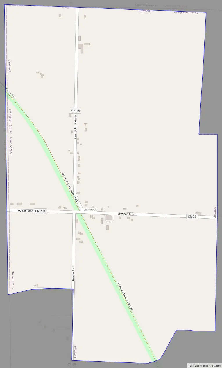
Linwood Road Map
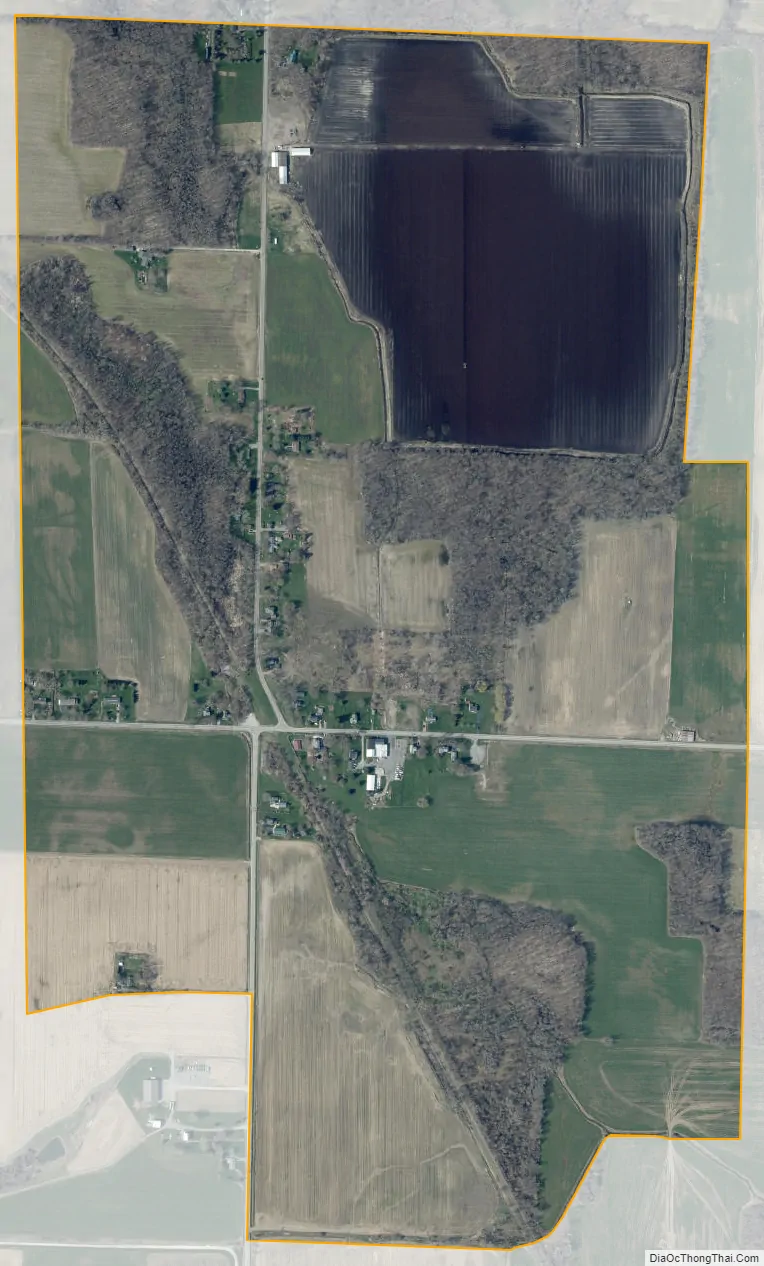
Linwood city Satellite Map
Geography
Linwood is in northwestern Livingston County, in the northwest corner of the town of York. It is bordered to the north and west by the town of Pavilion in Genesee County. U.S. Route 20 passes 1 mile (1.6 km) north of the community. Rochester is 30 miles (48 km) northeast of Linwood, Batavia is 15 miles (24 km) to the northwest, and Geneseo, the Livingston county seat, is 11 miles (18 km) to the southeast.
According to the U.S. Census Bureau, the Linwood CDP has an area of 0.93 square miles (2.41 km), all land. The Linwood area drains toward Browns Creek, an east-flowing tributary of the Genesee River.
See also
Map of New York State and its subdivision:- Albany
- Allegany
- Bronx
- Broome
- Cattaraugus
- Cayuga
- Chautauqua
- Chemung
- Chenango
- Clinton
- Columbia
- Cortland
- Delaware
- Dutchess
- Erie
- Essex
- Franklin
- Fulton
- Genesee
- Greene
- Hamilton
- Herkimer
- Jefferson
- Kings
- Lake Ontario
- Lewis
- Livingston
- Madison
- Monroe
- Montgomery
- Nassau
- New York
- Niagara
- Oneida
- Onondaga
- Ontario
- Orange
- Orleans
- Oswego
- Otsego
- Putnam
- Queens
- Rensselaer
- Richmond
- Rockland
- Saint Lawrence
- Saratoga
- Schenectady
- Schoharie
- Schuyler
- Seneca
- Steuben
- Suffolk
- Sullivan
- Tioga
- Tompkins
- Ulster
- Warren
- Washington
- Wayne
- Westchester
- Wyoming
- Yates
- Alabama
- Alaska
- Arizona
- Arkansas
- California
- Colorado
- Connecticut
- Delaware
- District of Columbia
- Florida
- Georgia
- Hawaii
- Idaho
- Illinois
- Indiana
- Iowa
- Kansas
- Kentucky
- Louisiana
- Maine
- Maryland
- Massachusetts
- Michigan
- Minnesota
- Mississippi
- Missouri
- Montana
- Nebraska
- Nevada
- New Hampshire
- New Jersey
- New Mexico
- New York
- North Carolina
- North Dakota
- Ohio
- Oklahoma
- Oregon
- Pennsylvania
- Rhode Island
- South Carolina
- South Dakota
- Tennessee
- Texas
- Utah
- Vermont
- Virginia
- Washington
- West Virginia
- Wisconsin
- Wyoming


