Liverpool is a lakeside village in Onondaga County, New York, United States. As of the 2020 census, the population was 2,242. The name was adopted from the city of Liverpool in the United Kingdom. The village is on Onondaga Lake, in the western part of the town of Salina and is northwest of Syracuse, of which it is a suburb.
| Name: | Liverpool village |
|---|---|
| LSAD Code: | 47 |
| LSAD Description: | village (suffix) |
| State: | New York |
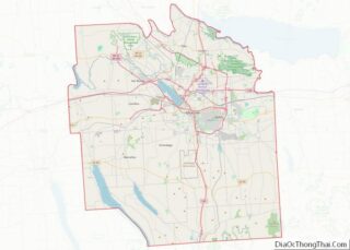
| County: | Onondaga County |
| Elevation: | 420 ft (128 m) |
| Total Area: | 0.75 sq mi (1.95 km²) |
| Land Area: | 0.75 sq mi (1.95 km²) |
| Water Area: | 0.00 sq mi (0.00 km²) |
| Total Population: | 2,242 |
| Population Density: | 2,985.35/sq mi (1,151.89/km²) |
| ZIP code: | 13088-13090 |
| Area code: | 315 |
| FIPS code: | 3642884 |
| GNISfeature ID: | 0955742 |
| Website: | www.villageofliverpool.org |
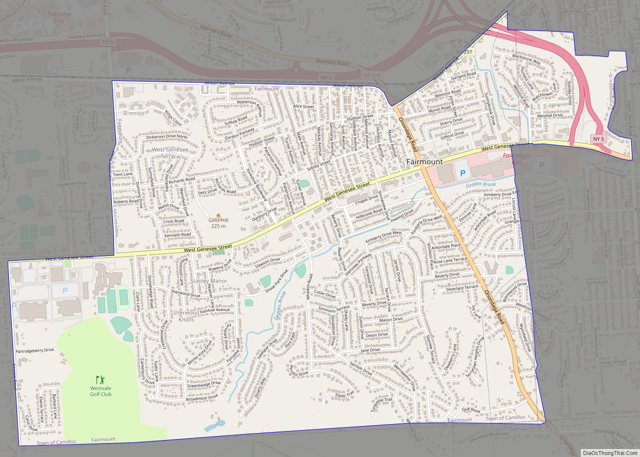
Online Interactive Map
Click on ![]() to view map in "full screen" mode.
to view map in "full screen" mode.
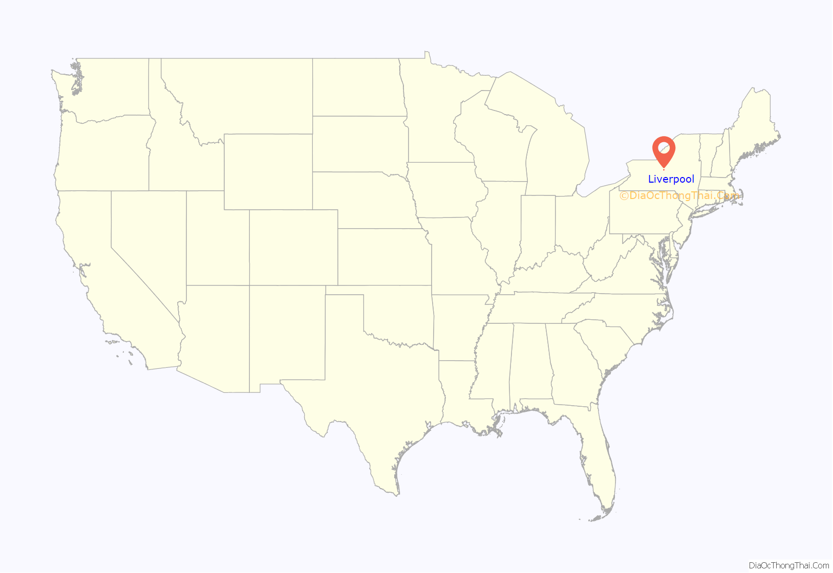
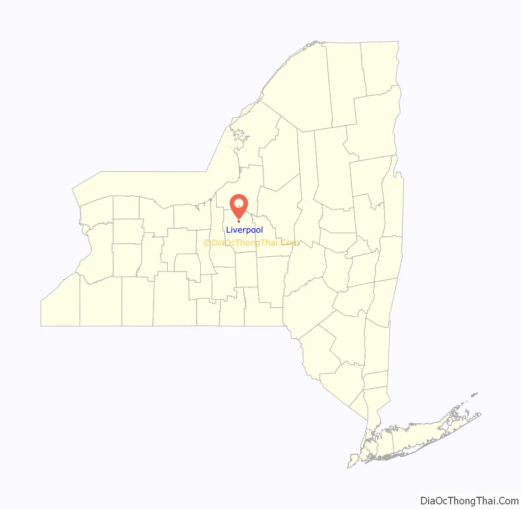
Liverpool location map. Where is Liverpool village?
History
The area was originally inhabited by the Iroquois, starting in the 16th century. In the mid-17th century, Canadian French Jesuits visited the area, setting up missions. These were not permanent, however. An example of these missions is Sainte Marie among the Iroquois, on Onondaga Lake just outside the village. Once the (Erie Canal) and (Oswego Canal) were built, the area was settled by Irish canal workers, Yankee settlers, and, later, German immigrants. The early recorded name for the village was “Little Ireland”.
The Lucius Gleason House and Liverpool Cemetery are listed on the National Register of Historic Places.
Erie Canal and salt
Early industries included several salt works in the 19th century and a sawmill. Liverpool played an important role in the salt industry on the shores of Onondaga Lake. A history of the area’s salt mining can be found at the Salt Museum.
Village incorporated
The New York State surveyor general laid out the streets in the village and changed its name from “Little Ireland” to Liverpool. The village was incorporated on April 20, 1830. It was named after the city of Liverpool in England. This was probably done because like its eponym, Liverpool, also produced salt, and village leaders wanted to capitalize on the name of another famous salt-producing region.
Industry
The hotel business was booming. George Ingersoll built the Globe Hotel. Liverpool was also a cigar manufacturing center during the 1890s. In 1918, the Oswego Canal was closed. Onondaga Lake Park, established in 1931, is now the location of much of the old canal bed.
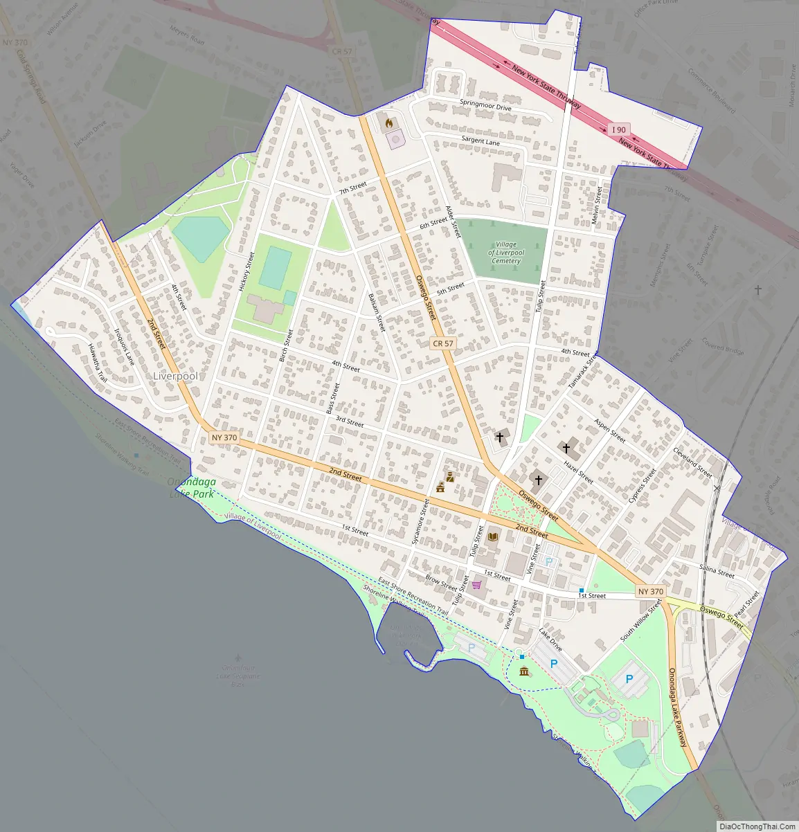
Liverpool Road Map
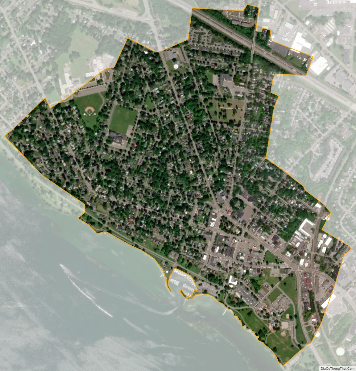
Liverpool city Satellite Map
Geography
Liverpool is at 43°6′21″N 76°12′34″W / 43.10583°N 76.20944°W / 43.10583; -76.20944 (43.105967, -76.209564). It takes up most of the northeastern bank of Onondaga Lake. Onondaga Lake Park is one of the most prominent locales in Liverpool, known for its several trams that travel the length of the park. It attracts over one million visitors each year.
According to the United States Census Bureau, the village has an area of 0.8 square miles (2.1 km), all land.
New York State Route 370 is an east–west highway that runs through the village. The New York State Thruway (Interstate 90) passes through the northern part of the village.
Liverpool is also home to a Lockheed Martin factory.
See also
Map of New York State and its subdivision:- Albany
- Allegany
- Bronx
- Broome
- Cattaraugus
- Cayuga
- Chautauqua
- Chemung
- Chenango
- Clinton
- Columbia
- Cortland
- Delaware
- Dutchess
- Erie
- Essex
- Franklin
- Fulton
- Genesee
- Greene
- Hamilton
- Herkimer
- Jefferson
- Kings
- Lake Ontario
- Lewis
- Livingston
- Madison
- Monroe
- Montgomery
- Nassau
- New York
- Niagara
- Oneida
- Onondaga
- Ontario
- Orange
- Orleans
- Oswego
- Otsego
- Putnam
- Queens
- Rensselaer
- Richmond
- Rockland
- Saint Lawrence
- Saratoga
- Schenectady
- Schoharie
- Schuyler
- Seneca
- Steuben
- Suffolk
- Sullivan
- Tioga
- Tompkins
- Ulster
- Warren
- Washington
- Wayne
- Westchester
- Wyoming
- Yates
- Alabama
- Alaska
- Arizona
- Arkansas
- California
- Colorado
- Connecticut
- Delaware
- District of Columbia
- Florida
- Georgia
- Hawaii
- Idaho
- Illinois
- Indiana
- Iowa
- Kansas
- Kentucky
- Louisiana
- Maine
- Maryland
- Massachusetts
- Michigan
- Minnesota
- Mississippi
- Missouri
- Montana
- Nebraska
- Nevada
- New Hampshire
- New Jersey
- New Mexico
- New York
- North Carolina
- North Dakota
- Ohio
- Oklahoma
- Oregon
- Pennsylvania
- Rhode Island
- South Carolina
- South Dakota
- Tennessee
- Texas
- Utah
- Vermont
- Virginia
- Washington
- West Virginia
- Wisconsin
- Wyoming