Lloyd Harbor is a village in the Town of Huntington in Suffolk County, on the North Shore of Long Island, in New York, United States. As of the 2010 census, the village’s population was 3,660.
| Name: | Lloyd Harbor village |
|---|---|
| LSAD Code: | 47 |
| LSAD Description: | village (suffix) |
| State: | New York |
| County: | Suffolk County |
| Incorporated: | 1926 |
| Elevation: | 138 ft (42 m) |
| Total Area: | 10.66 sq mi (27.61 km²) |
| Land Area: | 9.33 sq mi (24.17 km²) |
| Water Area: | 1.33 sq mi (3.44 km²) |
| Total Population: | 3,571 |
| Population Density: | 382.66/sq mi (147.75/km²) |
| ZIP code: | 11743 |
| Area code: | 631, 934 |
| FIPS code: | 3643005 |
| GNISfeature ID: | 0955762 |
| Website: | www.lloydharbor.org |
Online Interactive Map
Click on ![]() to view map in "full screen" mode.
to view map in "full screen" mode.
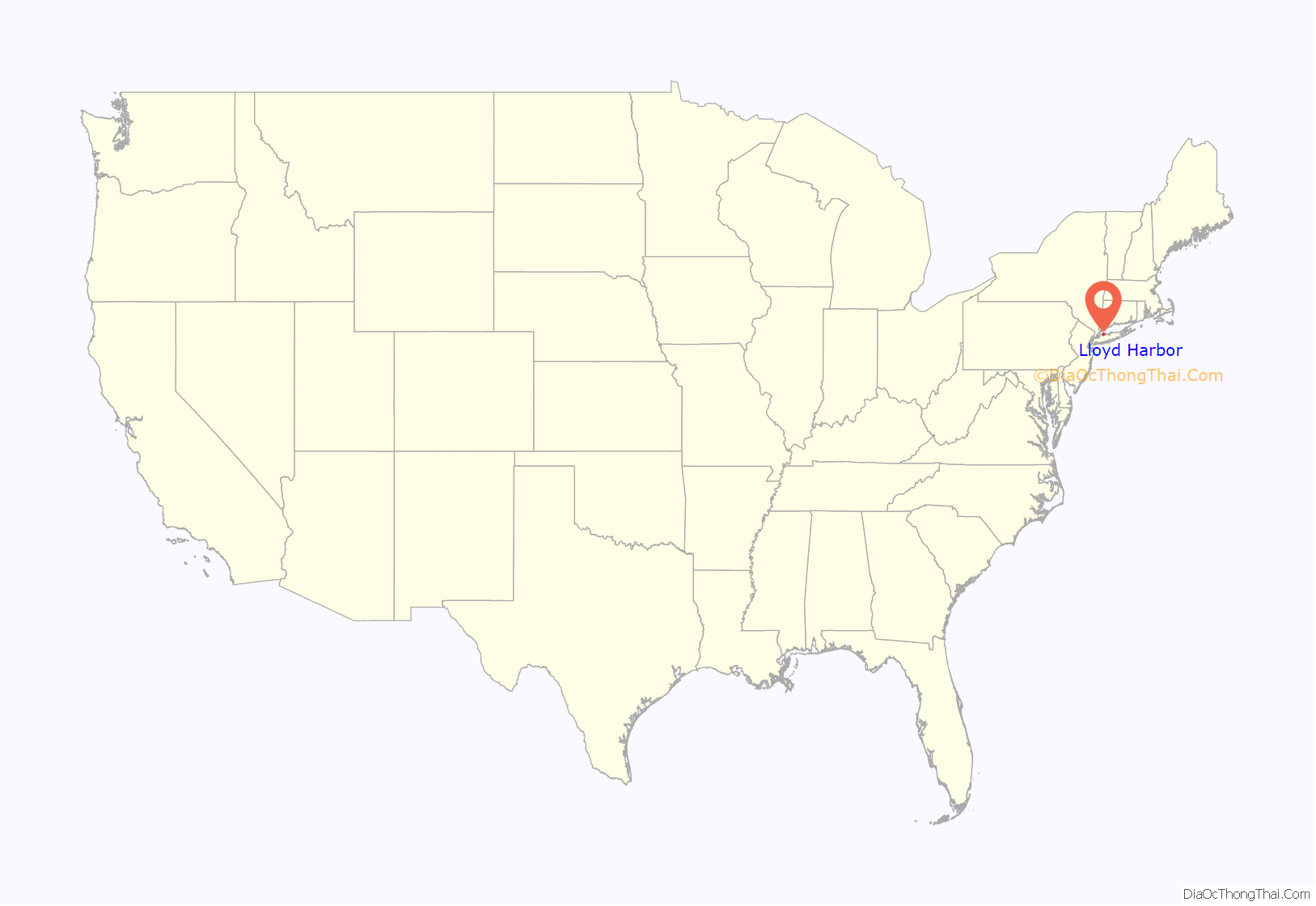
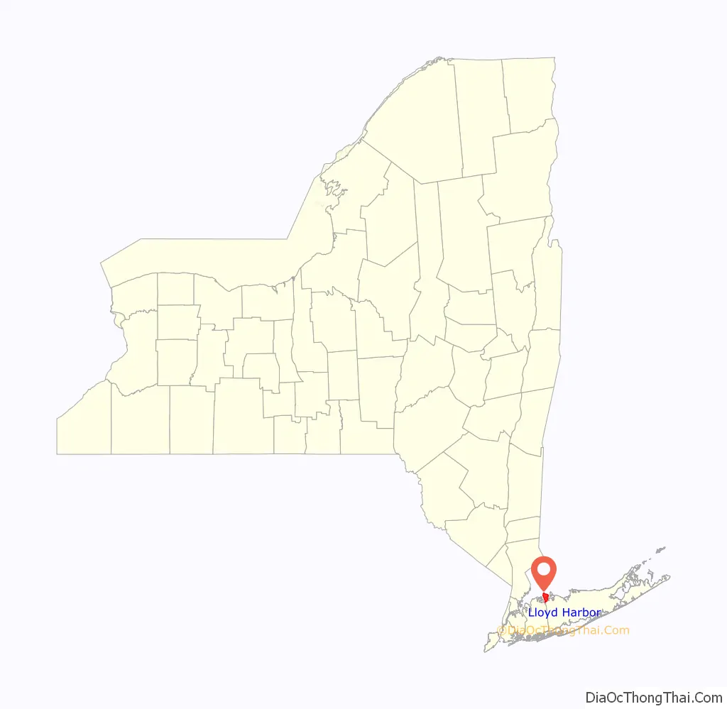
Lloyd Harbor location map. Where is Lloyd Harbor village?
History
In 1654, the Matinecock Native Americans sold 3,000 acres (12 km) of what is now called Lloyd Neck to English settlers from Oyster Bay. The Matinecock referred to the region as Caumsett (“place by sharp rock”). In 1676, James Lloyd acquired the neck, which was then taken over by his son Henry. Henry Lloyd farmed the land and erected a house, which still survives in Caumsett State Park. After his death in 1763, his son Joseph built the Joseph Lloyd Manor House, which he was forced to abandon by the British during the Revolutionary War. The British built several fortifications in the neck, including Fort Franklin. Henry Lloyd IV was the last Lloyd to own the estate, in 1841. In the 1880s, it became a stop for steamboats coming from New York City, bringing tourists and wealthy New Yorkers.
In 1886, Lloyd’s Neck, which was then part of the town of Oyster Bay and had earlier been known as Queens Village, was set off and separated from Queens County and annexed to the town of Huntington in Suffolk County.
The 1900s ushered the era of the Long Island Gold Coast, and various wealthy families began to buy land and build seaside mansions and estates. These included William Matheson, Marshall Field III, Ronald Conklin, Harold Dimppel, Sr., Ferdinand Eberstadt and George McKesson. In 1926, Lloyd Neck and West Neck became incorporated as a municipality which was named Lloyd Harbor.
Robin Gibb, Charles Lindbergh, Jerry Seinfeld and Billy Joel have each lived on the Neck for a time. Currently many of these estates have been adapted for other uses. Marshall Field III’s estate is now Caumsett State Historic Park, and the Conklin estate is a Roman Catholic seminary. Others have become a county park and a wildlife refuge. Charles Robertson’s estate is now the Banbury Center, a small conference center of Cold Spring Harbor Laboratory.
In 1969 the Long Island Lighting Company proposed locating a nuclear power plant in the community. Local opposition quickly defeated the plan, with Ferdinand Eberstadt donating his 80-acre (320,000 m) estate to the U.S. Fish and Wildlife Service to become Target Rock National Wildlife Refuge.
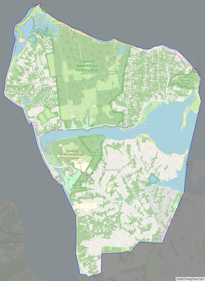
Lloyd Harbor Road Map
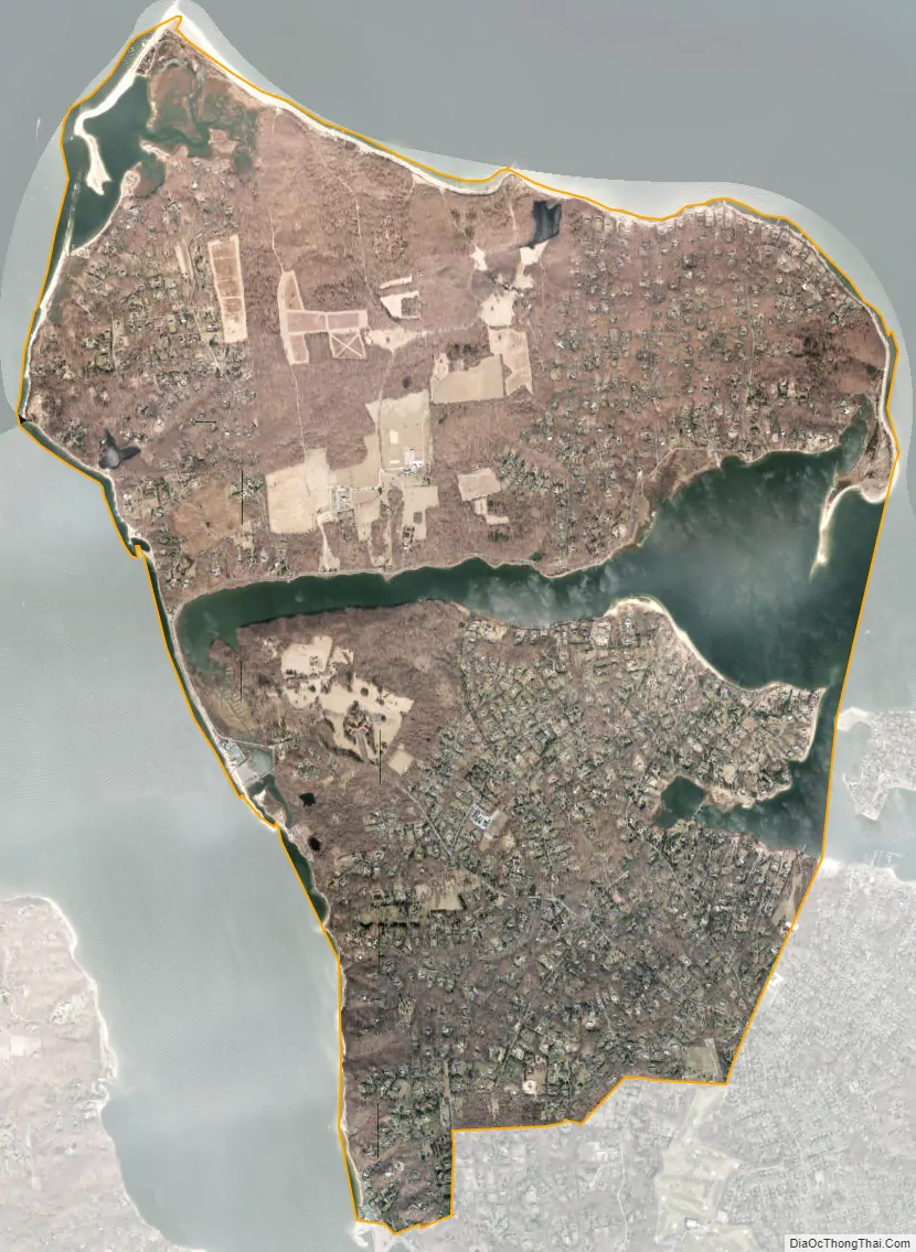
Lloyd Harbor city Satellite Map
Geography
According to the United States Census Bureau, the village has a total area of 10.6 square miles (27 km), of which 9.4 square miles (24 km) is land and 1.3 square miles (3.4 km), or 12.03%, is water.
See also
Map of New York State and its subdivision:- Albany
- Allegany
- Bronx
- Broome
- Cattaraugus
- Cayuga
- Chautauqua
- Chemung
- Chenango
- Clinton
- Columbia
- Cortland
- Delaware
- Dutchess
- Erie
- Essex
- Franklin
- Fulton
- Genesee
- Greene
- Hamilton
- Herkimer
- Jefferson
- Kings
- Lake Ontario
- Lewis
- Livingston
- Madison
- Monroe
- Montgomery
- Nassau
- New York
- Niagara
- Oneida
- Onondaga
- Ontario
- Orange
- Orleans
- Oswego
- Otsego
- Putnam
- Queens
- Rensselaer
- Richmond
- Rockland
- Saint Lawrence
- Saratoga
- Schenectady
- Schoharie
- Schuyler
- Seneca
- Steuben
- Suffolk
- Sullivan
- Tioga
- Tompkins
- Ulster
- Warren
- Washington
- Wayne
- Westchester
- Wyoming
- Yates
- Alabama
- Alaska
- Arizona
- Arkansas
- California
- Colorado
- Connecticut
- Delaware
- District of Columbia
- Florida
- Georgia
- Hawaii
- Idaho
- Illinois
- Indiana
- Iowa
- Kansas
- Kentucky
- Louisiana
- Maine
- Maryland
- Massachusetts
- Michigan
- Minnesota
- Mississippi
- Missouri
- Montana
- Nebraska
- Nevada
- New Hampshire
- New Jersey
- New Mexico
- New York
- North Carolina
- North Dakota
- Ohio
- Oklahoma
- Oregon
- Pennsylvania
- Rhode Island
- South Carolina
- South Dakota
- Tennessee
- Texas
- Utah
- Vermont
- Virginia
- Washington
- West Virginia
- Wisconsin
- Wyoming


