Malverne is a village in the Town of Hempstead in Nassau County, on Long Island, in New York, United States. The population was 8,514 at the 2010 census.
| Name: | Malverne village |
|---|---|
| LSAD Code: | 47 |
| LSAD Description: | village (suffix) |
| State: | New York |
| County: | Nassau County |
| Incorporated: | April 20, 1921 |
| Elevation: | 36 ft (11 m) |
| Total Area: | 1.06 sq mi (2.74 km²) |
| Land Area: | 1.06 sq mi (2.74 km²) |
| Water Area: | 0.00 sq mi (0.00 km²) |
| Total Population: | 8,560 |
| Population Density: | 8,090.74/sq mi (3,124.03/km²) |
| ZIP code: | 11565 |
| Area code: | 516 |
| FIPS code: | 3644787 |
| GNISfeature ID: | 0956328 |
| Website: | www.malvernevillage.org |
Online Interactive Map
Click on ![]() to view map in "full screen" mode.
to view map in "full screen" mode.
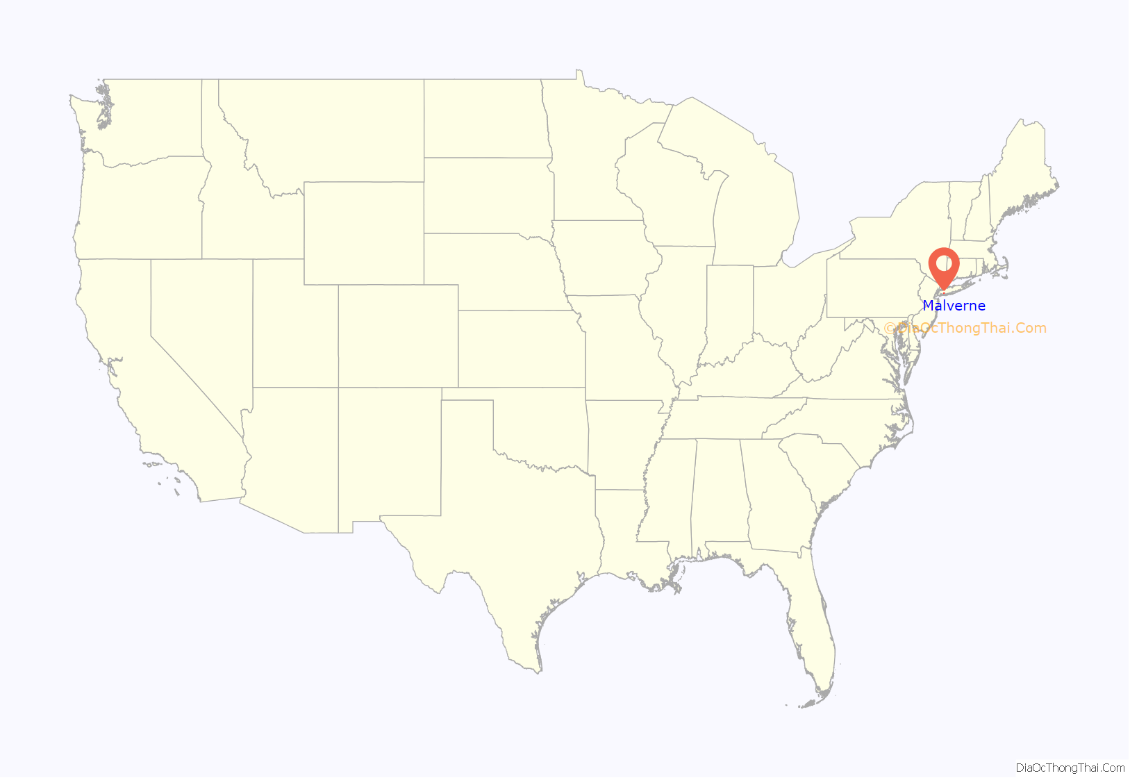
Malverne location map. Where is Malverne village?
History
Malverne was originally settled by the Rockaway Indians at an unknown point in history, with the current Ocean Avenue serving as an Indian path. Western settlements can be dated back to the 1700s, when the Abrams, Bedell and Pearsall families first settled and began farming the area.
Norwood, as it was originally known, formed a movement to become an incorporated village in the early 1920s. This area originally consisted of the communities of North Lynbrook and Malverne Park Oaks. It is widely believed that residents of the now Malverne Park Oaks area did not wish to become part of the new village and therefore requested not to be included. North Lynbrook was believed to be removed from the borders by then New York Lieutenant Governor Jeremiah Wood, who lived in that area at that time and did not wish to be in an incorporated village.
A vote was taken and voters decided to form an incorporated village by an overwhelming majority.
The spelling of the name was originally Malvern, minus the “e” as in the English connection. When the Long Island Rail Road started service to Malvern they spelled the name Malverne, with the “e”. Although Malvern attempted to fix the error, the village changed the name to Malverne, as so many people thought the name was spelled with the “e”. This is a further indication of how important rail service was to villages across the country and how powerful their effects were felt upon them. The last farm in Malverne, Crossroads Farm at Grossman’s was acquired by Nassau County and continues to operate as the last working farm in the village.
The name was changed from Norwood to Malverne because a Village of Norwood already existed in upstate New York. The name Malverne originates from Malvern, England. Alfred Wagg, the main developers from the Amsterdam Development and Land Corporation, had visited Malvern and liked the name.
Malverne’s incorporation was finalized on April 13, 1921; however, it had been acting as a village since October 1920. The village has celebrated the 1921 anniversary at the 25-year, 50-year, and 75-year.
Malverne was originally made up of many different communities (under one incorporated village). The communities were mostly made up of the original farmer of that area and those he sold his land to. While it is no longer viewed the same way, some of the neighborhood names can be found in the street names.
The village’s growth has been credited to two major events – the selling of farmland for development and the Long Island Rail Road. The Amsterdam Development Corporation is responsible for the building of many of the homes in the village. Today, there are over 3000 homes in the village.
Today, many of its residents commute to New York City via the two Long Island Rail Road stations in the village – Malverne and Westwood, both located on the West Hempstead Branch. After a three-year hiatus, weekend train service was restored to the branch in November 2014.
Malverne Road Map
Malverne city Satellite Map
Geography
According to the United States Census Bureau, the village has a total area of 1.0 square mile (2.6 km), all land.
See also
Map of New York State and its subdivision:- Albany
- Allegany
- Bronx
- Broome
- Cattaraugus
- Cayuga
- Chautauqua
- Chemung
- Chenango
- Clinton
- Columbia
- Cortland
- Delaware
- Dutchess
- Erie
- Essex
- Franklin
- Fulton
- Genesee
- Greene
- Hamilton
- Herkimer
- Jefferson
- Kings
- Lake Ontario
- Lewis
- Livingston
- Madison
- Monroe
- Montgomery
- Nassau
- New York
- Niagara
- Oneida
- Onondaga
- Ontario
- Orange
- Orleans
- Oswego
- Otsego
- Putnam
- Queens
- Rensselaer
- Richmond
- Rockland
- Saint Lawrence
- Saratoga
- Schenectady
- Schoharie
- Schuyler
- Seneca
- Steuben
- Suffolk
- Sullivan
- Tioga
- Tompkins
- Ulster
- Warren
- Washington
- Wayne
- Westchester
- Wyoming
- Yates
- Alabama
- Alaska
- Arizona
- Arkansas
- California
- Colorado
- Connecticut
- Delaware
- District of Columbia
- Florida
- Georgia
- Hawaii
- Idaho
- Illinois
- Indiana
- Iowa
- Kansas
- Kentucky
- Louisiana
- Maine
- Maryland
- Massachusetts
- Michigan
- Minnesota
- Mississippi
- Missouri
- Montana
- Nebraska
- Nevada
- New Hampshire
- New Jersey
- New Mexico
- New York
- North Carolina
- North Dakota
- Ohio
- Oklahoma
- Oregon
- Pennsylvania
- Rhode Island
- South Carolina
- South Dakota
- Tennessee
- Texas
- Utah
- Vermont
- Virginia
- Washington
- West Virginia
- Wisconsin
- Wyoming


