Manorhaven is a village in Nassau County, on the North Shore of Long Island, in New York, United States. It is considered part of the Greater Port Washington area, which is anchored by Port Washington. The population was 6,556 at the 2010 census.
The Incorporated Village of Manorhaven is located on the Cow Neck Peninsula, within the Town of North Hempstead.
| Name: | Manorhaven village |
|---|---|
| LSAD Code: | 47 |
| LSAD Description: | village (suffix) |
| State: | New York |
| County: | Nassau County |
| Incorporated: | 1930 |
| Elevation: | 16 ft (5 m) |
| Total Area: | 0.63 sq mi (1.64 km²) |
| Land Area: | 0.47 sq mi (1.22 km²) |
| Water Area: | 0.17 sq mi (0.43 km²) |
| Total Population: | 6,956 |
| Population Density: | 14,831.56/sq mi (5,720.55/km²) |
| ZIP code: | 11050 |
| Area code: | 516 |
| FIPS code: | 3645106 |
| GNISfeature ID: | 0956378 |
| Website: | www.manorhaven.org |
Online Interactive Map
Click on ![]() to view map in "full screen" mode.
to view map in "full screen" mode.
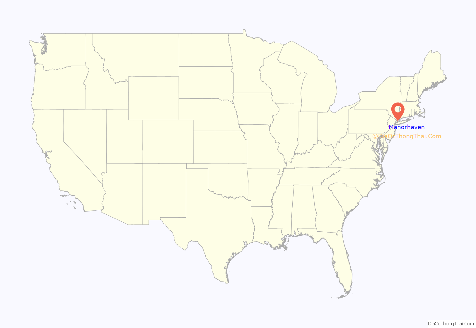
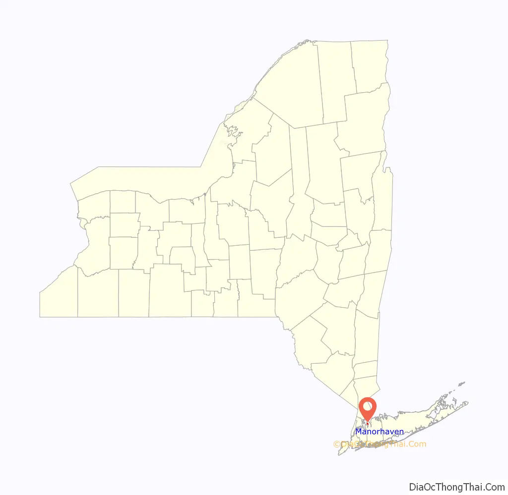
Manorhaven location map. Where is Manorhaven village?
History
Manorhaven was incorporated in 1930, after news was spread that Port Washington was planning on incorporating itself as a city. The name of the village was selected by locals, who felt that it reflected the feel and nature of the area.
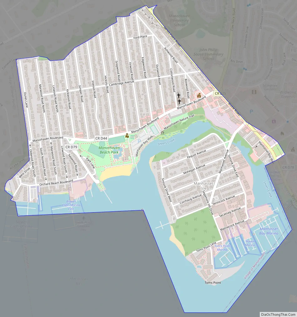
Manorhaven Road Map
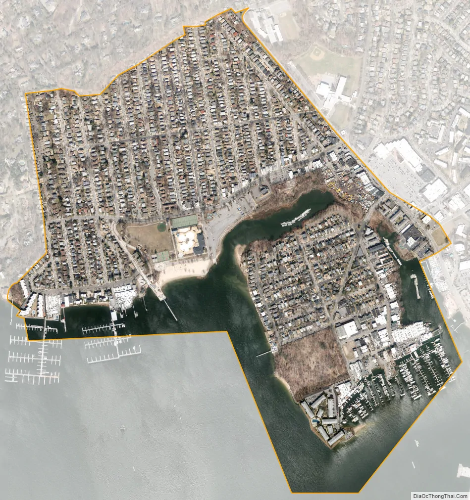
Manorhaven city Satellite Map
Geography
According to the United States Census Bureau, the village has a total area of 0.6 square miles (1.6 km), of which 0.5 square miles (1.3 km) is land and 0.2 square miles (0.52 km), or 25.40%, is water.
Manorhaven is located within the Manhasset Bay Watershed, and is located within the larger Long Island Sound/Atlantic Ocean Watershed.
According to the United States Environmental Protection Agency and the United States Geological Survey, the highest point in Manorhaven is located at the northeastern corner of the village, at approximately 90 feet (27 m), and the lowest point is Manhasset Bay, which is at sea level.
See also
Map of New York State and its subdivision:- Albany
- Allegany
- Bronx
- Broome
- Cattaraugus
- Cayuga
- Chautauqua
- Chemung
- Chenango
- Clinton
- Columbia
- Cortland
- Delaware
- Dutchess
- Erie
- Essex
- Franklin
- Fulton
- Genesee
- Greene
- Hamilton
- Herkimer
- Jefferson
- Kings
- Lake Ontario
- Lewis
- Livingston
- Madison
- Monroe
- Montgomery
- Nassau
- New York
- Niagara
- Oneida
- Onondaga
- Ontario
- Orange
- Orleans
- Oswego
- Otsego
- Putnam
- Queens
- Rensselaer
- Richmond
- Rockland
- Saint Lawrence
- Saratoga
- Schenectady
- Schoharie
- Schuyler
- Seneca
- Steuben
- Suffolk
- Sullivan
- Tioga
- Tompkins
- Ulster
- Warren
- Washington
- Wayne
- Westchester
- Wyoming
- Yates
- Alabama
- Alaska
- Arizona
- Arkansas
- California
- Colorado
- Connecticut
- Delaware
- District of Columbia
- Florida
- Georgia
- Hawaii
- Idaho
- Illinois
- Indiana
- Iowa
- Kansas
- Kentucky
- Louisiana
- Maine
- Maryland
- Massachusetts
- Michigan
- Minnesota
- Mississippi
- Missouri
- Montana
- Nebraska
- Nevada
- New Hampshire
- New Jersey
- New Mexico
- New York
- North Carolina
- North Dakota
- Ohio
- Oklahoma
- Oregon
- Pennsylvania
- Rhode Island
- South Carolina
- South Dakota
- Tennessee
- Texas
- Utah
- Vermont
- Virginia
- Washington
- West Virginia
- Wisconsin
- Wyoming


