Marcellus is a village in the town of Marcellus in Onondaga County, New York, United States. As of the 2020 census, the population was 1,745. The village is southwest of Syracuse and is in the southern part of the town of Marcellus.
| Name: | Marcellus village |
|---|---|
| LSAD Code: | 47 |
| LSAD Description: | village (suffix) |
| State: | New York |
| County: | Onondaga County |
| Incorporated: | 1853 |
| Total Area: | 0.64 sq mi (1.66 km²) |
| Land Area: | 0.64 sq mi (1.66 km²) |
| Water Area: | 0.00 sq mi (0.00 km²) |
| Total Population: | 1,745 |
| Population Density: | 2,730.83/sq mi (1,054.01/km²) |
| Area code: | 315 |
| FIPS code: | 3645480 |
| Website: | villageofmarcellus.com |
Online Interactive Map
Click on ![]() to view map in "full screen" mode.
to view map in "full screen" mode.
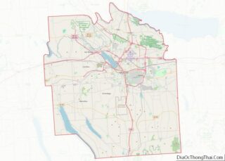
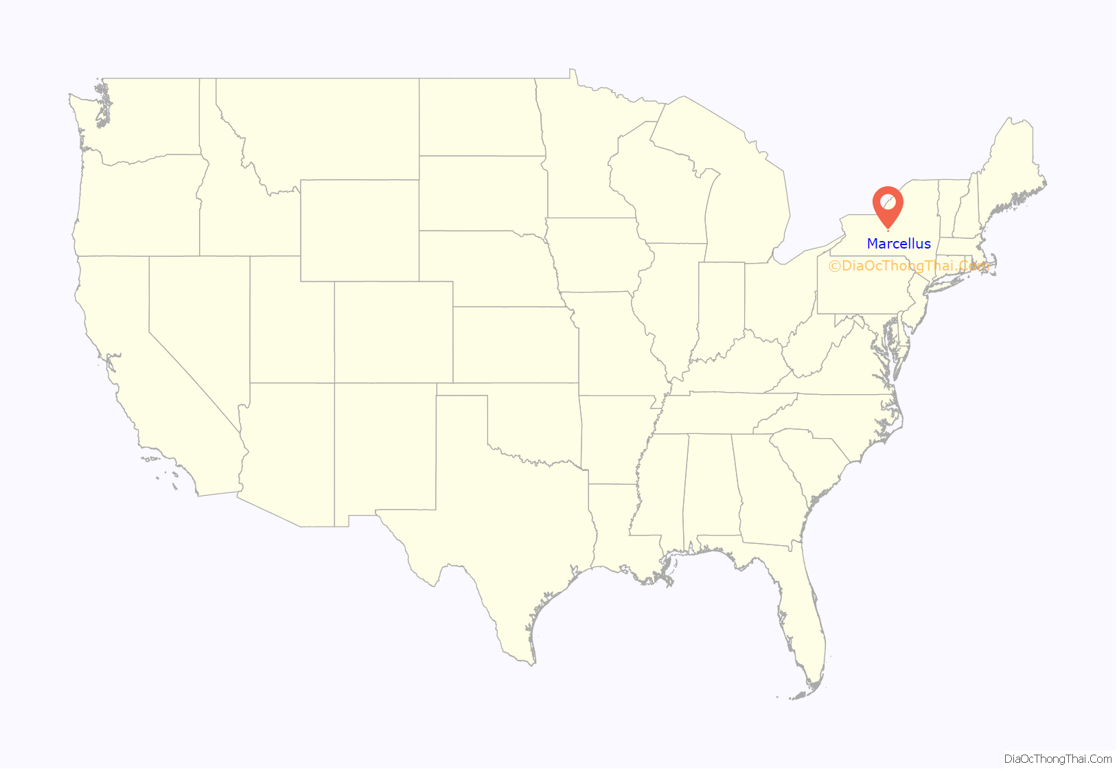
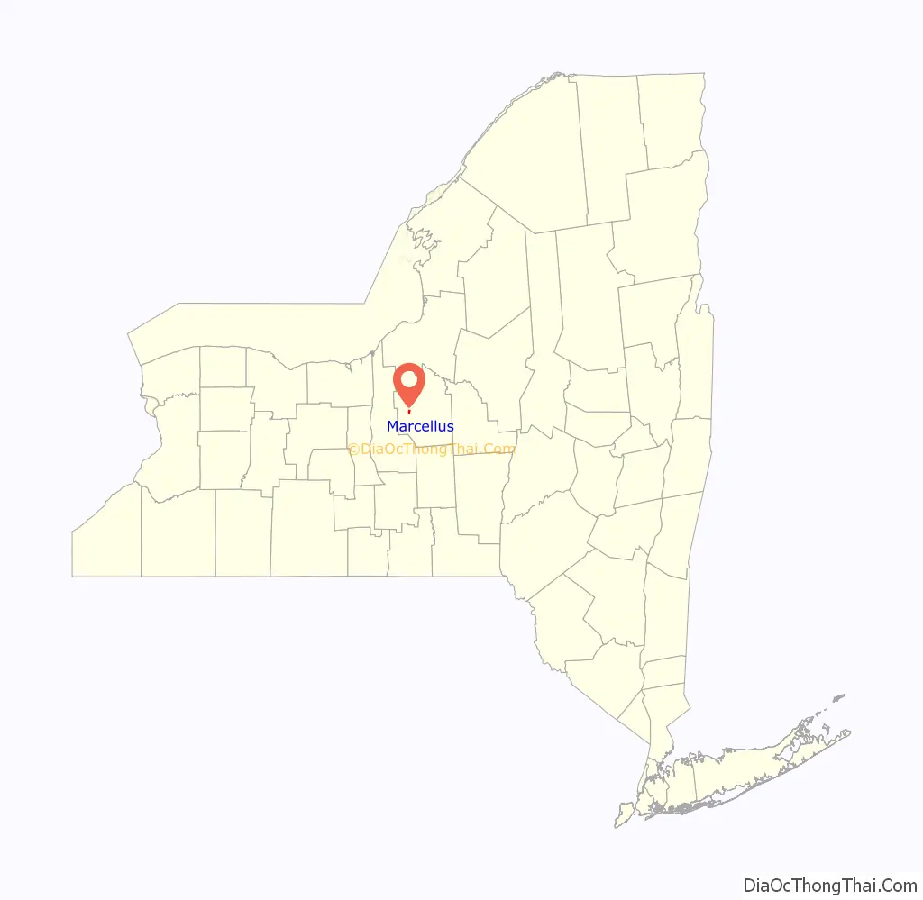
Marcellus location map. Where is Marcellus village?
History
Settled in the late eighteenth century, the village was incorporated in 1853. Water power from Nine Mile Creek attracted mill development (wool, paper, and gunpowder) while the Seneca Turnpike (image above), passing through the village center, provided access.
The Dan Bradley House was listed on the National Register of Historic Places in 1978.
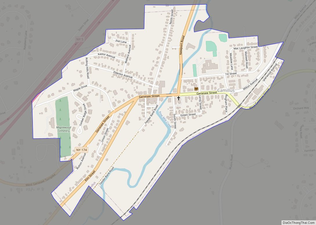
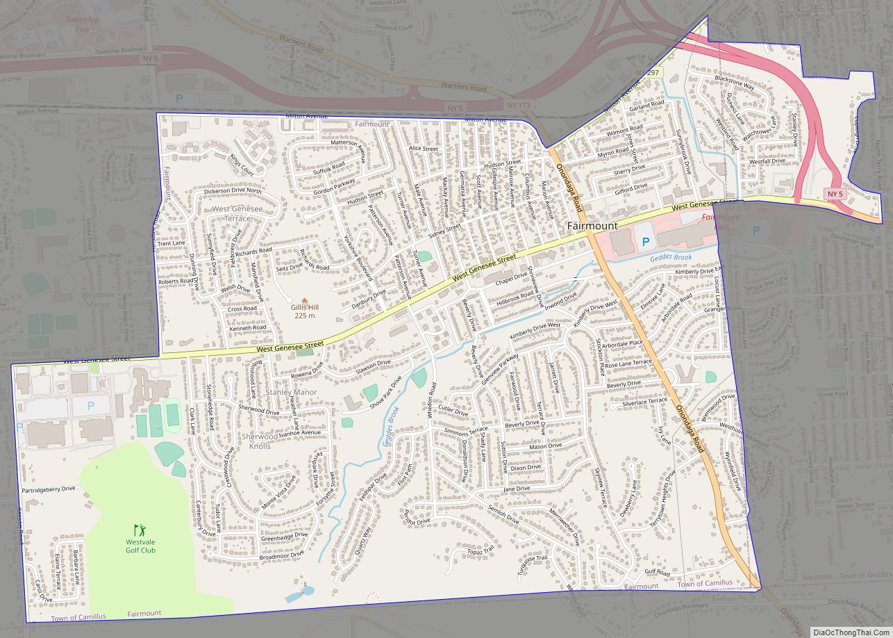
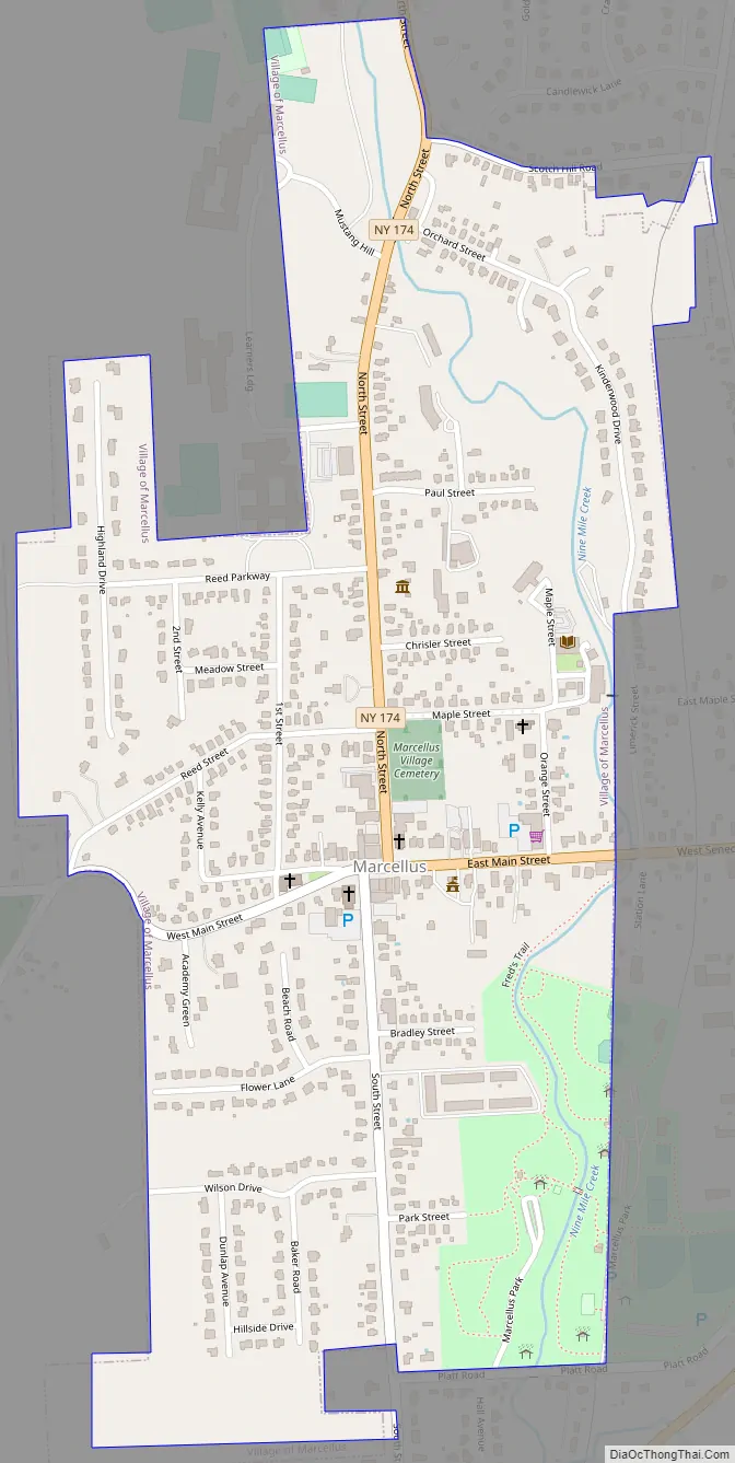
Marcellus Road Map
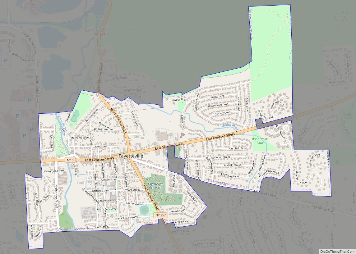
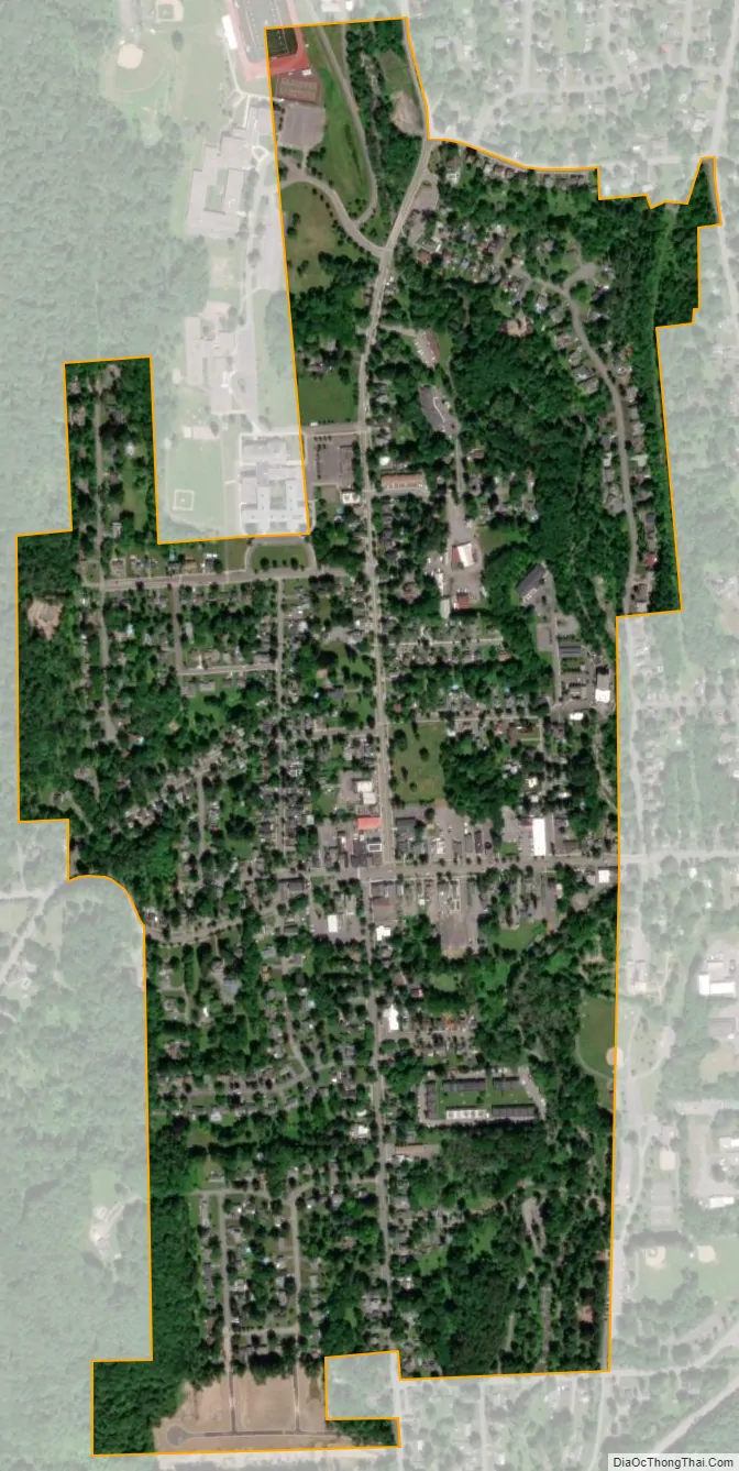
Marcellus city Satellite Map
Geography
Marcellus is in a scenic region at 42°59′08″N 76°20′29″W / 42.985572°N 76.341378°W / 42.985572; -76.341378Coordinates: 42°59′08″N 76°20′29″W / 42.985572°N 76.341378°W / 42.985572; -76.341378 (42.985572, -76.341378). Otisco Lake is to the south, Skaneateles Lake to the west, and Nine-Mile Creek, a trout stream, to the north. According to the United States Census Bureau, the village has a total area of 0.6 square mile (1.6 km), all land.
New York State Route 175, an east–west highway, intersects New York State Route 174 at Marcellus village.
See also
Map of New York State and its subdivision:- Albany
- Allegany
- Bronx
- Broome
- Cattaraugus
- Cayuga
- Chautauqua
- Chemung
- Chenango
- Clinton
- Columbia
- Cortland
- Delaware
- Dutchess
- Erie
- Essex
- Franklin
- Fulton
- Genesee
- Greene
- Hamilton
- Herkimer
- Jefferson
- Kings
- Lake Ontario
- Lewis
- Livingston
- Madison
- Monroe
- Montgomery
- Nassau
- New York
- Niagara
- Oneida
- Onondaga
- Ontario
- Orange
- Orleans
- Oswego
- Otsego
- Putnam
- Queens
- Rensselaer
- Richmond
- Rockland
- Saint Lawrence
- Saratoga
- Schenectady
- Schoharie
- Schuyler
- Seneca
- Steuben
- Suffolk
- Sullivan
- Tioga
- Tompkins
- Ulster
- Warren
- Washington
- Wayne
- Westchester
- Wyoming
- Yates
- Alabama
- Alaska
- Arizona
- Arkansas
- California
- Colorado
- Connecticut
- Delaware
- District of Columbia
- Florida
- Georgia
- Hawaii
- Idaho
- Illinois
- Indiana
- Iowa
- Kansas
- Kentucky
- Louisiana
- Maine
- Maryland
- Massachusetts
- Michigan
- Minnesota
- Mississippi
- Missouri
- Montana
- Nebraska
- Nevada
- New Hampshire
- New Jersey
- New Mexico
- New York
- North Carolina
- North Dakota
- Ohio
- Oklahoma
- Oregon
- Pennsylvania
- Rhode Island
- South Carolina
- South Dakota
- Tennessee
- Texas
- Utah
- Vermont
- Virginia
- Washington
- West Virginia
- Wisconsin
- Wyoming