Massapequa (/ˌmæsəˈpiːkwə/, mass-ə-PEEK-wə) is a hamlet and census-designated place (CDP) in the Town of Oyster Bay in Nassau County, on the South Shore of Long Island, in New York, United States. It is considered the anchor community of the Greater Massapequa area. The population of the CDP was 21,685 at the time of the 2010 census.
The Greater Massapequa area, which includes the nearby CDPs of North Massapequa and East Massapequa, as well as the Incorporated Village of Massapequa Park, has a combined population of over 75,000.
| Name: | Massapequa CDP |
|---|---|
| LSAD Code: | 57 |
| LSAD Description: | CDP (suffix) |
| State: | New York |
| County: | Nassau County |
| Elevation: | 26 ft (8 m) |
| Total Area: | 3.99 sq mi (10.34 km²) |
| Land Area: | 3.56 sq mi (9.22 km²) |
| Water Area: | 0.43 sq mi (1.12 km²) |
| Total Population: | 21,355 |
| Population Density: | 6,000.28/sq mi (2,316.90/km²) |
| ZIP code: | 11758 |
| Area code: | 516 |
| FIPS code: | 3645986 |
| GNISfeature ID: | 0956651 |
Online Interactive Map
Click on ![]() to view map in "full screen" mode.
to view map in "full screen" mode.
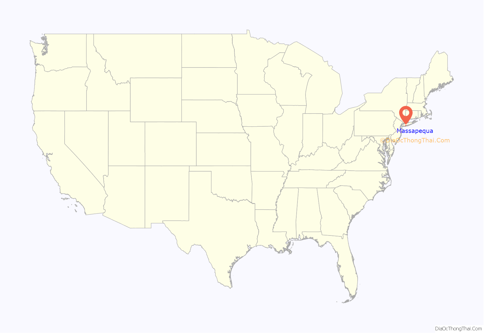
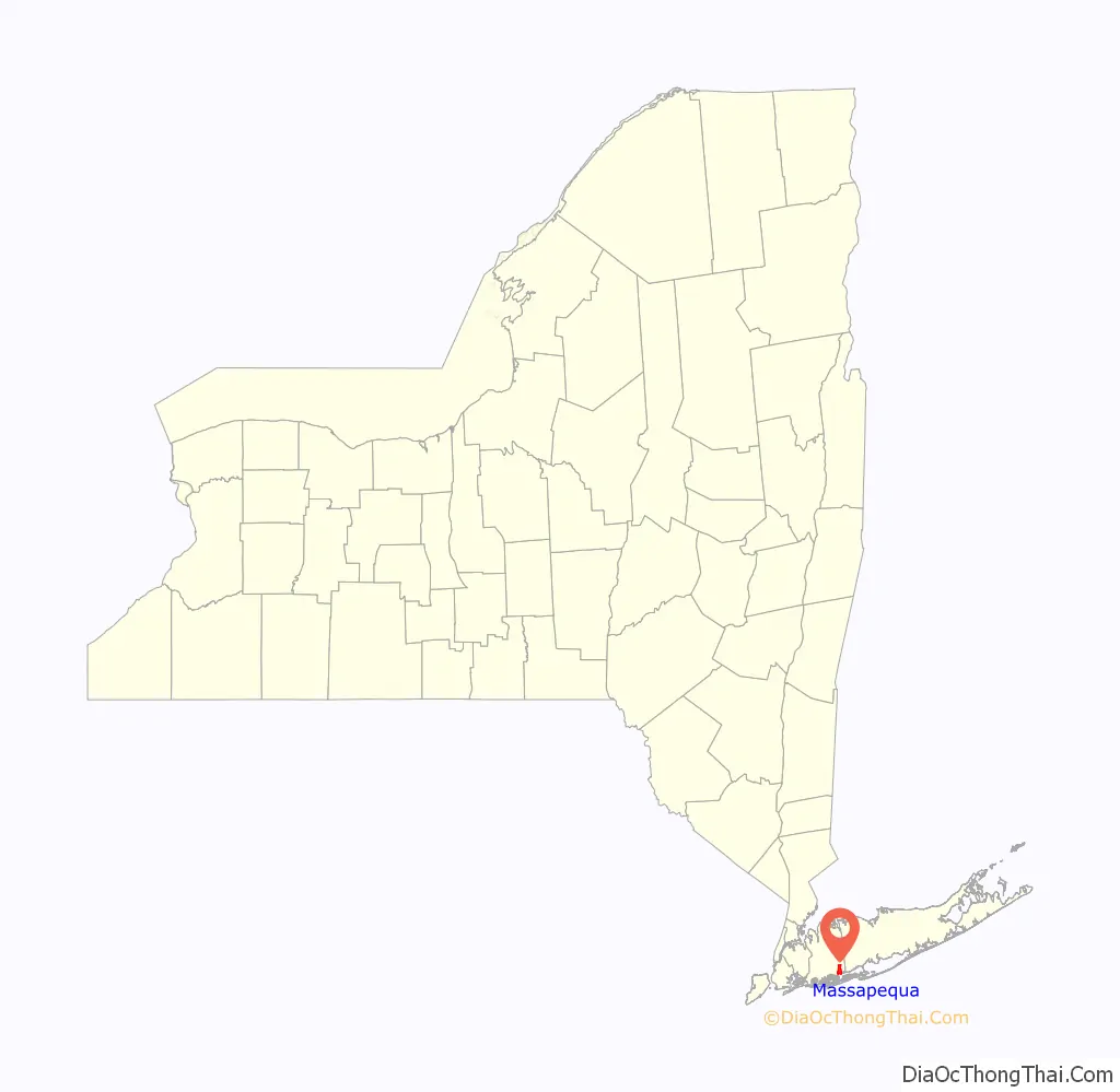
Massapequa location map. Where is Massapequa CDP?
History
A 19th-century writer identified Massapequa as one of the “13 tribes of Long Island,” but additional research has shown that they were a band of Lenape, the Algonquian-speaking people who occupied the western part of the island at the time of European encounter. The bands were identified by names of the geographic areas they occupied.
The Native Americans to the east spoke a different Algonquian language and were related to the Pequot people of Connecticut and southern New England, another in the large Algonquian languages family of tribes in coastal areas along the Atlantic Ocean. Major bands of Pequot in eastern Long Island were the Montaukett and Shinnecock. Today the Shinnecock Indian Nation has gained federal recognition and has a reservation on Long Island’s South Fork.
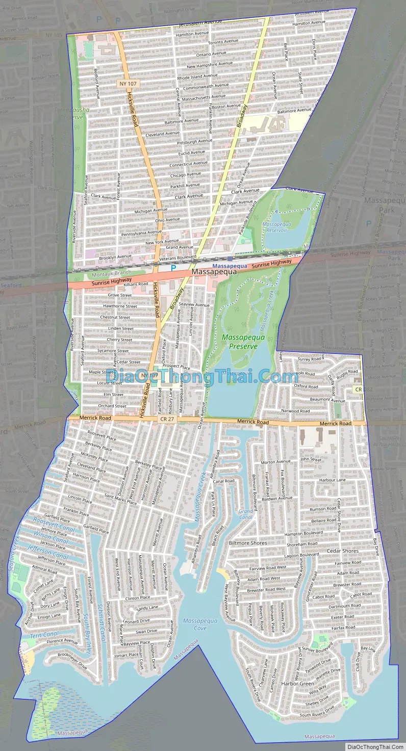
Massapequa Road Map
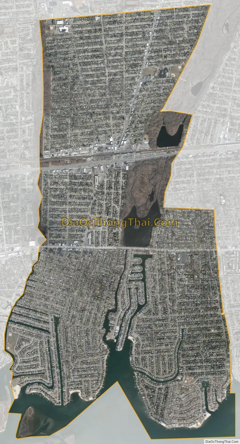
Massapequa city Satellite Map
Geography
According to the United States Census Bureau, the CDP has a total area of 4.0 square miles (10 km), of which 3.7 square miles (9.6 km) is land and 0.4 square miles (1.0 km), or 9.20%, is water.
Massapequa and nearby places with “Massapequa” in their names are sometimes collectively called “the Massapequas”.
Climate
Massapequa has a temperate climate that is very similar to other coastal areas of the Northeastern United States; it has warm, humid summers and cold winters, but the Atlantic Ocean helps bring afternoon sea breezes that temper the heat in the warmer months and limit the frequency and severity of thunderstorms. However, severe thunderstorms are not uncommon, especially when they approach the island from the mainland (Bronx, Westchester and Connecticut) in the northwest. In the wintertime, temperatures are warmer than areas further inland (especially in the night and early morning hours), often causing a snowstorm further inland to fall as rain on the island. However, measurable snowfalls every winter, and in many winters one or more intense storms called Nor’easters may occasionally produce blizzard conditions with snowfalls of 1–2 feet (30–60 cm) and near-hurricane-force winds. On average, 28″ of snow falls each winter in Massapequa. Long Island temperatures also vary from west to east, with the western part of the island warmer on most occasions than the east. This is due to two factors; one because the western part is closer to the mainland and the other is the western part is more developed causing what is known as the urban heat island effect.
This climate is classified as hot-summer humid continental (Dfa) which borders upon a humid subtropical climate (Cfa) on the coast. Average monthly temperatures in the central CDP range from 31.4 °F in January to 74.3 °F in July.
On August 25, 2006, a small F0 tornado struck Massapequa.
On Monday, October 29, 2012, Hurricane Sandy devastated much of Massapequa, especially south of Merrick Road where surging flood waters rose both along the shore and along the numerous canals that run a mile inland. Schools were closed for several days and weeks. Many residents remained without power for weeks after the storm because of downed power lines. Hundreds of houses and buildings sustained major flood damage and had to be gutted and renovated during the ensuing year.
See also
Map of New York State and its subdivision:- Albany
- Allegany
- Bronx
- Broome
- Cattaraugus
- Cayuga
- Chautauqua
- Chemung
- Chenango
- Clinton
- Columbia
- Cortland
- Delaware
- Dutchess
- Erie
- Essex
- Franklin
- Fulton
- Genesee
- Greene
- Hamilton
- Herkimer
- Jefferson
- Kings
- Lake Ontario
- Lewis
- Livingston
- Madison
- Monroe
- Montgomery
- Nassau
- New York
- Niagara
- Oneida
- Onondaga
- Ontario
- Orange
- Orleans
- Oswego
- Otsego
- Putnam
- Queens
- Rensselaer
- Richmond
- Rockland
- Saint Lawrence
- Saratoga
- Schenectady
- Schoharie
- Schuyler
- Seneca
- Steuben
- Suffolk
- Sullivan
- Tioga
- Tompkins
- Ulster
- Warren
- Washington
- Wayne
- Westchester
- Wyoming
- Yates
- Alabama
- Alaska
- Arizona
- Arkansas
- California
- Colorado
- Connecticut
- Delaware
- District of Columbia
- Florida
- Georgia
- Hawaii
- Idaho
- Illinois
- Indiana
- Iowa
- Kansas
- Kentucky
- Louisiana
- Maine
- Maryland
- Massachusetts
- Michigan
- Minnesota
- Mississippi
- Missouri
- Montana
- Nebraska
- Nevada
- New Hampshire
- New Jersey
- New Mexico
- New York
- North Carolina
- North Dakota
- Ohio
- Oklahoma
- Oregon
- Pennsylvania
- Rhode Island
- South Carolina
- South Dakota
- Tennessee
- Texas
- Utah
- Vermont
- Virginia
- Washington
- West Virginia
- Wisconsin
- Wyoming


