Massapequa Park is an incorporated village located within the Town of Oyster Bay in Nassau County, on the South Shore of Long Island, in New York, United States. The population was 17,008 at the 2010 census.
Areas south and east of the village borders are considered the hamlet of Massapequa because they are under the jurisdiction of the Town of Oyster Bay rather than the village. The hamlet shares the same zip code, fire department and school district as the village.
| Name: | Massapequa Park village |
|---|---|
| LSAD Code: | 47 |
| LSAD Description: | village (suffix) |
| State: | New York |
| County: | Nassau County |
| Incorporated: | 1931 |
| Elevation: | 23 ft (7 m) |
| Total Area: | 2.25 sq mi (5.82 km²) |
| Land Area: | 2.19 sq mi (5.68 km²) |
| Water Area: | 0.06 sq mi (0.14 km²) |
| Total Population: | 17,109 |
| Population Density: | 7,805.20/sq mi (3,013.76/km²) |
| ZIP code: | 11762 |
| FIPS code: | 3645997 |
| GNISfeature ID: | 2390968 |
| Website: | https://masspk.com/ |
Online Interactive Map
Click on ![]() to view map in "full screen" mode.
to view map in "full screen" mode.
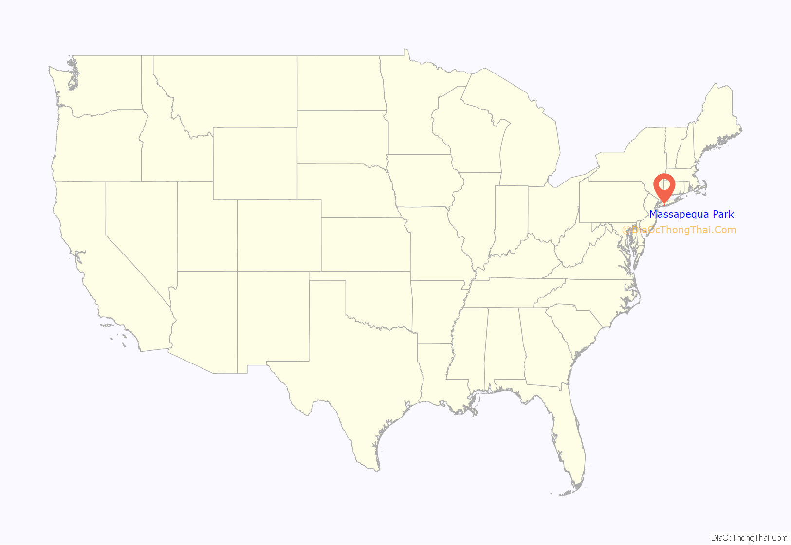
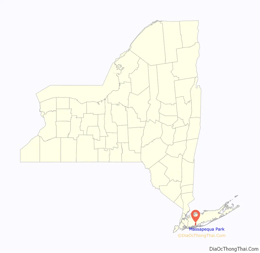
Massapequa Park location map. Where is Massapequa Park village?
History
The village located on the South Shore of Long Island shares the early Native American history of Massapequa. Then, in the 19th century, families of German descent relocated from Brooklyn to what is now Massapequa Park, and the resulting community was known as Wurtenberg or Stadtwurtemburg. The main attraction and center of activity was the Woodcastle Hotel, a rooming house built in 1868 on Front Street next to the fire department as a summer resort. It was destroyed by fire in 1952 and replaced by houses.
In 1928 readers of The New York Times saw ads for Massapequa Park, a development built by a real estate firm owned by Michael J. Brady, Frank Cryan and Peter Colleran. The three Irish-Americans described their project as having a bit of Old Erin and the area between Sunrise Highway and Merrick Road still has its mostly Irish street names.
In 1931, Massapequa Park was incorporated as a village to ensure control of land use and other issues. Several dozen kit houses from Sears Roebuck were built in two different areas of the Village. These include some of the largest model kit houses offered by Sears.
The village once had its own airport, the Fitzmaurice Flying Field, named in 1929 for James Fitzmaurice, one of a crew of three to be the first to fly a plane from east to west across the Atlantic (Baldonne, Ireland to Greenly Island in Labrador, Canada). An estimated 100,000 people came to the dedication of the field on Spruce Street. The field was used by private planes. The field was eventually closed and became the home for the athletic fields of the 4M Club, a popular youth athletic program founded by Larry Neusse, and supported by a wide range of local residents. Today the site is home to McKenna Elementary School (which used to be a junior high school) and the Nassau County Police Academy (which used to be Hawthorn Elementary School).
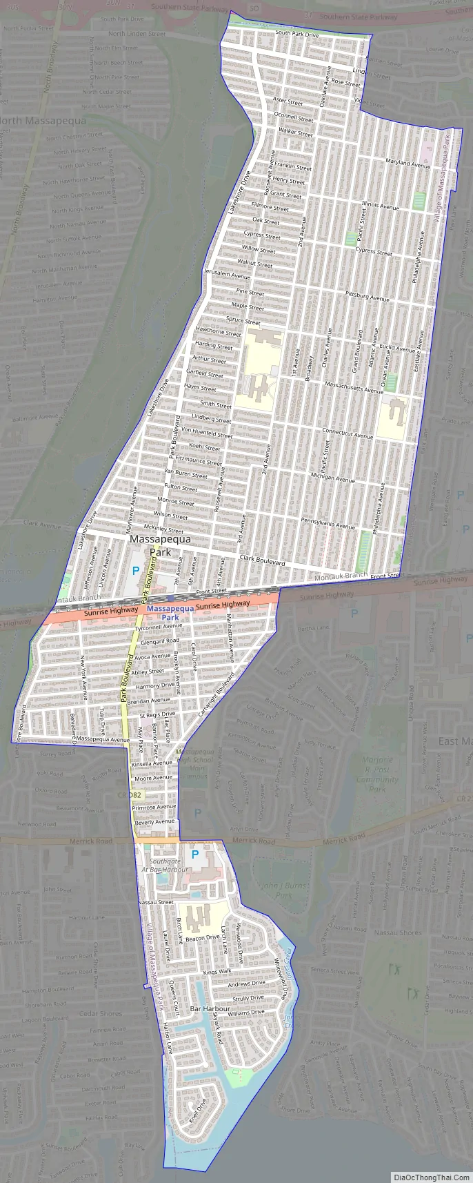
Massapequa Park Road Map
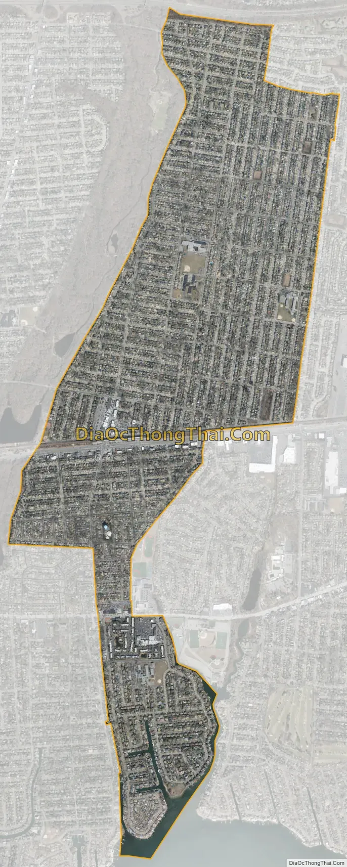
Massapequa Park city Satellite Map
Geography
The village is in the southern part of the Town of Oyster Bay, on Long Island, in New York.
Massapequa Park is bordered by Massapequa to the west, East Massapequa to the east, North Massapequa to the northwest, and South Farmingdale to the north. To its south, the village is bordered by South Oyster Bay – a large bay separating Long Island from Jones Beach Island.
See also
Map of New York State and its subdivision:- Albany
- Allegany
- Bronx
- Broome
- Cattaraugus
- Cayuga
- Chautauqua
- Chemung
- Chenango
- Clinton
- Columbia
- Cortland
- Delaware
- Dutchess
- Erie
- Essex
- Franklin
- Fulton
- Genesee
- Greene
- Hamilton
- Herkimer
- Jefferson
- Kings
- Lake Ontario
- Lewis
- Livingston
- Madison
- Monroe
- Montgomery
- Nassau
- New York
- Niagara
- Oneida
- Onondaga
- Ontario
- Orange
- Orleans
- Oswego
- Otsego
- Putnam
- Queens
- Rensselaer
- Richmond
- Rockland
- Saint Lawrence
- Saratoga
- Schenectady
- Schoharie
- Schuyler
- Seneca
- Steuben
- Suffolk
- Sullivan
- Tioga
- Tompkins
- Ulster
- Warren
- Washington
- Wayne
- Westchester
- Wyoming
- Yates
- Alabama
- Alaska
- Arizona
- Arkansas
- California
- Colorado
- Connecticut
- Delaware
- District of Columbia
- Florida
- Georgia
- Hawaii
- Idaho
- Illinois
- Indiana
- Iowa
- Kansas
- Kentucky
- Louisiana
- Maine
- Maryland
- Massachusetts
- Michigan
- Minnesota
- Mississippi
- Missouri
- Montana
- Nebraska
- Nevada
- New Hampshire
- New Jersey
- New Mexico
- New York
- North Carolina
- North Dakota
- Ohio
- Oklahoma
- Oregon
- Pennsylvania
- Rhode Island
- South Carolina
- South Dakota
- Tennessee
- Texas
- Utah
- Vermont
- Virginia
- Washington
- West Virginia
- Wisconsin
- Wyoming


