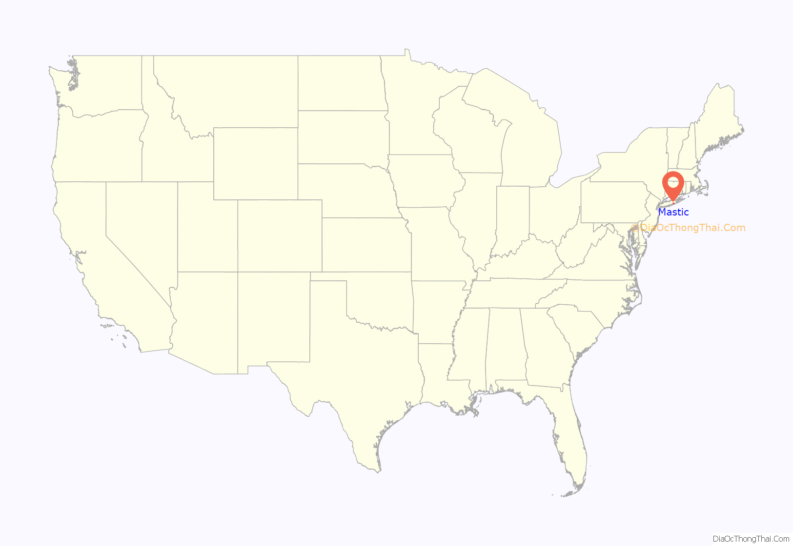
Mastic is a hamlet and a census-designated place (CDP) in the southeastern part of the town of Brookhaven in central Suffolk County, New York, United States. The population was 15,481 at the 2010 census.
The hamlet was originally called Forge until 1893, when it was changed to the current name of Mastic. The Long Island Rail Road built a station in 1882 and, on July 15, 1960, the stop was moved 7,010 feet (2,140 m) west and renamed Mastic–Shirley.
The Poospatuck Indian Reservation lies entirely within the community, near its southern end and along the Forge River.
The northernmost section of the hamlet is called Manor Park, which stretches from Sunrise Highway to Moriches-Middle Island Road immediately east of Brookhaven Airport. Part of the neighborhood lies within the hamlet of Shirley, but is served entirely by Mastic’s zip code of 11950.
| Name: | Mastic CDP |
|---|---|
| LSAD Code: | 57 |
| LSAD Description: | CDP (suffix) |
| State: | New York |
| County: | Suffolk County |
| Elevation: | 30 ft (9 m) |
| Total Area: | 3.95 sq mi (10.22 km²) |
| Land Area: | 3.86 sq mi (10.00 km²) |
| Water Area: | 0.09 sq mi (0.22 km²) |
| Total Population: | 15,404 |
| Population Density: | 3,989.64/sq mi (1,540.59/km²) |
| ZIP code: | 11950 |
| Area code: | 631, 934 |
| FIPS code: | 3646074 |
| GNISfeature ID: | 0970339 |
Online Interactive Map
Click on ![]() to view map in "full screen" mode.
to view map in "full screen" mode.
Mastic location map. Where is Mastic CDP?
Mastic Road Map
Mastic city Satellite Map
Geography
According to the United States Census Bureau, the CDP has a total area of 4.0 square miles (10.3 km), of which 3.9 square miles (10.1 km) is land and 0.08 square miles (0.2 km), or 2.13%, is water.
See also
Map of New York State and its subdivision:- Albany
- Allegany
- Bronx
- Broome
- Cattaraugus
- Cayuga
- Chautauqua
- Chemung
- Chenango
- Clinton
- Columbia
- Cortland
- Delaware
- Dutchess
- Erie
- Essex
- Franklin
- Fulton
- Genesee
- Greene
- Hamilton
- Herkimer
- Jefferson
- Kings
- Lake Ontario
- Lewis
- Livingston
- Madison
- Monroe
- Montgomery
- Nassau
- New York
- Niagara
- Oneida
- Onondaga
- Ontario
- Orange
- Orleans
- Oswego
- Otsego
- Putnam
- Queens
- Rensselaer
- Richmond
- Rockland
- Saint Lawrence
- Saratoga
- Schenectady
- Schoharie
- Schuyler
- Seneca
- Steuben
- Suffolk
- Sullivan
- Tioga
- Tompkins
- Ulster
- Warren
- Washington
- Wayne
- Westchester
- Wyoming
- Yates
- Alabama
- Alaska
- Arizona
- Arkansas
- California
- Colorado
- Connecticut
- Delaware
- District of Columbia
- Florida
- Georgia
- Hawaii
- Idaho
- Illinois
- Indiana
- Iowa
- Kansas
- Kentucky
- Louisiana
- Maine
- Maryland
- Massachusetts
- Michigan
- Minnesota
- Mississippi
- Missouri
- Montana
- Nebraska
- Nevada
- New Hampshire
- New Jersey
- New Mexico
- New York
- North Carolina
- North Dakota
- Ohio
- Oklahoma
- Oregon
- Pennsylvania
- Rhode Island
- South Carolina
- South Dakota
- Tennessee
- Texas
- Utah
- Vermont
- Virginia
- Washington
- West Virginia
- Wisconsin
- Wyoming


