Mattydale is a hamlet (and census-designated place) in Onondaga County, New York, United States. The population was 6,446 at the 2010 census.
Mattydale is a community in the northeast part of the town of Salina and is a northern suburb of Syracuse.
Mattydale was named for the farm of Frank Matty.
| Name: | Mattydale CDP |
|---|---|
| LSAD Code: | 57 |
| LSAD Description: | CDP (suffix) |
| State: | New York |
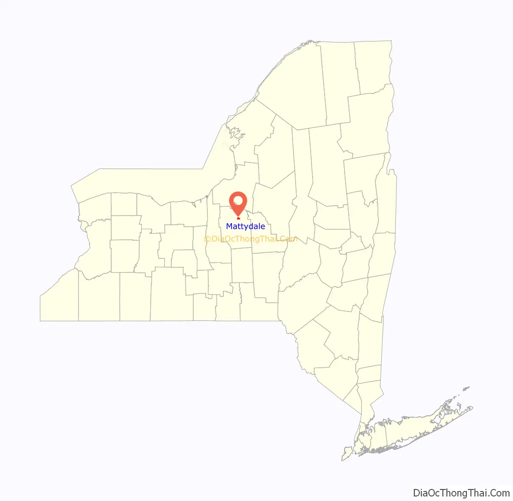
| County: | Onondaga County |
| Elevation: | 404 ft (123 m) |
| Total Area: | 1.92 sq mi (4.97 km²) |
| Land Area: | 1.92 sq mi (4.97 km²) |
| Water Area: | 0.00 sq mi (0.00 km²) |
| Total Population: | 6,296 |
| Population Density: | 3,279.17/sq mi (1,265.78/km²) |
| ZIP code: | 13211 |
| Area code: | 315 |
| FIPS code: | 3646151 |
| GNISfeature ID: | 0956687 |
Online Interactive Map
Click on ![]() to view map in "full screen" mode.
to view map in "full screen" mode.
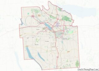
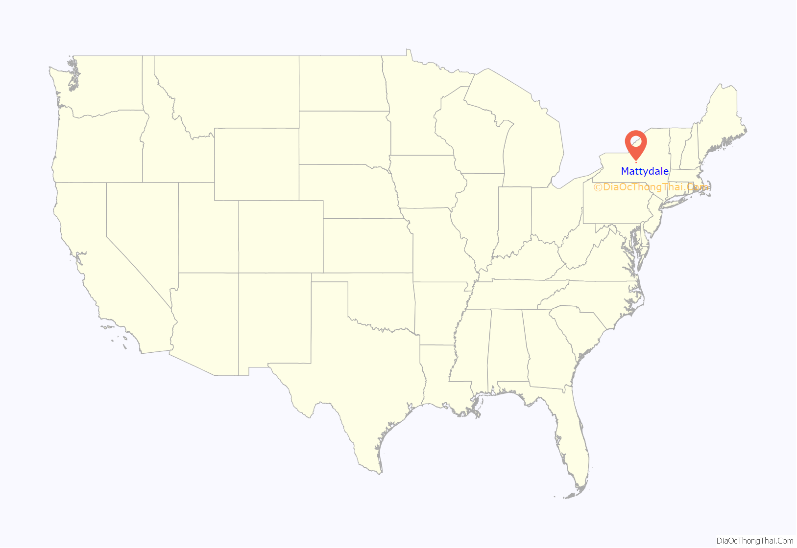
Mattydale location map. Where is Mattydale CDP?
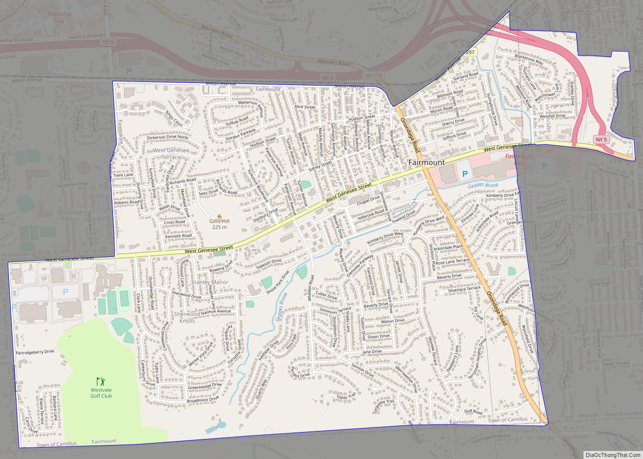
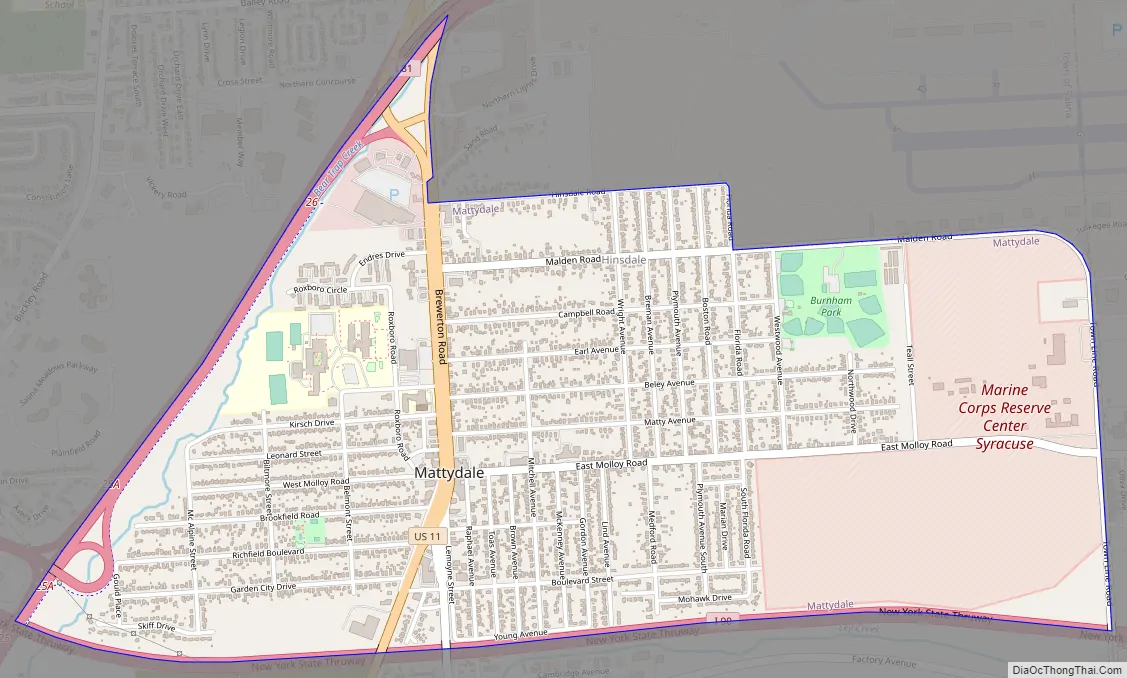
Mattydale Road Map
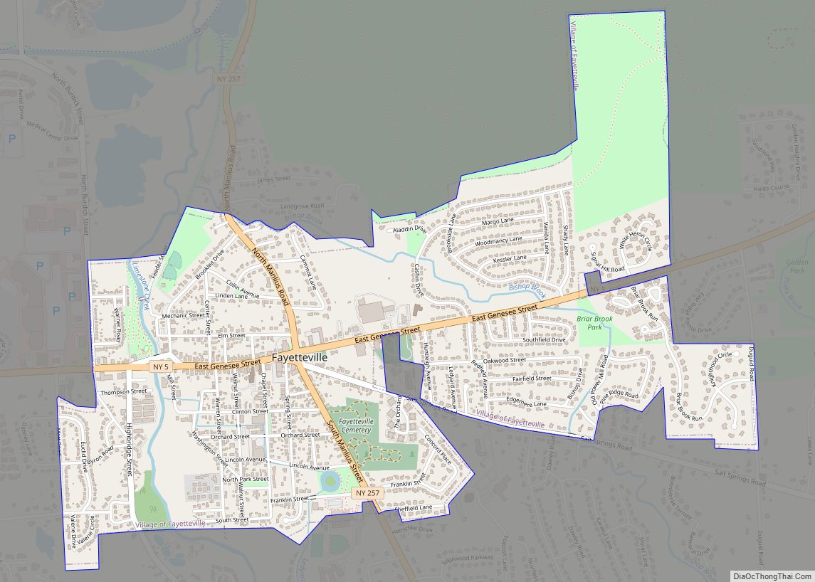
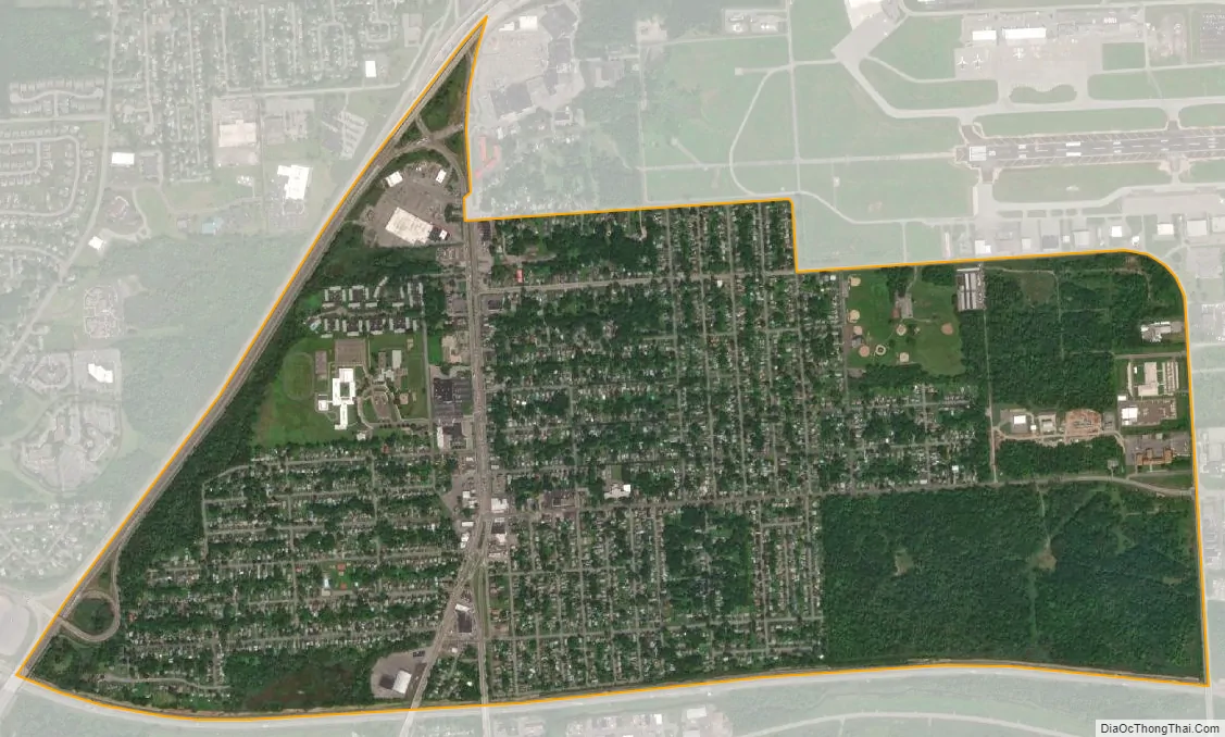
Mattydale city Satellite Map
Geography
Mattydale is located at 43°5′55″N 76°8′37″W / 43.09861°N 76.14361°W / 43.09861; -76.14361 (43.098717, -76.143530). It is north of Syracuse.
According to the United States Census Bureau, the community has a total area of 1.9 square miles (4.9 km), all land.
The New York State Thruway (Interstate 90) passes across the community. The Thruway intersects Interstate 81 west of Mattydale.
Mattydale is southwest of Syracuse Hancock International Airport and borders the community of Hinsdale.
Ley Creek, which flows along the south part of Mattydale, enters Onondaga Lake a few miles southwest of the village.
See also
Map of New York State and its subdivision:- Albany
- Allegany
- Bronx
- Broome
- Cattaraugus
- Cayuga
- Chautauqua
- Chemung
- Chenango
- Clinton
- Columbia
- Cortland
- Delaware
- Dutchess
- Erie
- Essex
- Franklin
- Fulton
- Genesee
- Greene
- Hamilton
- Herkimer
- Jefferson
- Kings
- Lake Ontario
- Lewis
- Livingston
- Madison
- Monroe
- Montgomery
- Nassau
- New York
- Niagara
- Oneida
- Onondaga
- Ontario
- Orange
- Orleans
- Oswego
- Otsego
- Putnam
- Queens
- Rensselaer
- Richmond
- Rockland
- Saint Lawrence
- Saratoga
- Schenectady
- Schoharie
- Schuyler
- Seneca
- Steuben
- Suffolk
- Sullivan
- Tioga
- Tompkins
- Ulster
- Warren
- Washington
- Wayne
- Westchester
- Wyoming
- Yates
- Alabama
- Alaska
- Arizona
- Arkansas
- California
- Colorado
- Connecticut
- Delaware
- District of Columbia
- Florida
- Georgia
- Hawaii
- Idaho
- Illinois
- Indiana
- Iowa
- Kansas
- Kentucky
- Louisiana
- Maine
- Maryland
- Massachusetts
- Michigan
- Minnesota
- Mississippi
- Missouri
- Montana
- Nebraska
- Nevada
- New Hampshire
- New Jersey
- New Mexico
- New York
- North Carolina
- North Dakota
- Ohio
- Oklahoma
- Oregon
- Pennsylvania
- Rhode Island
- South Carolina
- South Dakota
- Tennessee
- Texas
- Utah
- Vermont
- Virginia
- Washington
- West Virginia
- Wisconsin
- Wyoming