Medford is a hamlet and census-designated place (CDP) in the Town of Brookhaven in Suffolk County, on Long Island, in New York, United States. The population was 24,142 at the 2010 census.
| Name: | Medford CDP |
|---|---|
| LSAD Code: | 57 |
| LSAD Description: | CDP (suffix) |
| State: | New York |
| County: | Suffolk County |
| Elevation: | 89 ft (27 m) |
| Total Area: | 10.80 sq mi (27.97 km²) |
| Land Area: | 10.80 sq mi (27.97 km²) |
| Water Area: | 0.00 sq mi (0.00 km²) |
| Total Population: | 24,247 |
| Population Density: | 2,245.30/sq mi (866.95/km²) |
| ZIP code: | 11763 |
| Area code: | 631, 934 |
| FIPS code: | 3646404 |
| GNISfeature ID: | 0956903 |
Online Interactive Map
Click on ![]() to view map in "full screen" mode.
to view map in "full screen" mode.
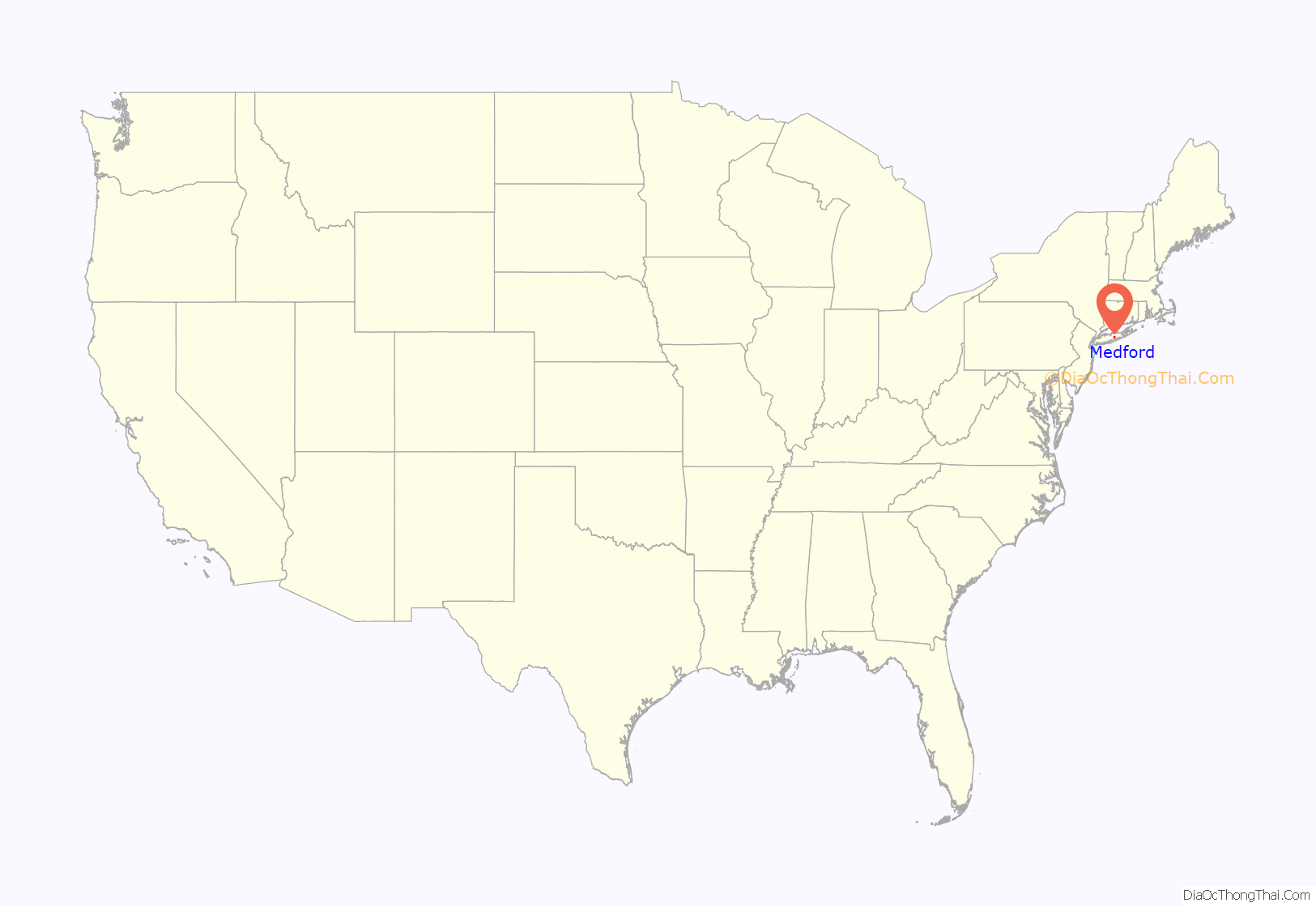
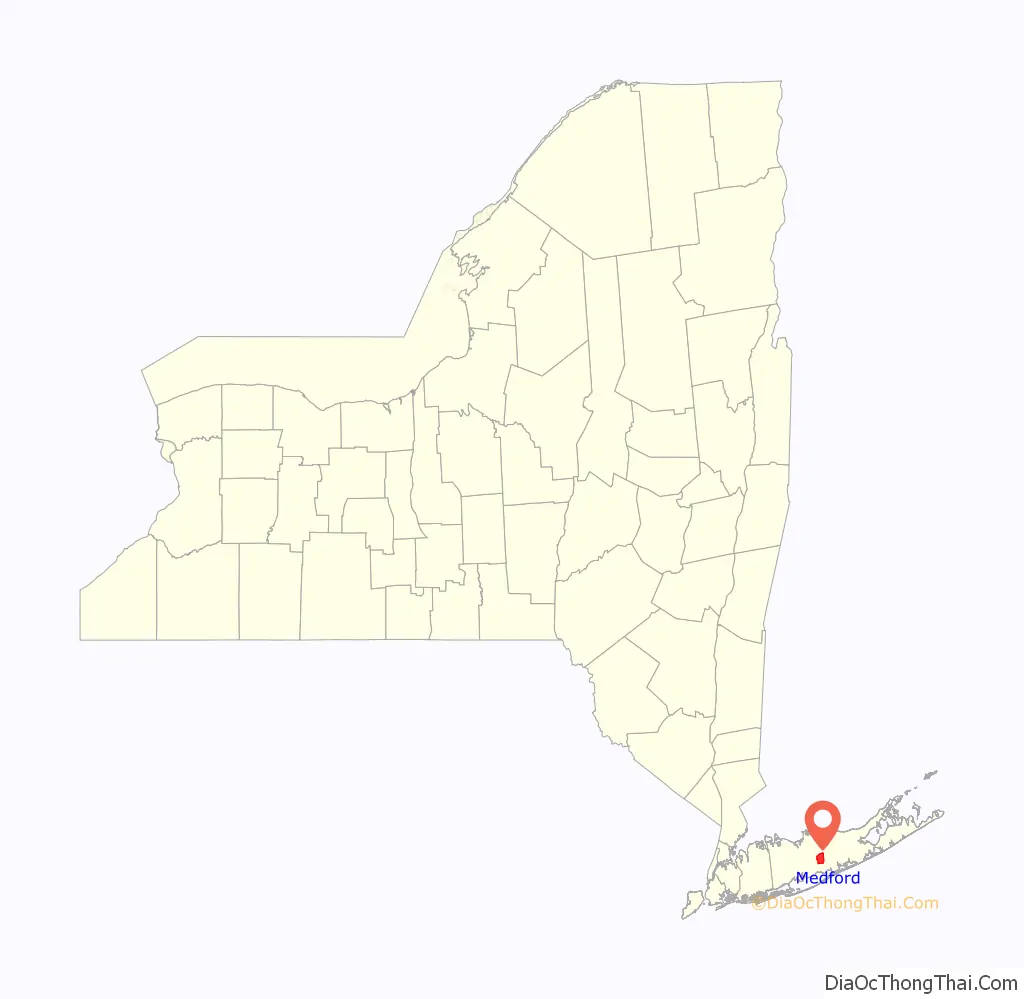
Medford location map. Where is Medford CDP?
History
The Long Island Rail Road established the Medford station in 1843 in a flat wilderness in the Long Island Central Pine Barrens. The station connected to the Patchogue Stage Road between Patchogue and Port Jefferson, and a post office was established.
In 1907 the LIRR established the Medford Prosperity Farm (officially called Experimental Station #2) on 80 acres (320,000 m) to show that crops could be raised in the Pine Barrens. Theodore Roosevelt visited the station in August 1910. As the car drove across a trail between Medford and Wading River, it got stuck in the mud and Roosevelt was said to take a “flying leap” to get out.
By the mid-to-late-20th century, developers were building new neighborhoods within Medford. Eagle Estates was built along Horse Block Road east of NY 112 in 1963, although it was planned as far back as the 1930s. The development included a Blue Jay Market shopping center on Horseblock Road west of Eagle Avenue, and a youth baseball and athletic field east of Sipp Avenue between Wave and Race avenues. The Long Island Expressway was built through Medford in 1970, with interchanges at New York State Route 112 and Horseblock Road, the latter of which is close to an older interchange with Horseblock Road and Long Island Avenue, and was not completed until 1999. The Pines was established in the 1970s east of Buffalo Avenue, south of Jamaica Avenue, north of Woodside Avenue and far west of Patchogue-Yaphank Road.
A segment of Peconic Avenue east of Buffalo Avenue has been lined with automotive junkyards since the mid-20th century. Two long-standing auto wreckers have been Medford Auto Wreckers and Gershow Recycling.
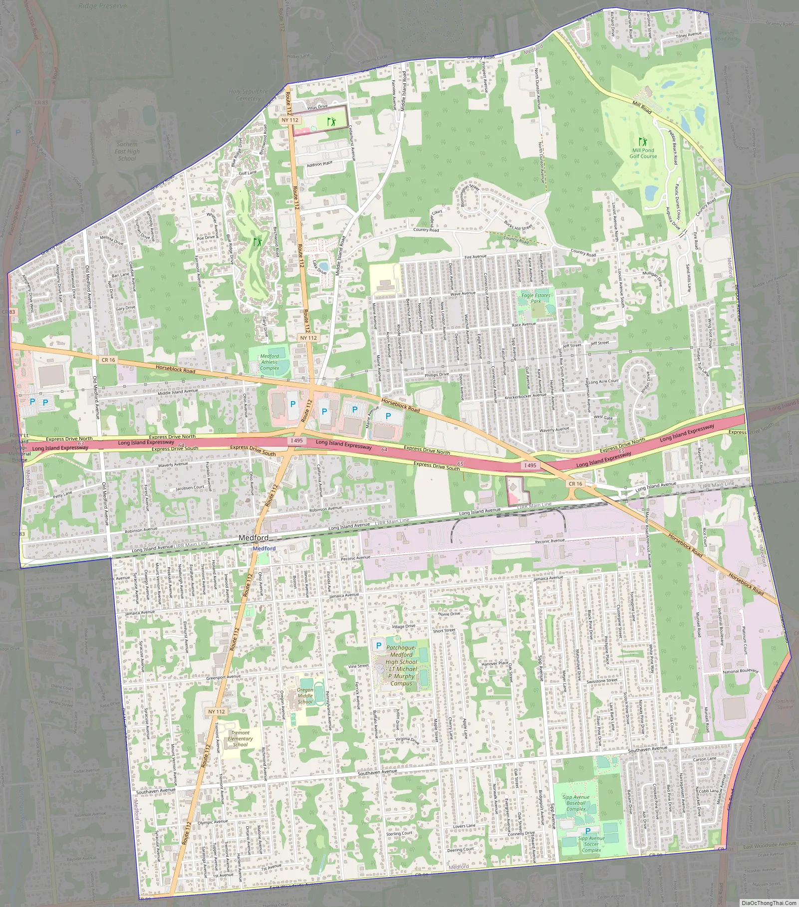
Medford Road Map
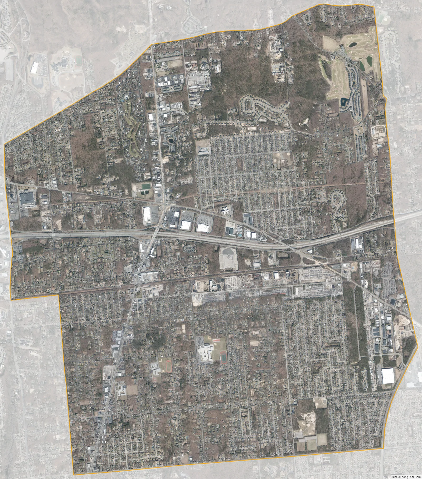
Medford city Satellite Map
Geography
According to the United States Census Bureau, the CDP has a total area of 10.8 square miles (28.0 km), all land.
See also
Map of New York State and its subdivision:- Albany
- Allegany
- Bronx
- Broome
- Cattaraugus
- Cayuga
- Chautauqua
- Chemung
- Chenango
- Clinton
- Columbia
- Cortland
- Delaware
- Dutchess
- Erie
- Essex
- Franklin
- Fulton
- Genesee
- Greene
- Hamilton
- Herkimer
- Jefferson
- Kings
- Lake Ontario
- Lewis
- Livingston
- Madison
- Monroe
- Montgomery
- Nassau
- New York
- Niagara
- Oneida
- Onondaga
- Ontario
- Orange
- Orleans
- Oswego
- Otsego
- Putnam
- Queens
- Rensselaer
- Richmond
- Rockland
- Saint Lawrence
- Saratoga
- Schenectady
- Schoharie
- Schuyler
- Seneca
- Steuben
- Suffolk
- Sullivan
- Tioga
- Tompkins
- Ulster
- Warren
- Washington
- Wayne
- Westchester
- Wyoming
- Yates
- Alabama
- Alaska
- Arizona
- Arkansas
- California
- Colorado
- Connecticut
- Delaware
- District of Columbia
- Florida
- Georgia
- Hawaii
- Idaho
- Illinois
- Indiana
- Iowa
- Kansas
- Kentucky
- Louisiana
- Maine
- Maryland
- Massachusetts
- Michigan
- Minnesota
- Mississippi
- Missouri
- Montana
- Nebraska
- Nevada
- New Hampshire
- New Jersey
- New Mexico
- New York
- North Carolina
- North Dakota
- Ohio
- Oklahoma
- Oregon
- Pennsylvania
- Rhode Island
- South Carolina
- South Dakota
- Tennessee
- Texas
- Utah
- Vermont
- Virginia
- Washington
- West Virginia
- Wisconsin
- Wyoming


