Merrick is a hamlet and census-designated place (CDP) in the Town of Hempstead in Nassau County, on the South Shore of Long Island, in New York, United States. As of the 2019 census, the population was 20,130.
| Name: | Merrick CDP |
|---|---|
| LSAD Code: | 57 |
| LSAD Description: | CDP (suffix) |
| State: | New York |
| County: | Nassau County |
| Elevation: | 13 ft (4 m) |
| Total Area: | 5.15 sq mi (13.34 km²) |
| Land Area: | 3.98 sq mi (10.31 km²) |
| Water Area: | 1.17 sq mi (3.03 km²) |
| Total Population: | 22,040 |
| Population Density: | 5,536.30/sq mi (2,137.42/km²) |
| ZIP code: | 11566 |
| Area code: | 516 |
| FIPS code: | 3646668 |
| GNISfeature ID: | 0956989 |
| Website: | merrickchamber.com |
Online Interactive Map
Click on ![]() to view map in "full screen" mode.
to view map in "full screen" mode.
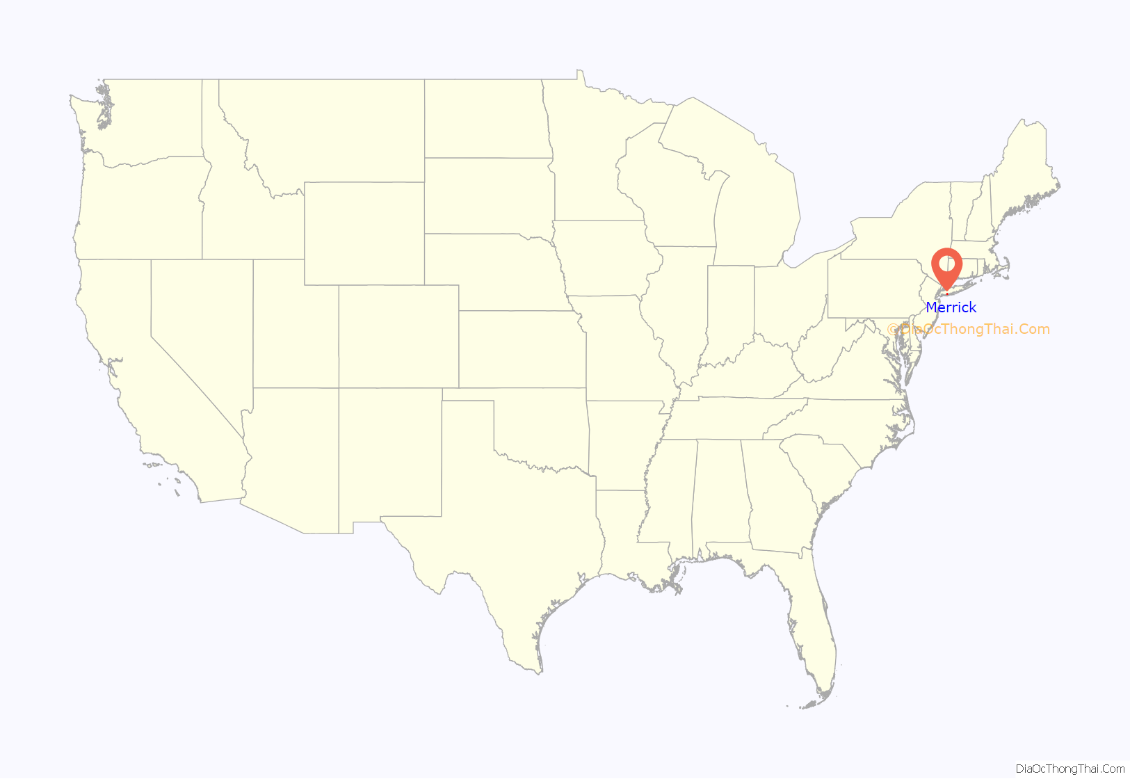
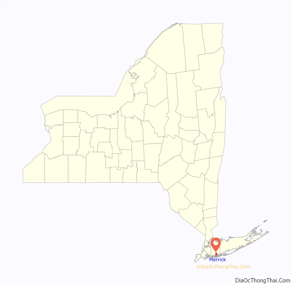
Merrick location map. Where is Merrick CDP?
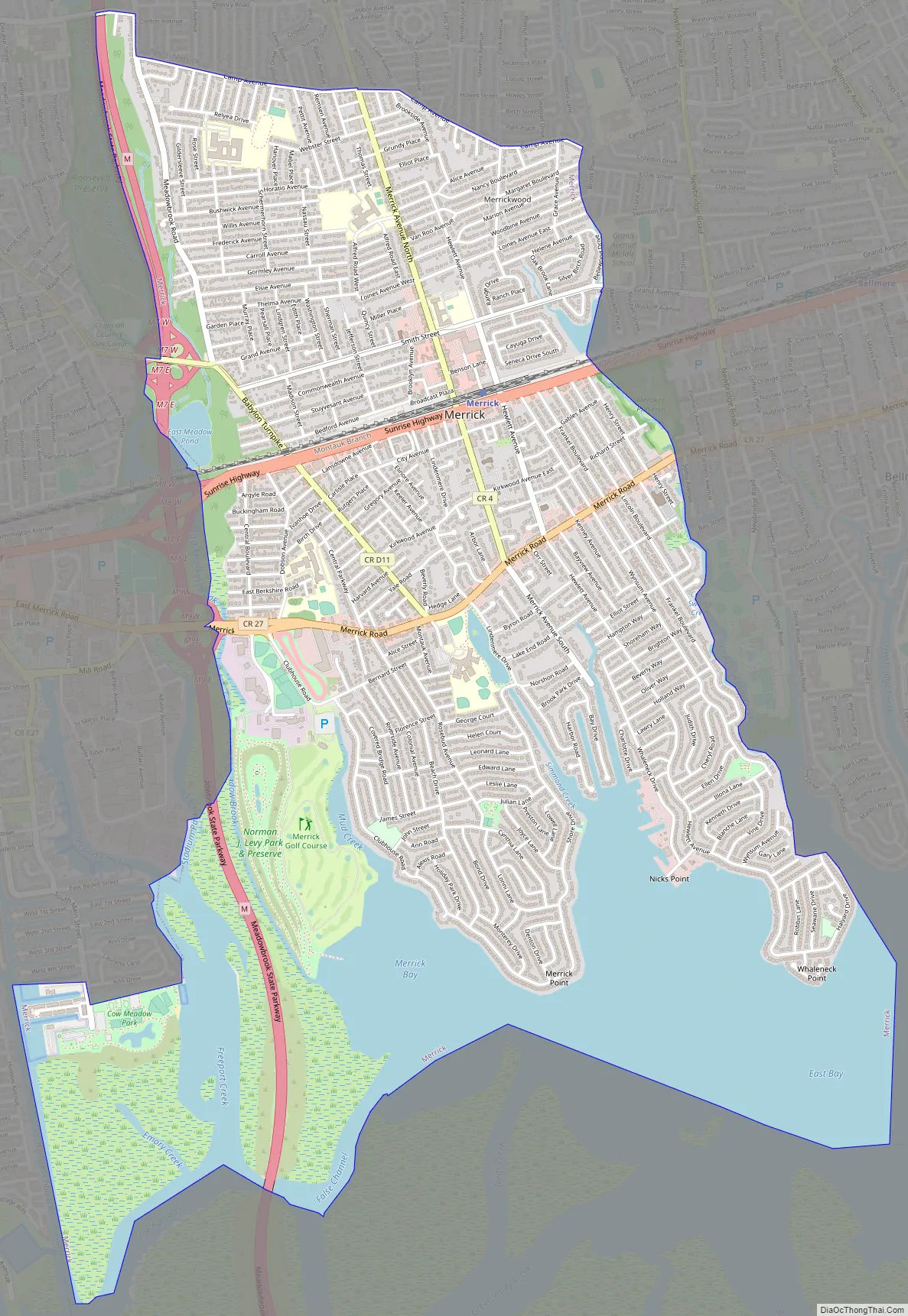
Merrick Road Map
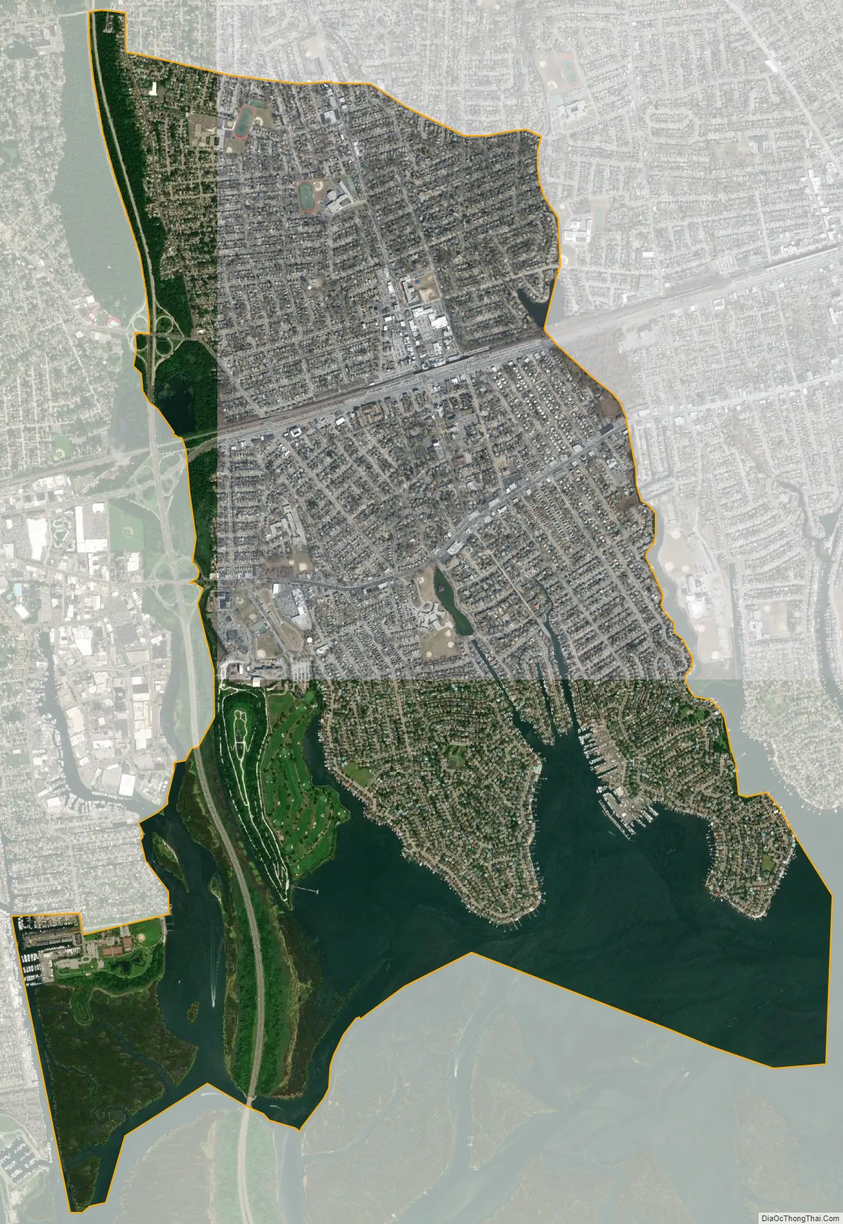
Merrick city Satellite Map
Geography
According to the United States Census Bureau, the CDP has a total area of 5.2 square miles (13 km), of which 4.2 square miles (11 km) is land and 1.0 square mile (2.6 km), or 19.27%, is water.
Merrick has a climate that is bordering upon hot-summer humid continental (Dfa) and humid subtropical (Cfa.) The Cfa zone is found along Merrick’s coast. The average monthly temperatures in the town centre range from 31.7 °F in January to 74.8 °F in July. [1] The local hardiness zone is 7b.
See also
Map of New York State and its subdivision:- Albany
- Allegany
- Bronx
- Broome
- Cattaraugus
- Cayuga
- Chautauqua
- Chemung
- Chenango
- Clinton
- Columbia
- Cortland
- Delaware
- Dutchess
- Erie
- Essex
- Franklin
- Fulton
- Genesee
- Greene
- Hamilton
- Herkimer
- Jefferson
- Kings
- Lake Ontario
- Lewis
- Livingston
- Madison
- Monroe
- Montgomery
- Nassau
- New York
- Niagara
- Oneida
- Onondaga
- Ontario
- Orange
- Orleans
- Oswego
- Otsego
- Putnam
- Queens
- Rensselaer
- Richmond
- Rockland
- Saint Lawrence
- Saratoga
- Schenectady
- Schoharie
- Schuyler
- Seneca
- Steuben
- Suffolk
- Sullivan
- Tioga
- Tompkins
- Ulster
- Warren
- Washington
- Wayne
- Westchester
- Wyoming
- Yates
- Alabama
- Alaska
- Arizona
- Arkansas
- California
- Colorado
- Connecticut
- Delaware
- District of Columbia
- Florida
- Georgia
- Hawaii
- Idaho
- Illinois
- Indiana
- Iowa
- Kansas
- Kentucky
- Louisiana
- Maine
- Maryland
- Massachusetts
- Michigan
- Minnesota
- Mississippi
- Missouri
- Montana
- Nebraska
- Nevada
- New Hampshire
- New Jersey
- New Mexico
- New York
- North Carolina
- North Dakota
- Ohio
- Oklahoma
- Oregon
- Pennsylvania
- Rhode Island
- South Carolina
- South Dakota
- Tennessee
- Texas
- Utah
- Vermont
- Virginia
- Washington
- West Virginia
- Wisconsin
- Wyoming


