Moriches (/moʊˈrɪtʃɪz/ (listen) moh-RITCH-iz) is a hamlet and census-designated place (CDP) in the Suffolk County town of Brookhaven, New York, United States. The population was 2,838 at the 2010 census.
| Name: | Moriches CDP |
|---|---|
| LSAD Code: | 57 |
| LSAD Description: | CDP (suffix) |
| State: | New York |
| County: | Suffolk County |
| Elevation: | 23 ft (7 m) |
| Total Area: | 2.30 sq mi (5.96 km²) |
| Land Area: | 2.07 sq mi (5.37 km²) |
| Water Area: | 0.23 sq mi (0.59 km²) |
| Total Population: | 3,026 |
| Population Density: | 1,460.42/sq mi (563.87/km²) |
| ZIP code: | 11955 |
| Area code: | 631, 934 |
| FIPS code: | 3648450 |
| GNISfeature ID: | 0970369 |
Online Interactive Map
Click on ![]() to view map in "full screen" mode.
to view map in "full screen" mode.
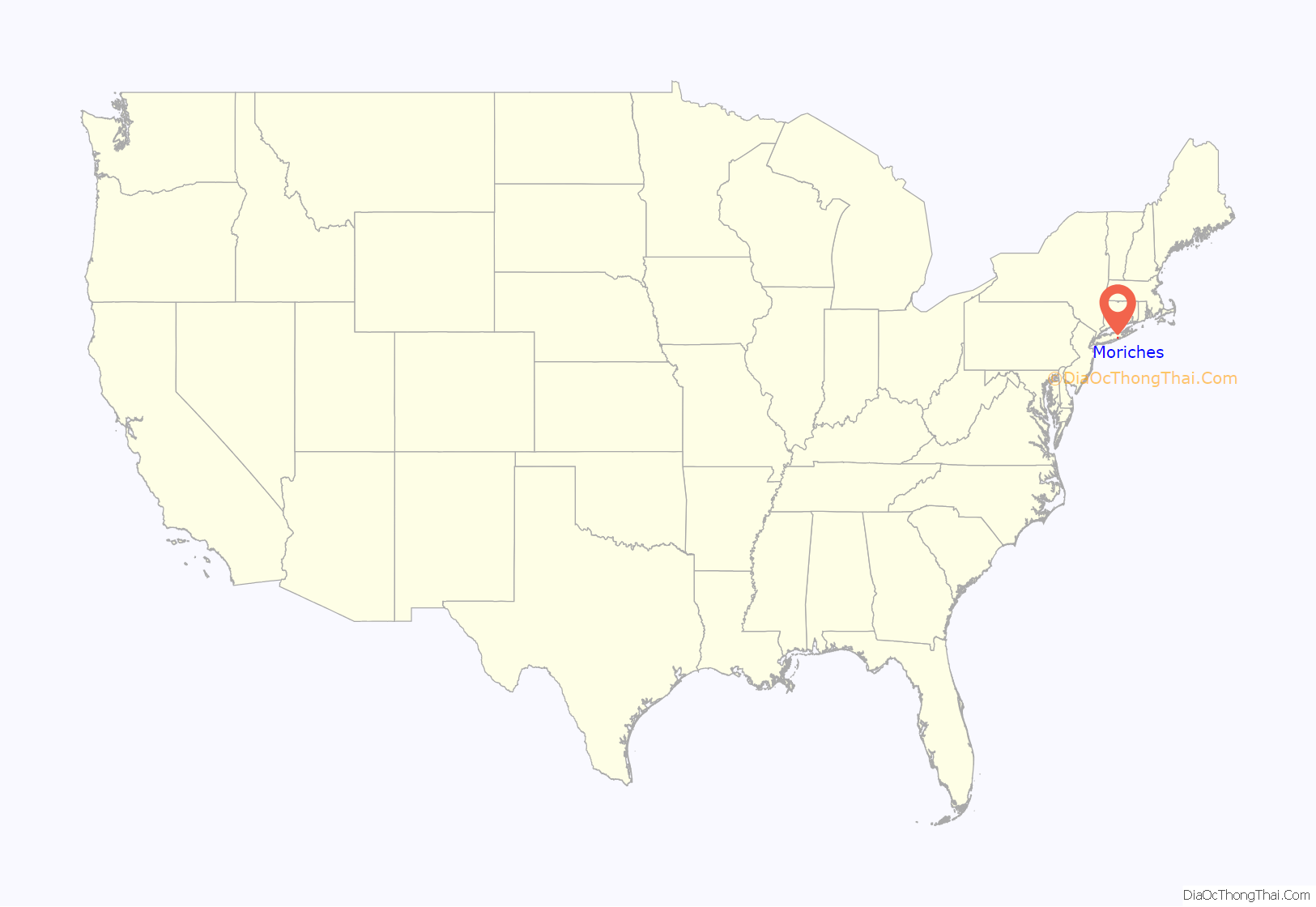
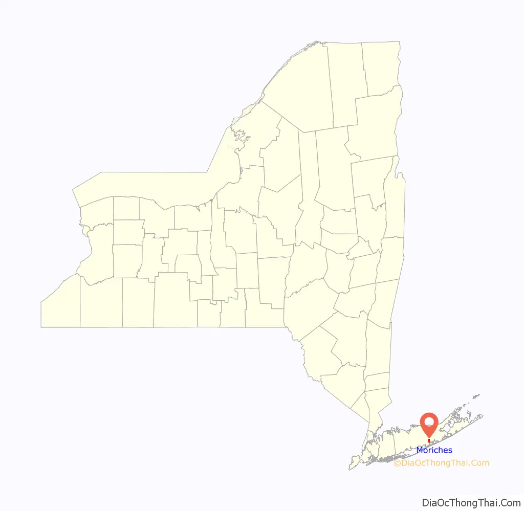
Moriches location map. Where is Moriches CDP?
History
The name “Moriches” comes from Meritces, a Native American who owned land on Moriches Neck.
One of the community’s most notable businesses/landmarks was the Jurgielewicz Duck Farm founded in 1919 on the edge of the Forge River. At its peak, the 65-acre (26 ha) farm located on the edge of the Montauk Branch of the Long Island Rail Road claimed to be America’s largest free-range duck operation, raising one million Pekin ducks per year. In 2011, it declared bankruptcy, and it closed in August of that year.
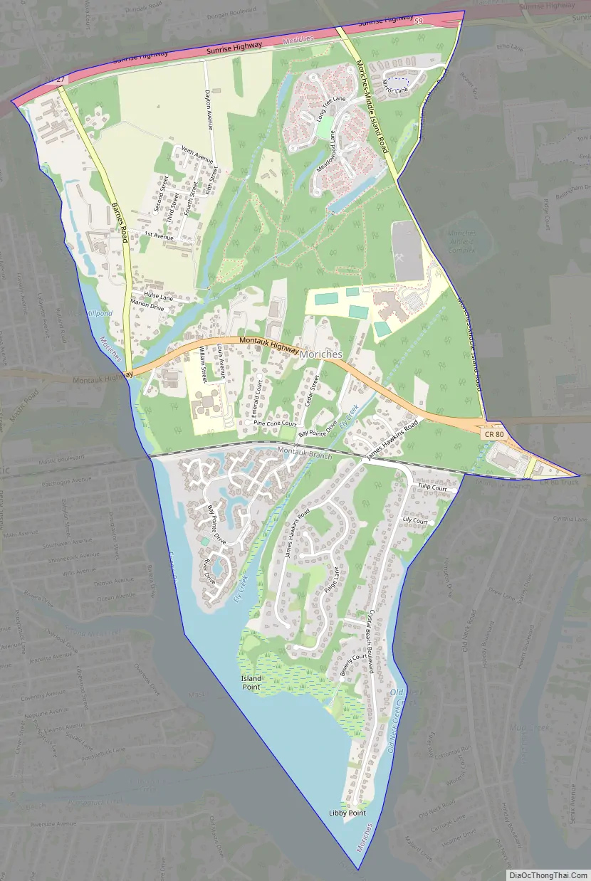
Moriches Road Map
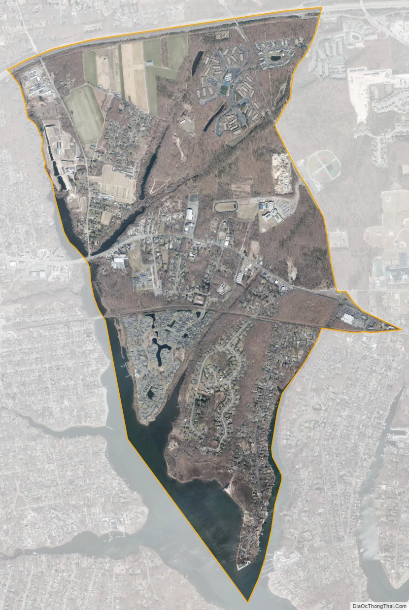
Moriches city Satellite Map
Geography
According to the United States Census Bureau, the CDP has a total area of 2.3 square miles (5.9 km), of which 2.0 square miles (5.3 km) is land and 0.23 square miles (0.6 km), or 9.99%, is water.
See also
Map of New York State and its subdivision:- Albany
- Allegany
- Bronx
- Broome
- Cattaraugus
- Cayuga
- Chautauqua
- Chemung
- Chenango
- Clinton
- Columbia
- Cortland
- Delaware
- Dutchess
- Erie
- Essex
- Franklin
- Fulton
- Genesee
- Greene
- Hamilton
- Herkimer
- Jefferson
- Kings
- Lake Ontario
- Lewis
- Livingston
- Madison
- Monroe
- Montgomery
- Nassau
- New York
- Niagara
- Oneida
- Onondaga
- Ontario
- Orange
- Orleans
- Oswego
- Otsego
- Putnam
- Queens
- Rensselaer
- Richmond
- Rockland
- Saint Lawrence
- Saratoga
- Schenectady
- Schoharie
- Schuyler
- Seneca
- Steuben
- Suffolk
- Sullivan
- Tioga
- Tompkins
- Ulster
- Warren
- Washington
- Wayne
- Westchester
- Wyoming
- Yates
- Alabama
- Alaska
- Arizona
- Arkansas
- California
- Colorado
- Connecticut
- Delaware
- District of Columbia
- Florida
- Georgia
- Hawaii
- Idaho
- Illinois
- Indiana
- Iowa
- Kansas
- Kentucky
- Louisiana
- Maine
- Maryland
- Massachusetts
- Michigan
- Minnesota
- Mississippi
- Missouri
- Montana
- Nebraska
- Nevada
- New Hampshire
- New Jersey
- New Mexico
- New York
- North Carolina
- North Dakota
- Ohio
- Oklahoma
- Oregon
- Pennsylvania
- Rhode Island
- South Carolina
- South Dakota
- Tennessee
- Texas
- Utah
- Vermont
- Virginia
- Washington
- West Virginia
- Wisconsin
- Wyoming


