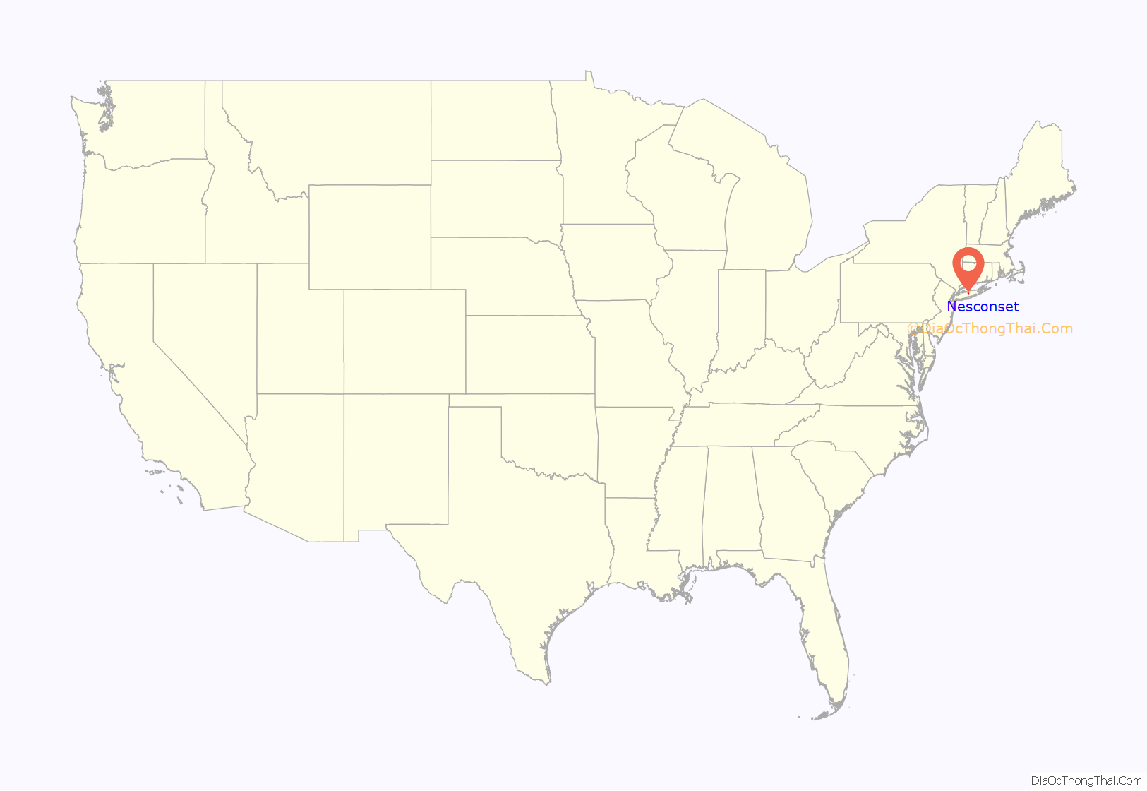
Nesconset is a hamlet and census-designated place (CDP) in the town of Smithtown, located in Suffolk County, Long Island, New York, United States. The population was 13,387 at the 2010 census.
| Name: | Nesconset CDP |
|---|---|
| LSAD Code: | 57 |
| LSAD Description: | CDP (suffix) |
| State: | New York |
| County: | Suffolk County |
| Elevation: | 118 ft (36 m) |
| Total Area: | 3.83 sq mi (9.91 km²) |
| Land Area: | 3.82 sq mi (9.90 km²) |
| Water Area: | 0.00 sq mi (0.01 km²) |
| Total Population: | 13,207 |
| Population Density: | 3,455.52/sq mi (1,334.33/km²) |
| ZIP code: | 11767 |
| Area code: | 631 |
| FIPS code: | 3649825 |
| GNISfeature ID: | 0958373 |
Online Interactive Map
Click on ![]() to view map in "full screen" mode.
to view map in "full screen" mode.
Nesconset location map. Where is Nesconset CDP?
History
Prior to contemporary settlement, a sparse population of farmers were lived near Lake Ronkonkoma. A primitive road network existed as Gibbs Pond Road, Browns Road, Old Nichols Road, Townline Road and the predecessor of Smithtown Boulevard. In 1904, brothers and French immigrants Louis and Clemen Vion came to the Pine Barrens of southeastern Smithtown from Manhattan on numerous occasions as sportsmen. By 1910, the brothers fell a line of trees off of Gibbs Pond Road immediately south of modern-day NY-347 to create Midwood Avenue. They built their home on this street where it still present.
As the population grew, a lumber yard, general store, and post office were constructed in 1908. The historic Nesconset Schoolhouse was built in 1910 and the Nesconset Fire Department was built by 1935, A commercial center emerged where Lake Avenue South and Gibbs Pond Road meet. The brothers decided to name the newly established settlement after Smithtown’s local historical figure, Nasseconsett, who deeded the Nissequogue people’s land to Richard Smith. Later development was concentrated on Lake Avenue South, Southern Boulevard and the Lake Ronkonkoma area along Gibbs Pond Road in the form of summer residences.
By 1930, Nesconset had a population of 50 people along Lake Avenue and spread along Smithtown Boulevard and Gibbs Pond Road. The construction of NY-347 in the 1950s opened the southeast corner of Smithtown to rapid residential development to Storybook Homes by bisecting the small center of the hamlet. This forced the shift of the commercial center of Nesconset to Smithtown Boulevard between Old Nichols Road and Southern Boulevard. This area was known formerly as East Hauppauge.
Nesconset Road Map
Nesconset city Satellite Map
Geography
Nesconset is located at 40°50′46″N 73°9′2″W / 40.84611°N 73.15056°W / 40.84611; -73.15056 (40.846090, -73.150573).
According to the United States Census Bureau, the CDP has a total area of 3.8 square miles (9.8 km), all land.
See also
Map of New York State and its subdivision:- Albany
- Allegany
- Bronx
- Broome
- Cattaraugus
- Cayuga
- Chautauqua
- Chemung
- Chenango
- Clinton
- Columbia
- Cortland
- Delaware
- Dutchess
- Erie
- Essex
- Franklin
- Fulton
- Genesee
- Greene
- Hamilton
- Herkimer
- Jefferson
- Kings
- Lake Ontario
- Lewis
- Livingston
- Madison
- Monroe
- Montgomery
- Nassau
- New York
- Niagara
- Oneida
- Onondaga
- Ontario
- Orange
- Orleans
- Oswego
- Otsego
- Putnam
- Queens
- Rensselaer
- Richmond
- Rockland
- Saint Lawrence
- Saratoga
- Schenectady
- Schoharie
- Schuyler
- Seneca
- Steuben
- Suffolk
- Sullivan
- Tioga
- Tompkins
- Ulster
- Warren
- Washington
- Wayne
- Westchester
- Wyoming
- Yates
- Alabama
- Alaska
- Arizona
- Arkansas
- California
- Colorado
- Connecticut
- Delaware
- District of Columbia
- Florida
- Georgia
- Hawaii
- Idaho
- Illinois
- Indiana
- Iowa
- Kansas
- Kentucky
- Louisiana
- Maine
- Maryland
- Massachusetts
- Michigan
- Minnesota
- Mississippi
- Missouri
- Montana
- Nebraska
- Nevada
- New Hampshire
- New Jersey
- New Mexico
- New York
- North Carolina
- North Dakota
- Ohio
- Oklahoma
- Oregon
- Pennsylvania
- Rhode Island
- South Carolina
- South Dakota
- Tennessee
- Texas
- Utah
- Vermont
- Virginia
- Washington
- West Virginia
- Wisconsin
- Wyoming


