New Suffolk is a census-designated place (CDP) that roughly corresponds to the hamlet by the same name in the Town of Southold in Suffolk County, New York, United States. The CDP’s population was 403 as of the 2020 census.
| Name: | New Suffolk CDP |
|---|---|
| LSAD Code: | 57 |
| LSAD Description: | CDP (suffix) |
| State: | New York |
| County: | Suffolk County |
| Elevation: | 26 ft (8 m) |
| Total Area: | 0.61 sq mi (1.58 km²) |
| Land Area: | 0.56 sq mi (1.44 km²) |
| Water Area: | 0.05 sq mi (0.14 km²) |
| Total Population: | 403 |
| Population Density: | 724.82/sq mi (279.64/km²) |
| ZIP code: | 11956 |
| Area code: | 631 |
| FIPS code: | 3650727 |
| GNISfeature ID: | 0958460 |
Online Interactive Map
Click on ![]() to view map in "full screen" mode.
to view map in "full screen" mode.
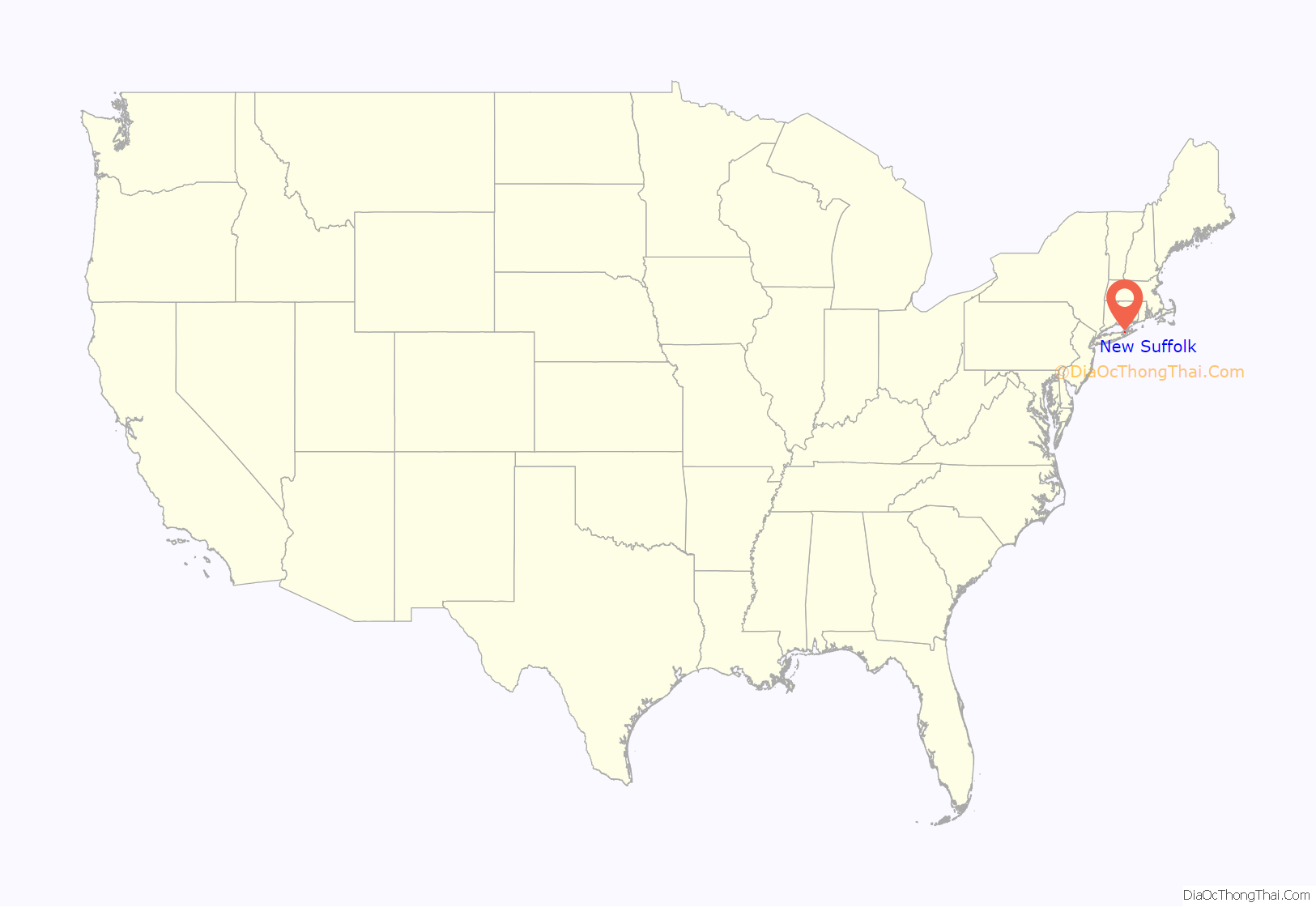
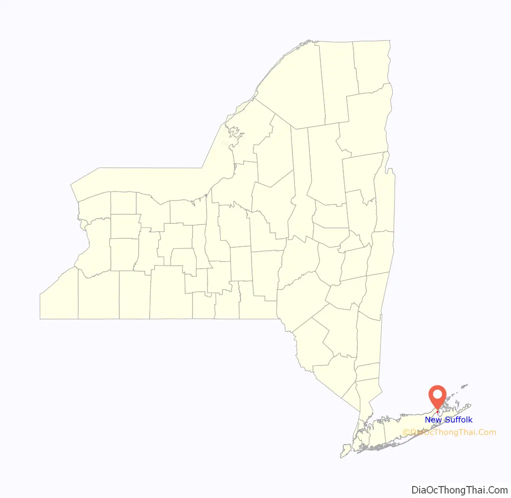
New Suffolk location map. Where is New Suffolk CDP?
History
The submarine USS Holland (SS-1), the first commissioned submarine in the U.S. Navy, along with five other Holland Torpedo Boat Company-designed submarines of the Plunger class, were based in New Suffolk’s Holland Torpedo Boat Station between 1899 and 1905, prompting the hamlet to claim to be the “First Submarine Base” in the United States. The location of the “submarine base” was on 1st Street between Main and King Streets. The name of Mr. Holland’s company was changed to Electric Boat during this time.
In 2007, New Suffolk’s two-room school house had nine students in grades K-6, making it one of the smallest school districts in the state of New York.
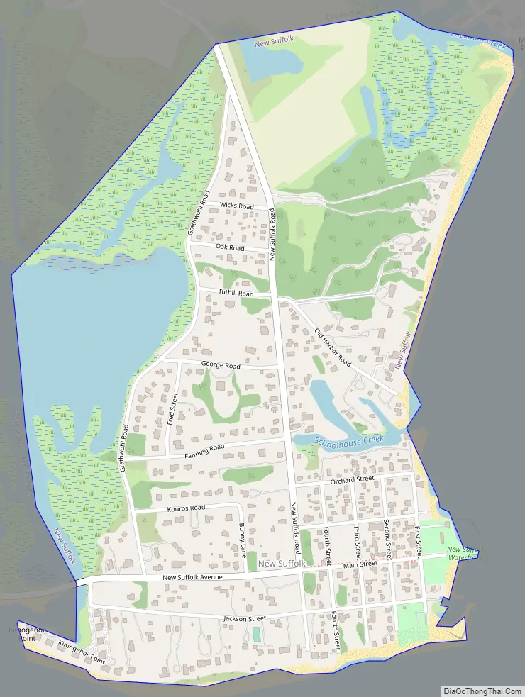
New Suffolk Road Map
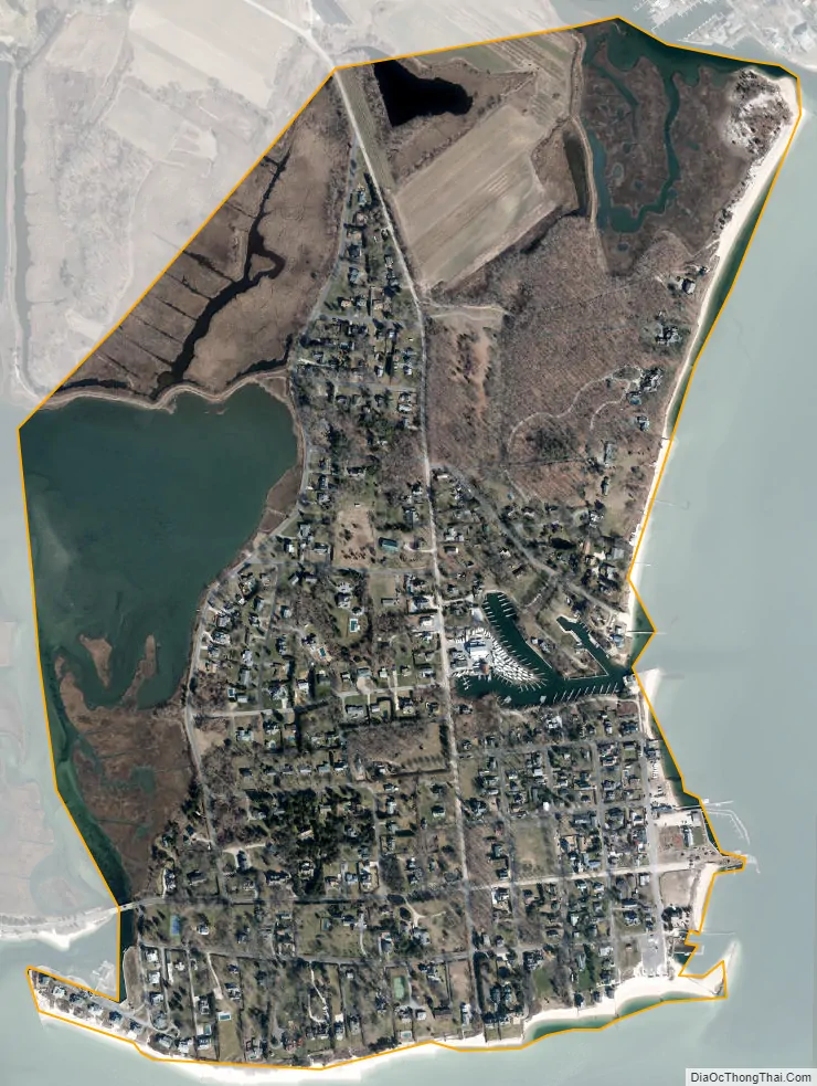
New Suffolk city Satellite Map
Geography
According to the United States Census Bureau, the hamlet has a total area 0.62 square miles (1.6 km), of which 0.54 square miles (1.4 km) is land and 0.04 square miles (0.1 km), or 8.83%, is water.
See also
Map of New York State and its subdivision:- Albany
- Allegany
- Bronx
- Broome
- Cattaraugus
- Cayuga
- Chautauqua
- Chemung
- Chenango
- Clinton
- Columbia
- Cortland
- Delaware
- Dutchess
- Erie
- Essex
- Franklin
- Fulton
- Genesee
- Greene
- Hamilton
- Herkimer
- Jefferson
- Kings
- Lake Ontario
- Lewis
- Livingston
- Madison
- Monroe
- Montgomery
- Nassau
- New York
- Niagara
- Oneida
- Onondaga
- Ontario
- Orange
- Orleans
- Oswego
- Otsego
- Putnam
- Queens
- Rensselaer
- Richmond
- Rockland
- Saint Lawrence
- Saratoga
- Schenectady
- Schoharie
- Schuyler
- Seneca
- Steuben
- Suffolk
- Sullivan
- Tioga
- Tompkins
- Ulster
- Warren
- Washington
- Wayne
- Westchester
- Wyoming
- Yates
- Alabama
- Alaska
- Arizona
- Arkansas
- California
- Colorado
- Connecticut
- Delaware
- District of Columbia
- Florida
- Georgia
- Hawaii
- Idaho
- Illinois
- Indiana
- Iowa
- Kansas
- Kentucky
- Louisiana
- Maine
- Maryland
- Massachusetts
- Michigan
- Minnesota
- Mississippi
- Missouri
- Montana
- Nebraska
- Nevada
- New Hampshire
- New Jersey
- New Mexico
- New York
- North Carolina
- North Dakota
- Ohio
- Oklahoma
- Oregon
- Pennsylvania
- Rhode Island
- South Carolina
- South Dakota
- Tennessee
- Texas
- Utah
- Vermont
- Virginia
- Washington
- West Virginia
- Wisconsin
- Wyoming


