Nissequogue (/ˈnɪsəkwɒɡ/) is a village in Suffolk County, on the North Shore of Long Island, in New York, United States. The village population was 1,564 at the 2020 census.
The Incorporated Village of Nissequogue is located entirely within the Town of Smithtown.
| Name: | Nissequogue village |
|---|---|
| LSAD Code: | 47 |
| LSAD Description: | village (suffix) |
| State: | New York |
| County: | Suffolk County |
| Incorporated: | 1926 |
| Elevation: | 85 ft (26 m) |
| Total Area: | 4.03 sq mi (10.44 km²) |
| Land Area: | 3.81 sq mi (9.86 km²) |
| Water Area: | 0.22 sq mi (0.57 km²) |
| Total Population: | 1,564 |
| Population Density: | 410.71/sq mi (158.58/km²) |
| ZIP code: | 11780 |
| Area code: | 631 |
| FIPS code: | 3651286 |
| GNISfeature ID: | 0958622 |
| Website: | nissequogueny.gov |
Online Interactive Map
Click on ![]() to view map in "full screen" mode.
to view map in "full screen" mode.
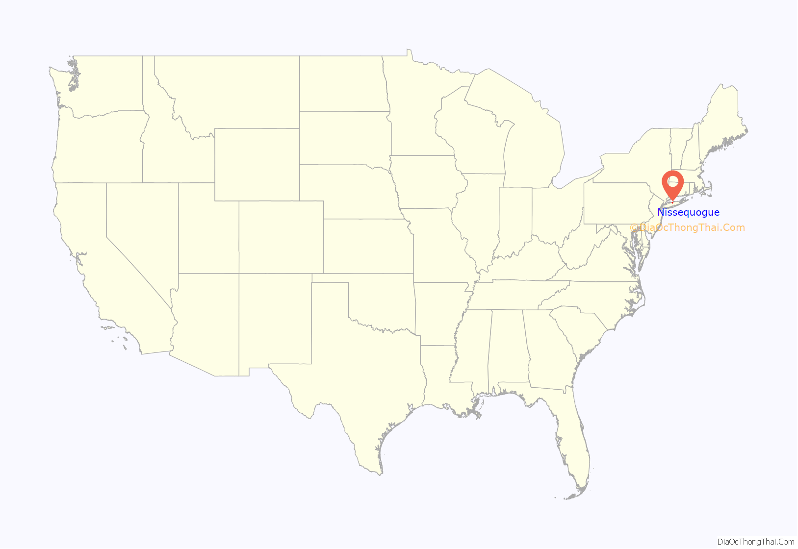
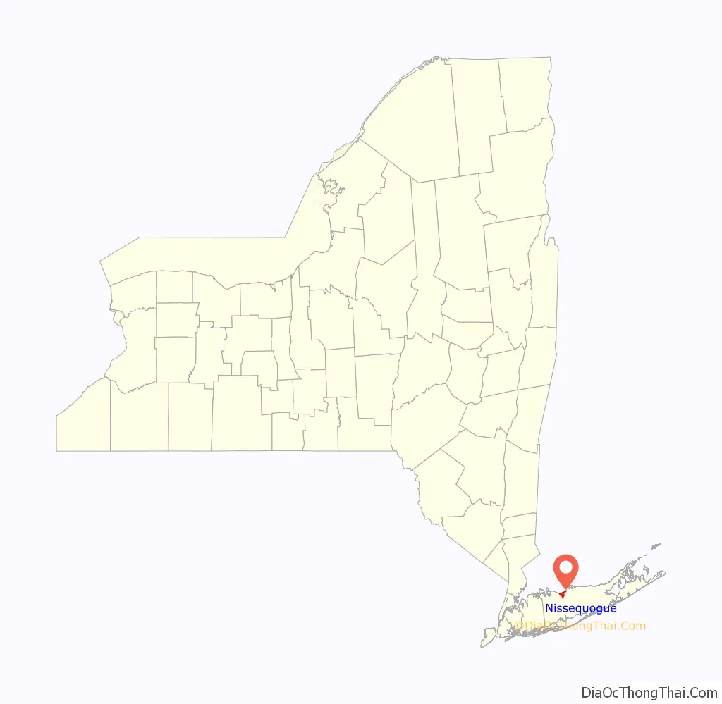
Nissequogue location map. Where is Nissequogue village?
History
Nissequogue incorporated as a village in 1925.
The Mayor of Nissequogue (as of July 2022), Richard B. Smith, is a descendant and a namesake of the first English settler of the village, Richard Smith (Smythe).
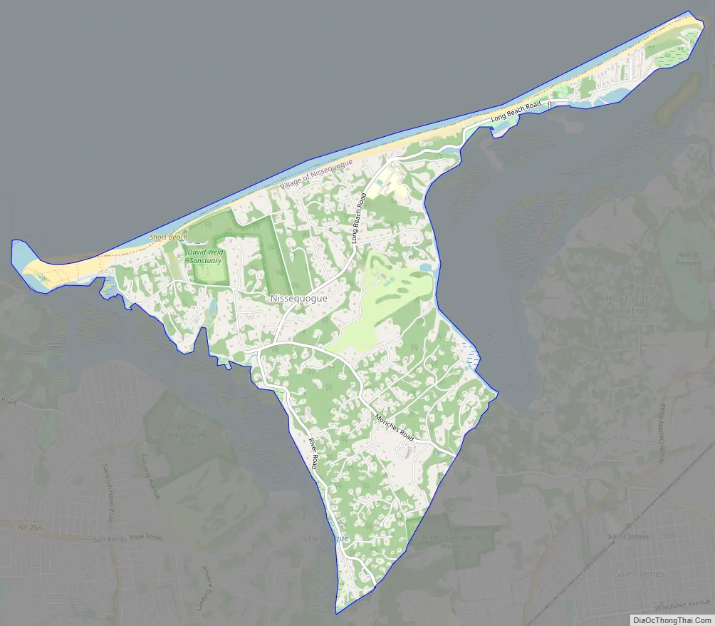
Nissequogue Road Map
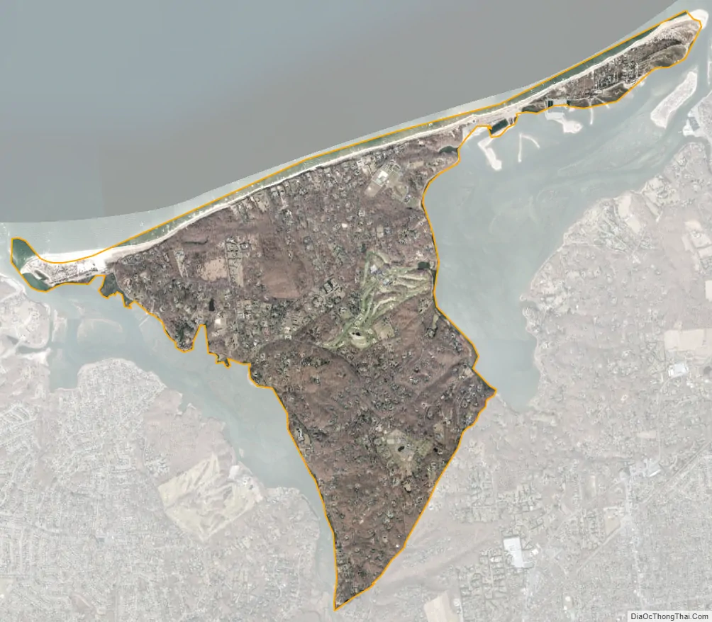
Nissequogue city Satellite Map
Geography
According to the United States Census Bureau, the village has a total area of 4.0 square miles (10 km), of which 3.8 square miles (9.8 km) is land and 0.2 square miles (0.52 km), or 5.04%, is water.
To the west of the village is its namesake, the Nissequogue River. To the north is Long Island Sound, while to the east is Stony Brook Harbor. Moriches Road runs through the center of the village.
Nissequogue, in its entirety, is served by the St. James Post Office (located in the adjacent hamlet and CDP of St. James) and uses the St. James, New York 11780 ZIP code.
See also
Map of New York State and its subdivision:- Albany
- Allegany
- Bronx
- Broome
- Cattaraugus
- Cayuga
- Chautauqua
- Chemung
- Chenango
- Clinton
- Columbia
- Cortland
- Delaware
- Dutchess
- Erie
- Essex
- Franklin
- Fulton
- Genesee
- Greene
- Hamilton
- Herkimer
- Jefferson
- Kings
- Lake Ontario
- Lewis
- Livingston
- Madison
- Monroe
- Montgomery
- Nassau
- New York
- Niagara
- Oneida
- Onondaga
- Ontario
- Orange
- Orleans
- Oswego
- Otsego
- Putnam
- Queens
- Rensselaer
- Richmond
- Rockland
- Saint Lawrence
- Saratoga
- Schenectady
- Schoharie
- Schuyler
- Seneca
- Steuben
- Suffolk
- Sullivan
- Tioga
- Tompkins
- Ulster
- Warren
- Washington
- Wayne
- Westchester
- Wyoming
- Yates
- Alabama
- Alaska
- Arizona
- Arkansas
- California
- Colorado
- Connecticut
- Delaware
- District of Columbia
- Florida
- Georgia
- Hawaii
- Idaho
- Illinois
- Indiana
- Iowa
- Kansas
- Kentucky
- Louisiana
- Maine
- Maryland
- Massachusetts
- Michigan
- Minnesota
- Mississippi
- Missouri
- Montana
- Nebraska
- Nevada
- New Hampshire
- New Jersey
- New Mexico
- New York
- North Carolina
- North Dakota
- Ohio
- Oklahoma
- Oregon
- Pennsylvania
- Rhode Island
- South Carolina
- South Dakota
- Tennessee
- Texas
- Utah
- Vermont
- Virginia
- Washington
- West Virginia
- Wisconsin
- Wyoming


